Center for Brooklyn History
Map Collections
Search
About
Othmer Library & Archives
Submit search query
Refine 2 records
Clear filters
4
Location
Atlantic Basin (New York, N.Y.)
3
Brooklyn (New York, N.Y.)
891
Erie Basin (New York, N.Y.)
2
Gowanus Canal (New York, N.Y.)
5
Red Hook (New York, N.Y.)
19
Subject
Landowners
434
Real property
619
Watersheds
5
Date
19th Century
945
or enter range:
from
to
Genres
Cadastral maps
597
Sort by:
Date (earliest)
Date (most recent)
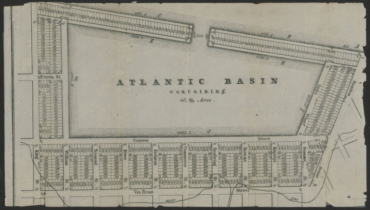
Atlantic Basin containing 40” 86/100 acres
Atlantic Basin containing 40” 86/100 acres
[18??]
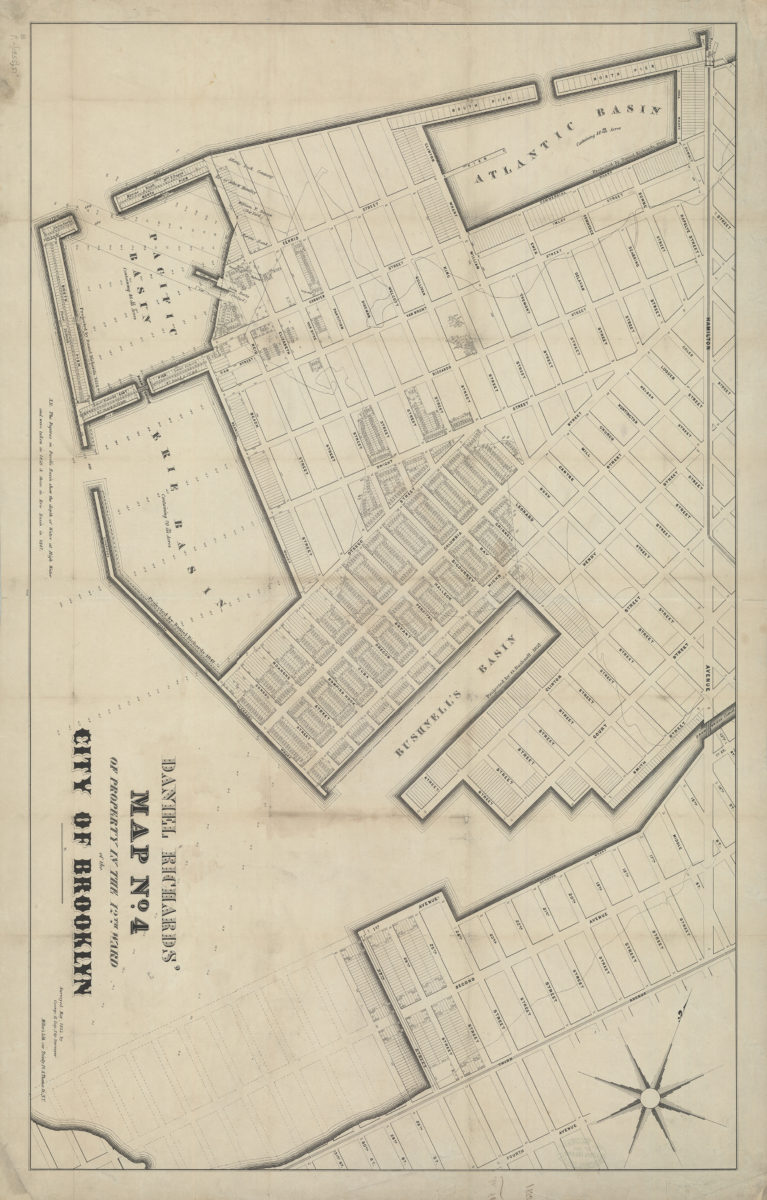
Daniel Richards’ map no. 4 of property in the 12th Ward of the city of Brooklyn: surveyed May, 1855, by George H. Day, city surveyor
Daniel Richards’ map no. 4 of property in the 12th Ward of the city of Brooklyn: surveyed May, 1855, by George H. Day, city surveyor
[1855]