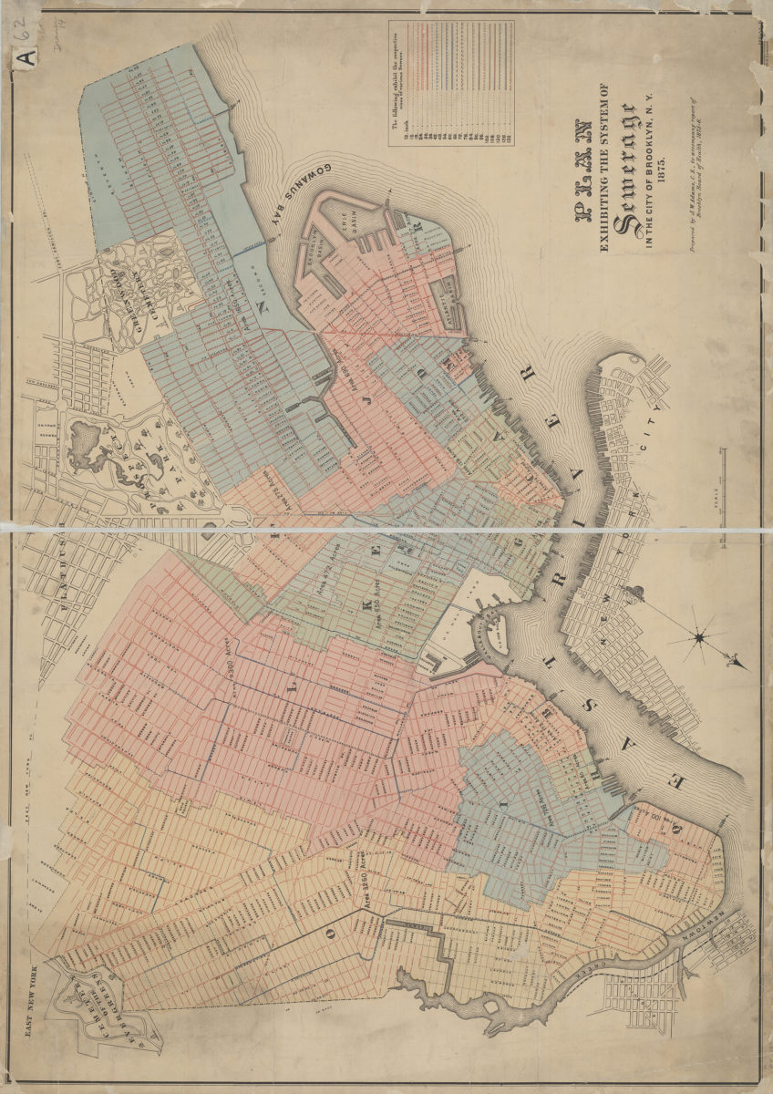
Plan exhibiting the system of sewerage in the city of Brooklyn, N.Y.: prepared by J.W. Adams ….
1875
[Map of area north from Senator St. to Latting Pl. and east from New York Bay to 2nd Ave.]: V.B. Bergen, C.E.
July 30, 1888