Center for Brooklyn History
Map Collections
Search
About
Othmer Library & Archives
Submit search query
Refine 2 records
Clear filters
3
Location
Long Island (N.Y.)
197
Subject
Ice sheets
1
Date
19th Century
945
or enter range:
from
to
Genres
Topographic maps
70
Sort by:
Date (earliest)
Date (most recent)
[Map of Long Island covering area east from Brooklyn to Springfield and north from Flatlands to Flushing]
[Map of Long Island covering area east from Brooklyn to Springfield and north from Flatlands to Flushing]
[18??]
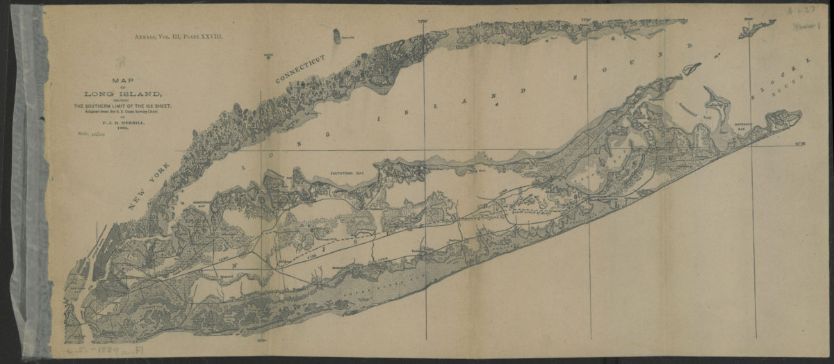
Map of Long Island, showing the southern limit of the ice sheet: adapted from the U.S. Coast Survey Chart: by F.J.H. Merrill
Map of Long Island, showing the southern limit of the ice sheet: adapted from the U.S. Coast Survey Chart: by F.J.H. Merrill
[1886]