Center for Brooklyn History
Map Collections
Search
About
Othmer Library & Archives
Submit search query
Refine 2 records
Clear filters
4
Location
Brooklyn (New York, N.Y.)
891
Jersey City (N.J.)
4
Manhattan (New York, N.Y.)
120
Nassau County (N.Y.)
24
New York (N.Y.)
164
Queens (New York, N.Y.)
83
Subject
Aqueducts
3
Buildings
12
Canals
15
Fills (Earthwork)
4
Piers
25
Ponds
6
Railroads
72
Reservoirs
2
Rivers
16
Roads
117
Streets
46
Wetlands
6
Date
19th Century
945
or enter range:
from
to
Genres
Map
191
Thematic maps
60
Sort by:
Date (earliest)
Date (most recent)
City & County map of New-York, Brooklyn, Williamsburgh, Jersey City and the adjacent waters: by J.H. Colton
City & County map of New-York, Brooklyn, Williamsburgh, Jersey City and the adjacent waters: by J.H. Colton
1852; [ca. 1845]
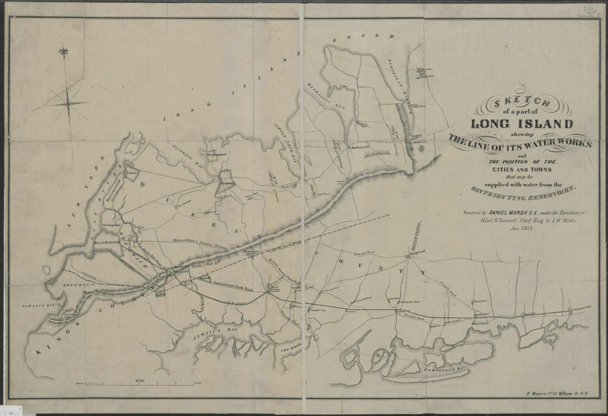
Sketch of a part of Long Island shewing the line of its water works and the position of the cities and towns that may be supplied with water from the distributing reservoirs: surveyed by Daniel Marsh … under the direction of Ward B. Burnett
Sketch of a part of Long Island shewing the line of its water works and the position of the cities and towns that may be supplied with water from the distributing reservoirs: surveyed by Daniel Marsh … under the direction of Ward B. Burnett
January 1853