Center for Brooklyn History
Map Collections
Search
About
Othmer Library & Archives
Submit search query
Refine 3 records
Clear filters
3
Location
Boerum Hill (New York, N.Y.)
6
Brooklyn (New York, N.Y.)
891
Brooklyn Heights (New York, N.Y.)
76
Carroll Gardens (New York, N.Y.)
21
Cobble Hill (New York, N.Y.)
7
Subject
Landowners
434
Real property
619
Streets
46
Date
20th Century
469
or enter range:
from
to
Genres
Cadastral maps
597
Sort by:
Date (earliest)
Date (most recent)
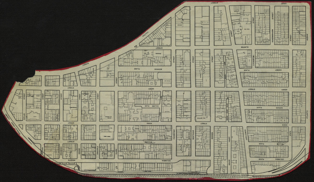
[Map of Brooklyn Heights]
[Map of Brooklyn Heights]
[19??]
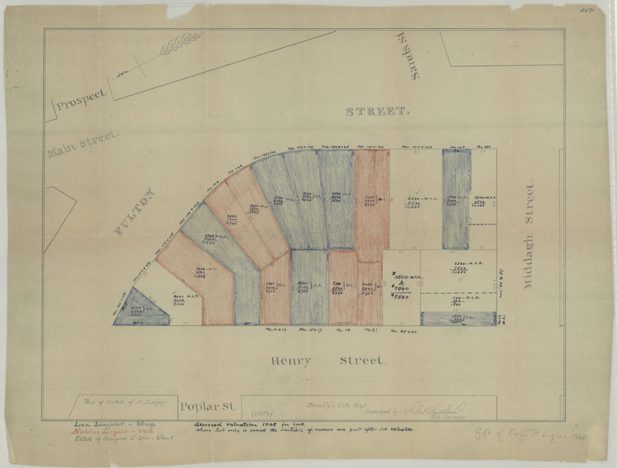
[Map of area bounded by Fulton St., Henry St., and Middagh St.]: surveyed by Silas Ludlam, city surveyor
[Map of area bounded by Fulton St., Henry St., and Middagh St.]: surveyed by Silas Ludlam, city surveyor
[19??]
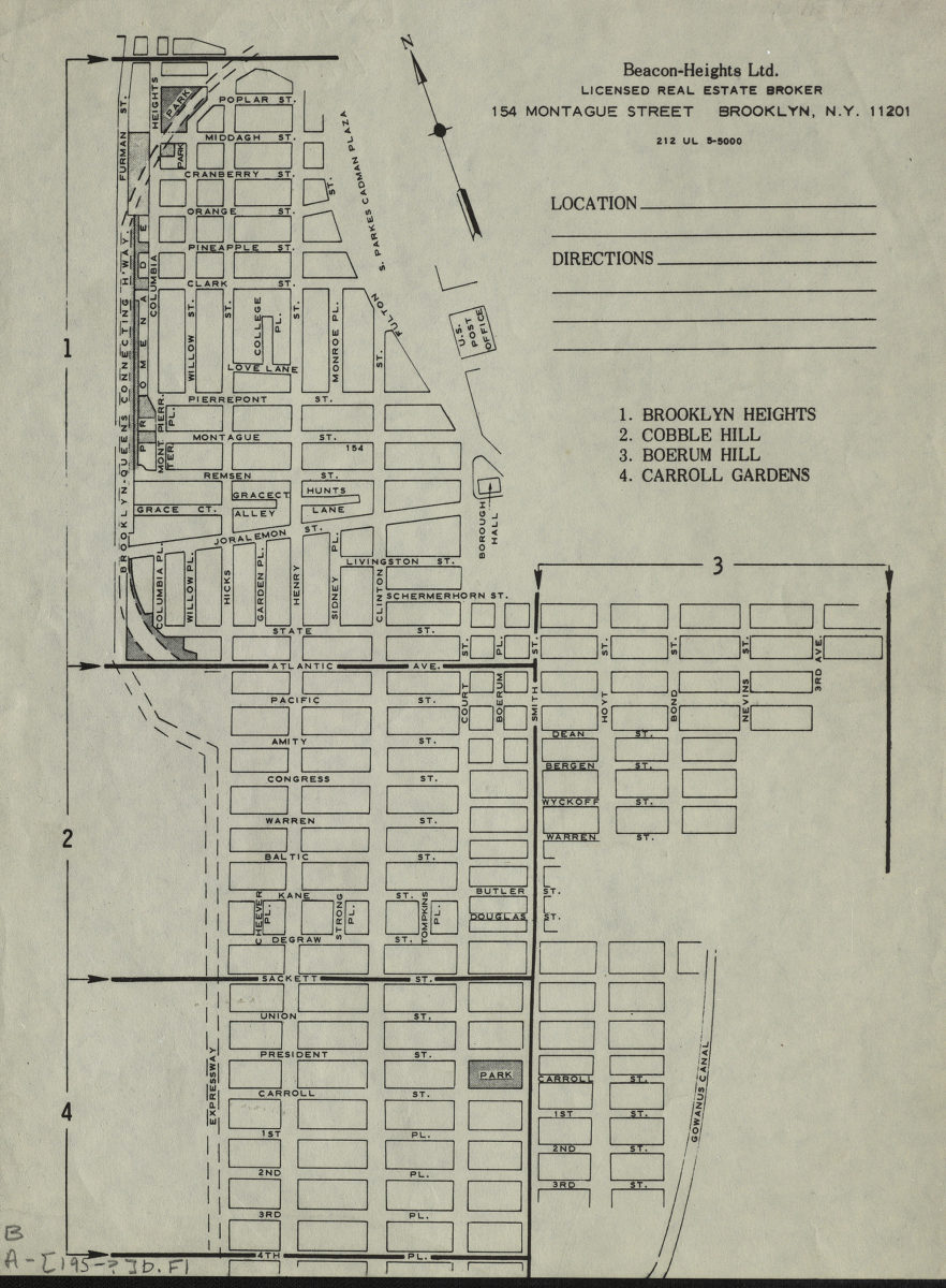
Brooklyn Heights, Cobble Hill, Boerum Hill, Carroll Gardens
Brooklyn Heights, Cobble Hill, Boerum Hill, Carroll Gardens
[195?]