Center for Brooklyn History
Map Collections
Search
About
Othmer Library & Archives
Submit search query
Refine 5 records
Clear filters
2
Location
Boerum Hill (New York, N.Y.)
6
Brooklyn (New York, N.Y.)
891
Brooklyn Heights (New York, N.Y.)
76
Brooklyn-Queens Expressway (New York, N.Y.)
3
Carroll Gardens (New York, N.Y.)
21
Cobble Hill (New York, N.Y.)
7
Columbia Street Waterfront District (New York, N.Y.)
3
Downtown Brooklyn (New York, N.Y.)
29
Fort Greene (New York, N.Y.)
22
Red Hook (New York, N.Y.)
19
Sunset Park (New York, N.Y.)
53
Williamsburg (New York, N.Y.)
36
Subject
Election districts
36
Express highways
3
Streets
46
Date
20th Century
469
or enter range:
from
to
Genres
Cadastral maps
597
Map
191
Road maps
83
Sort by:
Date (earliest)
Date (most recent)
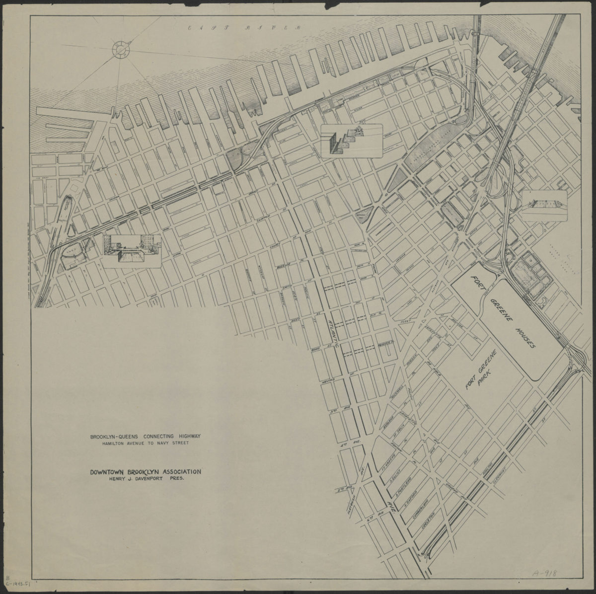
Brooklyn-Queens connecting highway: Hamilton Avenue to Navy Street: Downtown Brooklyn Association
Brooklyn-Queens connecting highway: Hamilton Avenue to Navy Street: Downtown Brooklyn Association
[1943]
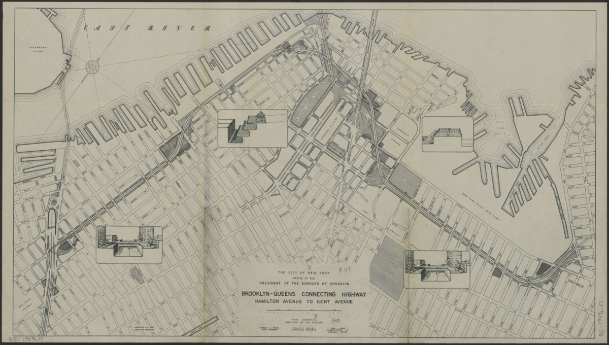
Brooklyn-Queens connecting highway: Hamilton Avenue to Kent Avenue
Brooklyn-Queens connecting highway: Hamilton Avenue to Kent Avenue
[1949]
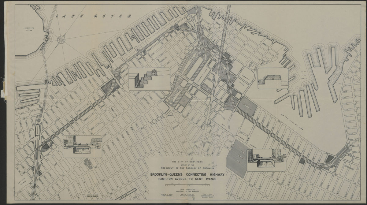
Brooklyn-Queens connecting highway: Hamilton Avenue to Kent Avenue
Brooklyn-Queens connecting highway: Hamilton Avenue to Kent Avenue
1949
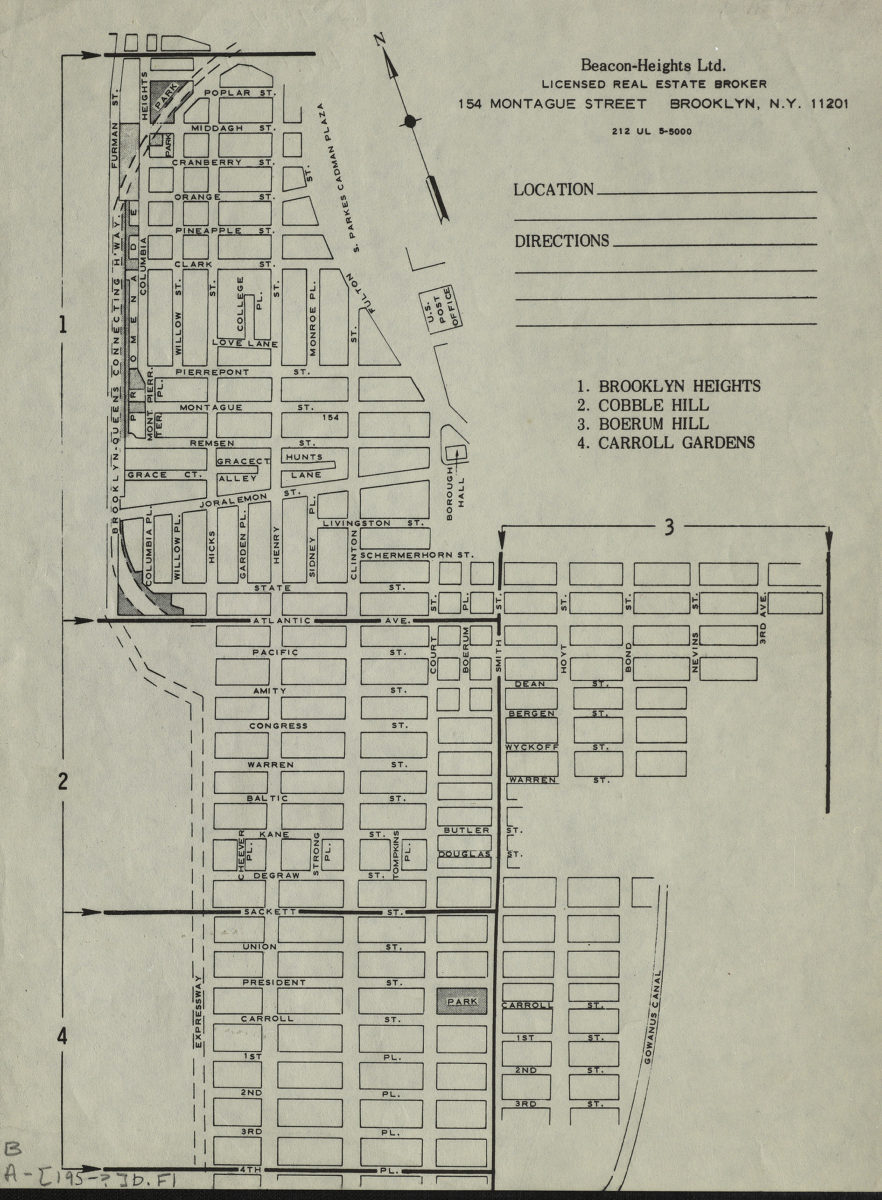
Brooklyn Heights, Cobble Hill, Boerum Hill, Carroll Gardens
Brooklyn Heights, Cobble Hill, Boerum Hill, Carroll Gardens
[195?]
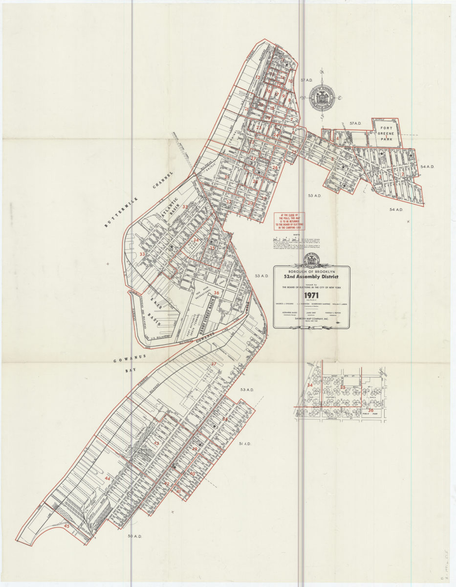
Borough of Brooklyn 52nd Assembly District, 1971: issued by the Board of Elections in the City of New York
Borough of Brooklyn 52nd Assembly District, 1971: issued by the Board of Elections in the City of New York
1971