Center for Brooklyn History
Map Collections
Search
About
Othmer Library & Archives
Submit search query
Refine 2 records
Clear filters
2
Location
Brooklyn (New York, N.Y.)
891
Coney Island (New York, N.Y.)
22
Gravesend (New York, N.Y.)
25
New York (N.Y.)
164
New York (State)
95
New York Harbor (N.Y. and N.J.)
16
Subject
Landowners
434
Real property
619
Date
18th Century
12
19th Century
945
or enter range:
from
to
Genres
Cadastral maps
597
Early maps
35
Early works
3
Manuscript maps
365
Sort by:
Date (earliest)
Date (most recent)
A plan of the city of New-York & its environs: to Greenwich, on the North or Hudsons River, and to Crown Point, on the East or Sound River, shewing the several streets, publick buildings, docks, fort & battery,
A plan of the city of New-York & its environs: to Greenwich, on the North or Hudsons River, and to Crown Point, on the East or Sound River, shewing the several streets, publick buildings, docks, fort & battery,
1775
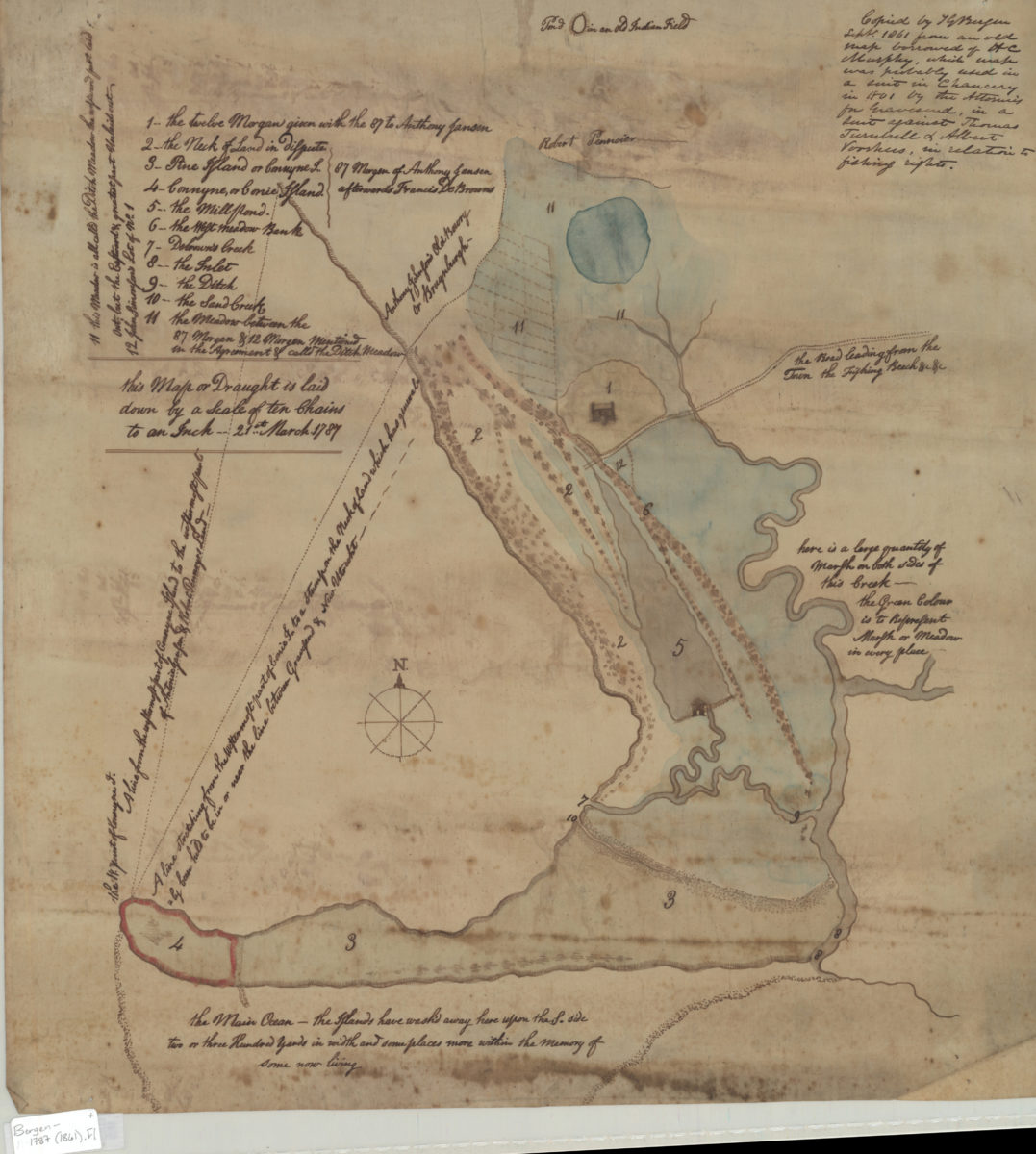
[Map of Gravesend and Coney Island]
[Map of Gravesend and Coney Island]
Sept. 1861