Center for Brooklyn History
Map Collections
Search
About
Othmer Library & Archives
Submit search query
Refine 2 records
Clear filters
2
Location
Bay Ridge (New York, N.Y.)
108
Brooklyn (New York, N.Y.)
891
Buttermilk Channel (New York, N.Y.)
1
East River (N.Y.)
3
Gowanus Bay (New York, N.Y.)
1
Red Hook (New York, N.Y.)
19
Upper Bay (N.Y. and N.J.)
4
Subject
Harbors
11
Piers
25
Date
19th Century
945
20th Century
469
or enter range:
from
to
Genres
Map
191
Sort by:
Date (earliest)
Date (most recent)
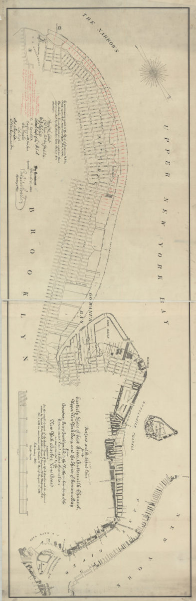
Pierhead and bulkhead lines for the easterly shore of East River, Buttermilk Channel, Upper New York Bay, and the shores of Gowanus Bay, from Broadway Ferry Brooklyn, E.D., to the northern boundary of the government land at Fort Hamilton
Pierhead and bulkhead lines for the easterly shore of East River, Buttermilk Channel, Upper New York Bay, and the shores of Gowanus Bay, from Broadway Ferry Brooklyn, E.D., to the northern boundary of the government land at Fort Hamilton
February 1890
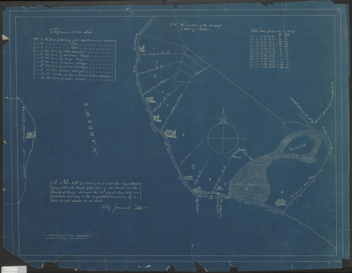
A map of a tract of land called the Nyash Patent, lying within the limits of the town of New Utrecht in the county of Kings, surveyed the 26th day of May 1804 and protracted according to the magnetical meridian by a scale of eight chains to an inch
A map of a tract of land called the Nyash Patent, lying within the limits of the town of New Utrecht in the county of Kings, surveyed the 26th day of May 1804 and protracted according to the magnetical meridian by a scale of eight chains to an inch
[1918]