Center for Brooklyn History
Map Collections
Search
About
Othmer Library & Archives
Submit search query
Refine 2 records
Clear filters
3
Location
New York (N.Y.)
164
New York (State)
95
Saint Lawrence River
2
Subject
Date
19th Century
945
or enter range:
from
to
Genres
Map
191
Sort by:
Date (earliest)
Date (most recent)
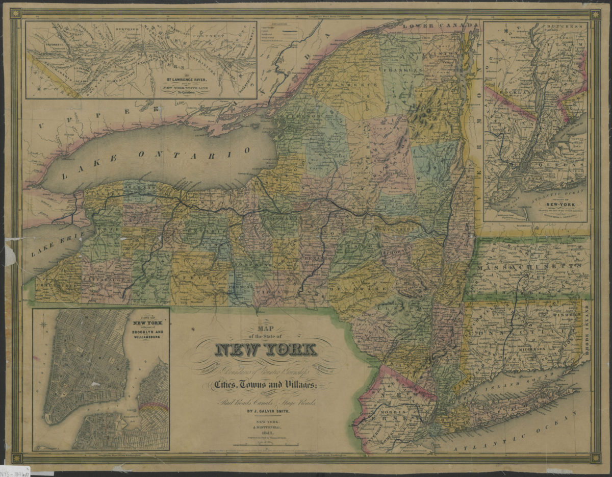
Map of the state of New York: showing the boundaries of counties & townships, the location of cities, towns and villages, the courses of rail roads, canals & stage roads: by J. Calvin Smith
Map of the state of New York: showing the boundaries of counties & townships, the location of cities, towns and villages, the courses of rail roads, canals & stage roads: by J. Calvin Smith
1841
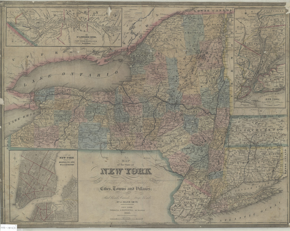
Map of the state of New York: showing the boundaries of counties & townships, the location of cities, towns and villages, the courses of rail roads, canals & stage roads: by J. Calvin Smith
Map of the state of New York: showing the boundaries of counties & townships, the location of cities, towns and villages, the courses of rail roads, canals & stage roads: by J. Calvin Smith
1845; [ca. 1842]