Center for Brooklyn History
Map Collections
Search
About
Othmer Library & Archives
Submit search query
Refine 5 records
Clear filters
3
Location
Long Island (N.Y.)
197
Manhattan (New York, N.Y.)
120
New York (State)
95
New York Metropolitan Area
40
Westchester County (N.Y.)
11
Subject
ferries
32
Railroads
72
Roads
117
Steamboat lines
4
Date
20th Century
469
or enter range:
from
to
Genres
Road maps
83
Transportation maps
120
Sort by:
Date (earliest)
Date (most recent)
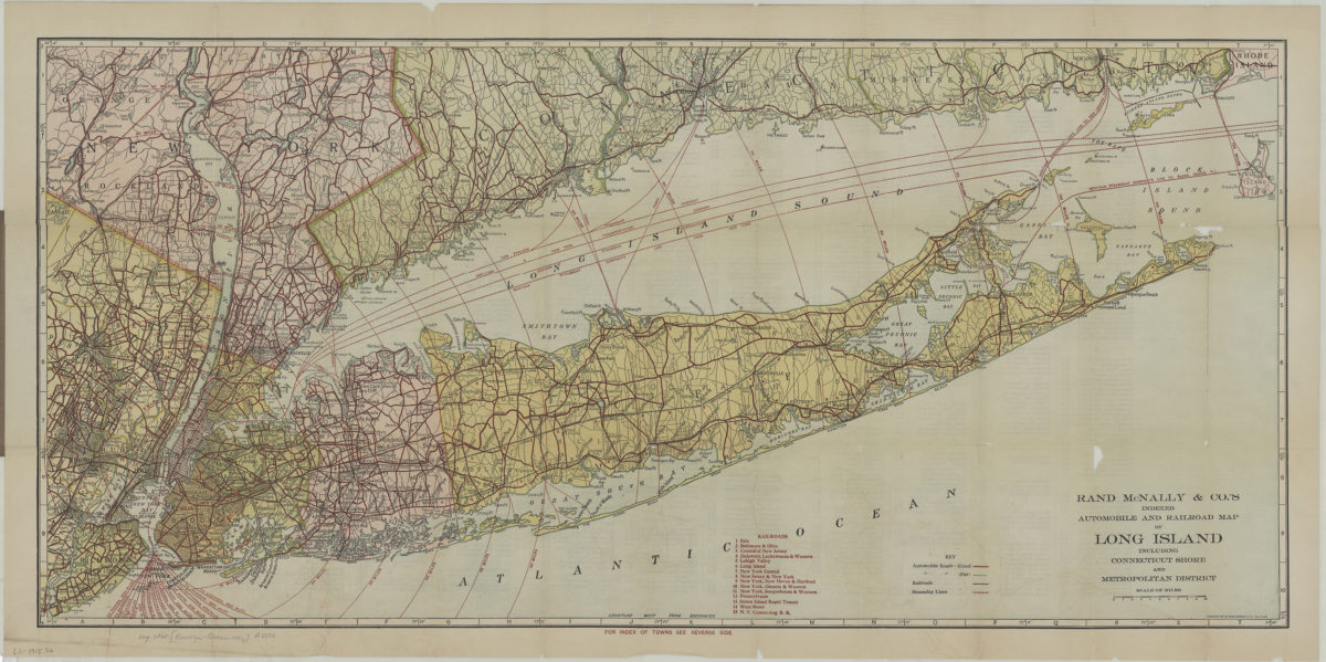
Rand McNally indexed automobile and railroad pocket map of Long Island including Connecticut shore and Metropolitan district
Rand McNally indexed automobile and railroad pocket map of Long Island including Connecticut shore and Metropolitan district
[1915; 1915]
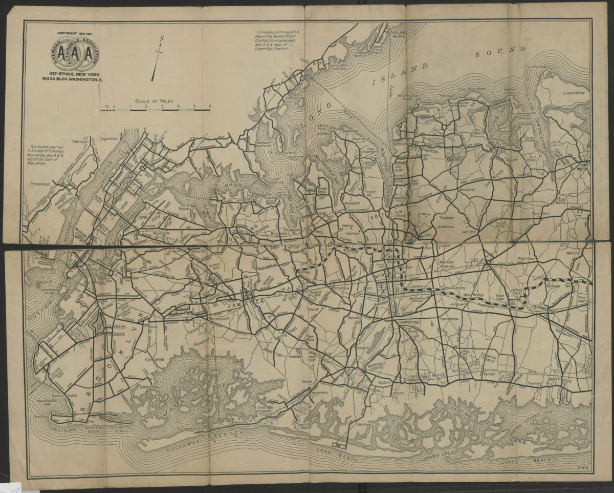
Suburban Long Island: detail of routes in a heavily-traveled and complicated section of the metropolitan district, showing bridges and ferries to and from Manhattan, the Bronx, lower Westchester County and suburban New Jersey
Suburban Long Island: detail of routes in a heavily-traveled and complicated section of the metropolitan district, showing bridges and ferries to and from Manhattan, the Bronx, lower Westchester County and suburban New Jersey
[ca. 1916]
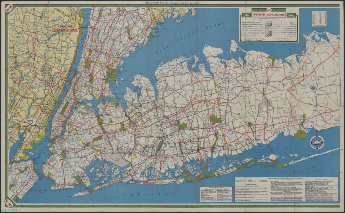
Long Island, Metropolitan New York, Westchester County
Long Island, Metropolitan New York, Westchester County
[1957]
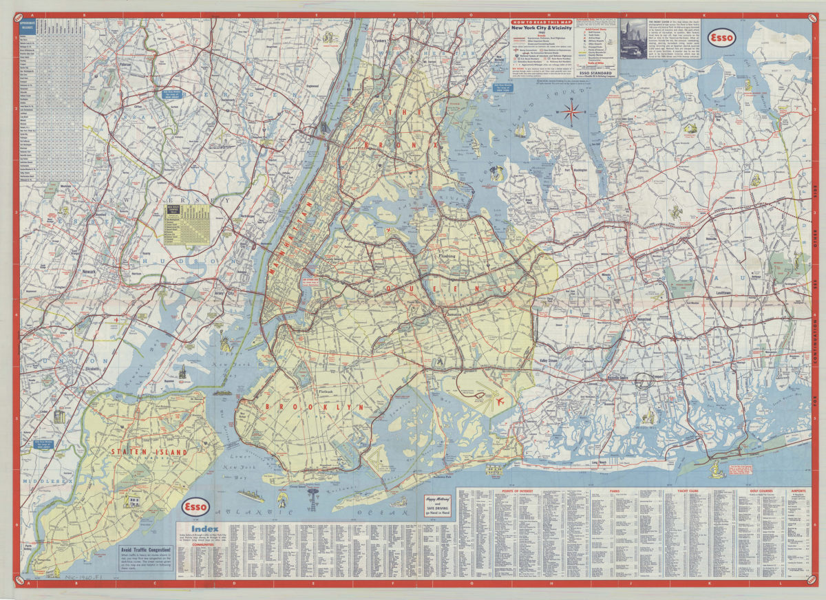
New York City & vicinity,1960: General Drafting Company ; [prepared for] Esso Standard
New York City & vicinity,1960: General Drafting Company ; [prepared for] Esso Standard
1960
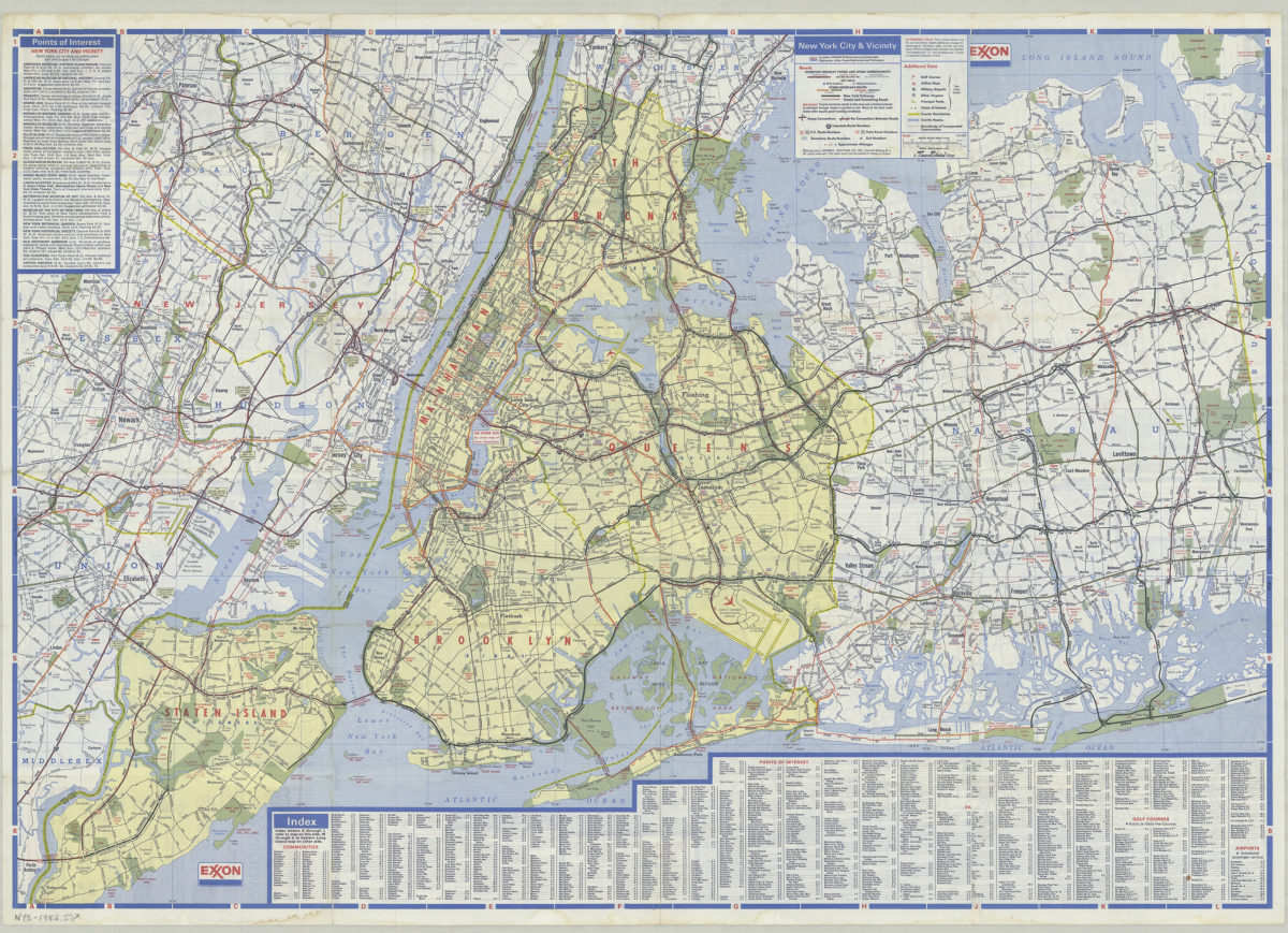
New York City and Long Island: featuring complete index, special area maps, recreation areas, points of interest text: Exxon
New York City and Long Island: featuring complete index, special area maps, recreation areas, points of interest text: Exxon
[ca. 1982]