Center for Brooklyn History
Map Collections
Search
About
Othmer Library & Archives
Submit search query
Refine 3 records
Clear filter
1
Location
Abingdon Square (New York, N.Y.)
1
Battery Park (New York, N.Y.)
3
Belt Parkway (New York, N.Y.)
1
Brooklyn (New York, N.Y.)
891
Brooklyn-Battery Bridge (New York, N.Y.)
1
City Hall Park (New York, N.Y.)
1
Columbus Park (New York, N.Y.)
1
Duane Street Park (New York, N.Y.)
1
Gramercy Park (New York, N.Y.)
1
Madison Square Park (New York, N.Y.)
1
Manhattan (New York, N.Y.)
120
New York (N.Y.)
164
Stuyvesant Square (New York, N.Y.)
1
Tompkins Square (New York, N.Y.)
1
Union Square (New York, N.Y.)
1
Washington Square (New York, N.Y.)
1
Subject
Bridges
13
Buildings
12
Highway planning
2
Parks
35
Real property
619
Date
19th Century
945
20th Century
469
or enter range:
from
to
Genres
Cadastral maps
597
Road maps
83
Thematic maps
60
Sort by:
Date (earliest)
Date (most recent)
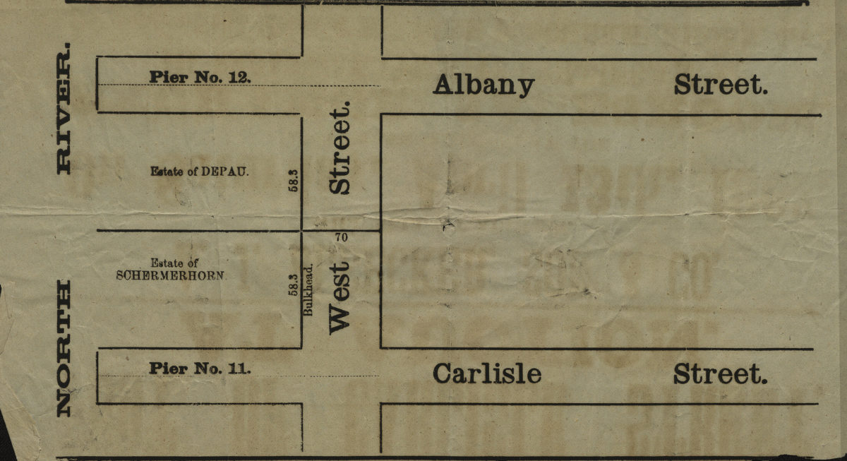
[Map showing area north from Carlisle St. to Albany St. and east from the North River to approximately West St.].
[Map showing area north from Carlisle St. to Albany St. and east from the North River to approximately West St.].
[18??]
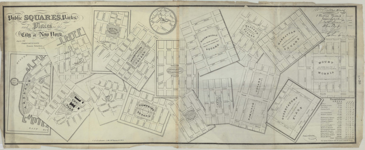
Public squares, parks, and places in the city of New York: compiled and surveyed by Francis Nicholson
Public squares, parks, and places in the city of New York: compiled and surveyed by Francis Nicholson
August 1838
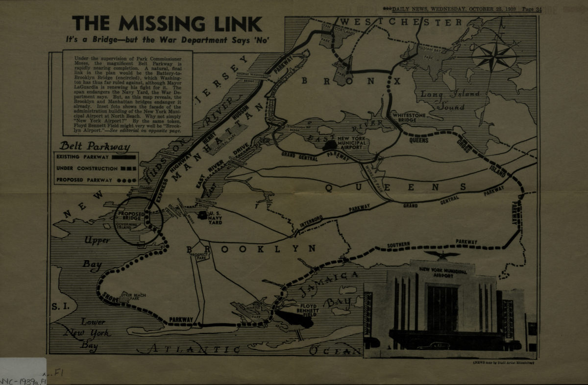
The missing link: it’s a bridge but the War Department says ‘no.’
The missing link: it’s a bridge but the War Department says ‘no.’
[1939]