Center for Brooklyn History
Map Collections
Search
About
Othmer Library & Archives
Submit search query
Refine 2 records
Clear filter
1
Location
Block Island (R.I. : Island)
2
Gardiners Bay (N.Y.)
1
Long Island (N.Y.)
197
Long Island Sound (N.Y. and Conn.)
12
Napeague Bay (N.Y.)
1
Subject
Date
19th Century
945
20th Century
469
or enter range:
from
to
Genres
Bathymetric maps
94
Loran charts
3
Nautical charts
30
Sort by:
Date (earliest)
Date (most recent)
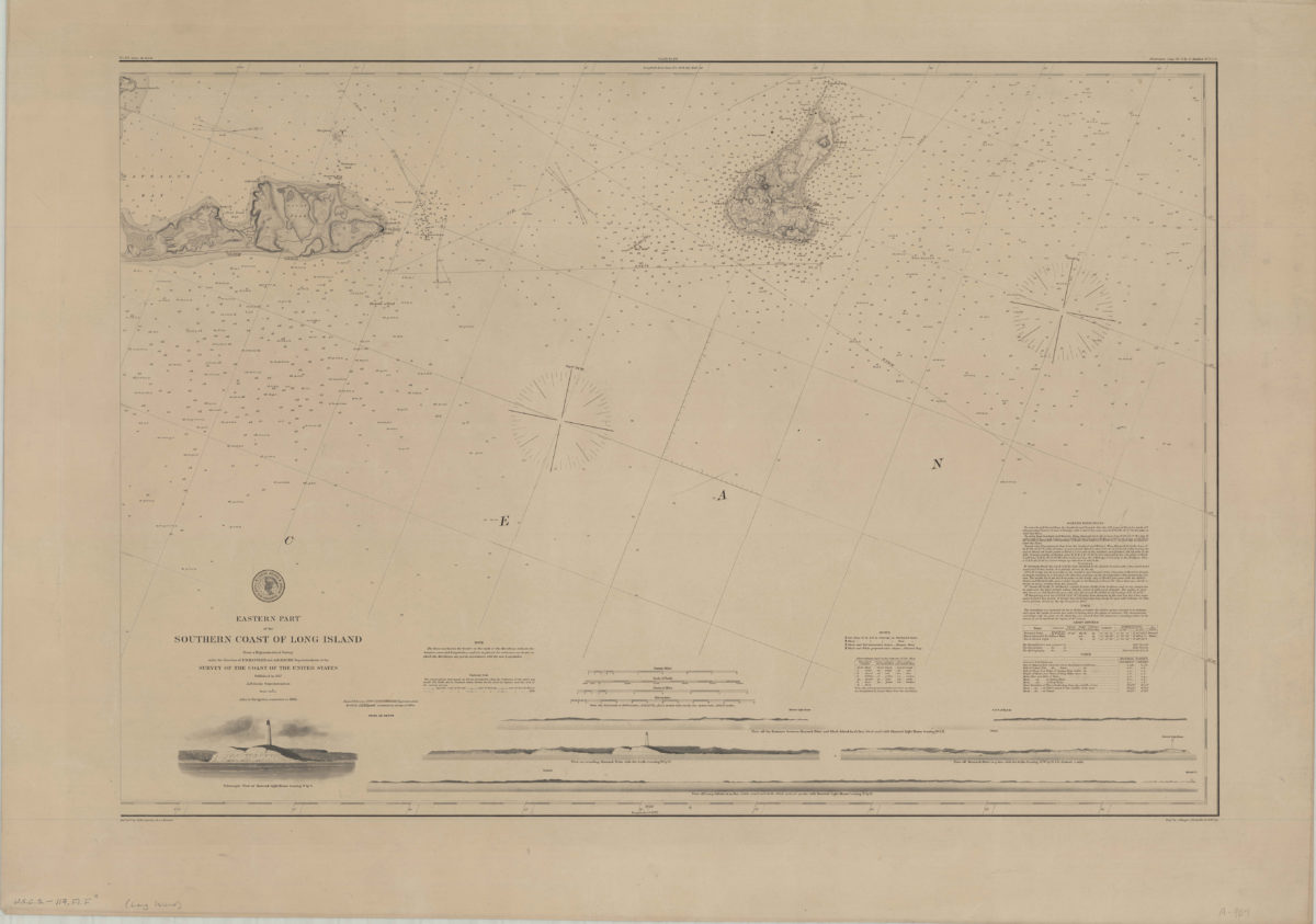
Eastern part of the southern coast of Long Island: from a trigonometrical survey under the direction of F.R. Hassler and A.D. Bache superintendent of the Survey of the Coast of the United States
Eastern part of the southern coast of Long Island: from a trigonometrical survey under the direction of F.R. Hassler and A.D. Bache superintendent of the Survey of the Coast of the United States
1878
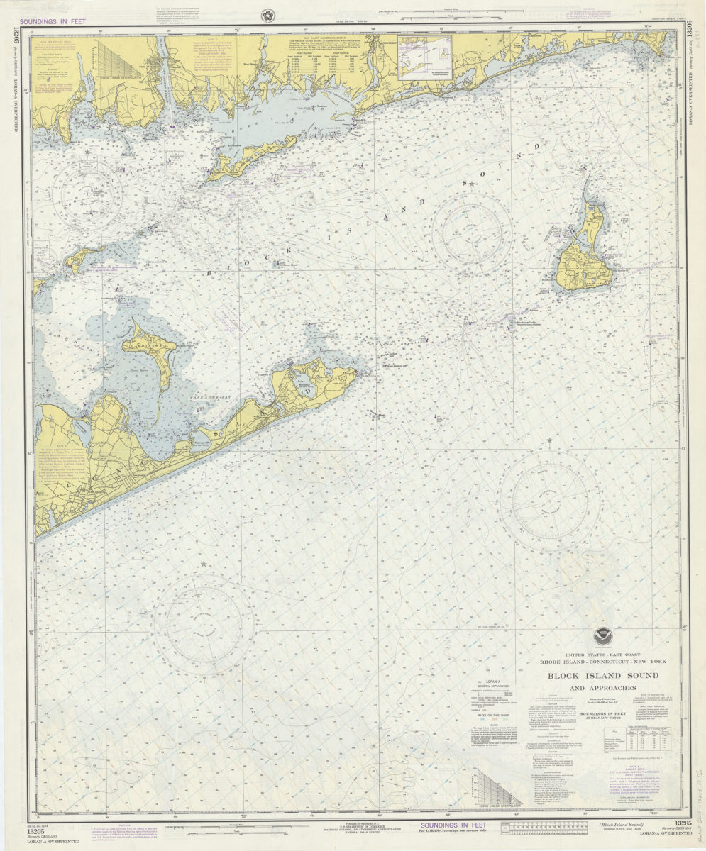
United States–east coast, Rhode Island–Connecticut–New York, Block Island Sound and approaches: National Ocean Survey
United States–east coast, Rhode Island–Connecticut–New York, Block Island Sound and approaches: National Ocean Survey
1974