Center for Brooklyn History
Map Collections
Search
About
Othmer Library & Archives
Submit search query
Refine 4 records
Clear filters
4
Location
Brooklyn (New York, N.Y.)
891
Brooklyn Heights (New York, N.Y.)
76
Downtown Brooklyn (New York, N.Y.)
29
Long Island (N.Y.)
197
New York Metropolitan Area
40
Queens (New York, N.Y.)
83
Subject
Parks
35
Parkways
1
Roads
117
Streets
46
Subways
55
Date
20th Century
469
or enter range:
from
to
Genres
Map
191
Sort by:
Date (earliest)
Date (most recent)
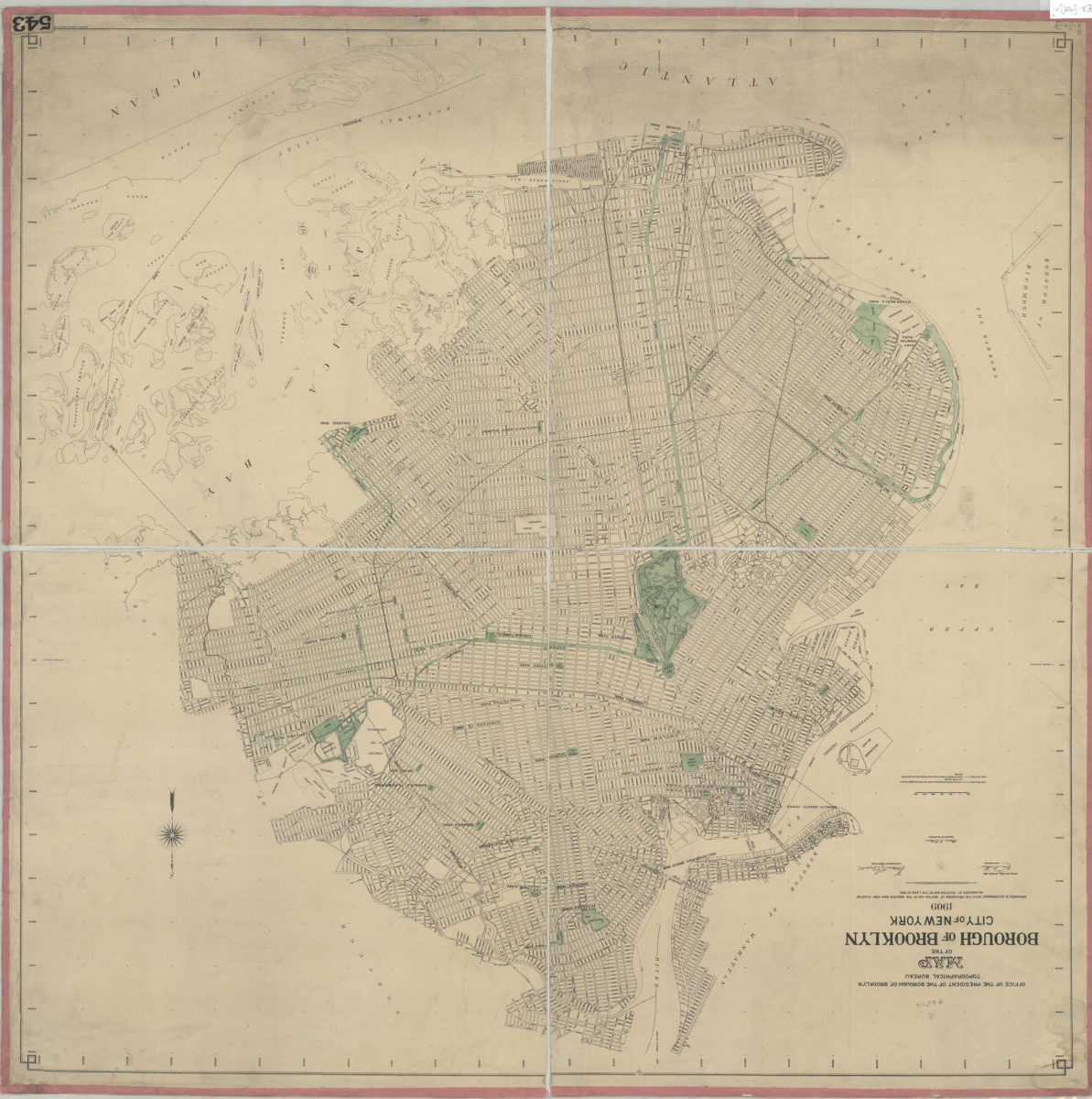
Map of the Borough of Brooklyn, City of New York, 1909: Office of the President of the Borough of Brooklyn, Topographical Bureau
Map of the Borough of Brooklyn, City of New York, 1909: Office of the President of the Borough of Brooklyn, Topographical Bureau
Oct-09
Shell street guide and metropolitan map of Brooklyn, Queens and Long Island: the H.M. Gousha Company
Shell street guide and metropolitan map of Brooklyn, Queens and Long Island: the H.M. Gousha Company
[1939]
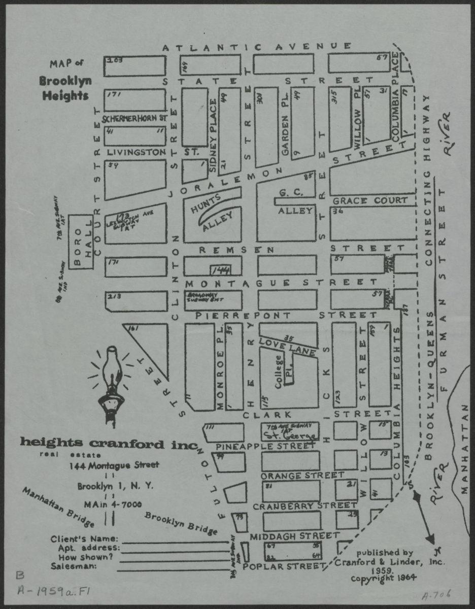
Map of Brooklyn Heights
Map of Brooklyn Heights
[1964; 1964]
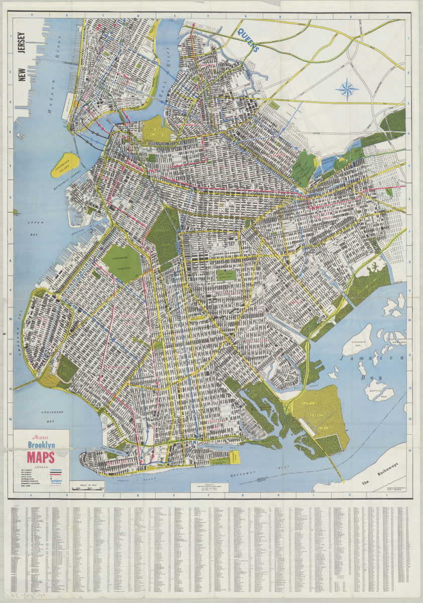
Nester’s Brooklyn maps: produced and designed by Lewis J. Nesterman
Nester’s Brooklyn maps: produced and designed by Lewis J. Nesterman
[1976]