Center for Brooklyn History
Map Collections
Search
About
Othmer Library & Archives
Submit search query
Refine 8 records
Clear filters
3
Location
Brooklyn (New York, N.Y.)
891
Lloyd Harbor (N.Y.)
1
Long Island (N.Y.)
197
New York Metropolitan Area
40
Patchogue (N.Y.)
2
Queens (New York, N.Y.)
83
Subject
Historic sites
3
Roads
117
Streets
46
Waterworks
5
Wells
2
Date
20th Century
469
or enter range:
from
to
Genres
Map
191
Sort by:
Date (earliest)
Date (most recent)
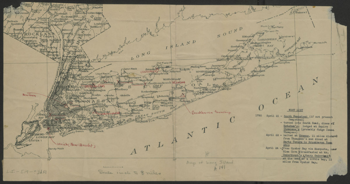
[Map of Long Island]
[Map of Long Island]
[19??]
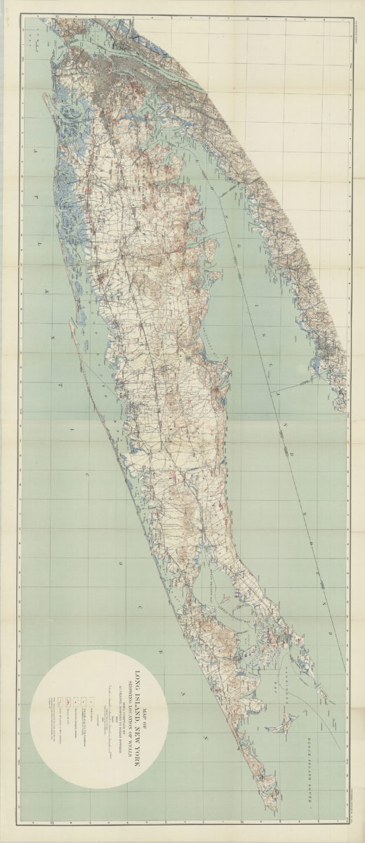
Map of Long Island, New York: showing location of wells: data compiled by A.C. Veatch, assisted by Isaiah Bowman
Map of Long Island, New York: showing location of wells: data compiled by A.C. Veatch, assisted by Isaiah Bowman
1904
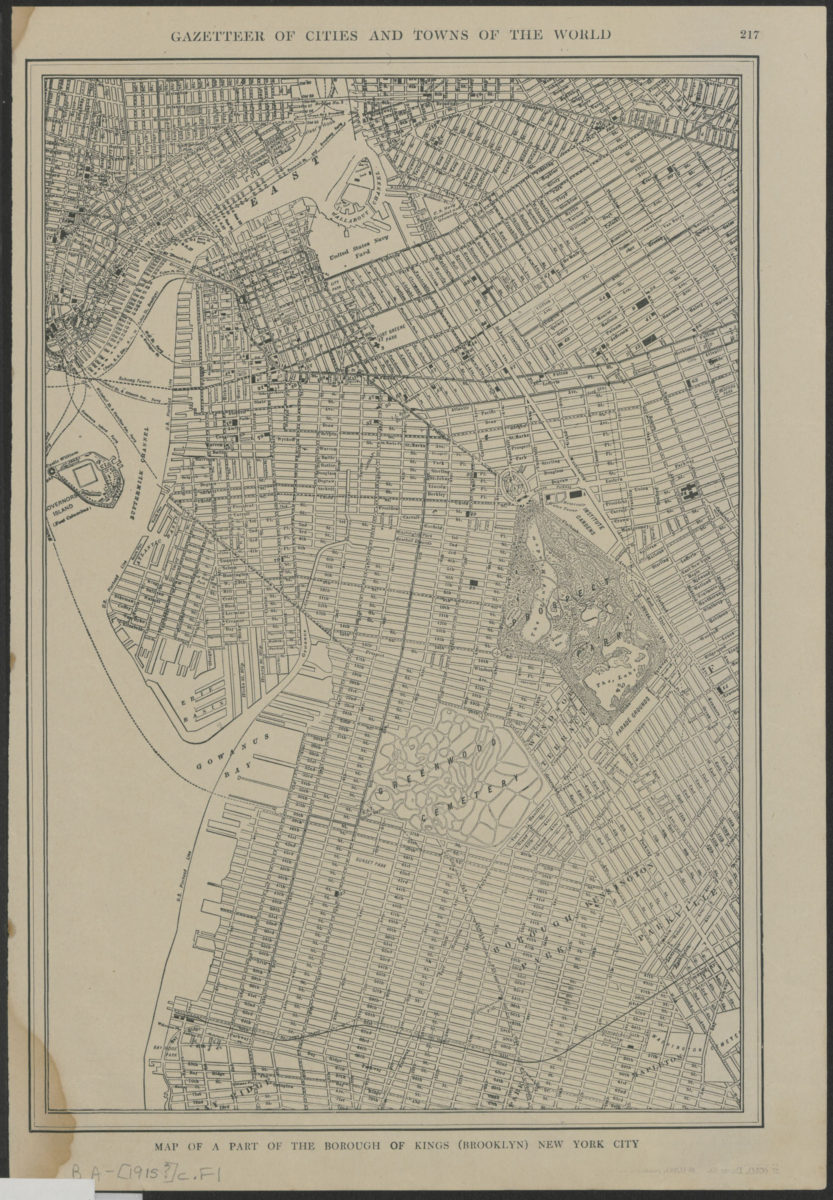
Map of a part of the borough of Kings (Brooklyn) New York City
Map of a part of the borough of Kings (Brooklyn) New York City
[1915]
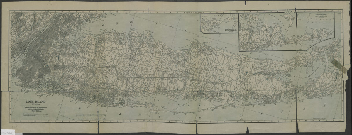
Long Island of today: C.S. Hammond & Co
Long Island of today: C.S. Hammond & Co
[1918]
Shell street guide and metropolitan map of Brooklyn, Queens and Long Island: the H.M. Gousha Company
Shell street guide and metropolitan map of Brooklyn, Queens and Long Island: the H.M. Gousha Company
[1939]
[Map of village of Patchogue]
[Map of village of Patchogue]
[195?]
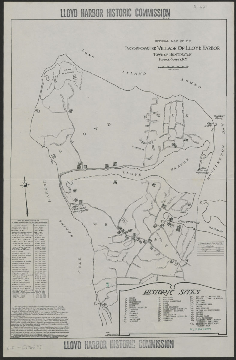
Official map of the Incorporated Village of Lloyd Harbor, Town of Huntington, Suffolk County, N.Y.
Official map of the Incorporated Village of Lloyd Harbor, Town of Huntington, Suffolk County, N.Y.
[1962]
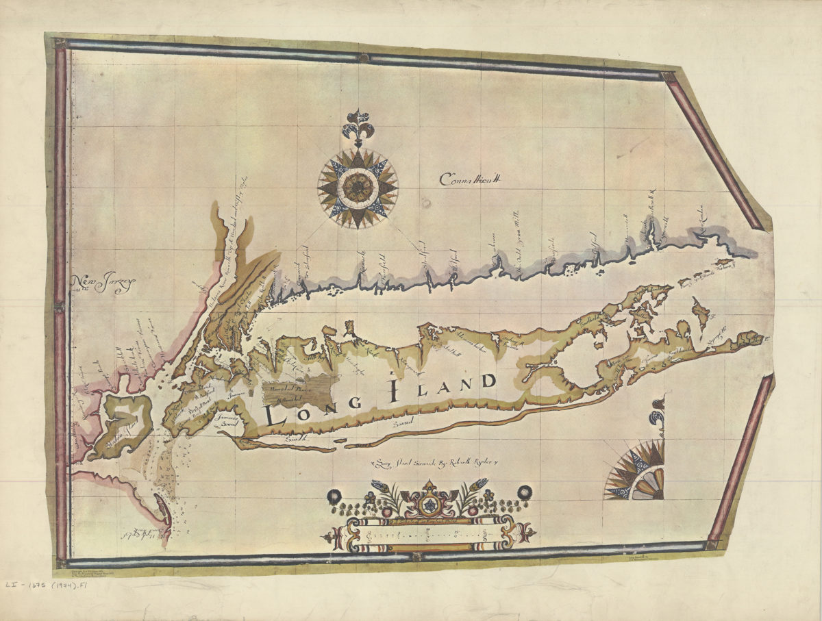
Long Island sirvaide: by Robartt Ryder
Long Island sirvaide: by Robartt Ryder
[ca. 1974]