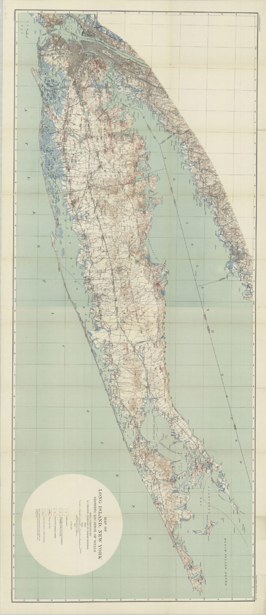
Map of Long Island, New York: showing location of wells: data compiled by A.C. Veatch, assisted by Isaiah Bowman 1904
Map No. L.I.-1904.Fl
“Plate XXIV.” Relief shown by contours and spot heights. Shows well locations, test wells, pumping stations, groups of wells, and lines of tunnels.
Map area shown
Genre
MapRelation
Full catalog recordSize
65 × 157 cmDownload
Low Resolution Image
Creator
Veatch, A. C.,Publisher
Brooklyn Historical SocietyCitation
Map of Long Island, New York: showing location of wells: data compiled by A.C. Veatch, assisted by Isaiah Bowman; 1904, Map Collection, L.I.-1904.Fl; Brooklyn Historical Society.Scale
Scale [ca. 1:125,000]Loading zoom image...