Center for Brooklyn History
Map Collections
Search
About
Othmer Library & Archives
Submit search query
Refine 6 records
Clear filters
4
Location
Long Island (N.Y.)
197
Nassau County (N.Y.)
24
Suffolk County (N.Y.)
43
Westchester County (N.Y.)
11
Subject
Railroads
72
Roads
117
Street addresses
11
Streets
46
Zip codes
4
Date
20th Century
469
or enter range:
from
to
Genres
Road maps
83
Transportation maps
120
Sort by:
Date (earliest)
Date (most recent)
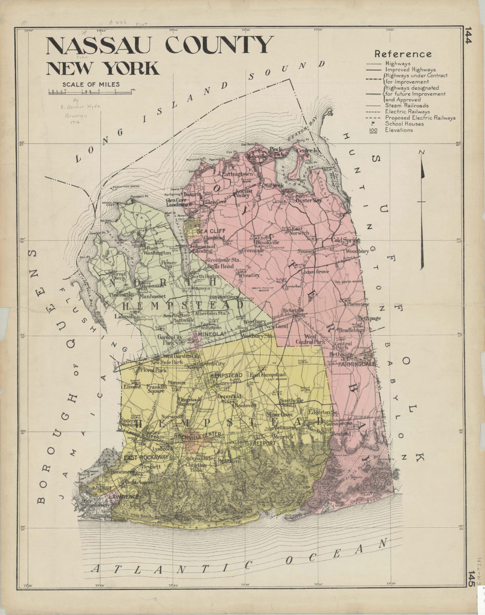
Nassau County, New York
Nassau County, New York
[1906]
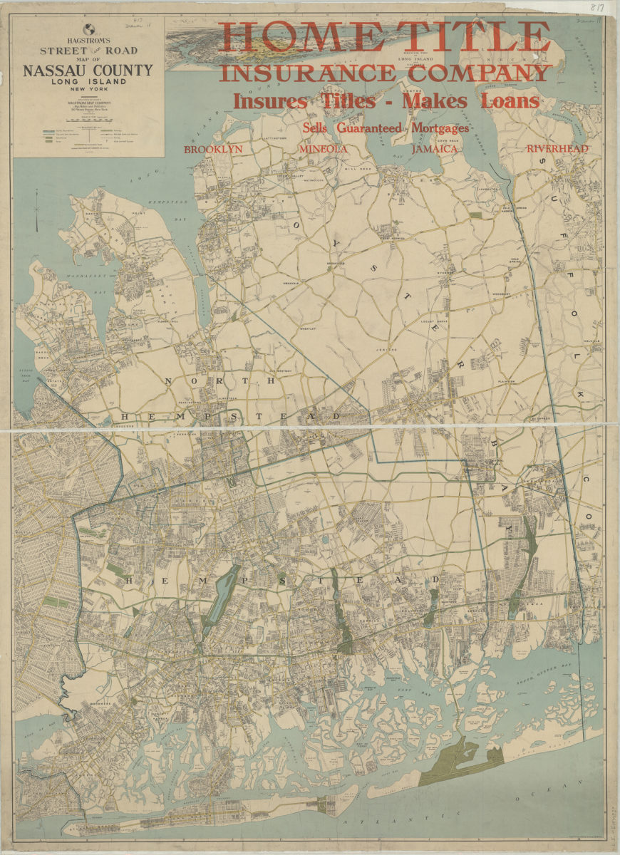
Hagstrom’s street and road map of Nassau County, Long Island, New York: compiled, printed and published by Hagstrom Map Company
Hagstrom’s street and road map of Nassau County, Long Island, New York: compiled, printed and published by Hagstrom Map Company
[1930]
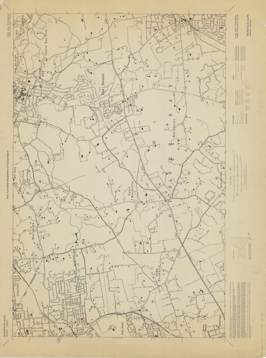
Hicksville (north)-Nassau County: New York State Department of Transportation
Hicksville (north)-Nassau County: New York State Department of Transportation
[1966]
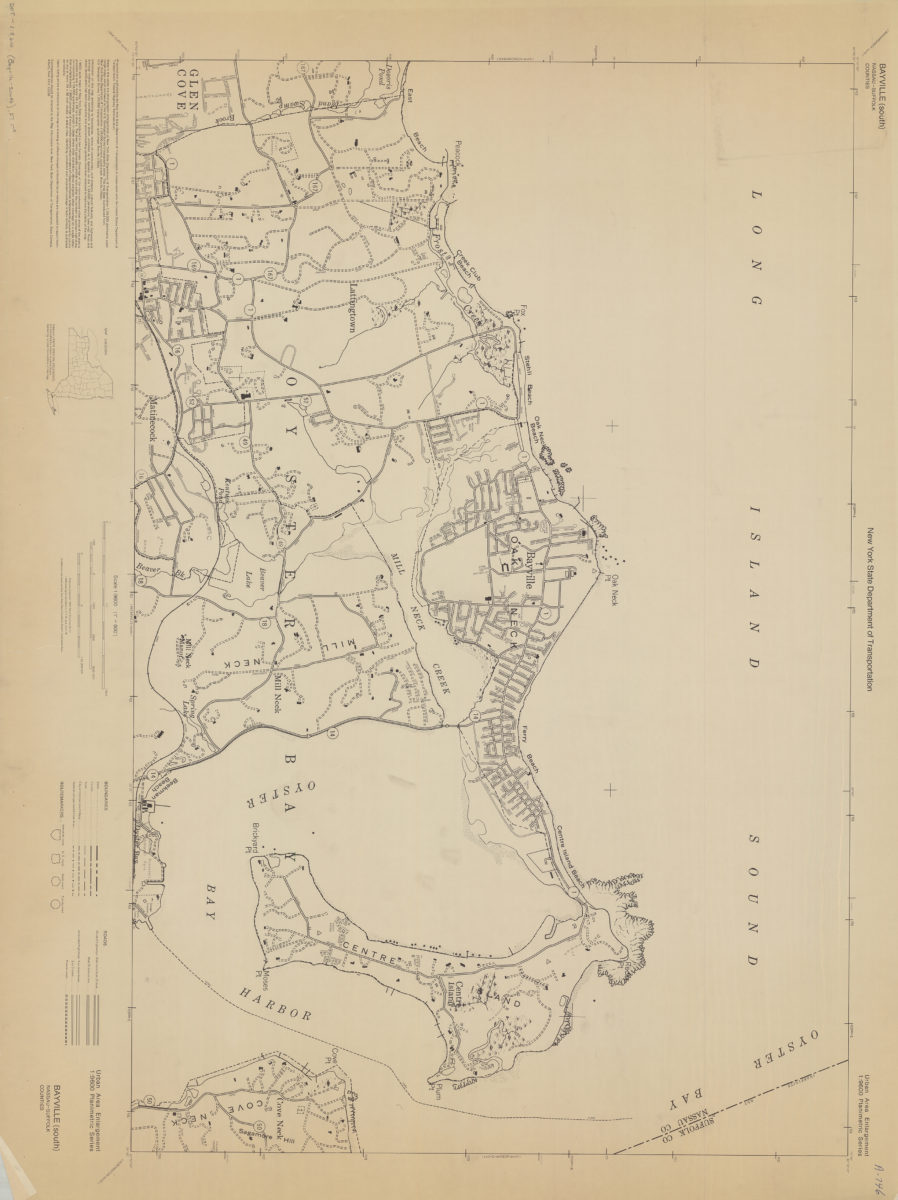
Bayville (south)-Nassau-Suffolk Counties: New York State Department of Transportation
Bayville (south)-Nassau-Suffolk Counties: New York State Department of Transportation
[1966]
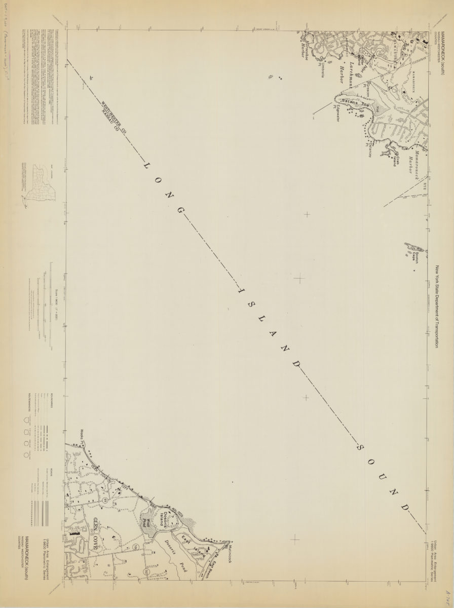
Mamaroneck (south)-Nassau/Westchester Counties: New York State Department of Transportation
Mamaroneck (south)-Nassau/Westchester Counties: New York State Department of Transportation
[1968]
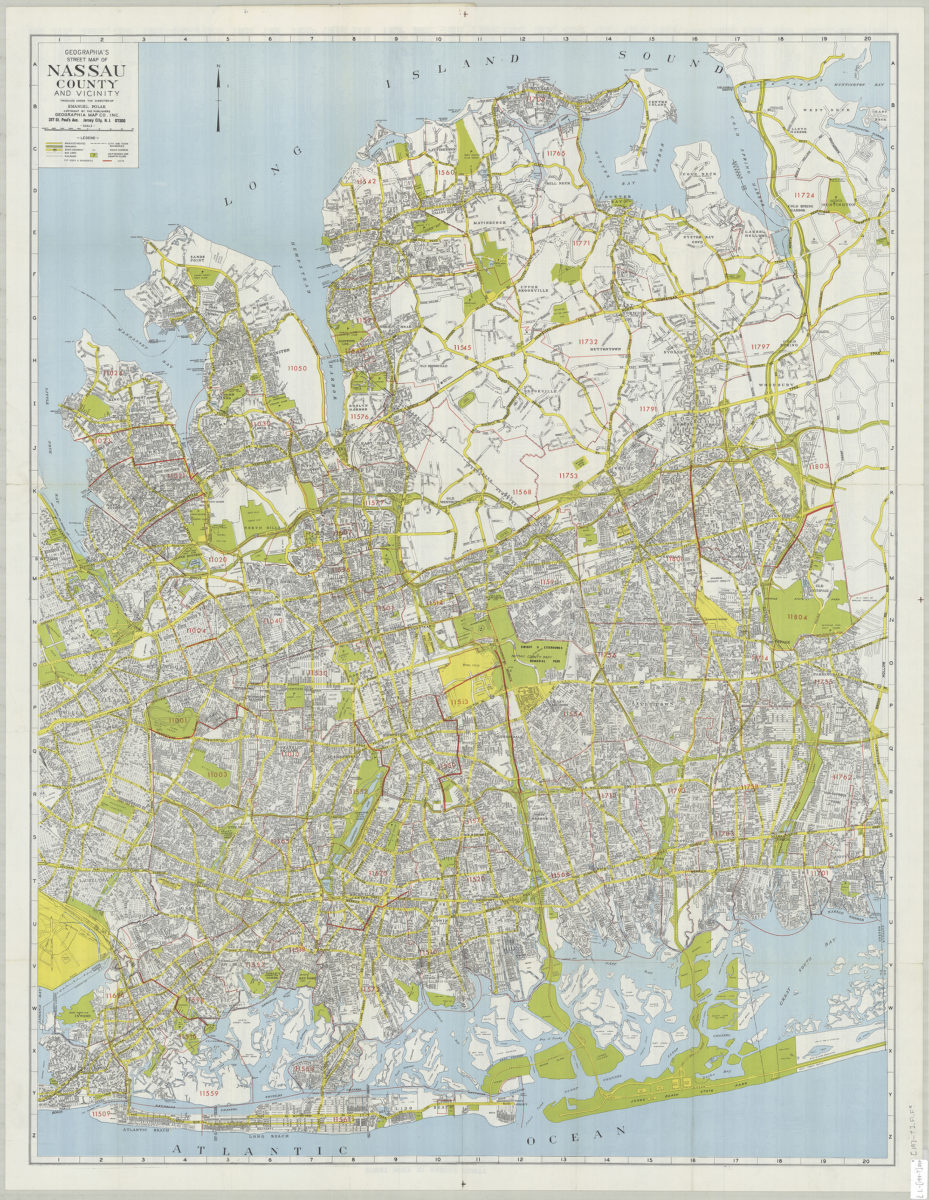
Geographia’s street map of Nassau County and vicinity: produced under the direction of Emanuel Polak
Geographia’s street map of Nassau County and vicinity: produced under the direction of Emanuel Polak
[197?]