Center for Brooklyn History
Map Collections
Search
About
Othmer Library & Archives
Submit search query
Refine 2 records
Clear filter
1
Location
Albany County (N.Y.)
1
Rensselaer County (N.Y.)
2
Saratoga County (N.Y.)
1
Washington County (N.Y.)
1
Subject
Landowners
434
Real property
619
Date
19th Century
945
20th Century
469
or enter range:
from
to
Genres
Cadastral maps
597
Topographic maps
70
Sort by:
Date (earliest)
Date (most recent)
A map of the Manor Renselaerwick: surveyed and laid down by a scale of 100 chains to an inch: by Jno. R. Bleeker, surveyor ; from the original in possession of Genl. Stephen Van Renselaer [sic] ; copied from the original by D. Vaughan
A map of the Manor Renselaerwick: surveyed and laid down by a scale of 100 chains to an inch: by Jno. R. Bleeker, surveyor ; from the original in possession of Genl. Stephen Van Renselaer [sic] ; copied from the original by D. Vaughan
[18??]
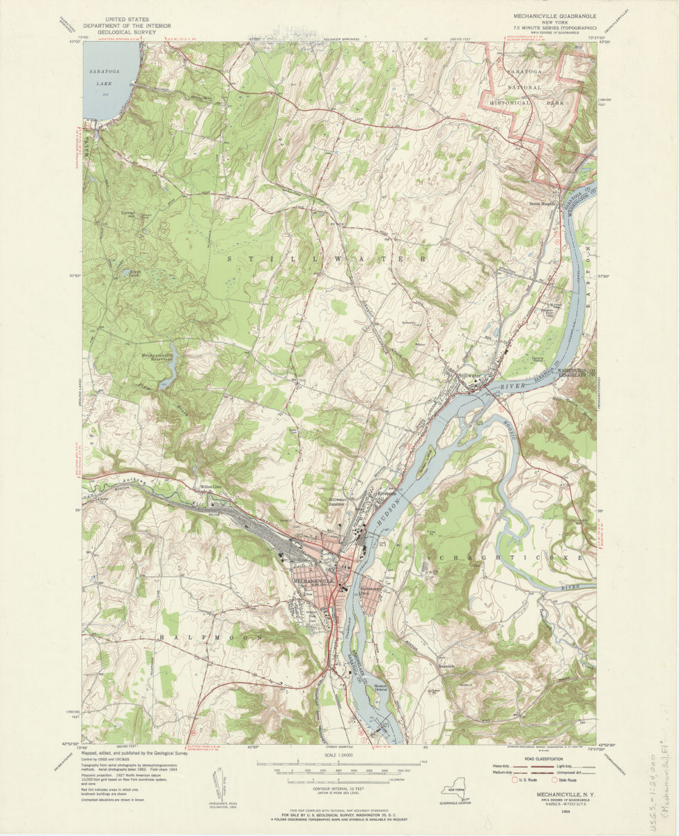
Mechanicville quadrangle, New York: mapped, edited, and published by the Geological Survey
Mechanicville quadrangle, New York: mapped, edited, and published by the Geological Survey
1956