Center for Brooklyn History
Map Collections
Search
About
Othmer Library & Archives
Submit search query
Refine 2 records
Clear filter
1
Location
Bedford-Stuyvesant (New York, N.Y.)
67
Brooklyn (New York, N.Y.)
891
Brownsville (New York, N.Y.)
10
Subject
City planning
7
Community development
2
Land use
5
Date
20th Century
469
or enter range:
from
to
Genres
Thematic maps
60
Sort by:
Date (earliest)
Date (most recent)
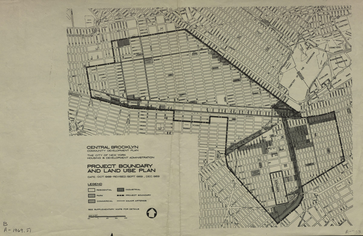
Central Brooklyn community development plan: project boundary and land use plan: the City of New York Housing & Development Administration
Central Brooklyn community development plan: project boundary and land use plan: the City of New York Housing & Development Administration
1969
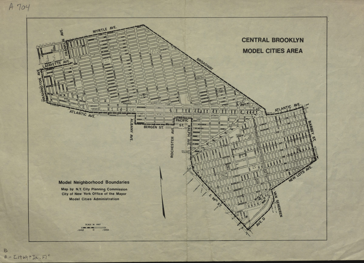
Central Brooklyn model cities area: model neighborhood boundaries: map by N.Y. City Planning Commission, City of New York Office of the Mayor Model Cities Administration
Central Brooklyn model cities area: model neighborhood boundaries: map by N.Y. City Planning Commission, City of New York Office of the Mayor Model Cities Administration
1969