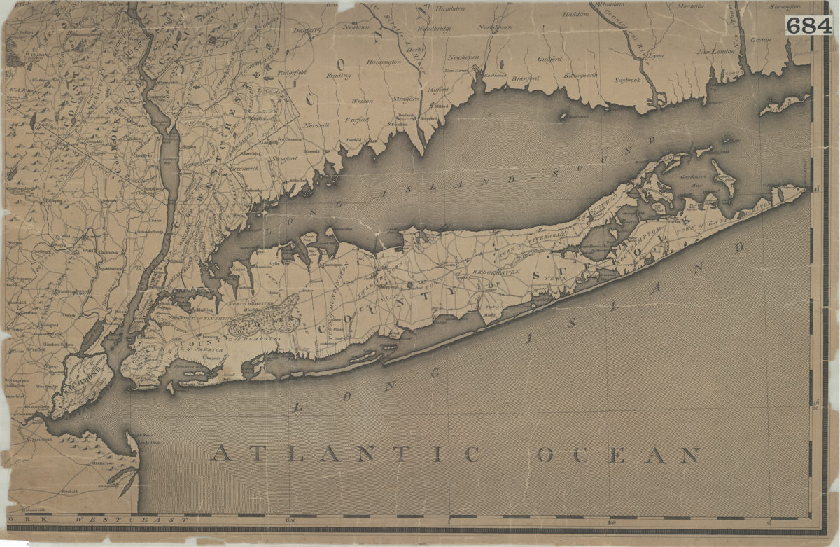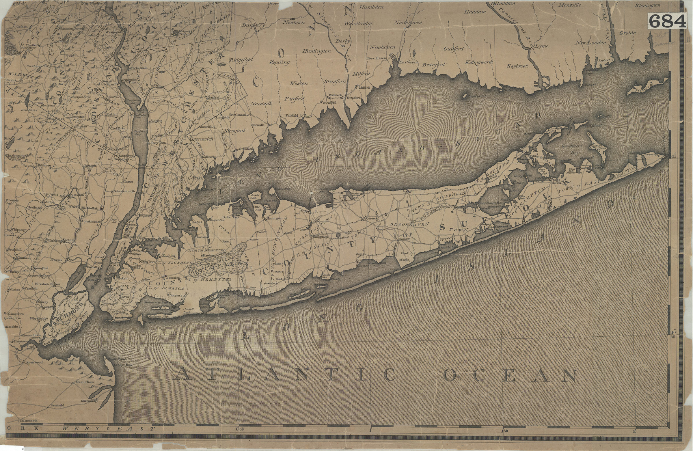
[Map of Long Island, the New York Metropolitan Area, and the southern coast of Connecticut] [18??]
Map No. L.I.-[18--?]b.Fl
Covers area north from Monmouth to New Windsor and east to Fishers Island. Shows iron works and mills. Relief shown pictorially. Titled devised by cataloger. Extracted from an unknown map.
Map area shown
Genre
MapRelation
Full catalog recordSize
44 × 69 cmDownload
Low Resolution Image
Creator
Publisher
Brooklyn Historical SocietyCitation
[Map of Long Island, the New York Metropolitan Area, and the southern coast of Connecticut]; [18??], Map Collection, L.I.-[18--?]b.Fl; Brooklyn Historical Society.Scale
Scale not givenLoading zoom image...