Center for Brooklyn History
Map Collections
Search
About
Othmer Library & Archives
Submit search query
Refine 3 records
Clear filters
3
Location
Erie Canal (N.Y.)
3
Genesee River (Pa. and N.Y.)
1
New York (State)
95
Subject
Canals
15
Railroads
72
Date
19th Century
945
or enter range:
from
to
Genres
Map
191
Topographic maps
70
Transportation maps
120
Sort by:
Date (earliest)
Date (most recent)
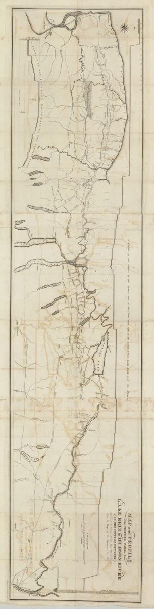
Map and profile of the proposed canal from Lake Erie to Hudson River in the State of New York: contracted by direction of the Canal Commissioners from the maps of the engineers in 1817
Map and profile of the proposed canal from Lake Erie to Hudson River in the State of New York: contracted by direction of the Canal Commissioners from the maps of the engineers in 1817
[1817]
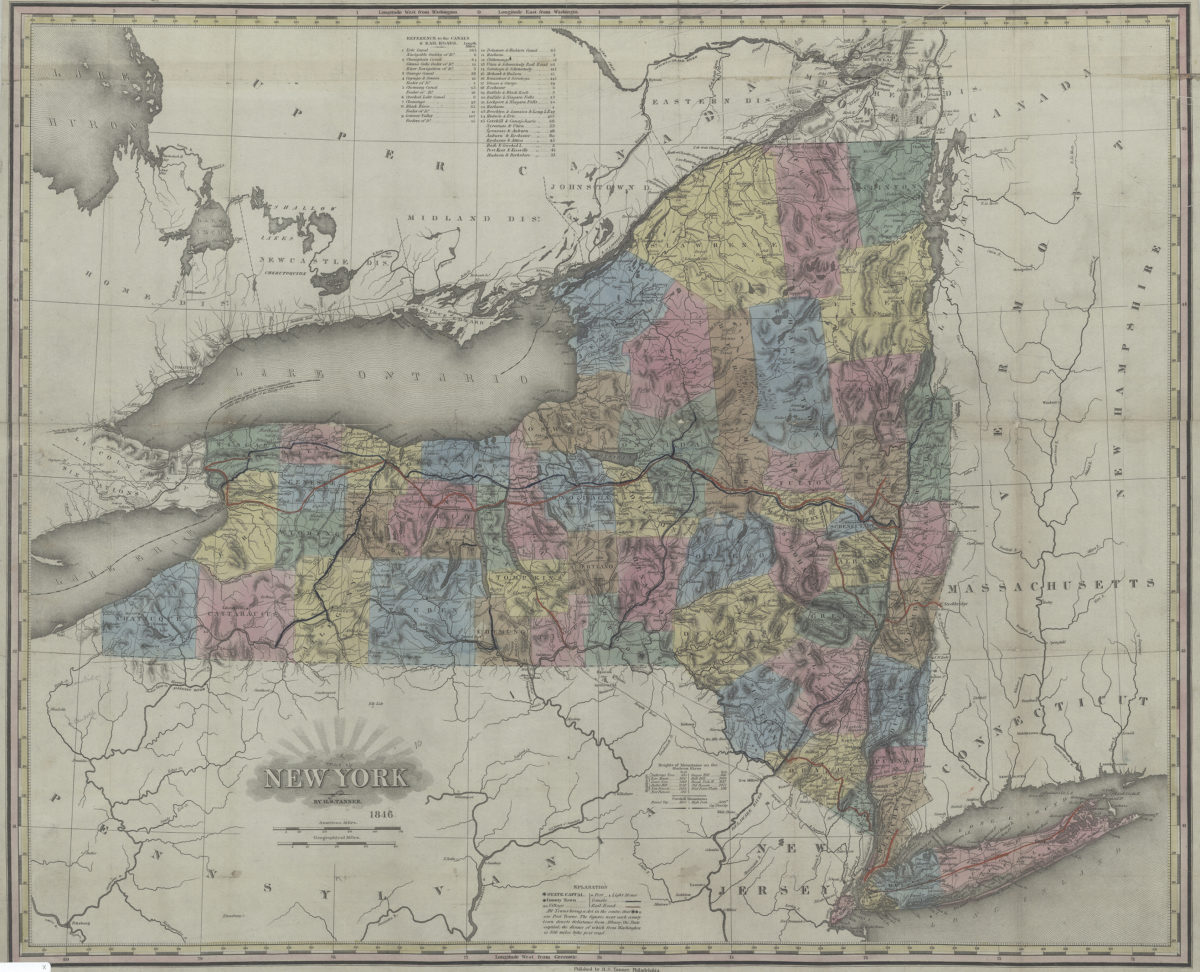
New York: by H.S. Tanner
New York: by H.S. Tanner
1846
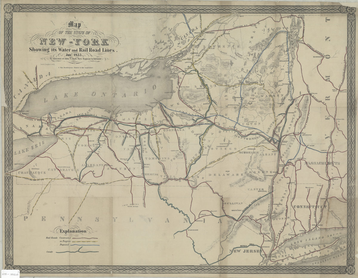
Map of the state of New York showing its water and rail road lines: by direction of John T. Clark, state engineer & surveyor
Map of the state of New York showing its water and rail road lines: by direction of John T. Clark, state engineer & surveyor
1855