Center for Brooklyn History
Map Collections
Search
About
Othmer Library & Archives
Submit search query
Refine 5 records
Clear filters
3
Location
New England
8
New York (State)
95
Pennsylvania
4
Subject
Canals
15
Railroads
72
Date
19th Century
945
or enter range:
from
to
Genres
Road maps
83
Statistical maps
8
Topographic maps
70
Transportation maps
120
Sort by:
Date (earliest)
Date (most recent)
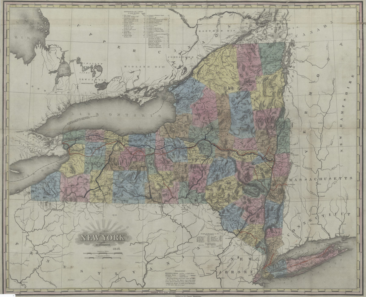
New York: by H.S. Tanner
New York: by H.S. Tanner
1846
Railroad map of New England & eastern New York compiled from the most authentic sources: by J.H. Goldthwait
Railroad map of New England & eastern New York compiled from the most authentic sources: by J.H. Goldthwait
1849
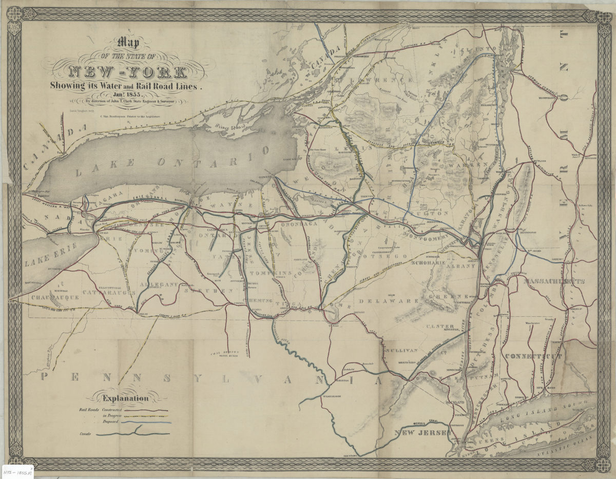
Map of the state of New York showing its water and rail road lines: by direction of John T. Clark, state engineer & surveyor
Map of the state of New York showing its water and rail road lines: by direction of John T. Clark, state engineer & surveyor
1855
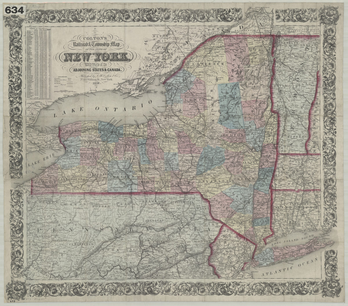
Colton’s railroad & township map of the state of New York: with parts of the adjoining states & Canada: drawn by Geo. W. Colton
Colton’s railroad & township map of the state of New York: with parts of the adjoining states & Canada: drawn by Geo. W. Colton
1856; [ca. 1852]
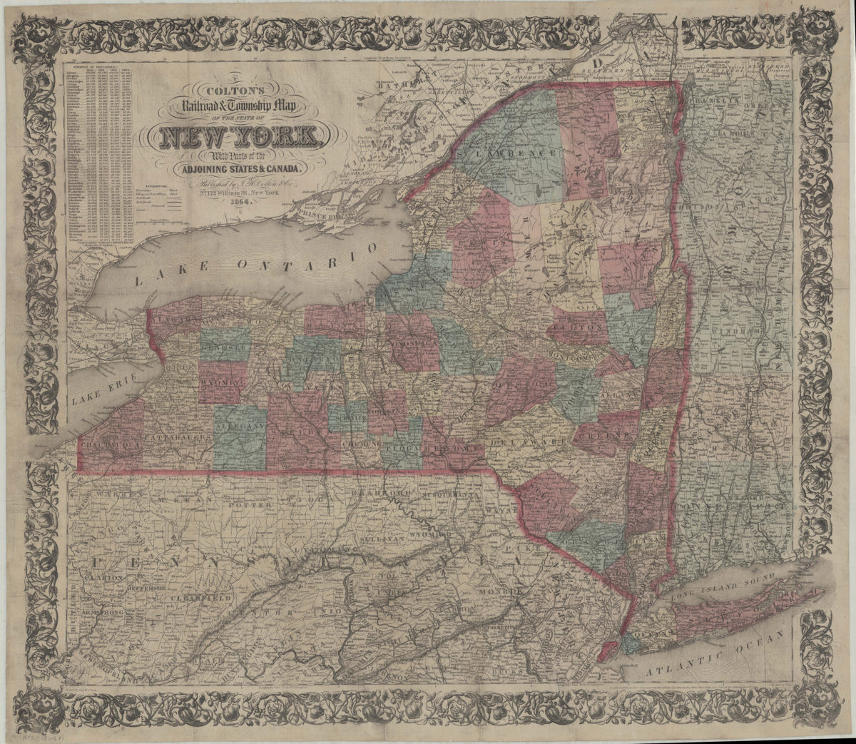
Colton’s railroad & township map of the state of New York: with parts of the adjoining states & Canada: drawn by Geo. W. Colton
Colton’s railroad & township map of the state of New York: with parts of the adjoining states & Canada: drawn by Geo. W. Colton
1864; [ca. 1852]