Center for Brooklyn History
Map Collections
Search
About
Othmer Library & Archives
Submit search query
Refine 3 records
Clear filters
3
Location
Brooklyn (New York, N.Y.)
891
Connecticut
7
Long Island (N.Y.)
197
New Jersey
27
New York (N.Y.)
164
New York Metropolitan Area
40
Pennsylvania
4
Queens (New York, N.Y.)
83
Subject
Aeronautical charts
1
Roads
117
Streets
46
Date
20th Century
469
or enter range:
from
to
Genres
Map
191
Sort by:
Date (earliest)
Date (most recent)
Shell street guide and metropolitan map of Brooklyn, Queens and Long Island: the H.M. Gousha Company
Shell street guide and metropolitan map of Brooklyn, Queens and Long Island: the H.M. Gousha Company
[1939]
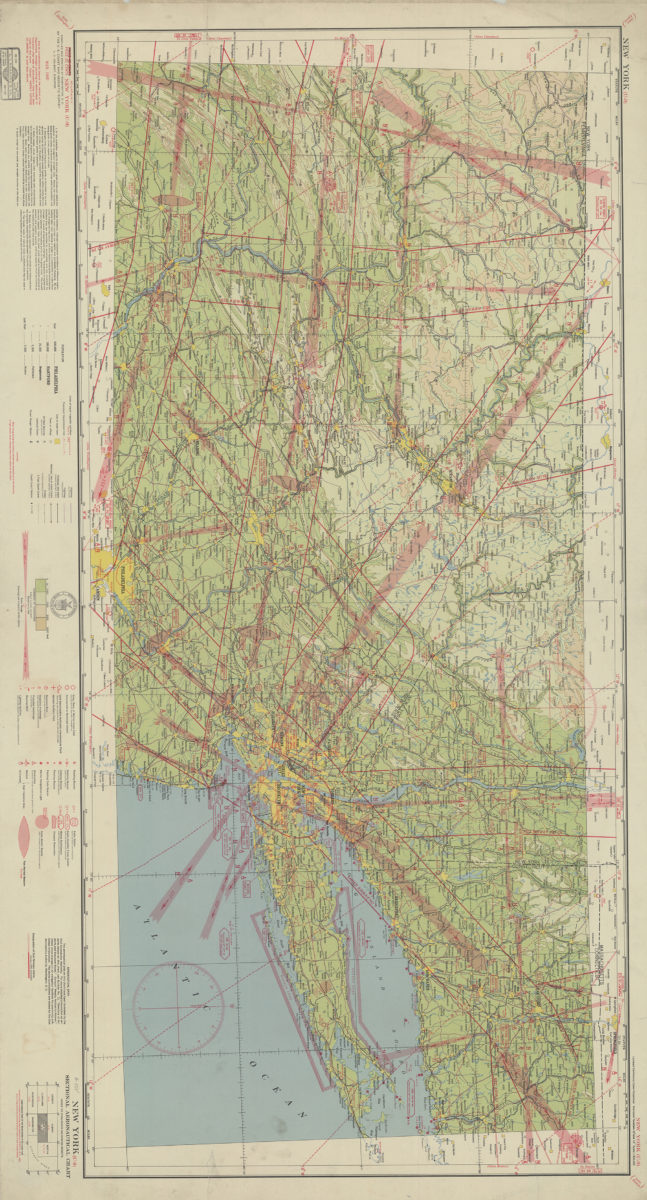
New York (U-9) sectional aeronautical chart: compiled and printed at Washington D.C. by the U.S. Coast and Geodetic Survey
New York (U-9) sectional aeronautical chart: compiled and printed at Washington D.C. by the U.S. Coast and Geodetic Survey
1940
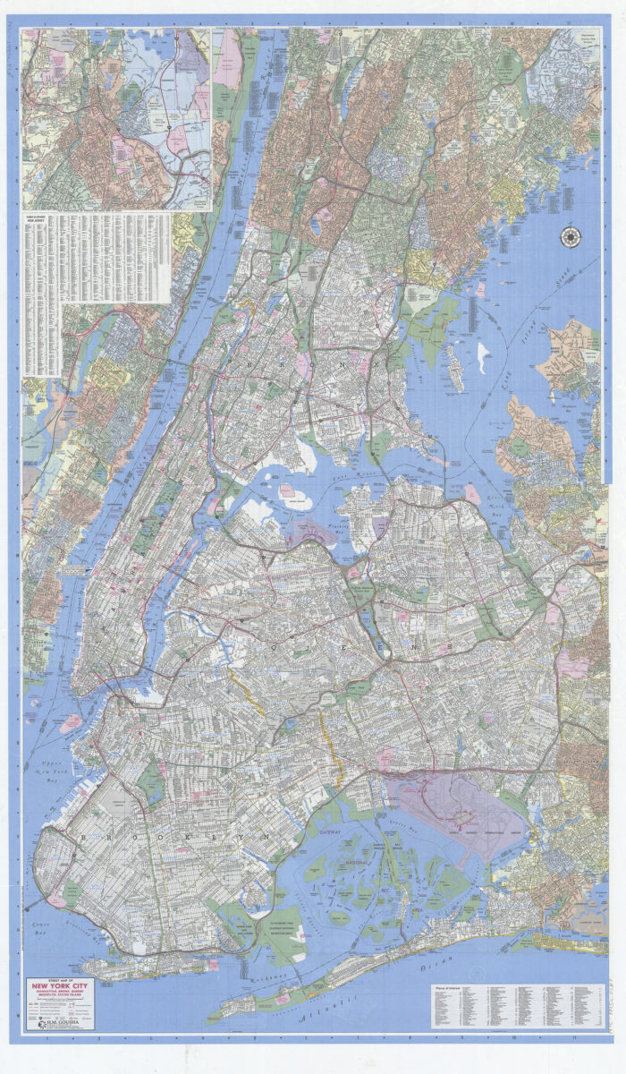
Gousha New York City citymap: including Bogota, Englewood, Fairview, Floral Park, Fort Lee … and adjoining communities, plus index to selective places of interest: H.M. Gousha
Gousha New York City citymap: including Bogota, Englewood, Fairview, Floral Park, Fort Lee … and adjoining communities, plus index to selective places of interest: H.M. Gousha
[1995; ca. 1991]