Center for Brooklyn History
Map Collections
Search
About
Othmer Library & Archives
Submit search query
Refine 4 records
Clear filters
3
Location
Bedford-Stuyvesant (New York, N.Y.)
67
Brooklyn (New York, N.Y.)
891
Brownsville (New York, N.Y.)
10
East Flatbush (New York, N.Y.)
23
Flatlands (New York, N.Y.)
19
Gravesend (New York, N.Y.)
25
Kings Highway (New York, N.Y.)
1
Midwood (New York, N.Y.)
9
Sheepshead Bay (New York, N.Y.)
13
Subject
City planning
7
Community development
2
Highway planning
2
Land use
5
Public housing
1
Roads
117
Date
20th Century
469
or enter range:
from
to
Genres
Thematic maps
60
Sort by:
Date (earliest)
Date (most recent)
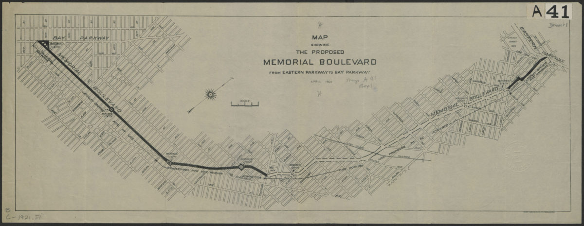
Map showing the proposed Memorial Boulevard from Eastern Parkway to Bay Parkway, April 1921
Map showing the proposed Memorial Boulevard from Eastern Parkway to Bay Parkway, April 1921
[1921]
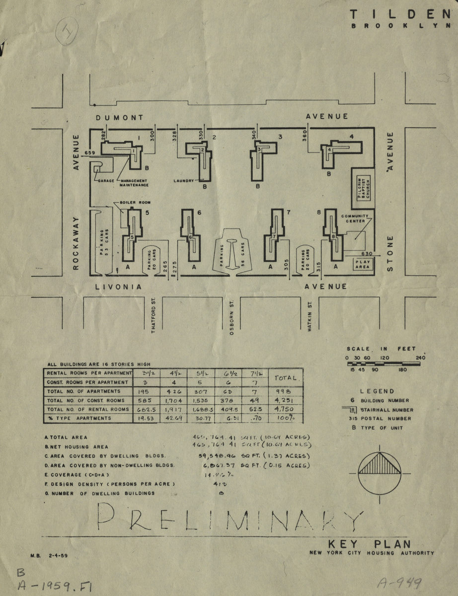
Tilden, Brooklyn: preliminary key plan: New York City Housing Authority
Tilden, Brooklyn: preliminary key plan: New York City Housing Authority
[1959]
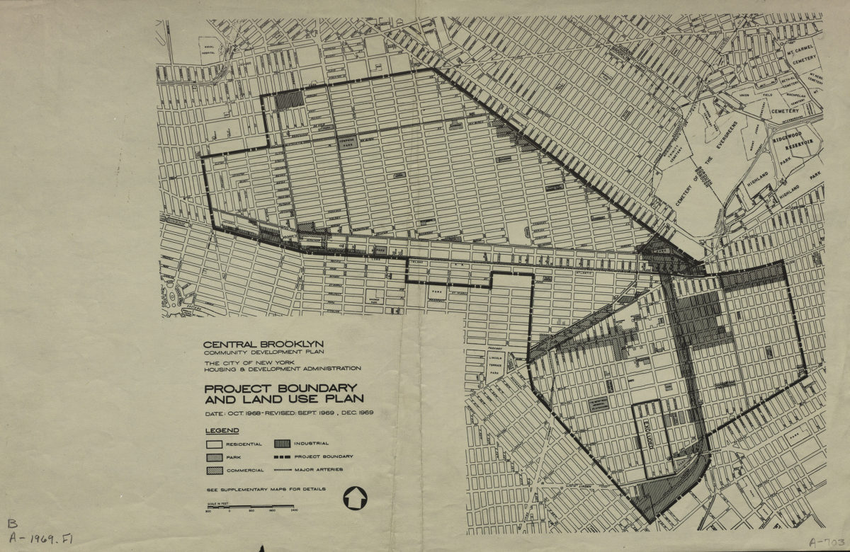
Central Brooklyn community development plan: project boundary and land use plan: the City of New York Housing & Development Administration
Central Brooklyn community development plan: project boundary and land use plan: the City of New York Housing & Development Administration
1969
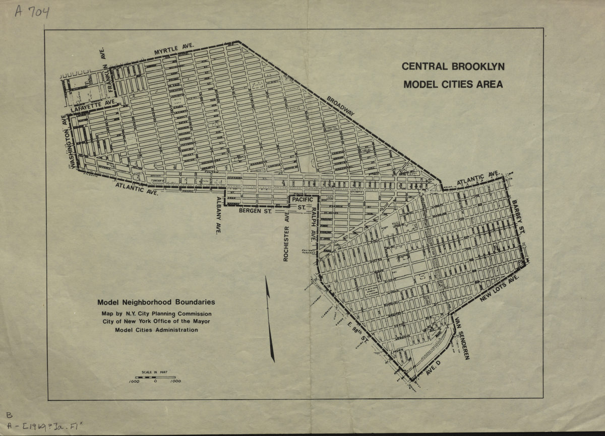
Central Brooklyn model cities area: model neighborhood boundaries: map by N.Y. City Planning Commission, City of New York Office of the Mayor Model Cities Administration
Central Brooklyn model cities area: model neighborhood boundaries: map by N.Y. City Planning Commission, City of New York Office of the Mayor Model Cities Administration
1969