Center for Brooklyn History
Map Collections
Search
About
Othmer Library & Archives
Submit search query
Refine 3 records
Clear filters
2
Location
Brooklyn (New York, N.Y.)
891
New York (State)
95
Subject
Bicycle trails
17
Camp sites, facilities, etc
1
Greenbelts
1
Parks
35
Pedestrian areas
1
Recreation
5
Waterfronts
5
Date
20th Century
469
21th Century
66
or enter range:
from
to
Genres
Pictorial maps
38
Tourist maps
55
Sort by:
Date (earliest)
Date (most recent)
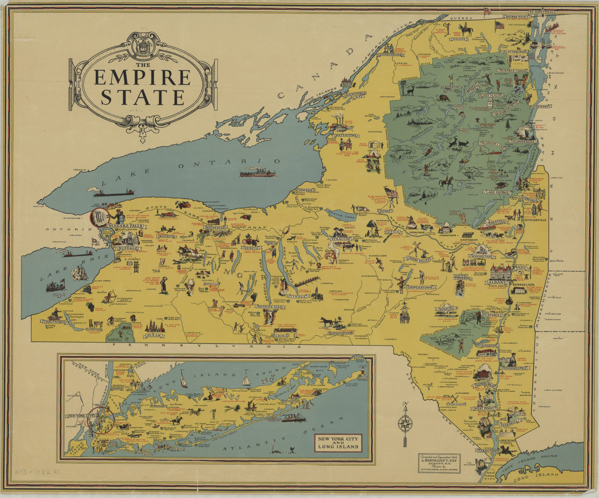
The Empire State: compiled and copyrighted 1932 by Bertrand T. Fay ; drawn by Everard A. McAvoy
The Empire State: compiled and copyrighted 1932 by Bertrand T. Fay ; drawn by Everard A. McAvoy
[1932;1932]
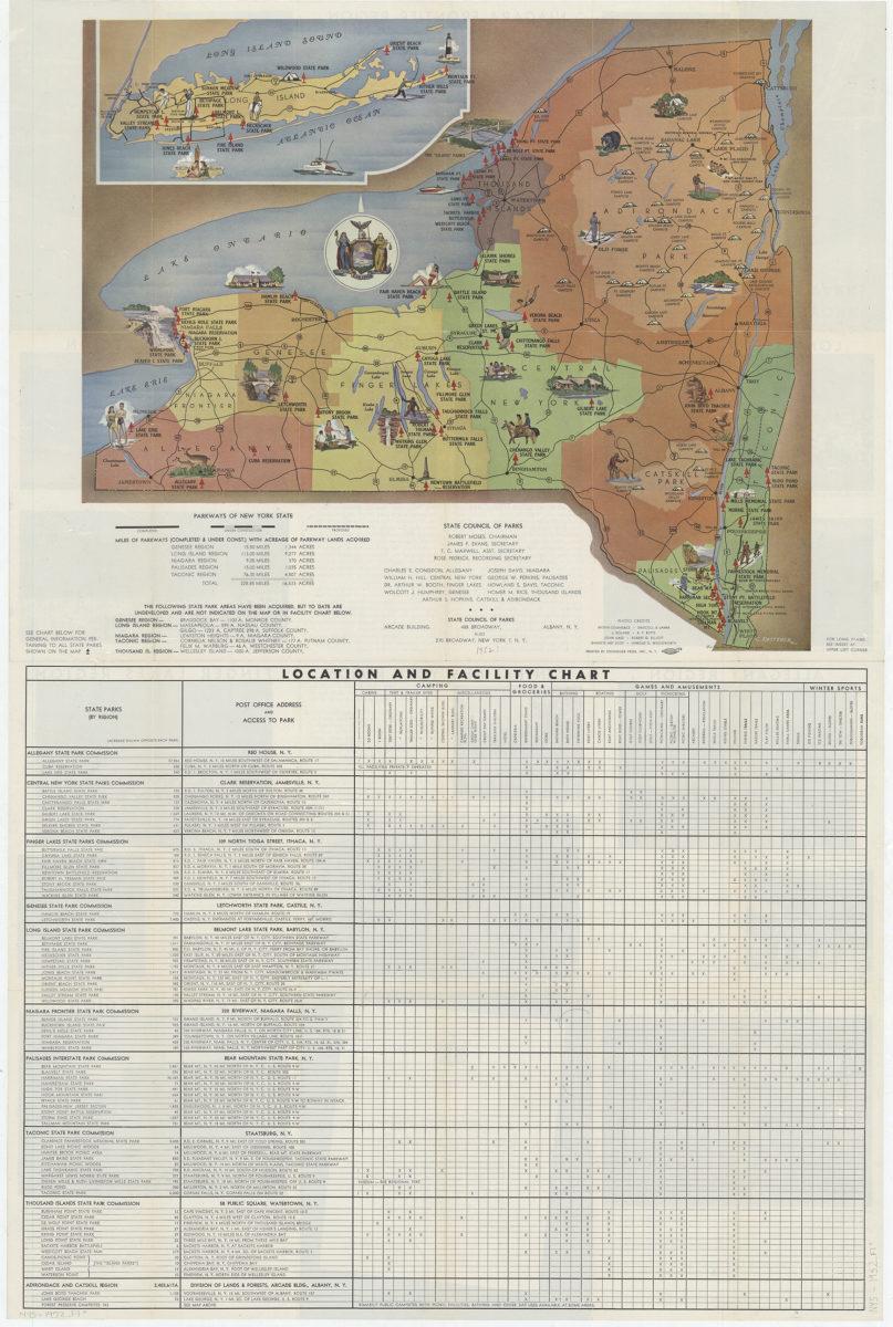
New York state parks: C. Koetzner
New York state parks: C. Koetzner
[195?]
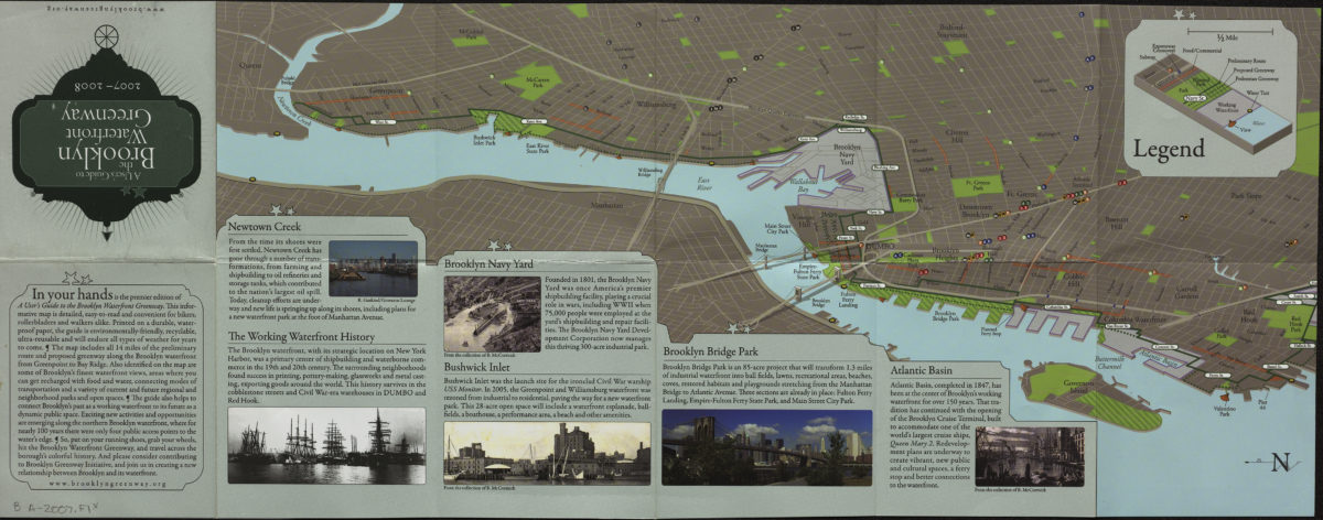
A user’s guide to the Brooklyn waterfront greenway: 2007-2008
A user’s guide to the Brooklyn waterfront greenway: 2007-2008
[2007; 2007]