Center for Brooklyn History
Map Collections
Search
About
Othmer Library & Archives
Submit search query
Refine 6 records
Clear filters
3
Location
Brooklyn (New York, N.Y.)
891
Downtown Brooklyn (New York, N.Y.)
29
East River (N.Y.)
3
ferries
1
Manhattan (New York, N.Y.)
120
New York (N.Y.)
164
Queens (New York, N.Y.)
83
Subject
Bus lines
20
Bus travel
22
Central business districts
10
Exhibitions
5
Ferry routes
3
Historic districts
4
Local transit
63
Railroads, Elevated
24
Roads
117
Subways
55
Date
20th Century
469
21th Century
66
or enter range:
from
to
Genres
Aerial views
15
Pictorial maps
38
Thematic maps
60
Tourist maps
55
Transportation maps
120
Sort by:
Date (earliest)
Date (most recent)
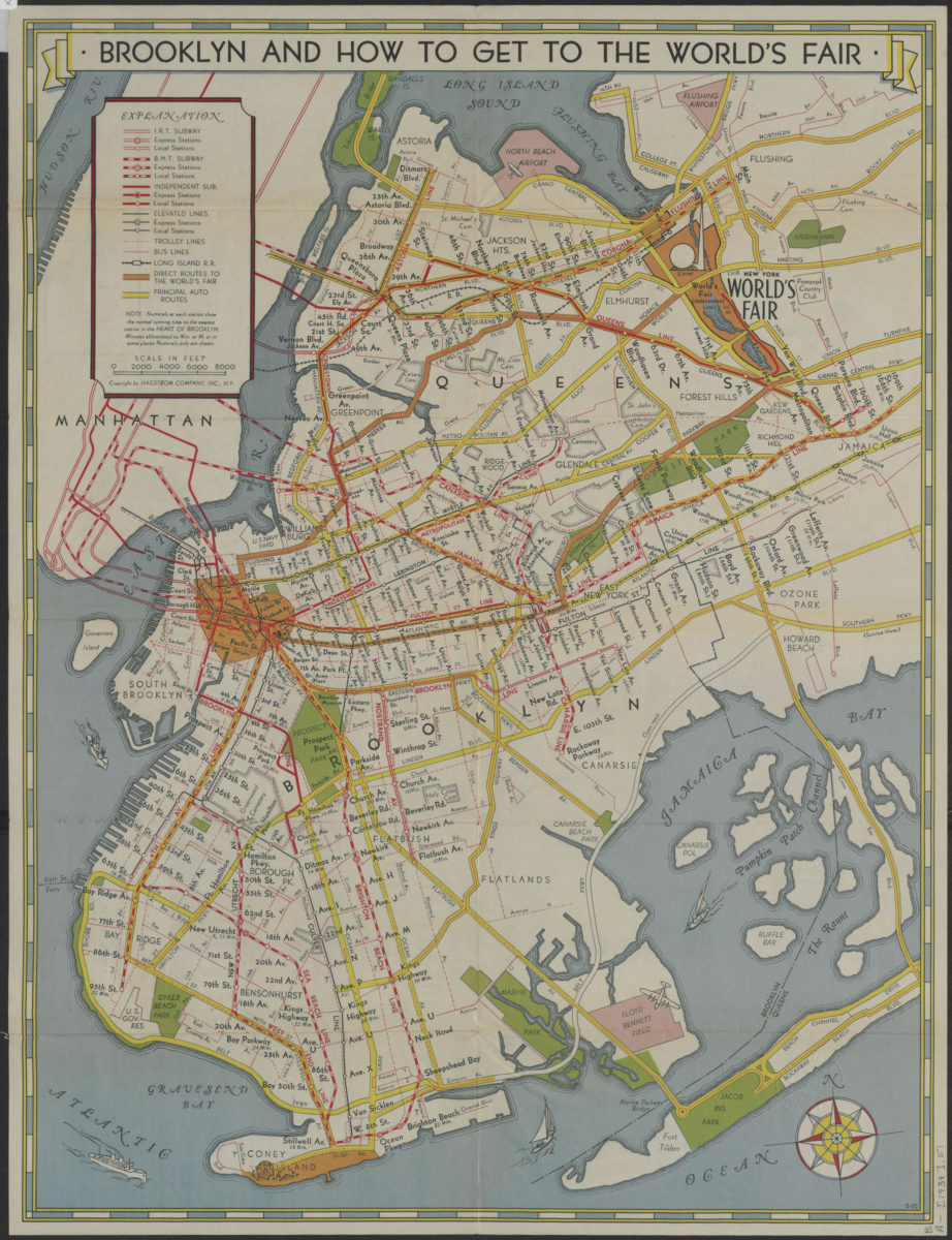
How to get to the New York World’s Fair, and The heart of Brooklyn: issued by the Downtown Brooklyn Association, Inc
How to get to the New York World’s Fair, and The heart of Brooklyn: issued by the Downtown Brooklyn Association, Inc
[1939]
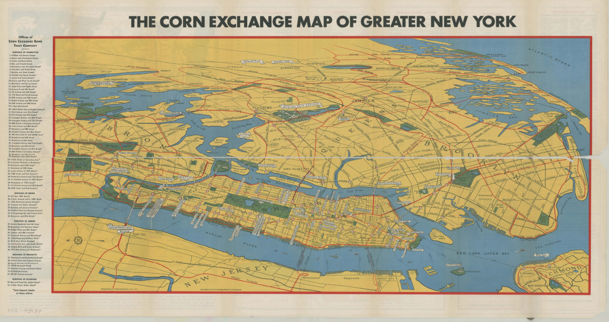
Map of greater New York: New York World’s Fair, 1939: prepared by C.S. Hammond & Co., inc ; copyright by Corn Exchange Bank Trust Company
Map of greater New York: New York World’s Fair, 1939: prepared by C.S. Hammond & Co., inc ; copyright by Corn Exchange Bank Trust Company
[1939]
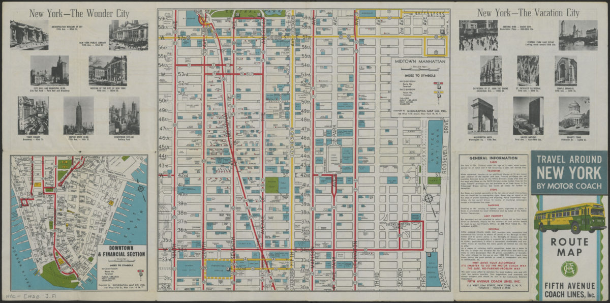
Travel around New York by motorcoach: route map, Fifth Avenue Coach Lines, Inc
Travel around New York by motorcoach: route map, Fifth Avenue Coach Lines, Inc
[1956-1962]
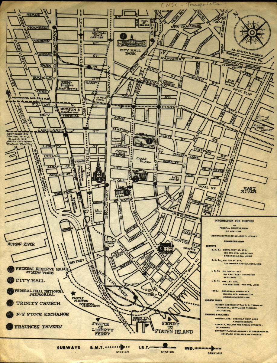
Information for visitors to Federal Reserve Bank of New York
Information for visitors to Federal Reserve Bank of New York
[1956-1966]
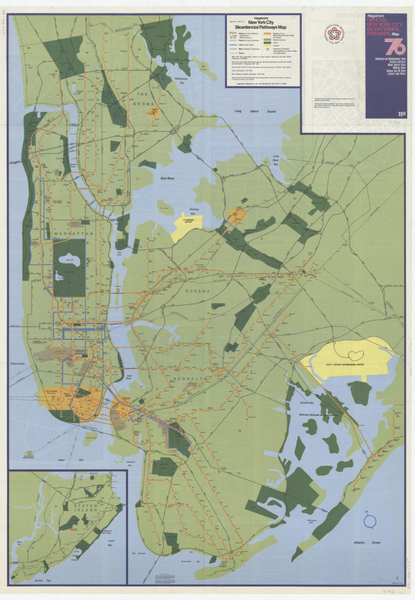
Hagstrom New York City Bicentennial pathways map
Hagstrom New York City Bicentennial pathways map
[1975]
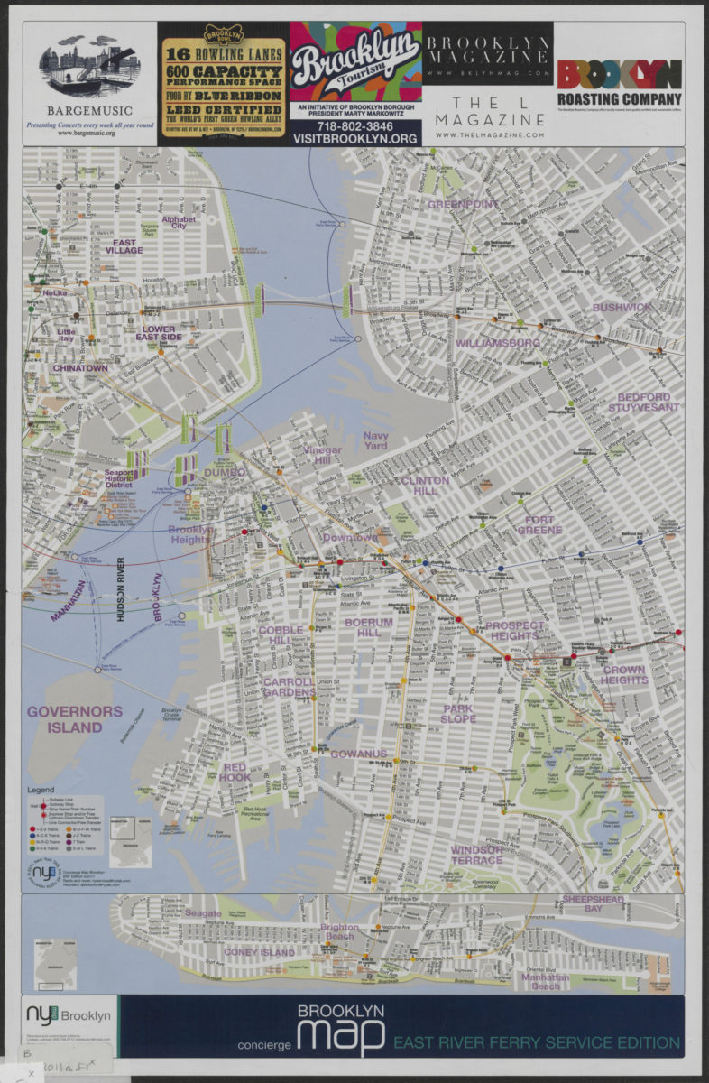
Concierge Brooklyn map: East River Ferry service edition
Concierge Brooklyn map: East River Ferry service edition
[2011; 2011]