Center for Brooklyn History
Map Collections
Search
About
Othmer Library & Archives
Submit search query
Refine 3 records
Clear filters
2
Location
Bay Ridge (New York, N.Y.)
108
Brooklyn (New York, N.Y.)
891
Subject
Real property
619
Sewerage
7
Date
19th Century
945
20th Century
469
or enter range:
from
to
Genres
Manuscript maps
365
Public utility maps
15
Sort by:
Date (earliest)
Date (most recent)
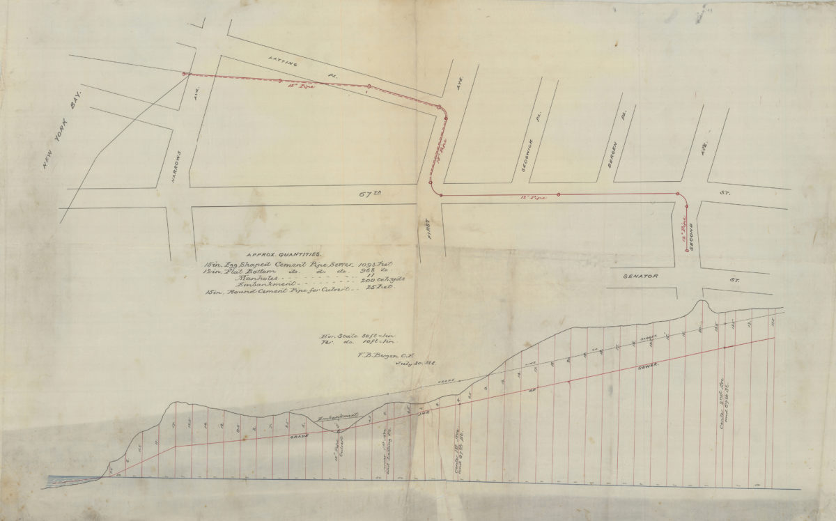
[Map of area north from Senator St. to Latting Pl. and east from New York Bay to 2nd Ave.]: V.B. Bergen, C.E.
[Map of area north from Senator St. to Latting Pl. and east from New York Bay to 2nd Ave.]: V.B. Bergen, C.E.
July 30, 1888
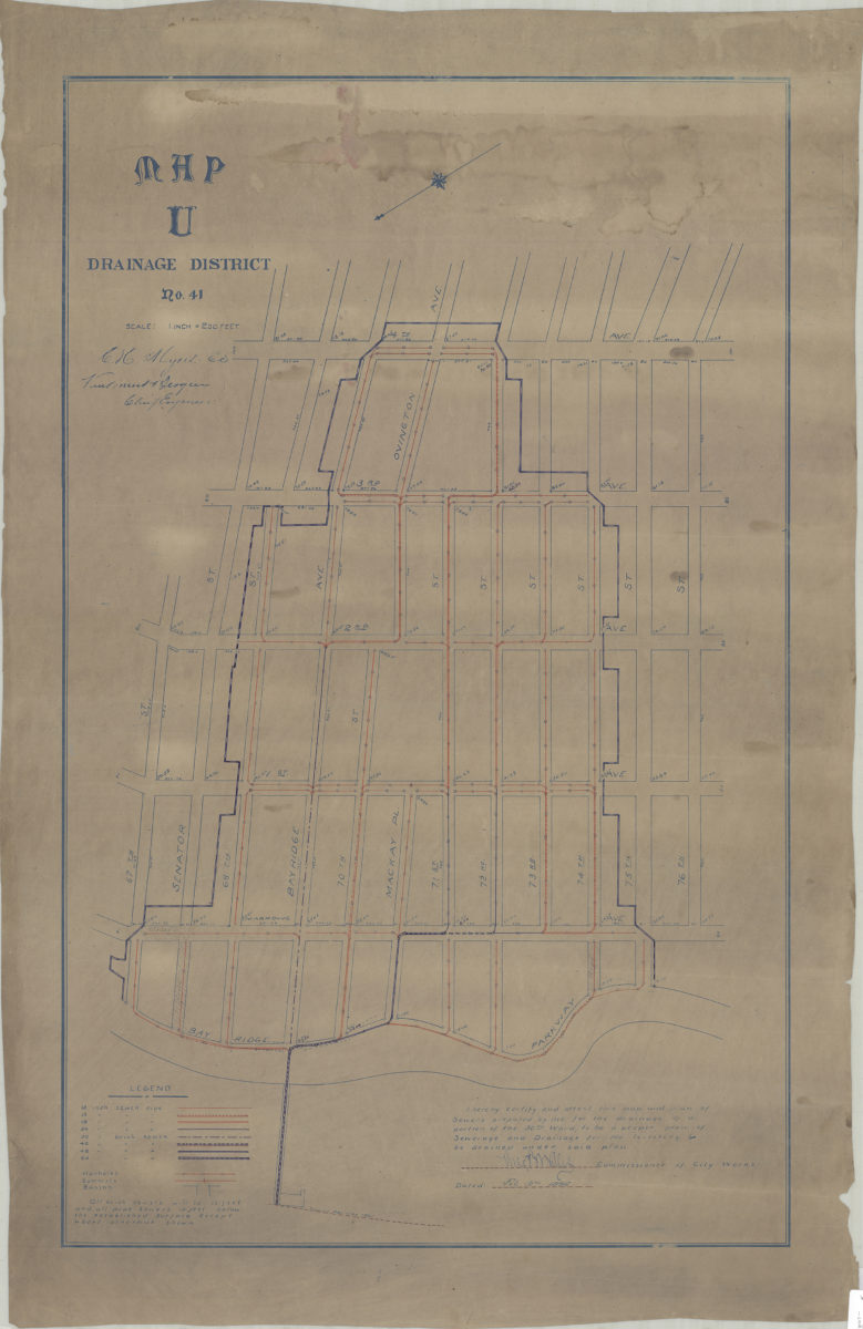
Map U, Drainage District No. 41: [by] C.H. Myers, E.S. [and] Van Brunt Bergen, chief engineer
Map U, Drainage District No. 41: [by] C.H. Myers, E.S. [and] Van Brunt Bergen, chief engineer
[1896]
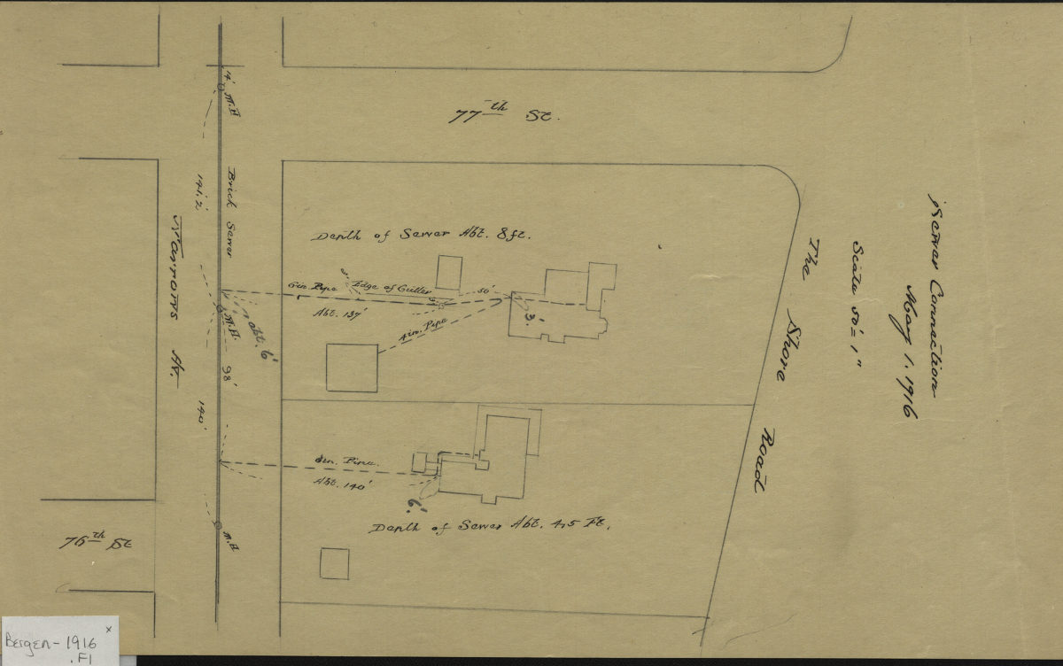
Sewer connection, May 1, 1916
Sewer connection, May 1, 1916
1916