Center for Brooklyn History
Map Collections
Search
About
Othmer Library & Archives
Submit search query
Refine 4 records
Clear filter
1
Location
Connecticut
7
New Jersey
27
New York (State)
95
New York Metropolitan Area
40
Pennsylvania
4
Subject
Aeronautical charts
1
Indians of North America
6
Landowners
434
Railroads
72
Roads
117
Date
18th Century
12
19th Century
945
20th Century
469
or enter range:
from
to
Genres
Early maps
35
Map
191
Road maps
83
Statistical maps
8
Transportation maps
120
Sort by:
Date (earliest)
Date (most recent)
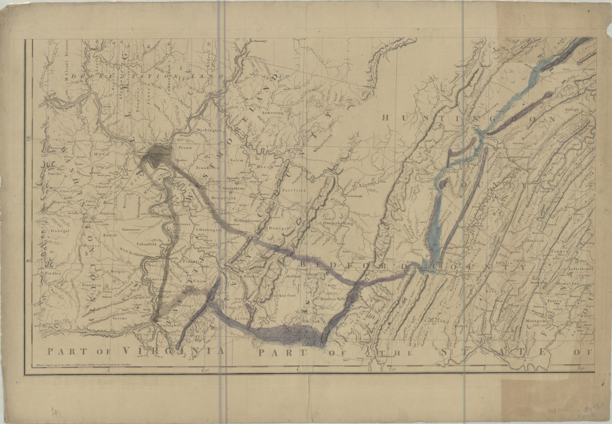
A map of the state of Pennsylvania: by Reading Howell
A map of the state of Pennsylvania: by Reading Howell
August 1, 1792
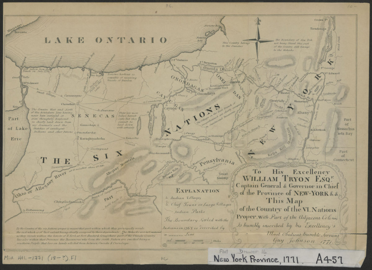
To his excellency William Tryon Esqr., captain general & governor in chief of the province of New-York & &: this map of the country of the VI. nations proper, with part of the adjacent colonies is humbly inscribed:
To his excellency William Tryon Esqr., captain general & governor in chief of the province of New-York & &: this map of the country of the VI. nations proper, with part of the adjacent colonies is humbly inscribed:
[1851]
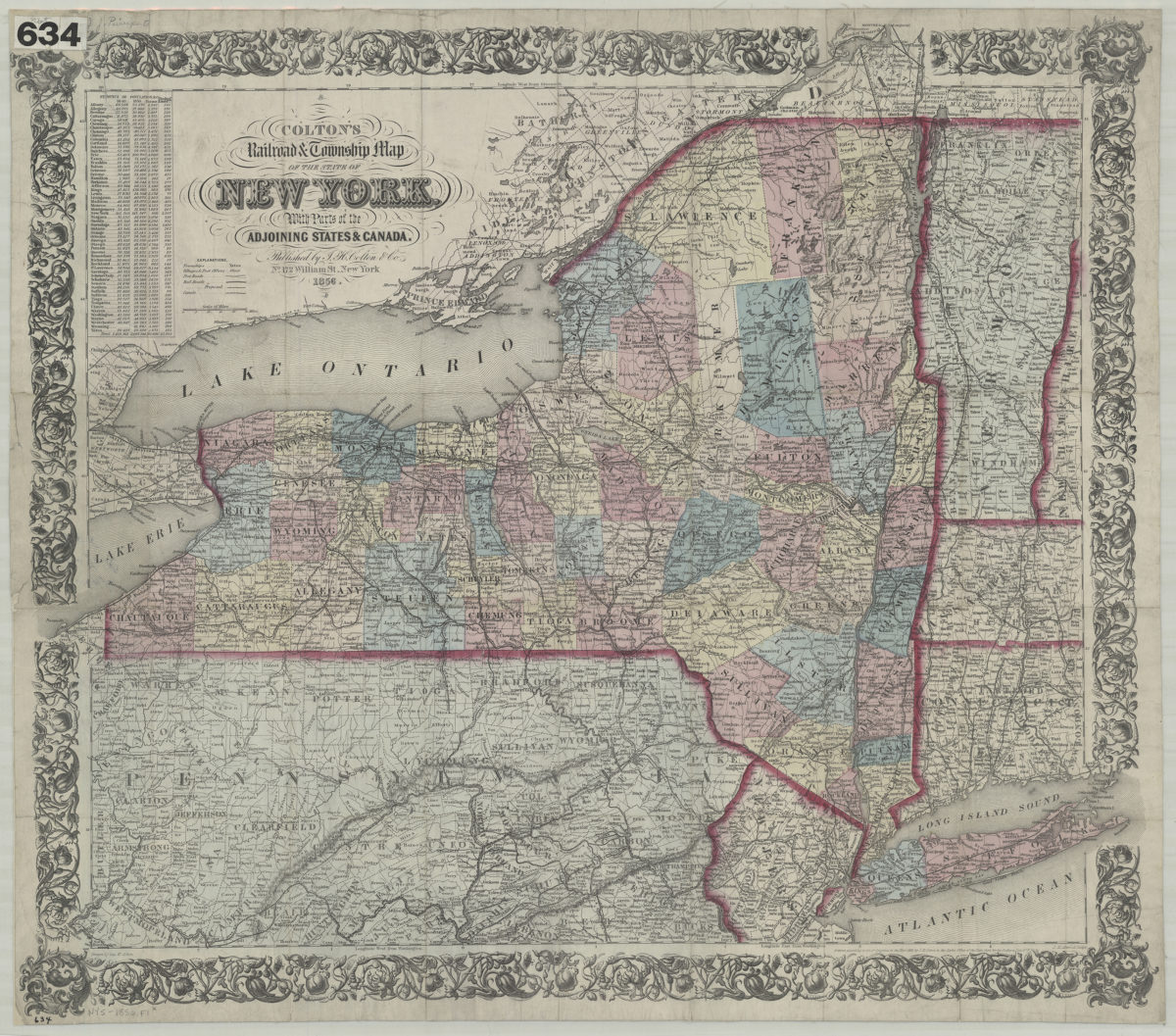
Colton’s railroad & township map of the state of New York: with parts of the adjoining states & Canada: drawn by Geo. W. Colton
Colton’s railroad & township map of the state of New York: with parts of the adjoining states & Canada: drawn by Geo. W. Colton
1856; [ca. 1852]
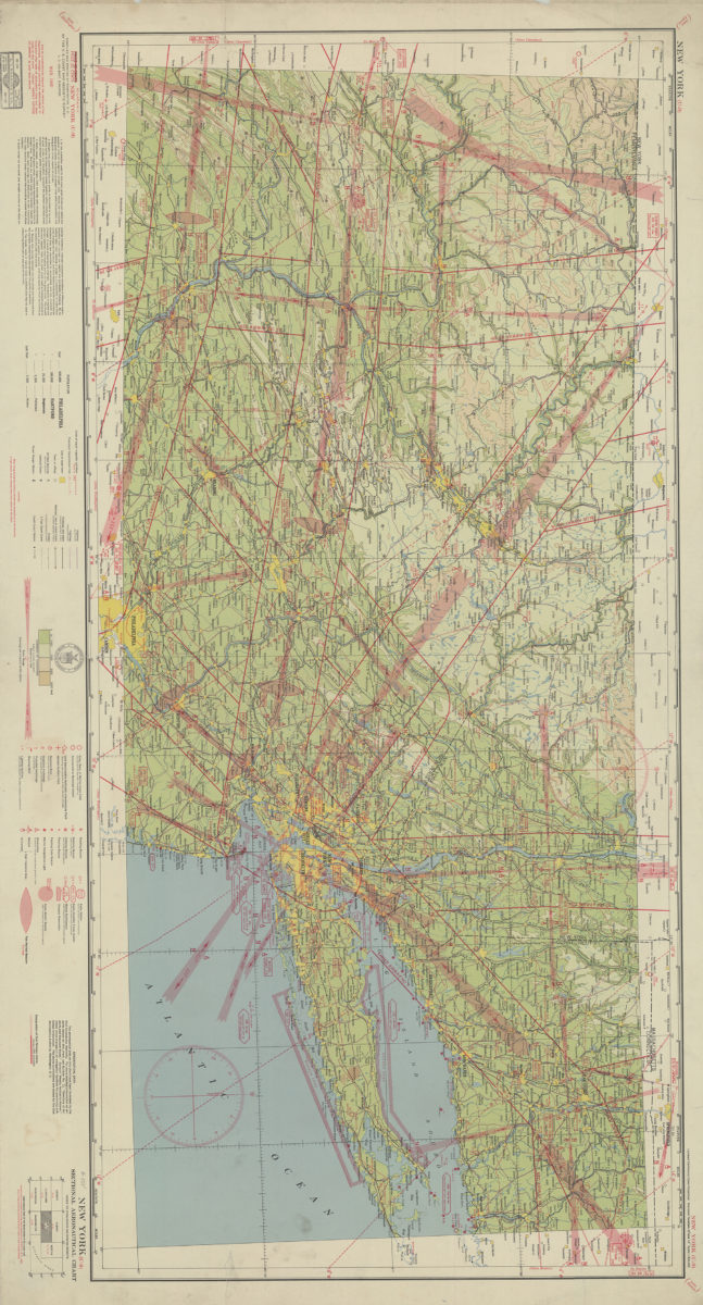
New York (U-9) sectional aeronautical chart: compiled and printed at Washington D.C. by the U.S. Coast and Geodetic Survey
New York (U-9) sectional aeronautical chart: compiled and printed at Washington D.C. by the U.S. Coast and Geodetic Survey
1940