Center for Brooklyn History
Map Collections
Search
About
Othmer Library & Archives
Submit search query
Refine 4 records
Clear filters
2
Location
Brooklyn (New York, N.Y.)
891
Jersey City (N.J.)
4
Long Island (N.Y.)
197
Manhattan (New York, N.Y.)
120
New York (N.Y.)
164
New York (State)
95
New York Metropolitan Area
40
Queens (New York, N.Y.)
83
Saint Albans (New York, N.Y.)
1
Subject
Buildings
12
Canals
15
Fills (Earthwork)
4
Local transit
63
Piers
25
Railroads
72
Rivers
16
Roads
117
Streets
46
Wetlands
6
Date
19th Century
945
20th Century
469
or enter range:
from
to
Genres
Map
191
Road maps
83
Topographic maps
70
Sort by:
Date (earliest)
Date (most recent)
City & County map of New-York, Brooklyn, Williamsburgh, Jersey City and the adjacent waters: by J.H. Colton
City & County map of New-York, Brooklyn, Williamsburgh, Jersey City and the adjacent waters: by J.H. Colton
1852; [ca. 1845]
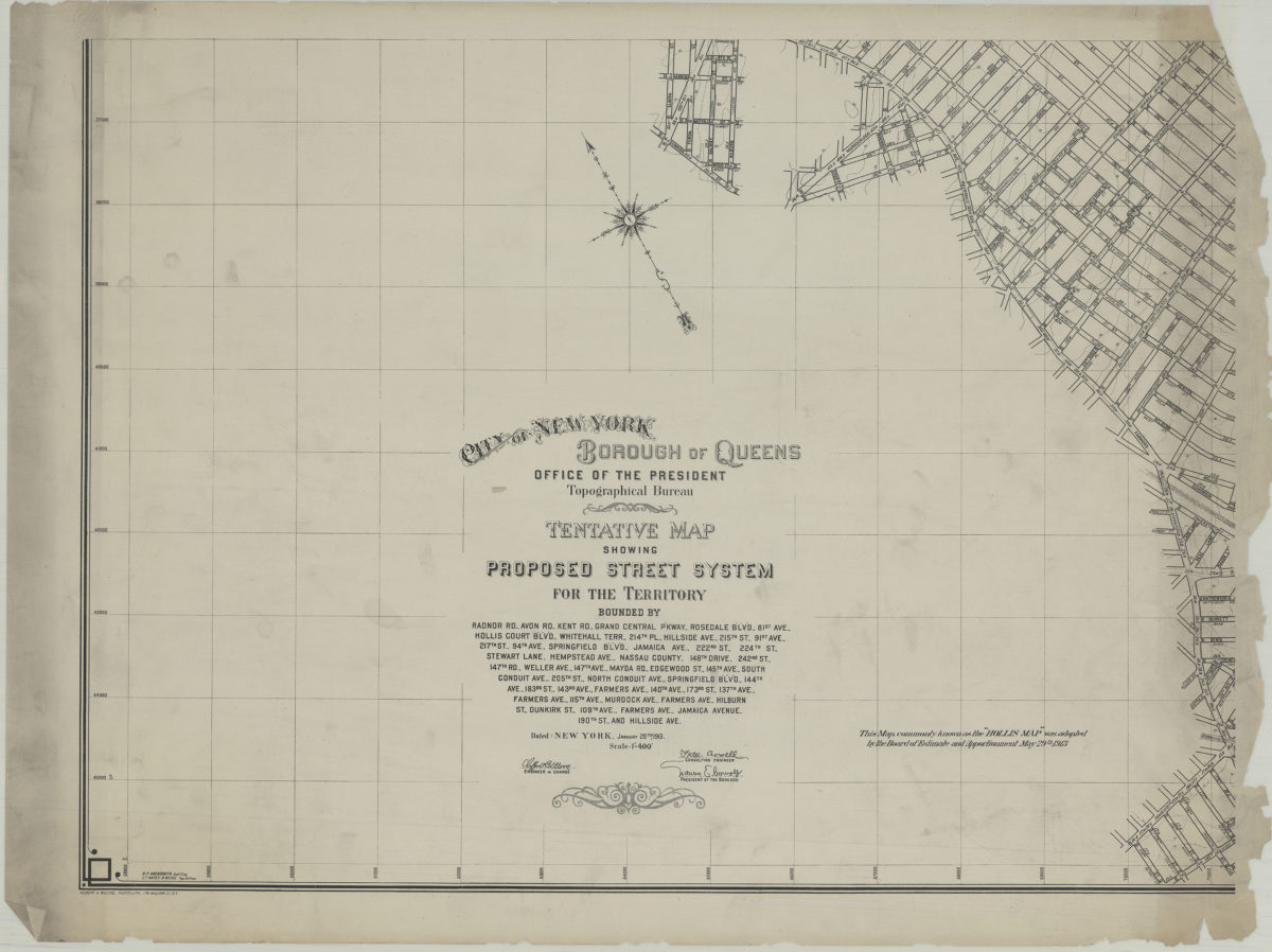
Tentative map showing proposed street system for the territory bounded by Radnor Rd., Avon Rd., Kent Rd. … Jamaica Avenue, 190th St. and Hillside Ave.: City of New York, Borough of Queens, Office of the President, Topographical Bureau
Tentative map showing proposed street system for the territory bounded by Radnor Rd., Avon Rd., Kent Rd. … Jamaica Avenue, 190th St. and Hillside Ave.: City of New York, Borough of Queens, Office of the President, Topographical Bureau
1913
Shell street guide and metropolitan map of Brooklyn, Queens and Long Island: the H.M. Gousha Company
Shell street guide and metropolitan map of Brooklyn, Queens and Long Island: the H.M. Gousha Company
[1939]
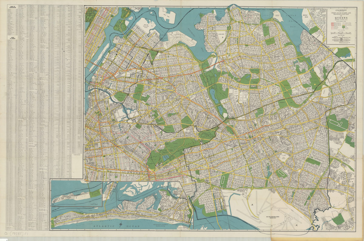
Colorprint street, house number and transportation map of Queens: (Queens County, N.Y.): American Map Company
Colorprint street, house number and transportation map of Queens: (Queens County, N.Y.): American Map Company
[1958]