Center for Brooklyn History
Map Collections
Search
About
Othmer Library & Archives
Submit search query
Refine 3 records
Clear filters
3
Location
Brooklyn (New York, N.Y.)
891
Long Island (N.Y.)
197
New York (State)
95
New York Metropolitan Area
40
Queens (New York, N.Y.)
83
Saint Albans (New York, N.Y.)
1
Subject
Local transit
63
Roads
117
Streets
46
Date
20th Century
469
or enter range:
from
to
Genres
Map
191
Road maps
83
Topographic maps
70
Sort by:
Date (earliest)
Date (most recent)
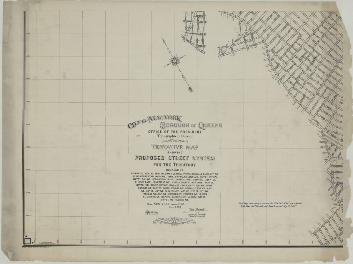
Tentative map showing proposed street system for the territory bounded by Radnor Rd., Avon Rd., Kent Rd. … Jamaica Avenue, 190th St. and Hillside Ave.: City of New York, Borough of Queens, Office of the President, Topographical Bureau
Tentative map showing proposed street system for the territory bounded by Radnor Rd., Avon Rd., Kent Rd. … Jamaica Avenue, 190th St. and Hillside Ave.: City of New York, Borough of Queens, Office of the President, Topographical Bureau
1913
Shell street guide and metropolitan map of Brooklyn, Queens and Long Island: the H.M. Gousha Company
Shell street guide and metropolitan map of Brooklyn, Queens and Long Island: the H.M. Gousha Company
[1939]
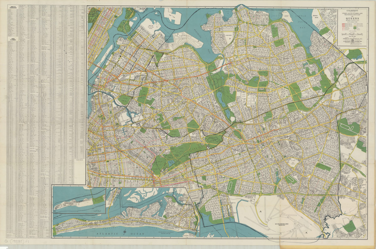
Colorprint street, house number and transportation map of Queens: (Queens County, N.Y.): American Map Company
Colorprint street, house number and transportation map of Queens: (Queens County, N.Y.): American Map Company
[1958]