Center for Brooklyn History
Map Collections
Search
About
Othmer Library & Archives
Submit search query
Refine 4 records
Clear filters
3
Location
Brooklyn (New York, N.Y.)
891
Greenpoint (New York, N.Y.)
38
Sunset Park (New York, N.Y.)
53
Williamsburg (New York, N.Y.)
36
Subject
Landowners
434
Real property
619
Streets
46
Date
19th Century
945
or enter range:
from
to
Genres
Cadastral maps
597
Manuscript maps
365
Sort by:
Date (earliest)
Date (most recent)
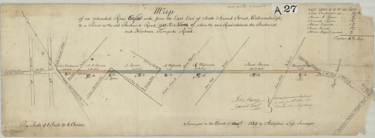
Map of an intended road 60 feet wide, from the east end of South Second Street, Williamsburgh, to a point on the old Bushwick Road, 940 feet north of where the said road interesects the Bushwick and Newtown Turnpike Road: surveyed by Adolphus Lofs
Map of an intended road 60 feet wide, from the east end of South Second Street, Williamsburgh, to a point on the old Bushwick Road, 940 feet north of where the said road interesects the Bushwick and Newtown Turnpike Road: surveyed by Adolphus Lofs
August 1830
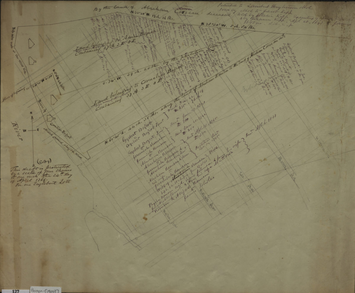
[Maps of properties in areas of Sunset Park and Williamsburg]
[Maps of properties in areas of Sunset Park and Williamsburg]
[ca. 1869]
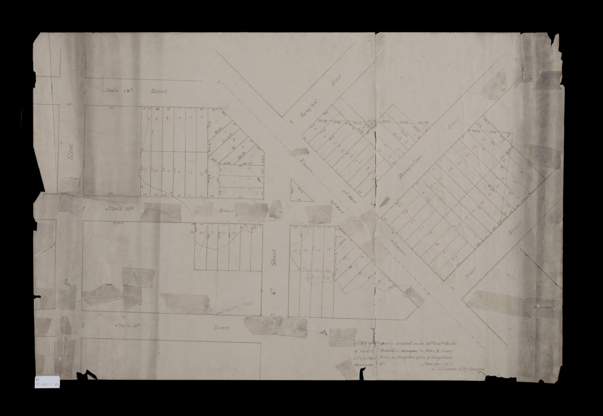
Map of property situated in the 14th & 15th Wards of the city of Brooklyn, belonging to Peter B. Amory: J.V. Meserole, city surveyor
Map of property situated in the 14th & 15th Wards of the city of Brooklyn, belonging to Peter B. Amory: J.V. Meserole, city surveyor
November 1871
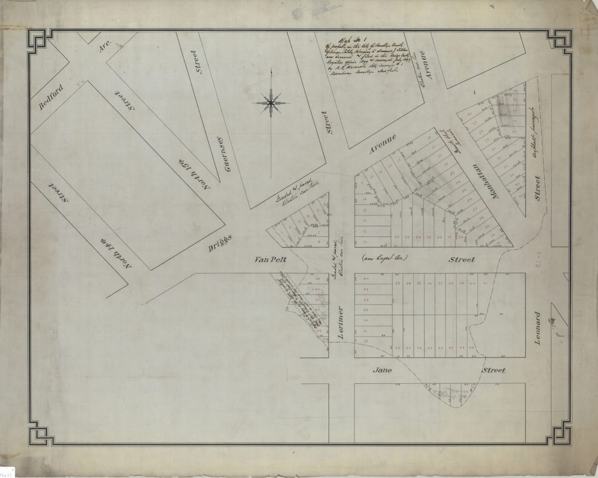
Map no. 1 of property in the city of Brooklyn, county of Kings, lately belonging to Samuel J. Tilden, now deceased, and filed in the Kings County Register’s Office, 1899, and surveyed July 1897: by B.R. Meserole, city surveyor
Map no. 1 of property in the city of Brooklyn, county of Kings, lately belonging to Samuel J. Tilden, now deceased, and filed in the Kings County Register’s Office, 1899, and surveyed July 1897: by B.R. Meserole, city surveyor
July 1897