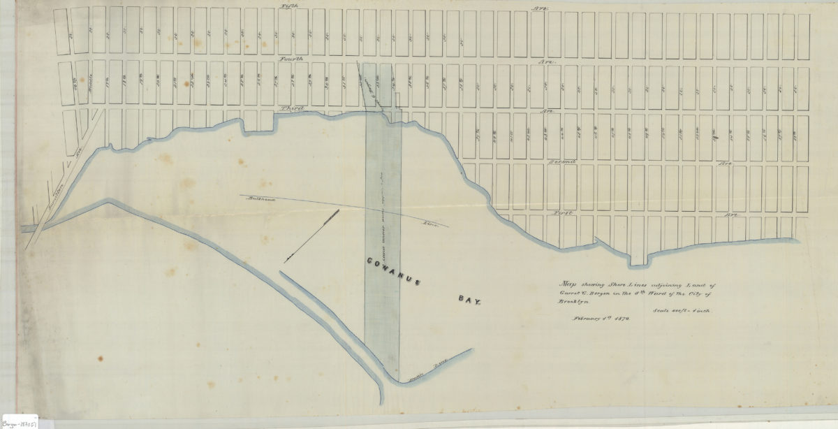
Map showing shore lines adjoining land of Garret G. Bergen in the 8th Ward of the city of Brooklyn
February 1, 1870
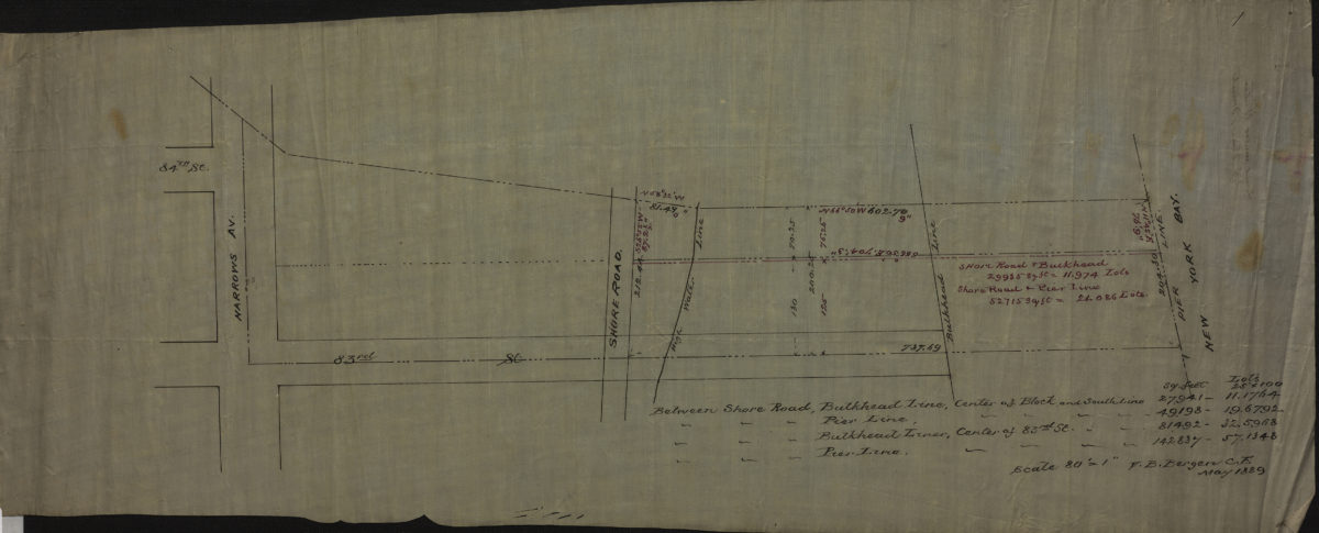
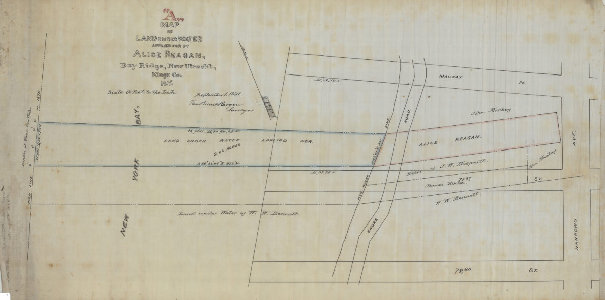
Map “A” of land under water applied for by Alice Reagan, Bay Ridge, New Utrecht, Kings Co., N.Y.: Van Brunt Bergen, surveyor
September 1, 1891