Center for Brooklyn History
Map Collections
Search
About
Othmer Library & Archives
Submit search query
Refine 6 records
Clear filters
2
Location
Brooklyn (New York, N.Y.)
891
Greenpoint (New York, N.Y.)
38
Hempstead (N.Y.)
13
Long Island (N.Y.)
197
Manhattan (New York, N.Y.)
120
Subject
Land tenure
1
Landowners
434
Real property
619
Date
19th Century
945
20th Century
469
or enter range:
from
to
Genres
Map
191
Sort by:
Date (earliest)
Date (most recent)
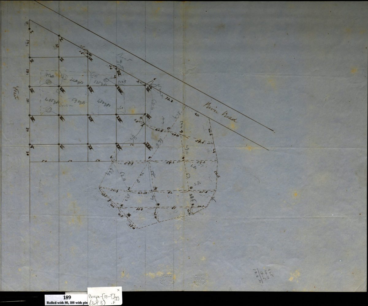
[Grade maps for Richard R. Bennet]
[Grade maps for Richard R. Bennet]
[18??]
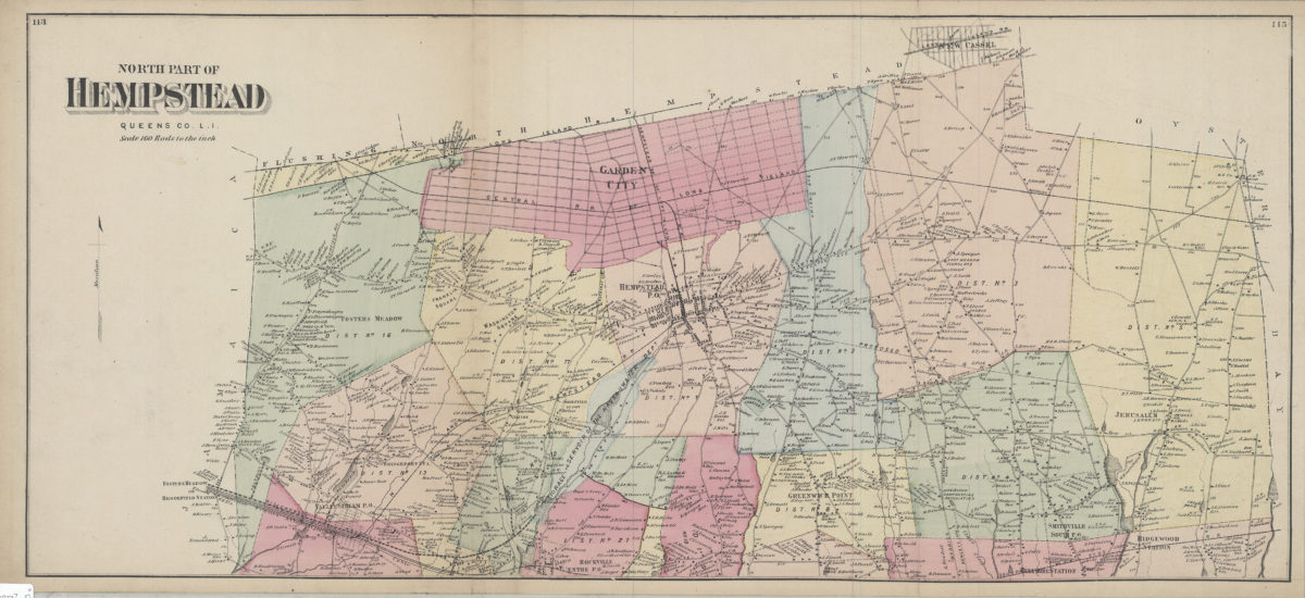
North part of Hempstead, Queens Co., L.I.
North part of Hempstead, Queens Co., L.I.
[1873]
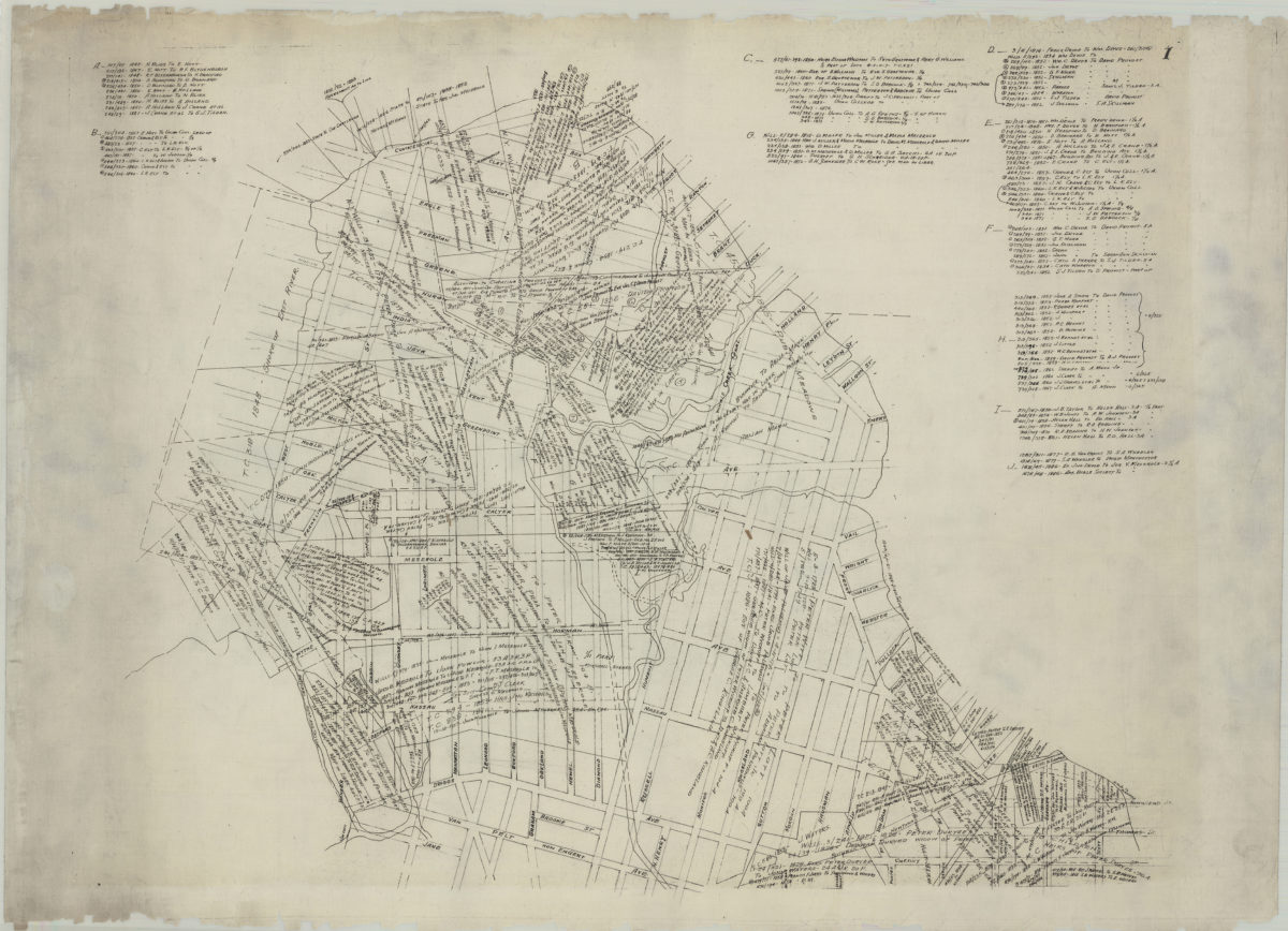
[Map of Greenpoint showing land transfers]
[Map of Greenpoint showing land transfers]
circa 1885
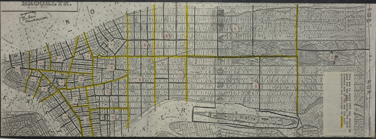
Map of Brooklyn, Kings County, Long Island: from an entire new survey: by Alexr. Martin
Map of Brooklyn, Kings County, Long Island: from an entire new survey: by Alexr. Martin
[19??]
[Map of Manhattan, from the Battery to 114th St.].
[Map of Manhattan, from the Battery to 114th St.].
[19??]
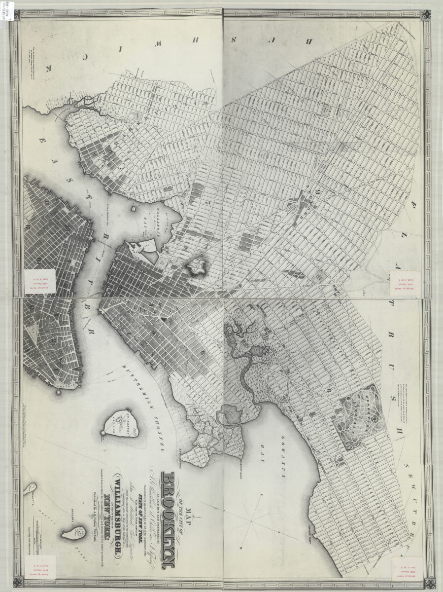
Map of the city of Brooklyn: as laid out and confirmed by A.G. Hammond, S. Cheever and J. Tiffany, commissioners appointed under an Act of the Legislature of the state of New York ; containing also a map of the village of Williamsburgh
Map of the city of Brooklyn: as laid out and confirmed by A.G. Hammond, S. Cheever and J. Tiffany, commissioners appointed under an Act of the Legislature of the state of New York ; containing also a map of the village of Williamsburgh
[19??]