Center for Brooklyn History
Map Collections
Search
About
Othmer Library & Archives
Submit search query
Refine 6 records
Clear filters
2
Location
Cold Spring Harbor (N.Y.)
1
Long Island (N.Y.)
197
Montauk (N.Y.)
4
New York (State)
95
Orient (N.Y.)
1
Sag Harbor (N.Y.)
2
Subject
Roads
117
Date
19th Century
945
20th Century
469
or enter range:
from
to
Genres
Pictorial maps
38
Tourist maps
55
Sort by:
Date (earliest)
Date (most recent)
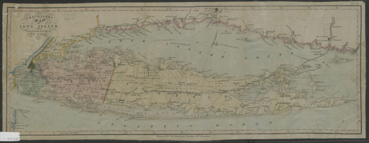
Traveller’s map of Long Island
Traveller’s map of Long Island
1850
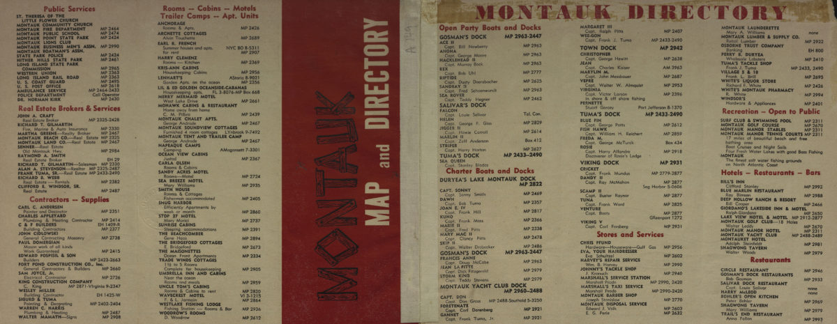
Montauk map and directory
Montauk map and directory
[195?]
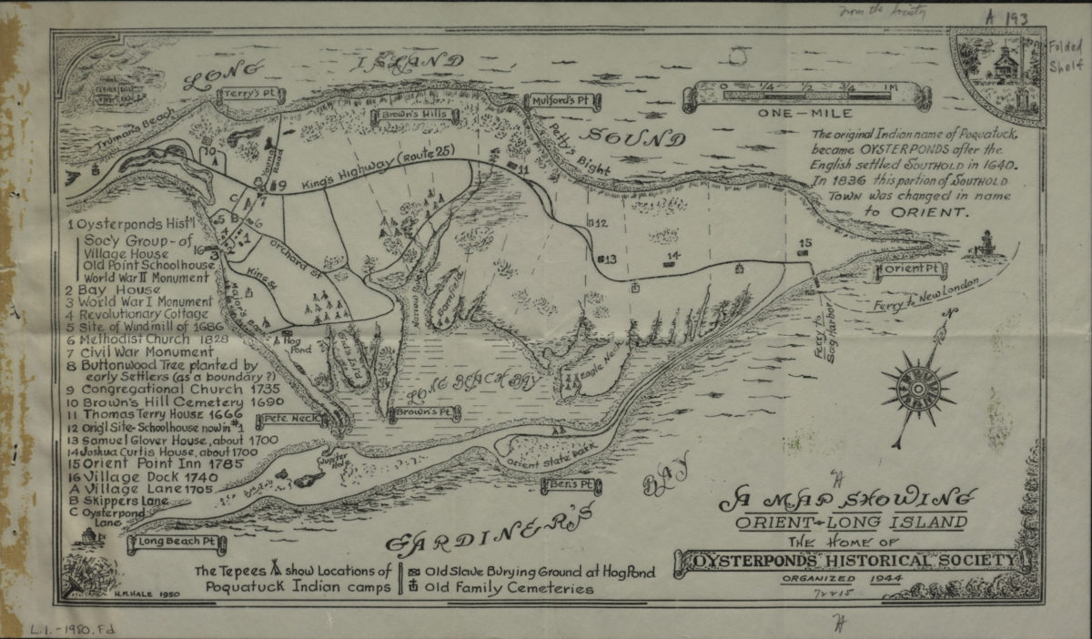
A map showing Orient, Long Island: the home of Oysterponds Historical Society: H.M. Hale
A map showing Orient, Long Island: the home of Oysterponds Historical Society: H.M. Hale
1950
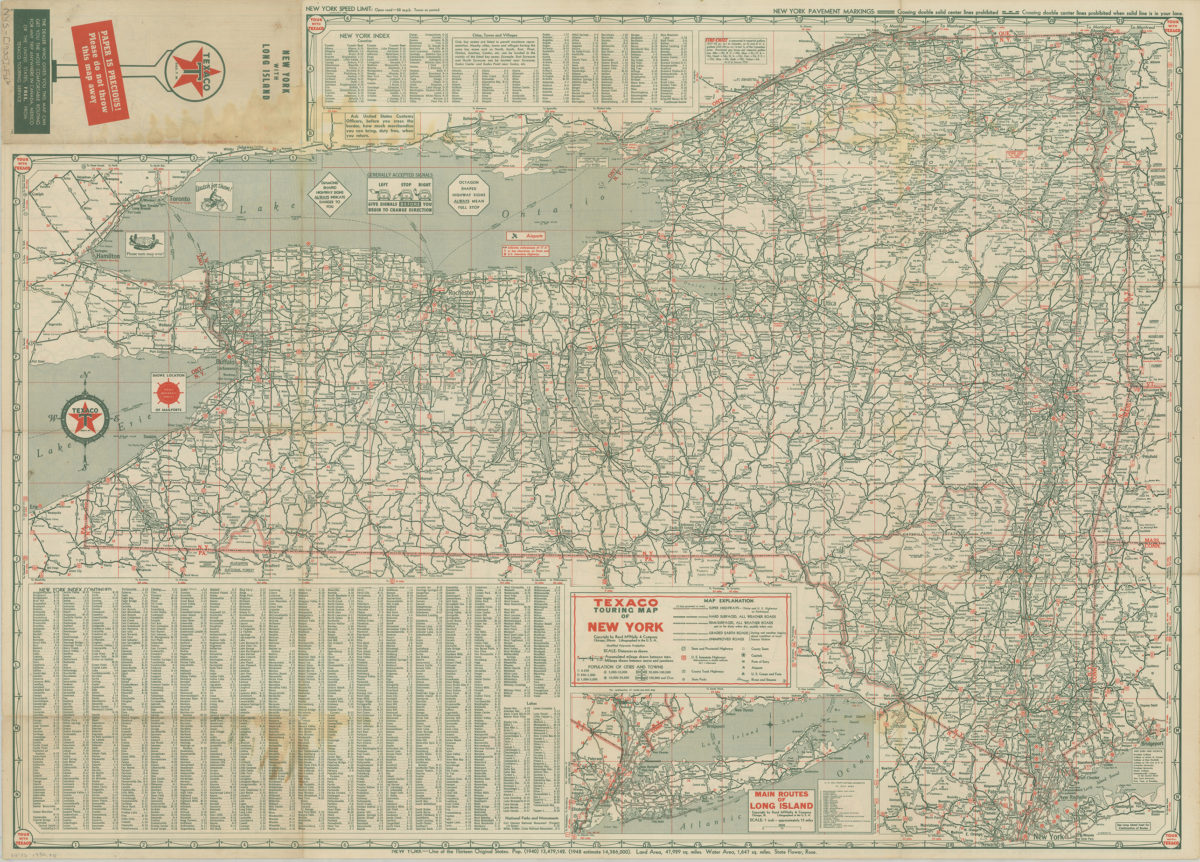
Texaco touring map of Long Island and Metropolitan New York
Texaco touring map of Long Island and Metropolitan New York
[1950]
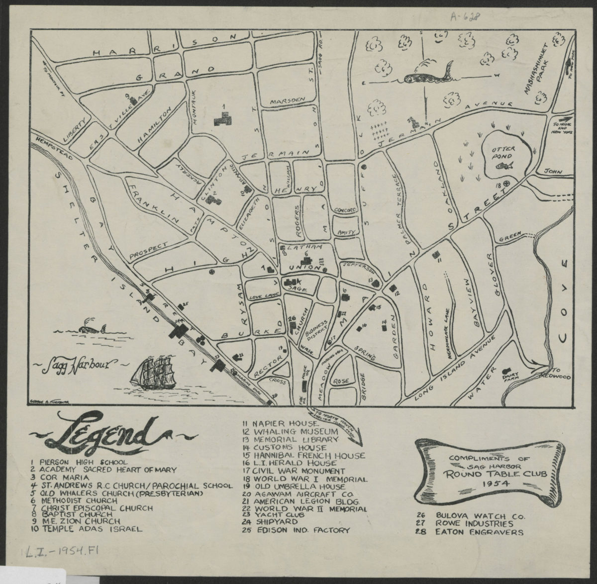
[Map of village of Sag Harbor]
[Map of village of Sag Harbor]
1954
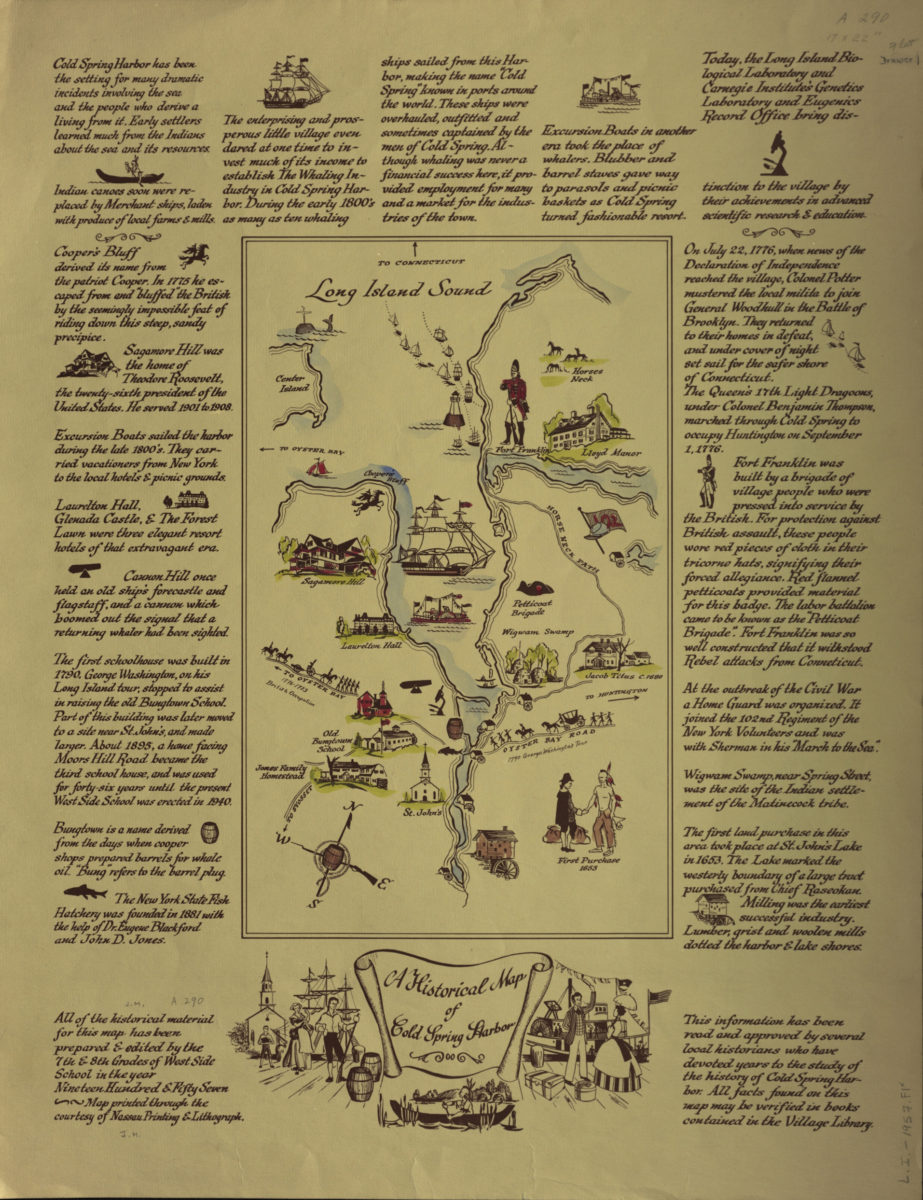
A historical map of Cold Spring Harbor
A historical map of Cold Spring Harbor
1957