Center for Brooklyn History
Map Collections
Search
About
Othmer Library & Archives
Submit search query
Refine 7 records
Clear filters
2
Location
Bay Ridge (New York, N.Y.)
108
Brooklyn (New York, N.Y.)
891
Fort Hamilton (New York, N.Y.)
31
Sunset Park (New York, N.Y.)
53
Subject
Landforms
15
Landowners
434
Real property
619
Roads
117
Streets
46
Date
19th Century
945
or enter range:
from
to
Genres
Cadastral maps
597
Manuscript maps
365
Sort by:
Date (earliest)
Date (most recent)
92nd St
92nd St
[18??]
[Survey map of 2 proposed routes north from Dyker Meadow in the town of New Utrecht]
[Survey map of 2 proposed routes north from Dyker Meadow in the town of New Utrecht]
[1839]
Extension of 3rd Ave. to Ft. Hamilton
Extension of 3rd Ave. to Ft. Hamilton
1851
Extension of 3d. Ave., New Utrecht, preliminary survey, 1852
Extension of 3d. Ave., New Utrecht, preliminary survey, 1852
January 1852
Map of 3d Ave. of Brooklyn, as extended to Fort Hamilton, New Utrecht, by order of commissioners in 1853
Map of 3d Ave. of Brooklyn, as extended to Fort Hamilton, New Utrecht, by order of commissioners in 1853
[1853]
[Profile maps of grade of 3rd Avenue from Brooklyn to Fort Hamilton]
[Profile maps of grade of 3rd Avenue from Brooklyn to Fort Hamilton]
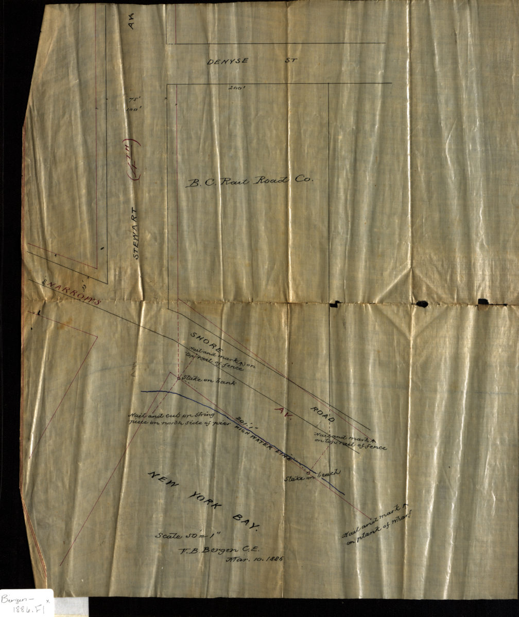
[Map of Stewart Ave. at Narrows Ave. and Shore Rd.]: V.B. Bergen, C.E.
[Map of Stewart Ave. at Narrows Ave. and Shore Rd.]: V.B. Bergen, C.E.
March 10, 1886