Center for Brooklyn History
Map Collections
Search
About
Othmer Library & Archives
Submit search query
Refine 7 records
Clear filters
2
Location
Brooklyn (New York, N.Y.)
891
Coney Island (New York, N.Y.)
22
New Jersey
27
New York (N.Y.)
164
New York (State)
95
New York Metropolitan Area
40
Queens (New York, N.Y.)
83
Stapleton (New York, N.Y.)
1
Staten Island (N.Y.)
10
Subject
ferries
32
Piers
25
Real property
619
Streets
46
Date
19th Century
945
20th Century
469
or enter range:
from
to
Genres
Bathymetric maps
94
Cadastral maps
597
Historical maps
53
Topographic maps
70
Zoning maps
55
Sort by:
Date (earliest)
Date (most recent)
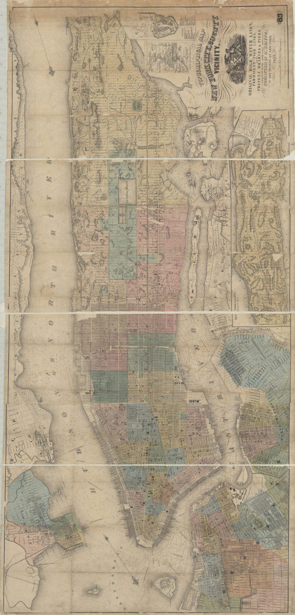
Topographical map of New York City, County and vicinity showing the original high water lines, permanent pier lines, and the present wharves & piers: compiled from authentic surveys
Topographical map of New York City, County and vicinity showing the original high water lines, permanent pier lines, and the present wharves & piers: compiled from authentic surveys
1855
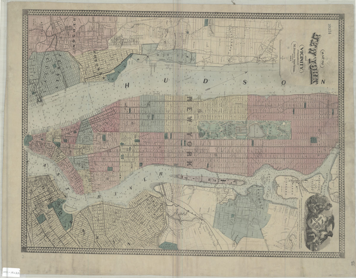
Map of New York and vicinity
Map of New York and vicinity
1863
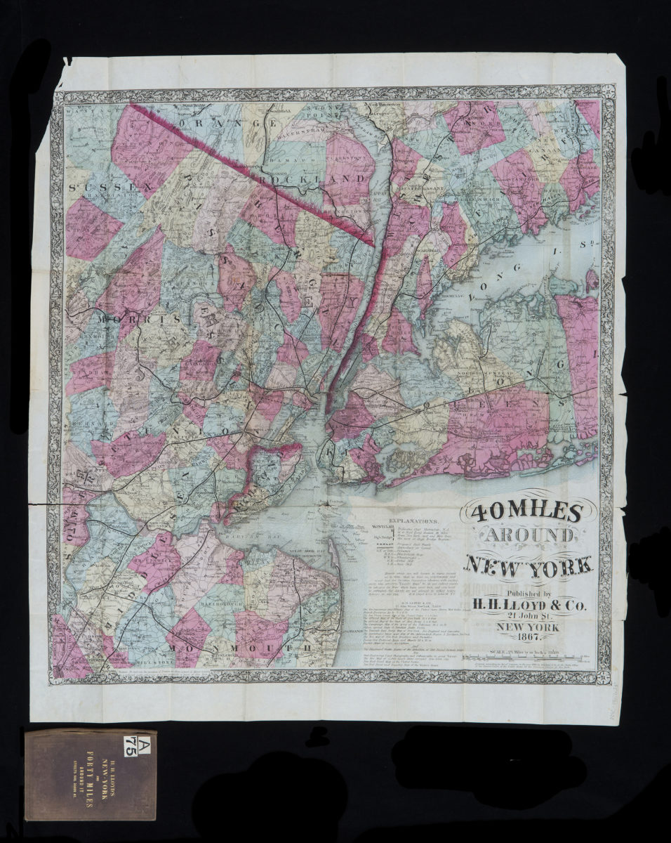
40 miles around New York
40 miles around New York
1867; [ca. 1866]
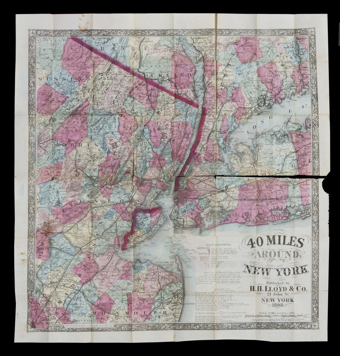
40 miles around New York
40 miles around New York
1867; [ca. 1866]
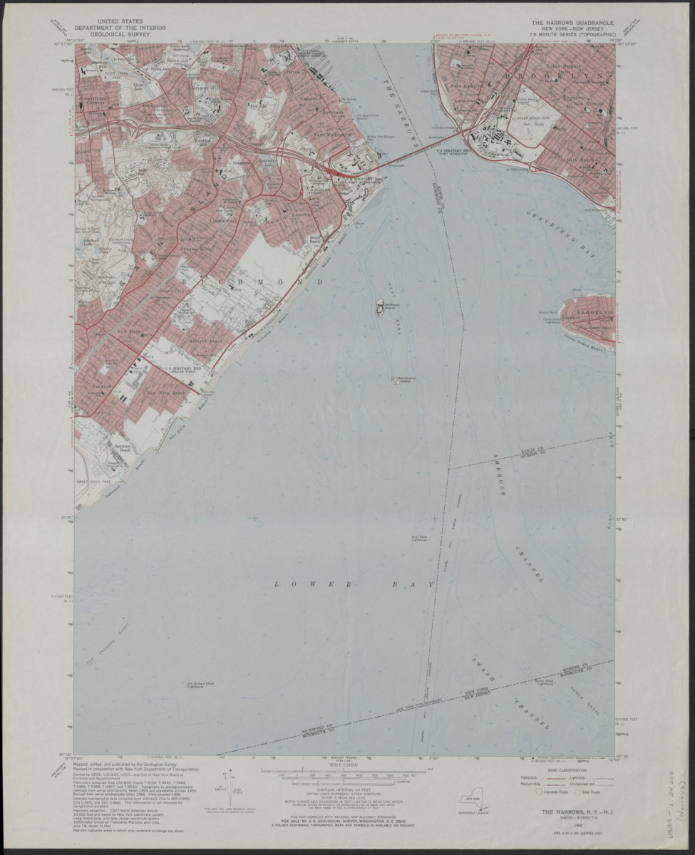
The Narrows quadrangle, New York–New Jersey: 7.5 minute series (topographic): mapped, edited, and published by the Geological Survey ; revised in cooperation with New York Department of Transportation
The Narrows quadrangle, New York–New Jersey: 7.5 minute series (topographic): mapped, edited, and published by the Geological Survey ; revised in cooperation with New York Department of Transportation
1968
Coney Island quadrangle, New York–New Jersey
Coney Island quadrangle, New York–New Jersey
[1969]
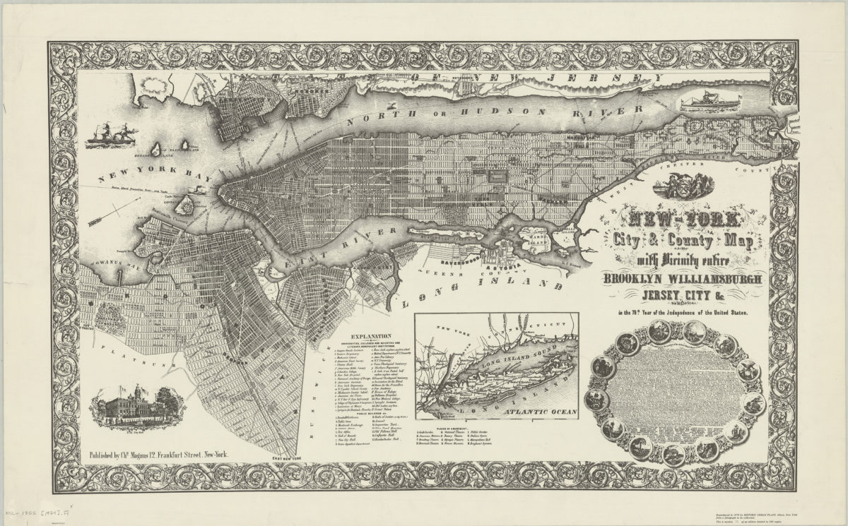
New-York City & County map with vicinity entire: Brooklyn, Williamsburgh, Jersey City &c. in the 79th year of the independence of the United States
New-York City & County map with vicinity entire: Brooklyn, Williamsburgh, Jersey City &c. in the 79th year of the independence of the United States
1974