Center for Brooklyn History
Map Collections
Search
About
Othmer Library & Archives
Submit search query
Refine 7 records
Clear filters
2
Location
Brooklyn (New York, N.Y.)
891
Kings County (New York, N.Y.)
8
New York (N.Y.)
164
Queens (New York, N.Y.)
83
Subject
Landowners
434
Real property
619
Date
19th Century
945
or enter range:
from
to
Genres
Bathymetric maps
94
Cadastral maps
597
Map
191
Statistical maps
8
Transportation maps
120
Zoning maps
55
Sort by:
Date (earliest)
Date (most recent)
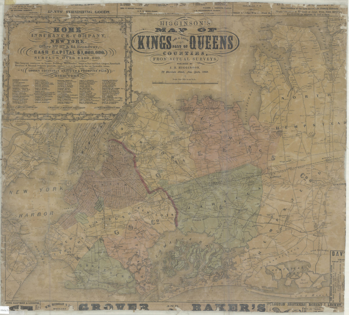
Higginson’s map of Kings and a large part of Queens Counties: from actual surveys
Higginson’s map of Kings and a large part of Queens Counties: from actual surveys
1860
Map of Kings County, N.Y.
Map of Kings County, N.Y.
1868
Map of the county of Kings showing the ward and town boundaries
Map of the county of Kings showing the ward and town boundaries
October 1869
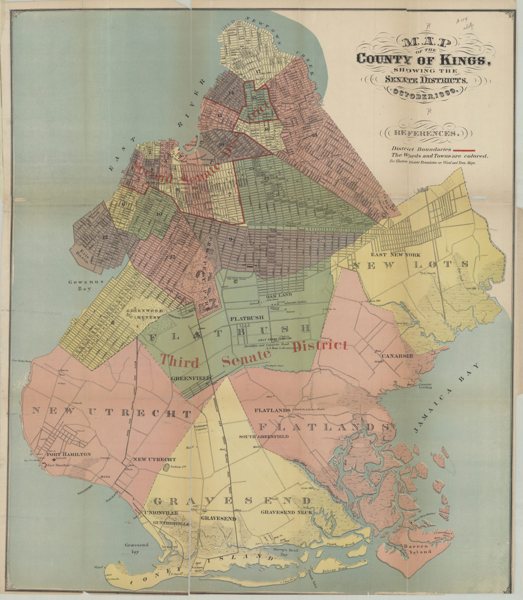
Map of the county of Kings, showing the Senate districts
Map of the county of Kings, showing the Senate districts
October 1869
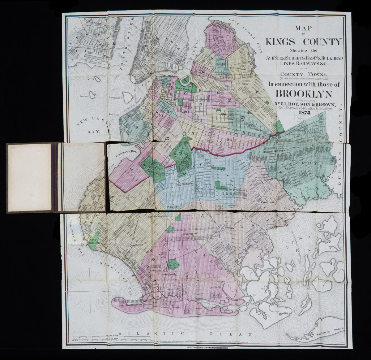
Map of Kings County: showing the avenues, streets, basins, bulkhead lines, railways &c. of the county towns (as laid out by the Town Survey Commission) in connection with those of Brooklyn
Map of Kings County: showing the avenues, streets, basins, bulkhead lines, railways &c. of the county towns (as laid out by the Town Survey Commission) in connection with those of Brooklyn
1875
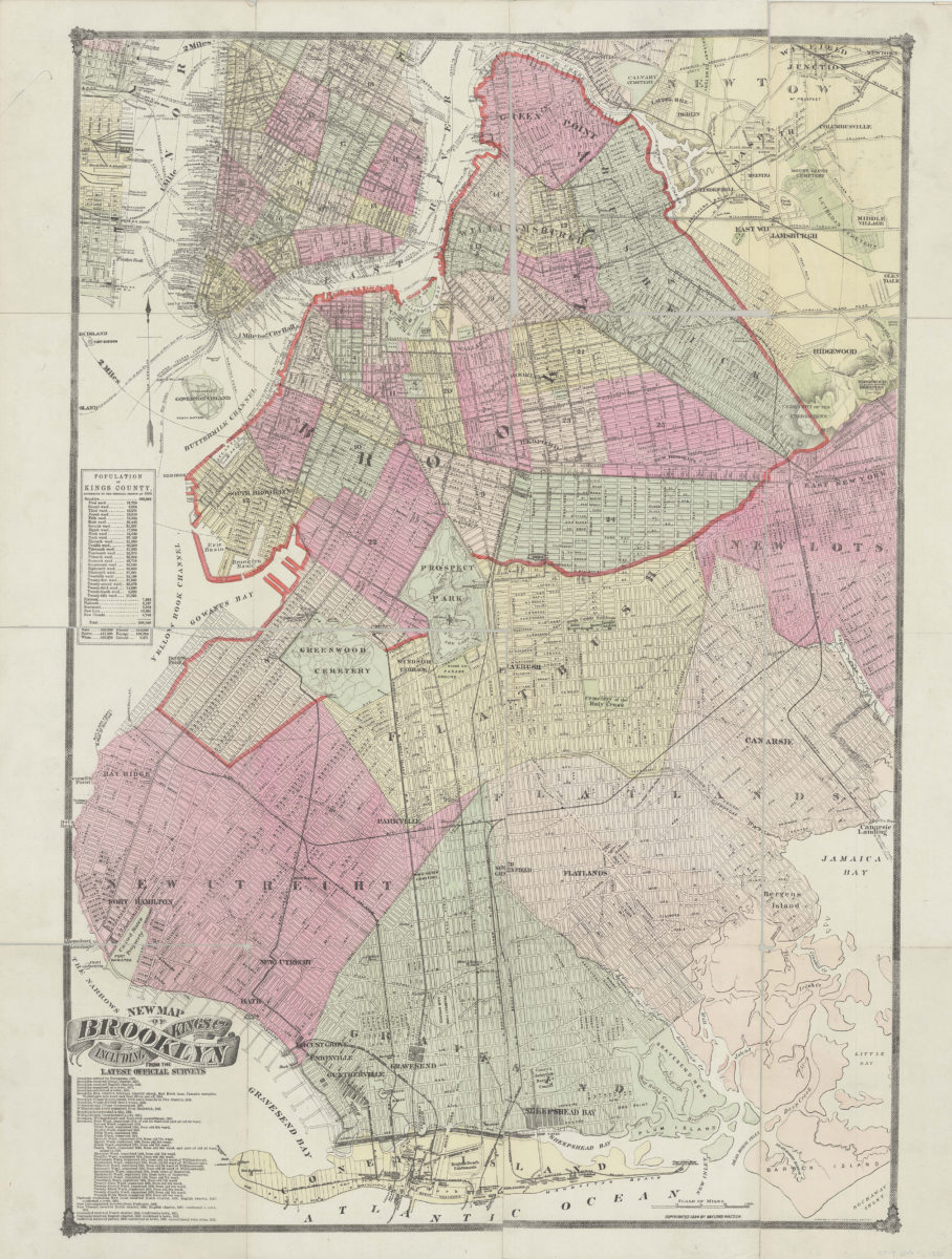
New map of Brooklyn including Kings Co., from the latest official surveys
New map of Brooklyn including Kings Co., from the latest official surveys
[ca. 1884]
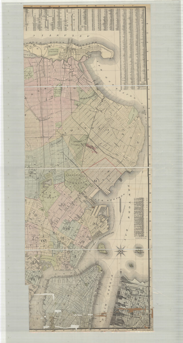
Indexed commercial map of Brooklyn and Kings County, New York: from latest official surveys: drawn by Ch. Bruegel
Indexed commercial map of Brooklyn and Kings County, New York: from latest official surveys: drawn by Ch. Bruegel
1889