Center for Brooklyn History
Map Collections
Search
About
Othmer Library & Archives
Submit search query
Refine 6 records
Clear filters
2
Location
Brooklyn (New York, N.Y.)
891
Brooklyn Heights (New York, N.Y.)
76
Fort Brooklyn (New York, N.Y.)
1
Long Island (N.Y.)
197
Manhattan (New York, N.Y.)
120
Morningside Heights (New York, N.Y.)
1
New York (N.Y.)
164
New York (State)
95
Oyster Bay (N.Y.)
9
United States
10
Subject
Fortification
7
Long Island, Battle of, New York, N.Y. , 1776
7
Date
19th Century
945
or enter range:
from
to
Genres
Map
191
Military maps
23
Pictorial maps
38
Sort by:
Date (earliest)
Date (most recent)
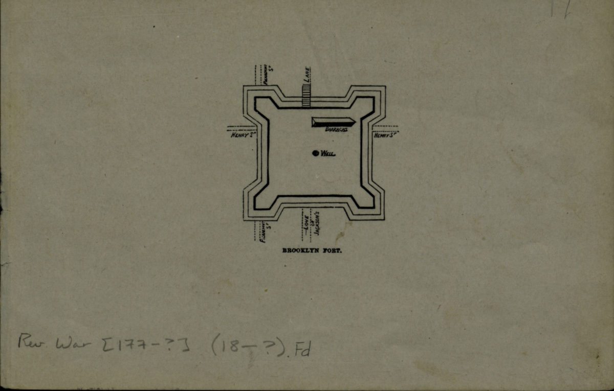
Brooklyn fort
Brooklyn fort
[18??]
Plan of the Battle of Long Island and of the Brooklyn defences, August 27th, 1776: compiled by Henry P. Johnston ; F. von Egloffstein, del
Plan of the Battle of Long Island and of the Brooklyn defences, August 27th, 1776: compiled by Henry P. Johnston ; F. von Egloffstein, del
[18??]
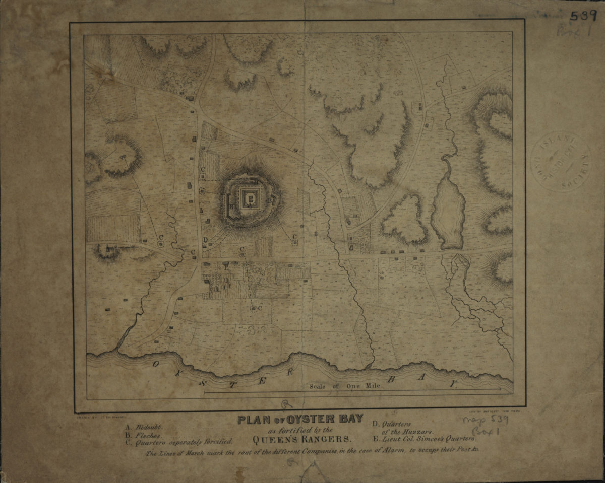
Plan of Oyster Bay as fortified by the Queen’s Rangers: drawn by Lt. Col. Simcoe
Plan of Oyster Bay as fortified by the Queen’s Rangers: drawn by Lt. Col. Simcoe
[1844]
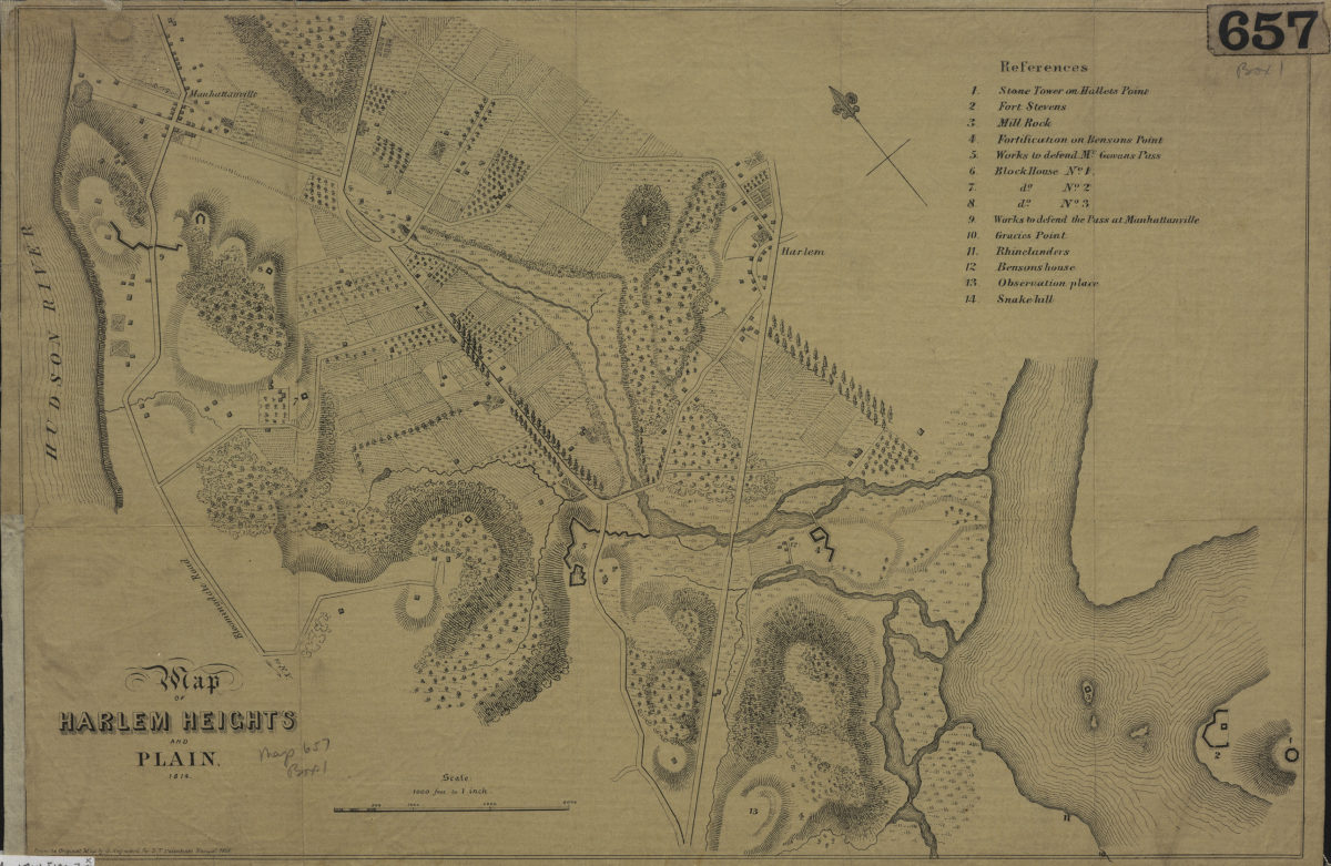
Map of Harlem Heights and plain, 1814
Map of Harlem Heights and plain, 1814
[1856]
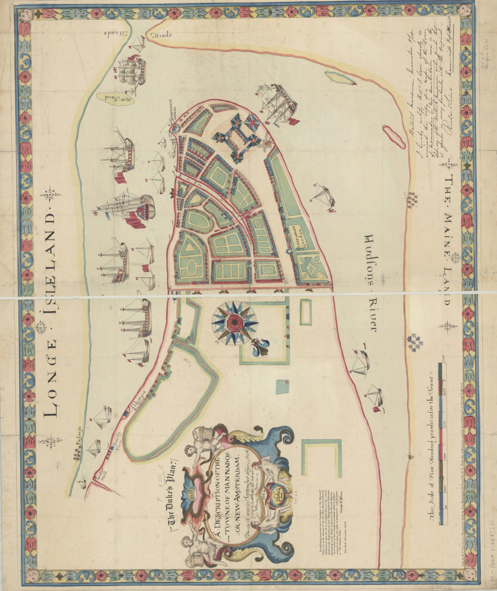
A description of the towne of Mannados or New Amsterdam: as it was in September 1661 : lying in lattitude 40 de. and 40 m. : anno domini 1664
A description of the towne of Mannados or New Amsterdam: as it was in September 1661 : lying in lattitude 40 de. and 40 m. : anno domini 1664
[1859]
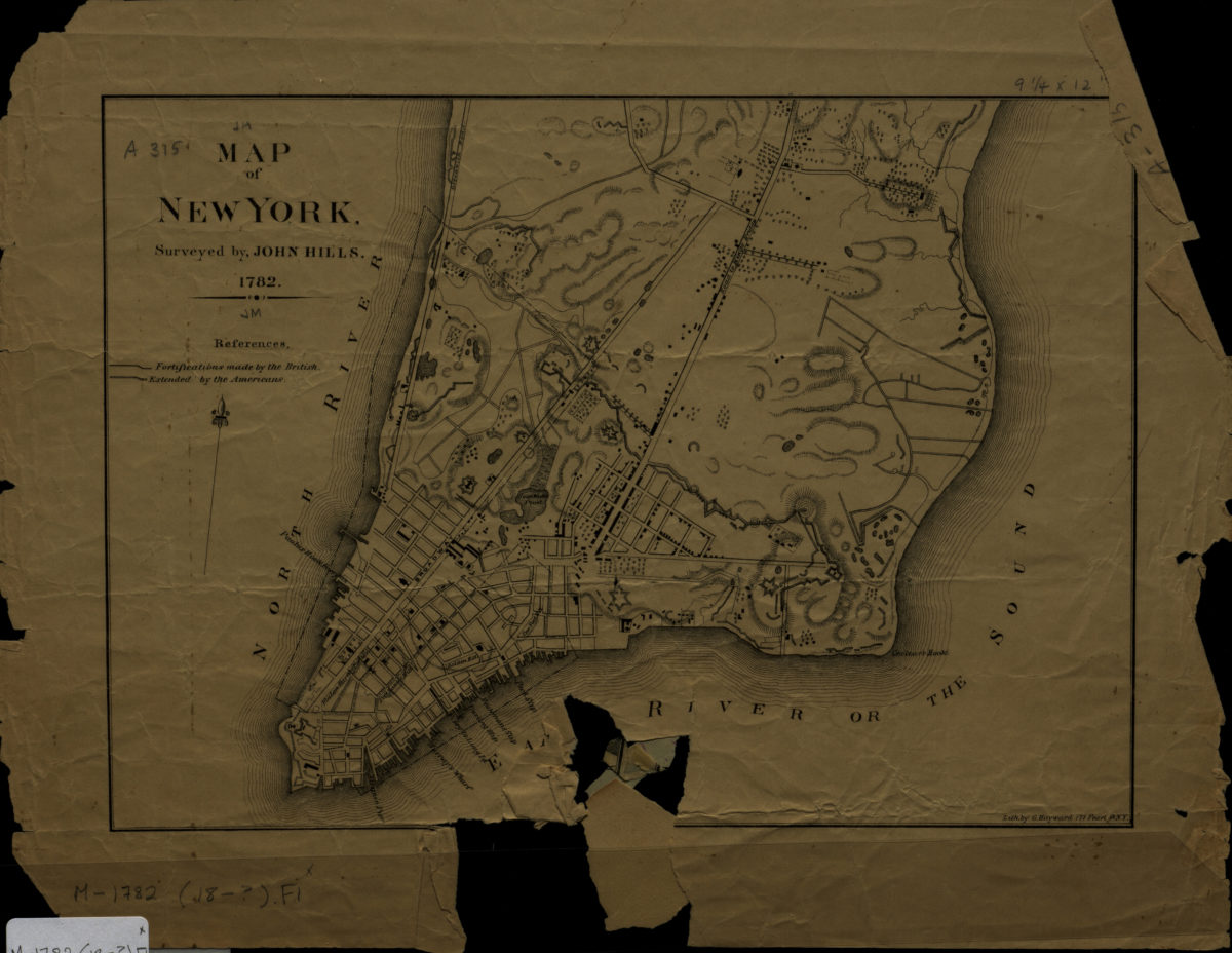
Map of New York: surveyed by John Hills
Map of New York: surveyed by John Hills
[1890]