Center for Brooklyn History
Map Collections
Search
About
Othmer Library & Archives
Submit search query
Refine 62 records
Clear filters
2
Location
Albany (N.Y.)
3
Amityville (N.Y.)
1
Babylon (N.Y. : Town)
2
Babylon (N.Y.)
1
Battery Park (New York, N.Y.)
3
Belt Parkway (New York, N.Y.)
1
Brightwaters (N.Y.)
1
Brooklyn (New York, N.Y.)
891
Brooklyn Heights (New York, N.Y.)
76
Brooklyn-Battery Bridge (New York, N.Y.)
1
Brooklyn-Queens Expressway (New York, N.Y.)
3
Buffalo (N.Y.)
3
Carroll Gardens (New York, N.Y.)
21
Columbia County (N.Y.)
1
Columbia Street Waterfront District (New York, N.Y.)
3
Downtown Brooklyn (New York, N.Y.)
29
Dutchess County (N.Y.)
2
Flushing (New York, N.Y.)
13
Greene County (N.Y.)
3
Islip (N.Y.)
5
Lindenhurst (N.Y.)
1
Long Island (N.Y.)
197
Manhattan (New York, N.Y.)
120
Nassau County (N.Y.)
24
New Jersey
27
New York (N.Y.)
164
New York (State)
95
New York Metropolitan Area
40
Ocean Beach (N.Y.)
1
Queens (New York, N.Y.)
83
Red Hook (New York, N.Y.)
19
Saltaire (N.Y.)
1
Smithtown (N.Y. : Town)
4
Southampton (N.Y.)
5
Staten Island (N.Y.)
10
Suffolk County (N.Y.)
43
Westchester County (N.Y.)
11
Williamsburg (New York, N.Y.)
36
Show 18 more
Subject
Automobile racing
1
Bicycle trails
17
Bridges
13
Canals
15
Country clubs
1
Electric railroads
5
Exhibitions
5
Express highways
3
ferries
32
Golf courses
2
Golf resorts
1
Highway planning
2
Local transit
63
Postal codes
4
Railroads
72
Railroads, Elevated
24
Recreation
5
Roads
117
Steamboat lines
4
Street addresses
11
Street railroads
8
Streets
46
Subways
55
Tourism
1
Traffic engineering
1
Transportation
3
Zip codes
4
Show 7 more
Date
20th Century
469
or enter range:
from
to
Genres
Aerial views
15
Pictorial maps
38
Road maps
83
Thematic maps
60
Tourist maps
55
Transportation maps
120
Sort by:
Date (earliest)
Date (most recent)
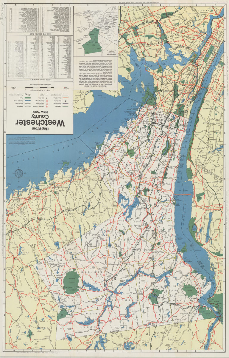
Hagstrom Westchester County, New York
Hagstrom Westchester County, New York
1970
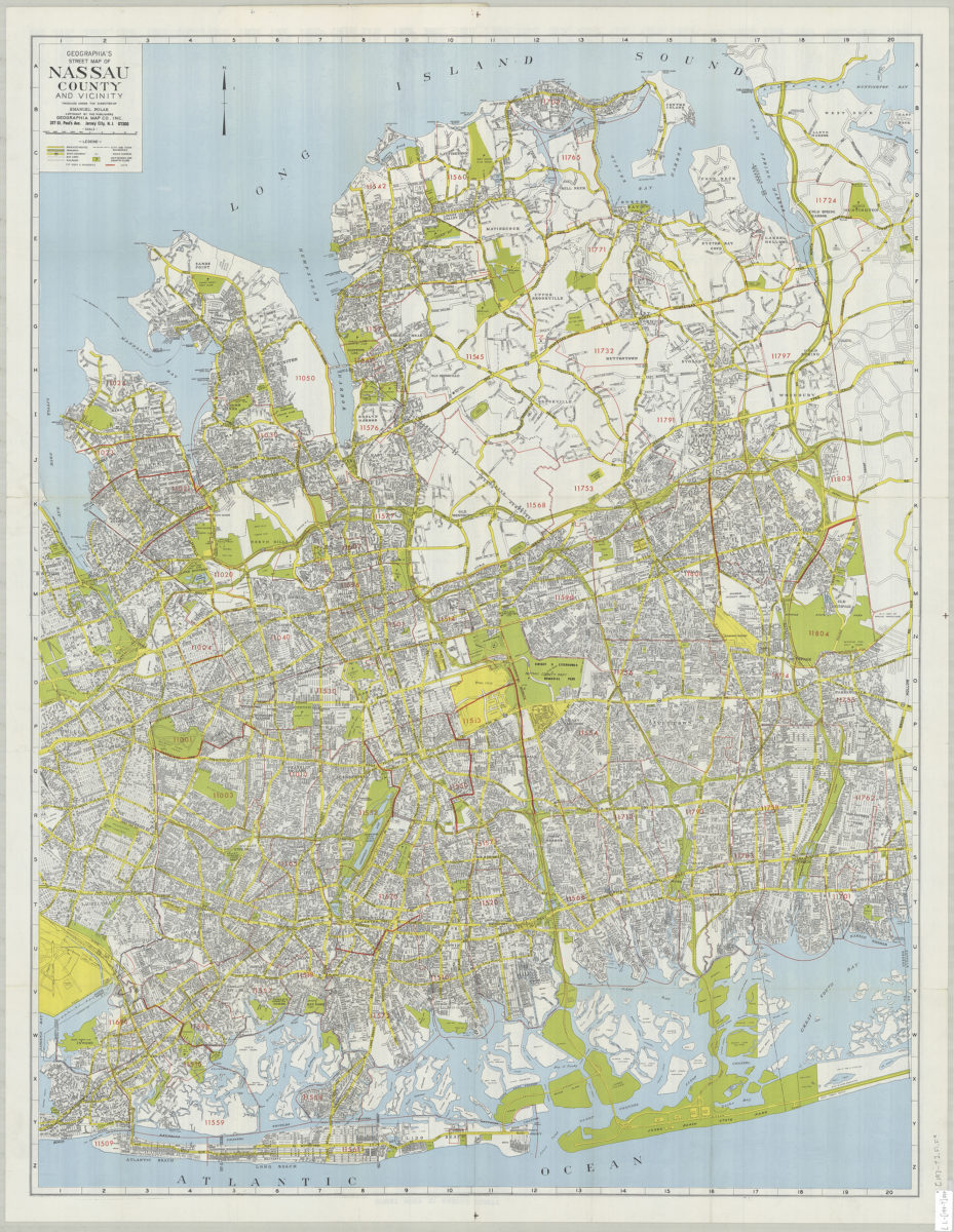
Geographia’s street map of Nassau County and vicinity: produced under the direction of Emanuel Polak
Geographia’s street map of Nassau County and vicinity: produced under the direction of Emanuel Polak
[197?]
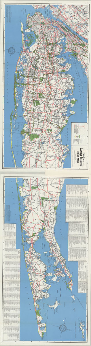
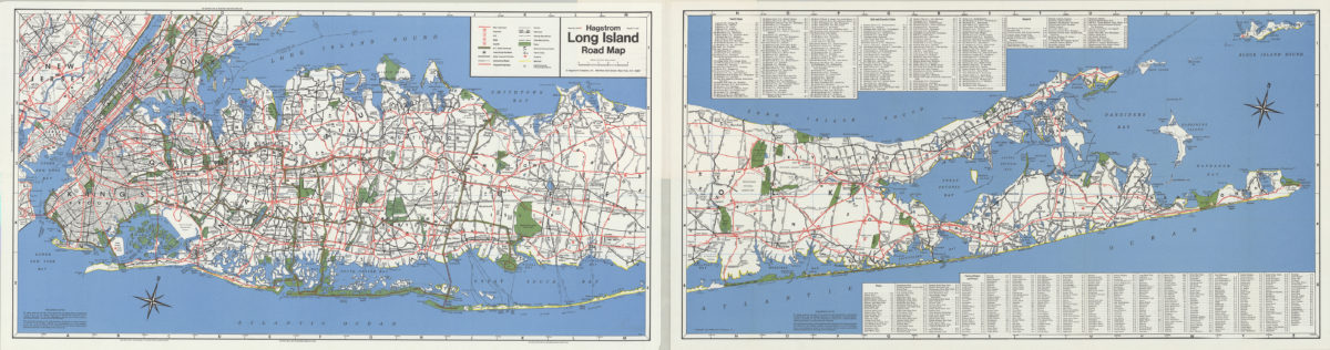
Hagstrom Long Island road map
Hagstrom Long Island road map
[1971]
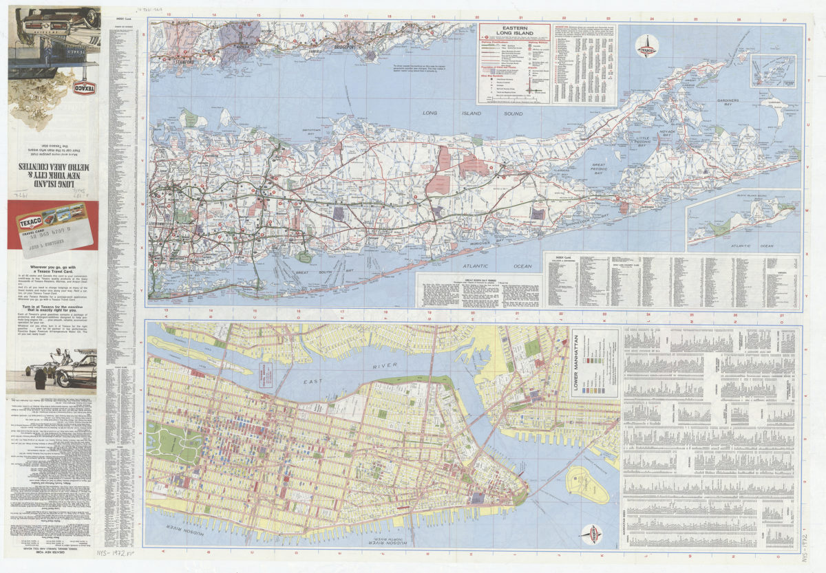
Long Island, New York City & metro area counties
Long Island, New York City & metro area counties
[1972]
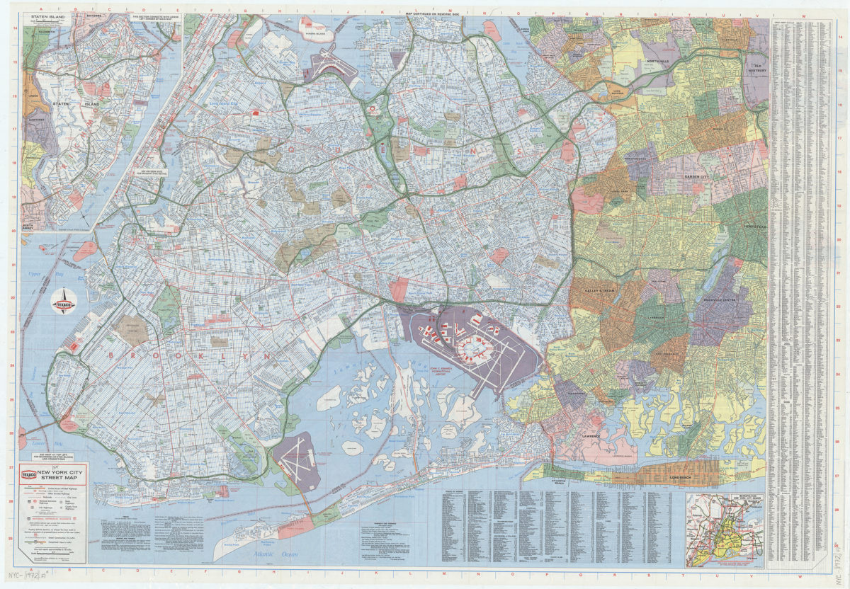
New York City street map: [prepared for] Texaco
New York City street map: [prepared for] Texaco
[1972]
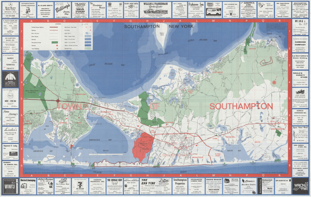
Southampton, New York
Southampton, New York
[1973]
Hagstrom Long Island road map
Hagstrom Long Island road map
[1974]
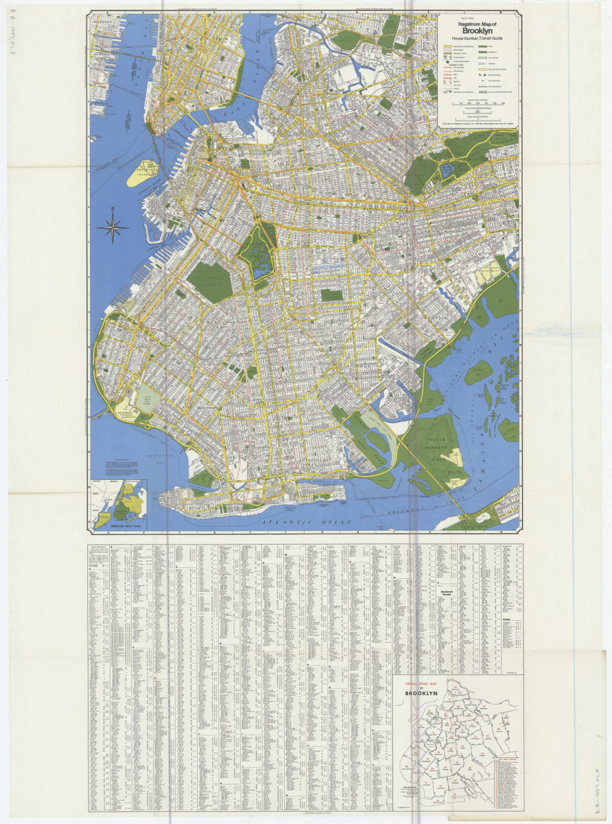
Hagstrom map of Brooklyn: house number, transit guide
Hagstrom map of Brooklyn: house number, transit guide
[1977]
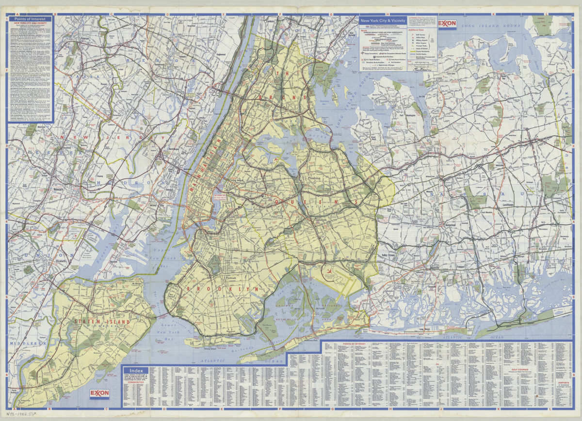
New York City and Long Island: featuring complete index, special area maps, recreation areas, points of interest text: Exxon
New York City and Long Island: featuring complete index, special area maps, recreation areas, points of interest text: Exxon
[ca. 1982]
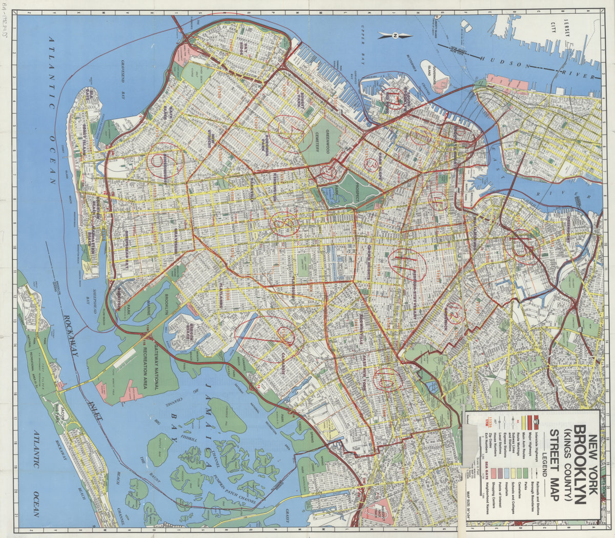
New York, Brooklyn (Kings County), street map: Geographia Map Co., Inc
New York, Brooklyn (Kings County), street map: Geographia Map Co., Inc
[ca. 1982]
Long Island road map: Hagstrom
Long Island road map: Hagstrom
[ca. 1987]
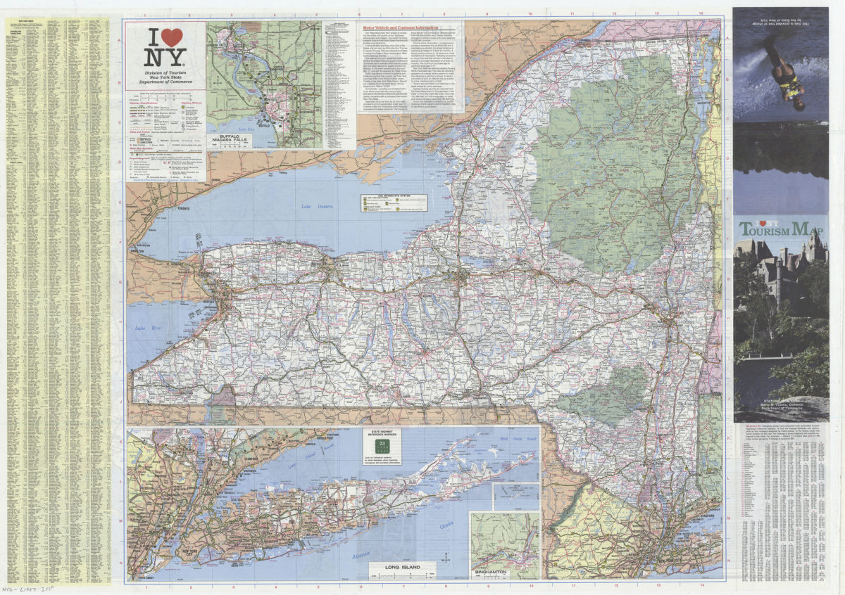
I [heart symbol] NY: Division of Tourism, New York State Department of Commerce
I [heart symbol] NY: Division of Tourism, New York State Department of Commerce
[1987]
Previous
1
2