Center for Brooklyn History
Map Collections
Search
About
Othmer Library & Archives
Submit search query
Refine 10 records
Clear filters
2
Location
Brooklyn (New York, N.Y.)
891
Coney Island (New York, N.Y.)
22
Long Island (N.Y.)
197
Manhattan (New York, N.Y.)
120
New Jersey
27
New York (N.Y.)
164
New York (State)
95
New York Harbor (N.Y. and N.J.)
16
New York Metropolitan Area
40
Saint Lawrence River
2
United States
10
Subject
Bridges
13
Canals
15
Local transit
63
Railroads
72
Roads
117
Subways
55
Tunnels
16
Date
18th Century
12
19th Century
945
20th Century
469
21th Century
66
or enter range:
from
to
Genres
Bathymetric maps
94
Cadastral maps
597
Early maps
35
Early works
3
Facsimiles
1
Manuscript maps
365
Map
191
Military maps
23
Pictorial maps
38
Road maps
83
Transportation maps
120
Sort by:
Date (earliest)
Date (most recent)
A plan of the city of New-York & its environs: to Greenwich, on the North or Hudsons River, and to Crown Point, on the East or Sound River, shewing the several streets, publick buildings, docks, fort & battery,
A plan of the city of New-York & its environs: to Greenwich, on the North or Hudsons River, and to Crown Point, on the East or Sound River, shewing the several streets, publick buildings, docks, fort & battery,
1775
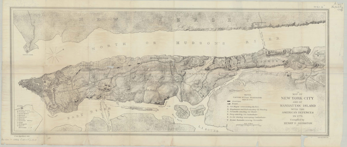
Map of New York City and of Manhattan Island with the American defences in 1776: compiled by Henry P. Johnston ; F. von Egloffstein del
Map of New York City and of Manhattan Island with the American defences in 1776: compiled by Henry P. Johnston ; F. von Egloffstein del
[18??]
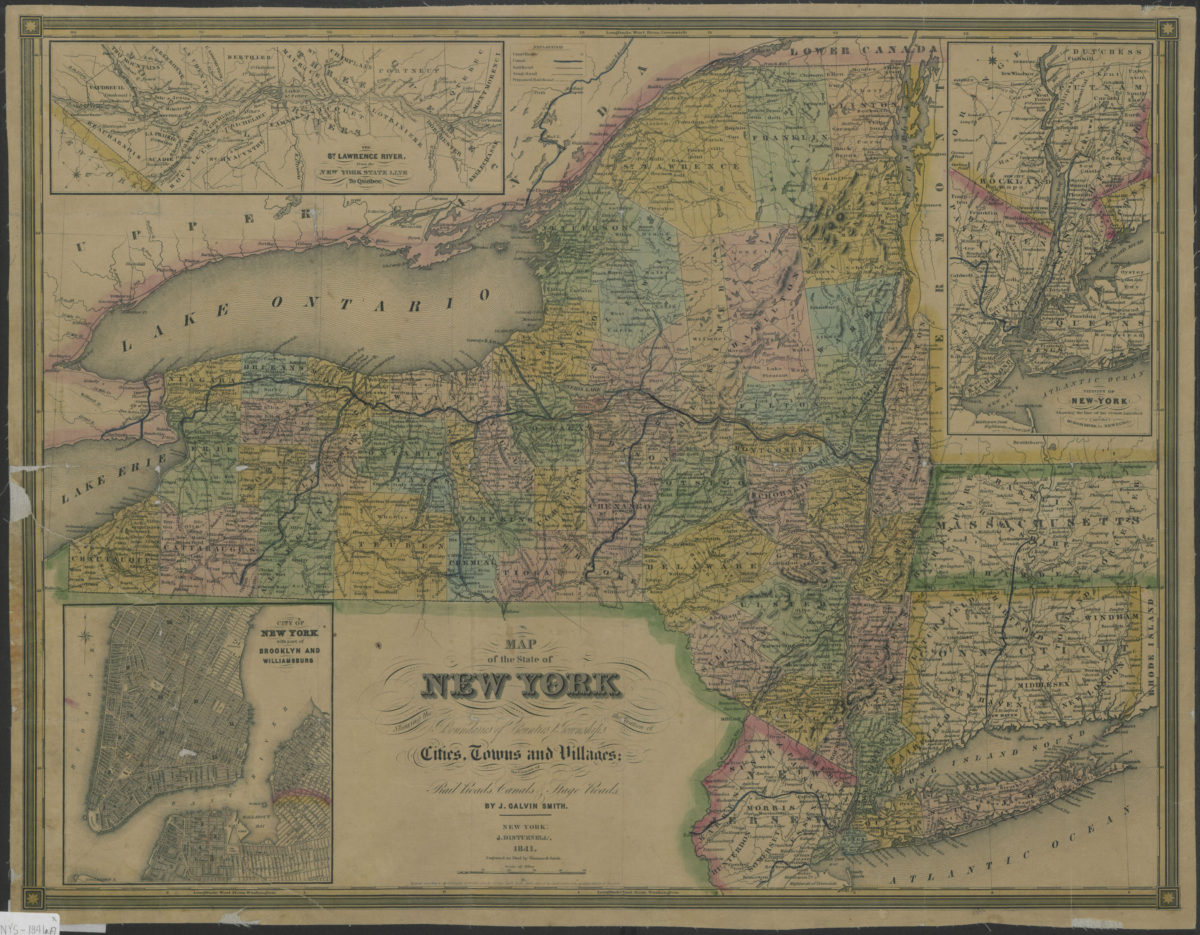
Map of the state of New York: showing the boundaries of counties & townships, the location of cities, towns and villages, the courses of rail roads, canals & stage roads: by J. Calvin Smith
Map of the state of New York: showing the boundaries of counties & townships, the location of cities, towns and villages, the courses of rail roads, canals & stage roads: by J. Calvin Smith
1841
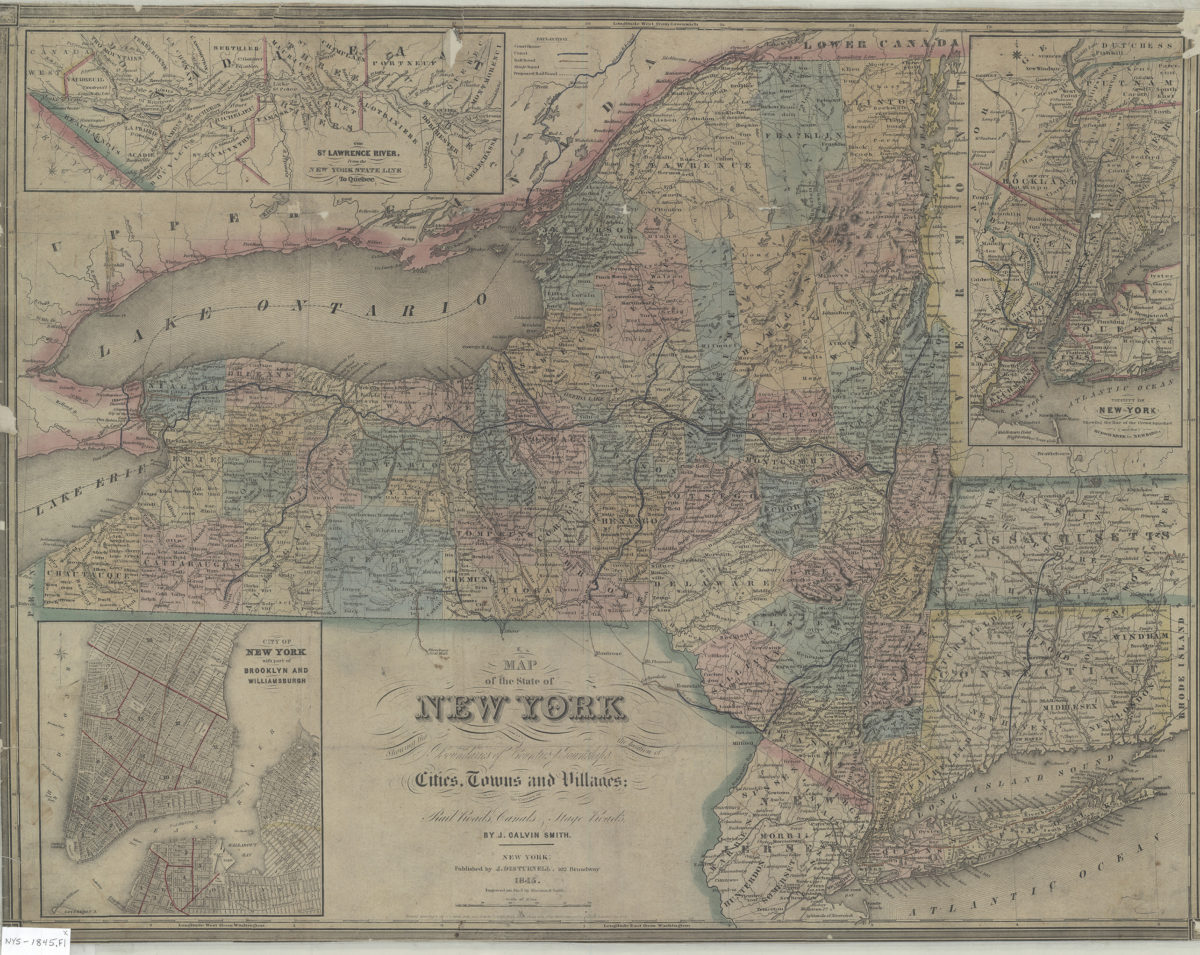
Map of the state of New York: showing the boundaries of counties & townships, the location of cities, towns and villages, the courses of rail roads, canals & stage roads: by J. Calvin Smith
Map of the state of New York: showing the boundaries of counties & townships, the location of cities, towns and villages, the courses of rail roads, canals & stage roads: by J. Calvin Smith
1845; [ca. 1842]
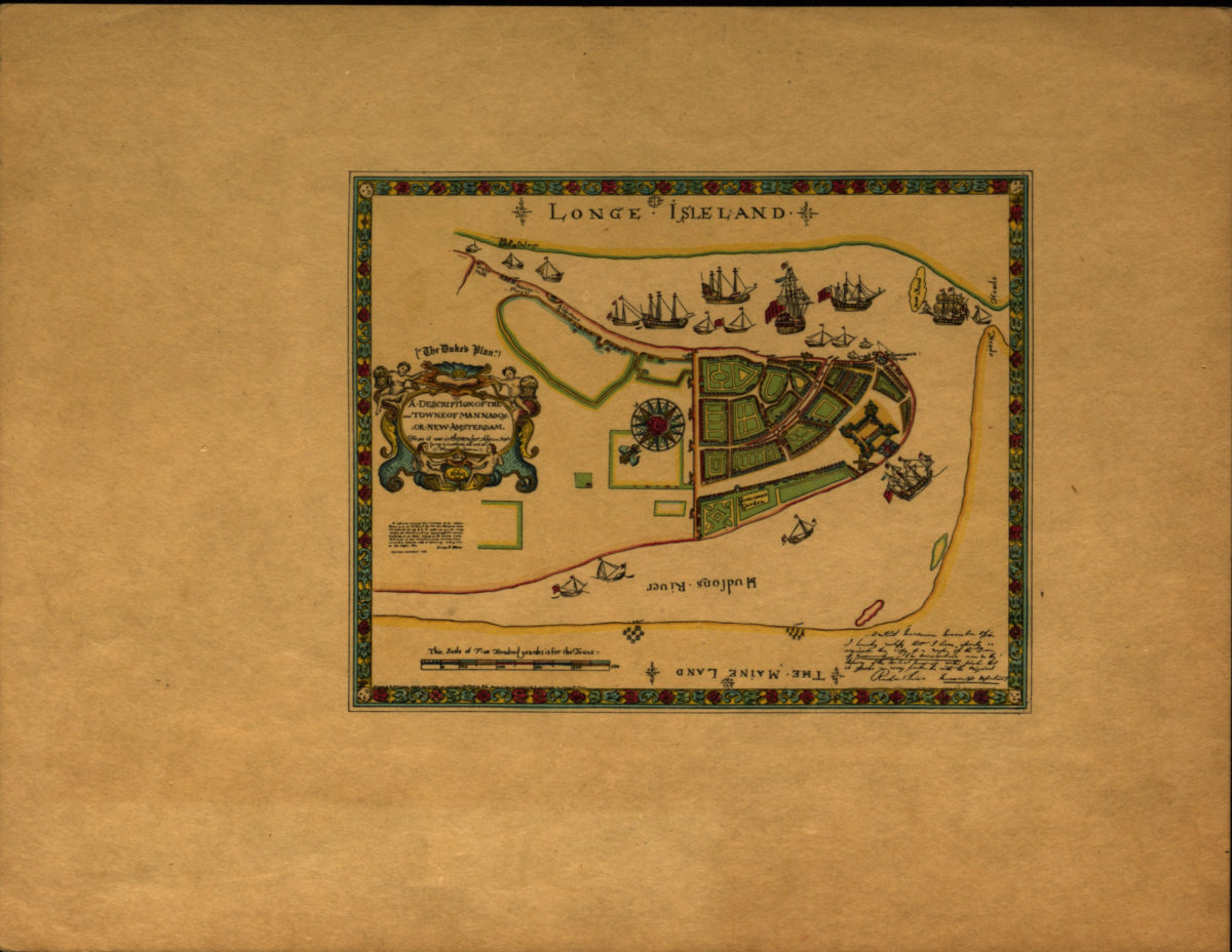
A description of the towne of Mannados or New Amsterdam: as it was in September 1661 lying in latitude 40 de. and 40 m. anno Domini 1664
A description of the towne of Mannados or New Amsterdam: as it was in September 1661 lying in latitude 40 de. and 40 m. anno Domini 1664
[1897]
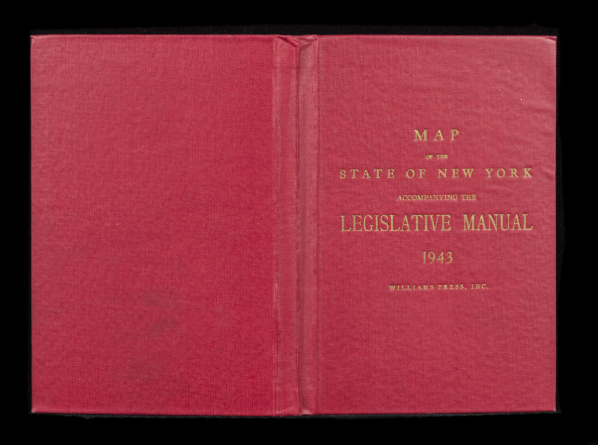
Canal and railroad map of the State of New York: to accompany the Legislative Manual
Canal and railroad map of the State of New York: to accompany the Legislative Manual
1943
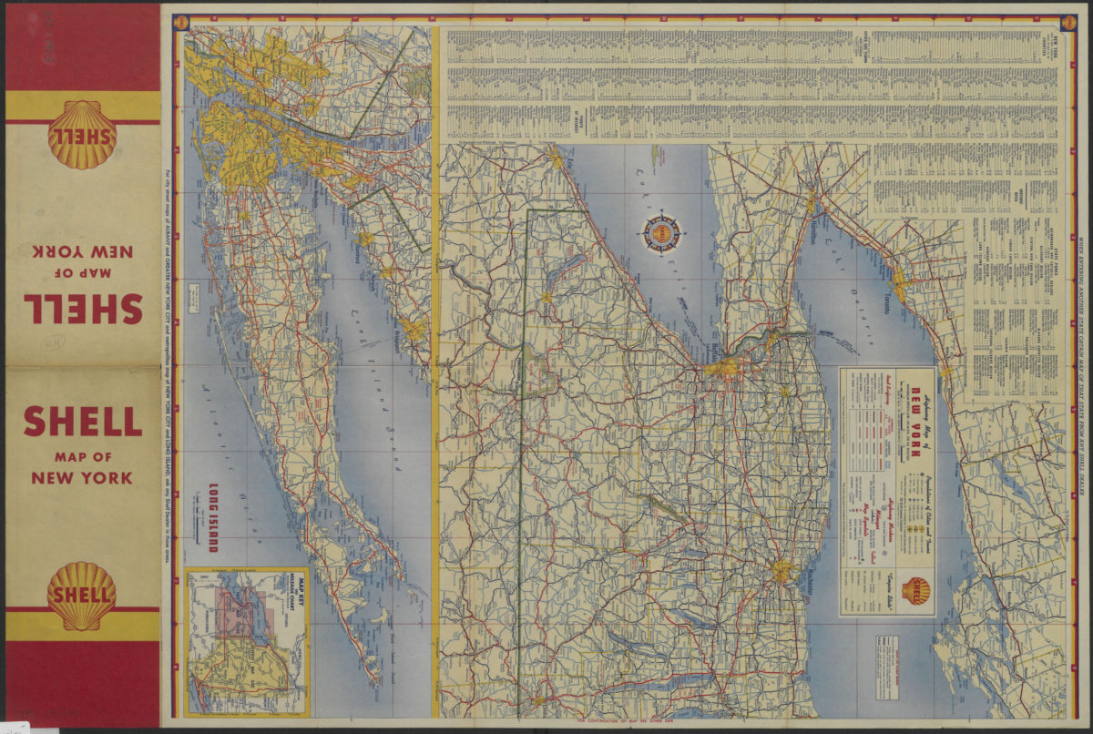
Highway map of New York
Highway map of New York
[1953]
Coney Island quadrangle, New York–New Jersey
Coney Island quadrangle, New York–New Jersey
[1969]
Long Island, New York City & metro area counties: [prepared for] Texaco
Long Island, New York City & metro area counties: [prepared for] Texaco
1975
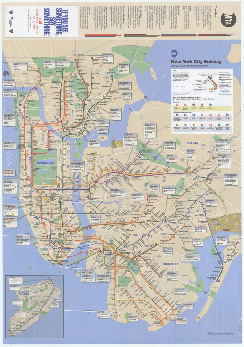
The map: MTA
The map: MTA
2014