Center for Brooklyn History
Map Collections
Search
About
Othmer Library & Archives
Submit search query
Refine 60 records
Clear filters
2
Location
Brooklyn (New York, N.Y.)
891
Brooklyn Heights (New York, N.Y.)
76
DUMBO Historic District (New York, N.Y.)
7
Essex County (N.J.)
4
Fort Brooklyn (New York, N.Y.)
1
Fort Washington (New York, N.Y.)
2
Hoboken (N.J.)
1
Hudson County (N.J.)
3
Jersey City (N.J.)
4
Kings County (New York, N.Y.)
8
Long Island (N.Y.)
197
Long Island, Battle of, New York, N.Y., 1776
4
Manhattan (New York, N.Y.)
120
Middlesex County (N.J.)
4
Morningside Heights (New York, N.Y.)
1
New Jersey
27
New York (N.Y.)
164
New York (State)
95
New York Harbor (N.Y. and N.J.)
16
New York Metropolitan Area
40
Queens (New York, N.Y.)
83
Raritan Bay (N.J. and N.Y.)
1
Saint Lawrence River
2
Sea Gate (New York, N.Y.)
7
Union County (N.J.)
1
United States
10
Wallabout Bay (New York, N.Y.)
6
Washington Heights (New York, N.Y.)
2
Westchester County (N.Y.)
11
Williamsburg (New York, N.Y.)
36
Show 10 more
Subject
Bays
5
Buildings
12
Canals
15
ferries
32
Fills (Earthwork)
4
Fires
1
Fortification
7
Geology
2
Harlem Heights, Battle of, N.Y.
1
Landforms
15
Landowners
434
Local transit
63
Manuscript Maps
2
Nautical charts
14
Piers
25
Ponds
6
Railroads
72
Real property
619
Rivers
16
Roads
117
Shorelines
3
Steam-navigation
1
Steamboats
1
Streets
46
Swamps
2
Wetlands
6
Show 6 more
Date
19th Century
945
or enter range:
from
to
Genres
Aerial views
15
Bathymetric maps
94
Broadsides
33
Cadastral maps
597
Early maps
35
Early works
3
Facsimiles
1
Historical maps
53
Manuscript maps
365
Map
191
Military maps
23
Nautical charts
30
Pictorial maps
38
Road maps
83
Statistical maps
8
Thematic maps
60
Topographic maps
70
Tourist maps
55
Transportation maps
120
Zoning maps
55
Sort by:
Date (earliest)
Date (most recent)
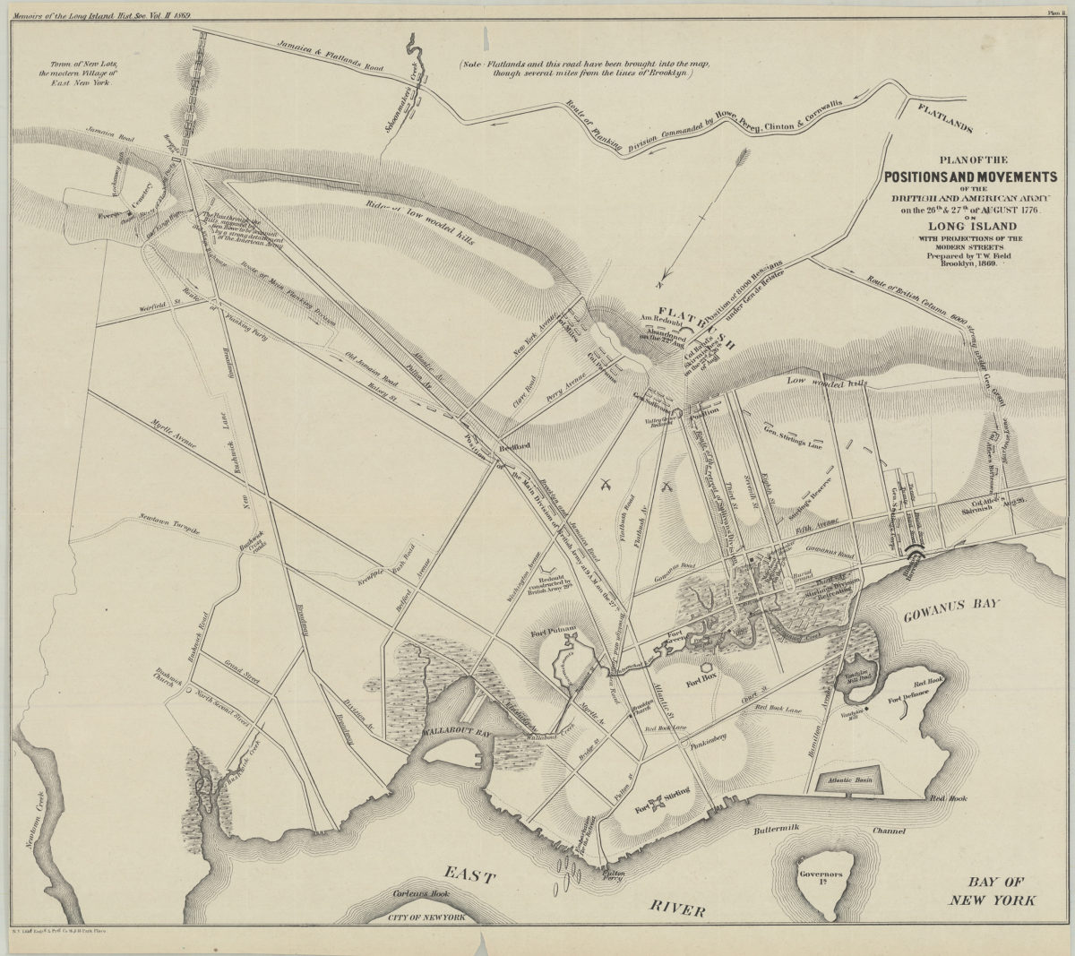
Plan of the positions and movements of the British and American army on the 26th & 27th of August 1776, on Long Island, with projects of the modern streets: prepared by T.W. Field
Plan of the positions and movements of the British and American army on the 26th & 27th of August 1776, on Long Island, with projects of the modern streets: prepared by T.W. Field
1869
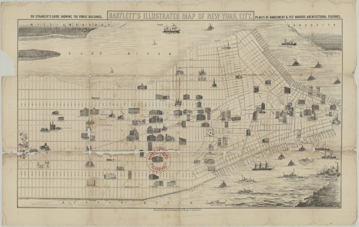
Bartlett’s illustrated map of New York City, or stranger’s guide showing the public buildings, places of amusement and its various architectural features
Bartlett’s illustrated map of New York City, or stranger’s guide showing the public buildings, places of amusement and its various architectural features
[1870]
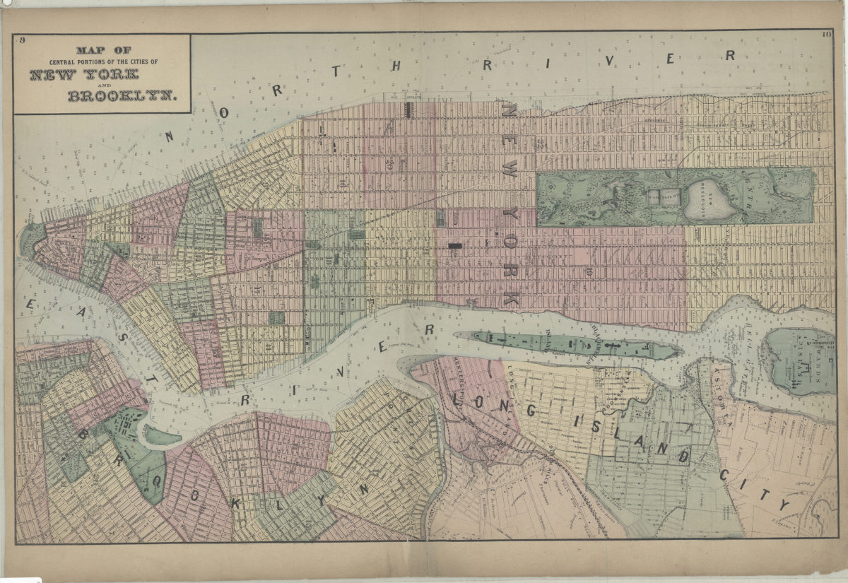
Map of central portions of the cities of New York and Brooklyn
Map of central portions of the cities of New York and Brooklyn
[1873]
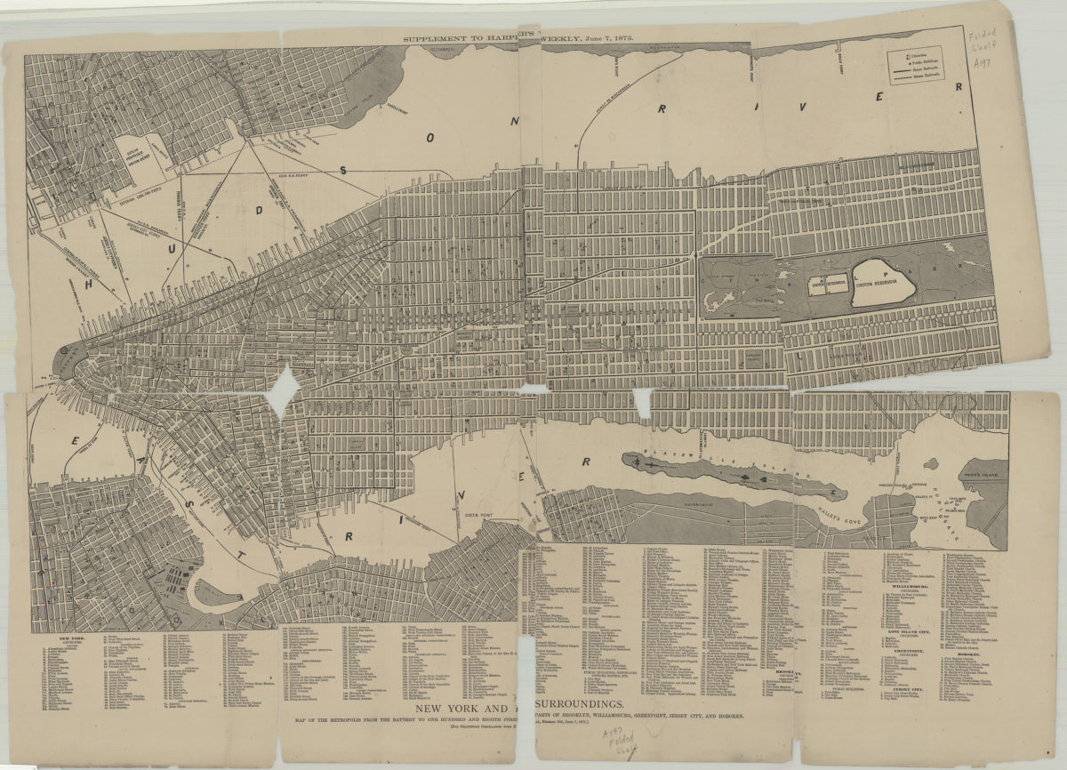
New York and its surroundings: map of the metropolis from the Battery to One Hundred and Eighth Street, and parts of Brooklyn, Williamsburg, Greenpoint, Jersey City, and Hoboken
New York and its surroundings: map of the metropolis from the Battery to One Hundred and Eighth Street, and parts of Brooklyn, Williamsburg, Greenpoint, Jersey City, and Hoboken
1873
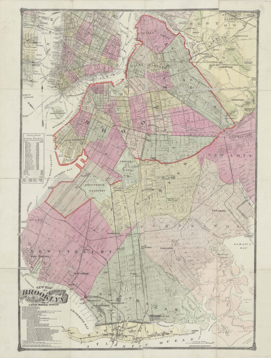
New map of Brooklyn including Kings Co., from the latest official surveys
New map of Brooklyn including Kings Co., from the latest official surveys
[ca. 1884]
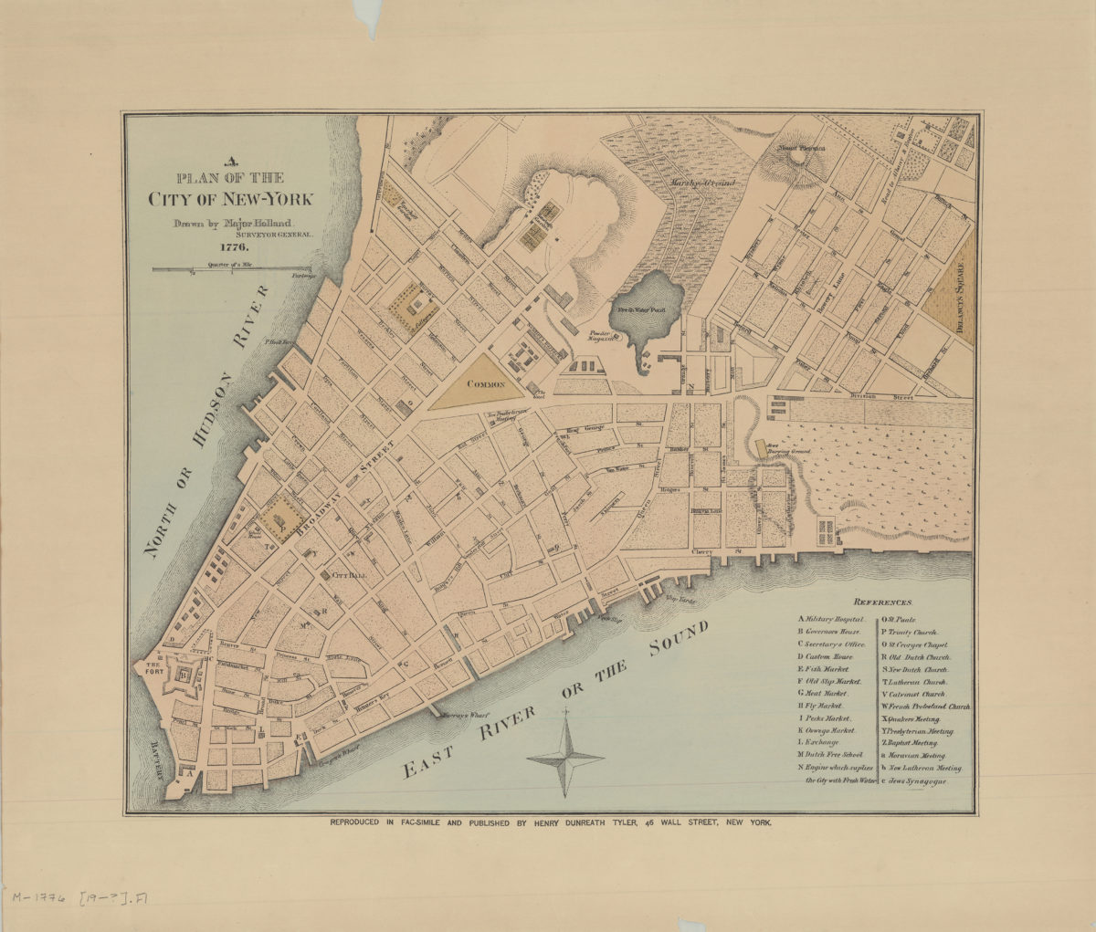
A plan of the city of New York: drawn by Major Holland, surveyor general
A plan of the city of New York: drawn by Major Holland, surveyor general
[189?]
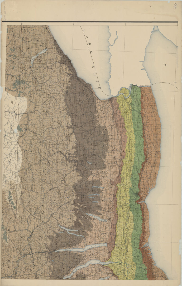
Preliminary geologic map of New York, exhibiting the structure of the state so far as known: Geological Survey of the State of New York ; prepared under the direction of James Hall by W.J. McGee
Preliminary geologic map of New York, exhibiting the structure of the state so far as known: Geological Survey of the State of New York ; prepared under the direction of James Hall by W.J. McGee
1894
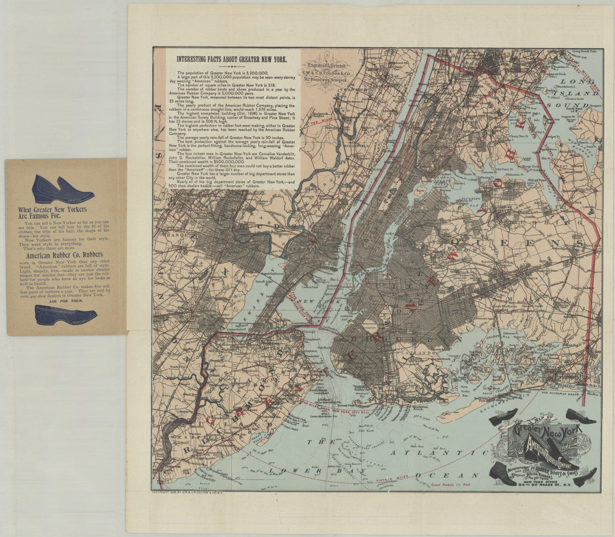
Pocket map of greater New York: showing the good roads in and about greater New York, together with a map of New York City proper
Pocket map of greater New York: showing the good roads in and about greater New York, together with a map of New York City proper
[ca. 1896]
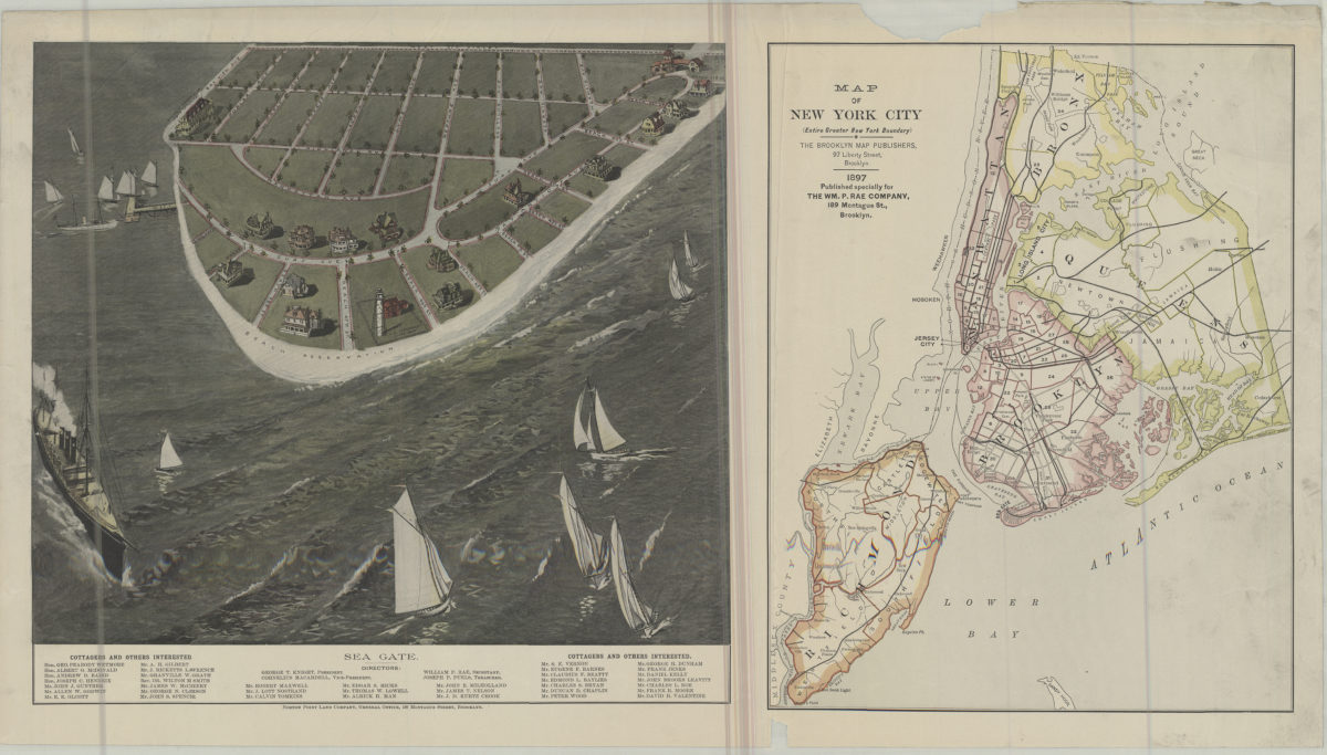
Map of New York City (entire greater New York boundary) ; Sea Gate
Map of New York City (entire greater New York boundary) ; Sea Gate
1897
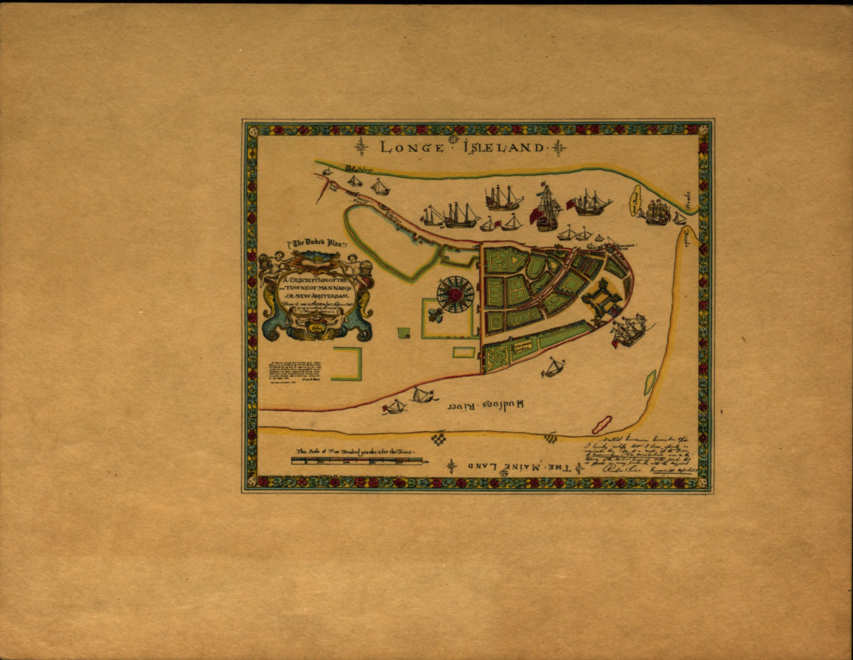
A description of the towne of Mannados or New Amsterdam: as it was in September 1661 lying in latitude 40 de. and 40 m. anno Domini 1664
A description of the towne of Mannados or New Amsterdam: as it was in September 1661 lying in latitude 40 de. and 40 m. anno Domini 1664
[1897]
Previous
1
2