Center for Brooklyn History
Map Collections
Search
About
Othmer Library & Archives
Submit search query
Refine 61 records
Clear filters
2
Location
Atlantic Coast (North America)
6
Bergen County (N.J.)
6
Block Island (R.I. : Island)
2
Bronx (New York, N.Y.)
10
Brooklyn (New York, N.Y.)
891
Coney Island (New York, N.Y.)
22
Connecticut
7
East River (N.Y.)
3
Fairfield County (Conn.)
5
Far Rockaway (New York, N.Y.)
2
Gardiners Bay (N.Y.)
1
Hell Gate (New York, N.Y.)
2
Hempstead (N.Y.)
13
Hudson River (N.Y. and N.J.)
7
Long Island (N.Y.)
197
Long Island Sound (N.Y. and Conn.)
12
Lower Bay (N.Y. and N.J.)
1
Maine, Gulf of
1
Manhattan (New York, N.Y.)
120
Nassau County (N.Y.)
24
New Jersey
27
New York (N.Y.)
164
New York (State)
95
New York Harbor (N.Y. and N.J.)
16
New York Region
5
Queens (New York, N.Y.)
83
Staten Island (N.Y.)
10
Suffolk County (N.Y.)
43
Upper Bay (N.Y. and N.J.)
4
Wallabout Bay (New York, N.Y.)
6
Westchester County (N.Y.)
11
Show 11 more
Subject
Bays
5
Coasts
4
Harbors
11
Nautical charts
14
Waterfronts
5
Date
20th Century
469
or enter range:
from
to
Genres
Bathymetric maps
94
Early maps
35
Loran charts
3
Nautical charts
30
Topographic maps
70
Sort by:
Date (earliest)
Date (most recent)
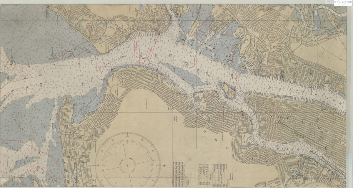
[Map of Mahattan south of Central Park, eastern edge of Brooklyn, southwest edge of New Jersey, and the nothwest edge of Staten Island]
[Map of Mahattan south of Central Park, eastern edge of Brooklyn, southwest edge of New Jersey, and the nothwest edge of Staten Island]
[19??]
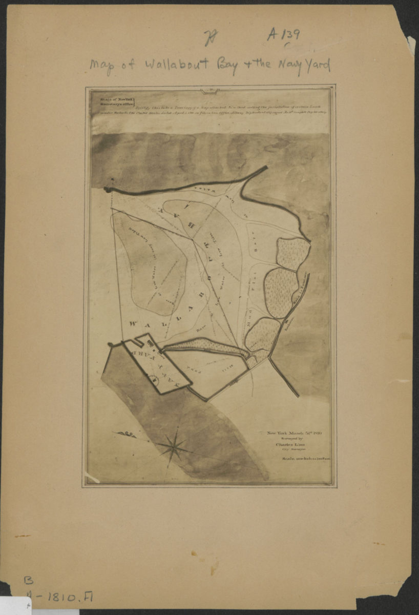
[Map of Wallabout Bay and the Brooklyn Navy Yard]: surveyed by Charles Loss, city surveyor, New York, March 31st, 1810
[Map of Wallabout Bay and the Brooklyn Navy Yard]: surveyed by Charles Loss, city surveyor, New York, March 31st, 1810
[19??]
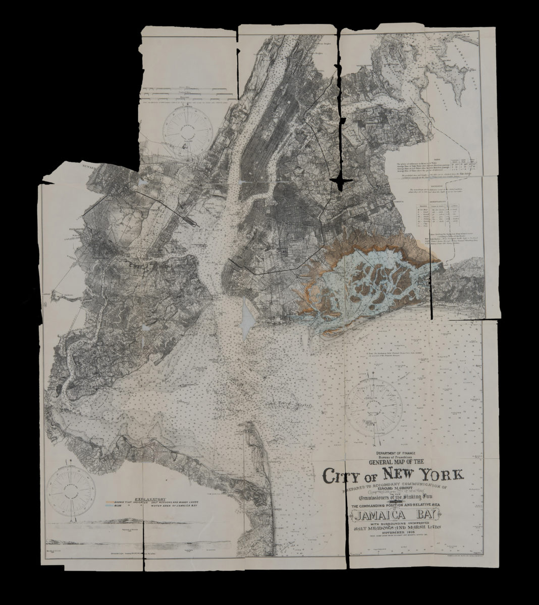
General map of the City of New York: prepared to accompany communication of Edward M. Grout, Comptroller of the City of New York, to the Commissioners of the Sinking Fund showing the commanding position and relative area of Jamaica Bay November 1905
General map of the City of New York: prepared to accompany communication of Edward M. Grout, Comptroller of the City of New York, to the Commissioners of the Sinking Fund showing the commanding position and relative area of Jamaica Bay November 1905
1905
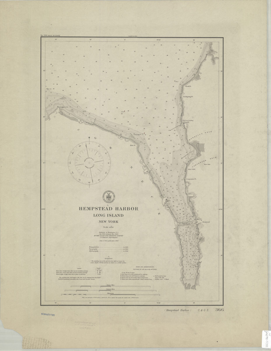
Hempstead Harbor, Long Island, New York
Hempstead Harbor, Long Island, New York
1909
Lawrence quadrangle, New York
Lawrence quadrangle, New York
[1966]
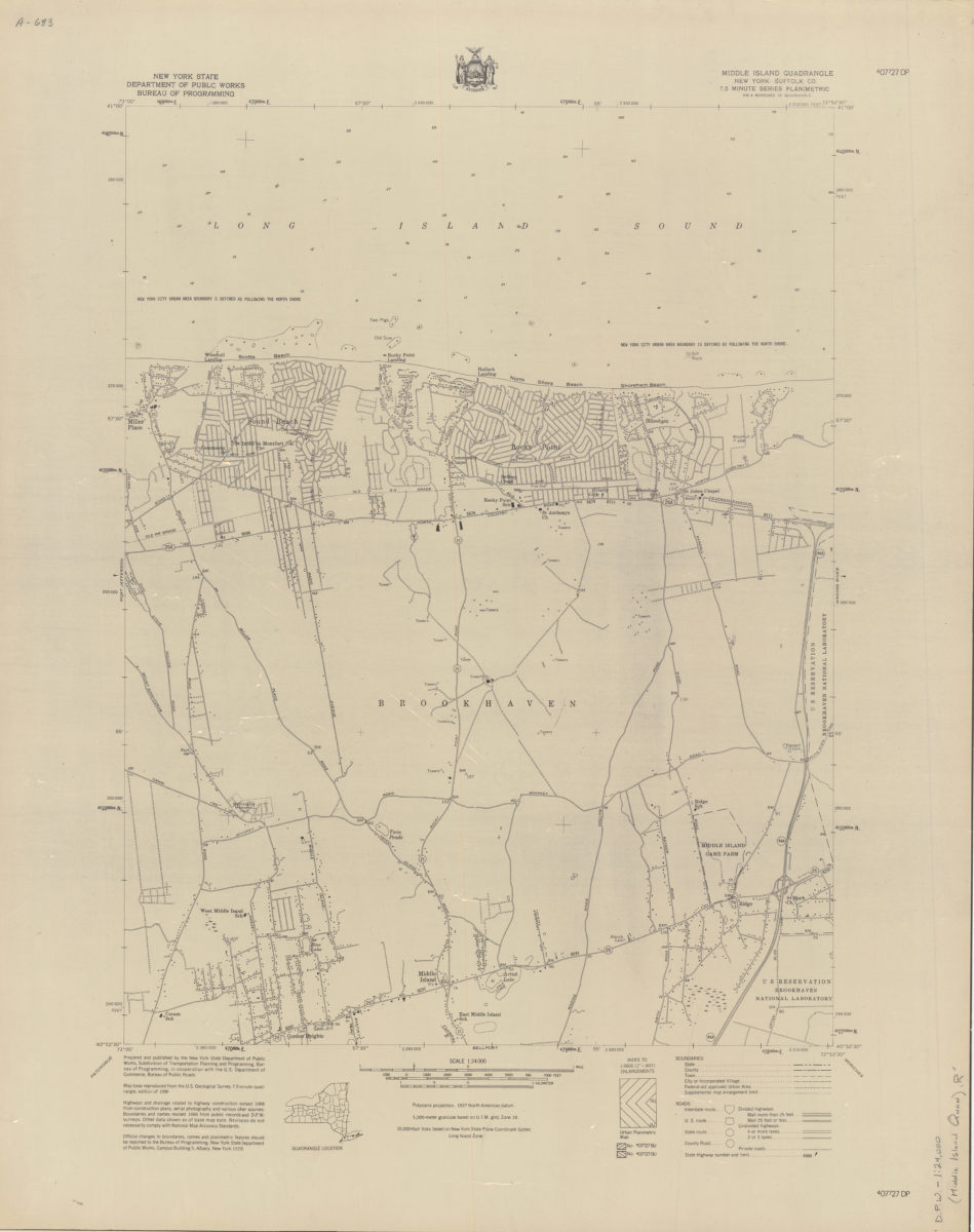
Middle Island quadrangle, New York–Suffolk Co
Middle Island quadrangle, New York–Suffolk Co
[1966]
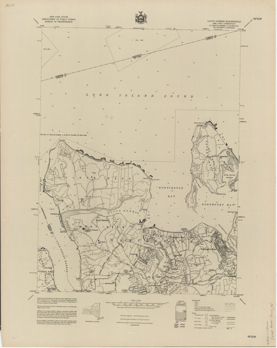
Lloyd Harbor quadrangle, New York–Connecticut
Lloyd Harbor quadrangle, New York–Connecticut
[1966]
Mattituck quadrangle, New York–Suffolk Co
Mattituck quadrangle, New York–Suffolk Co
[1966]
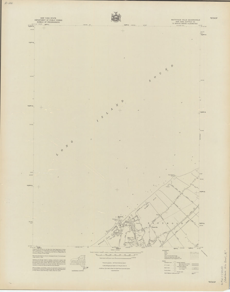
Mattituck Hills quadrangle, New York–Suffolk Co
Mattituck Hills quadrangle, New York–Suffolk Co
[1966]
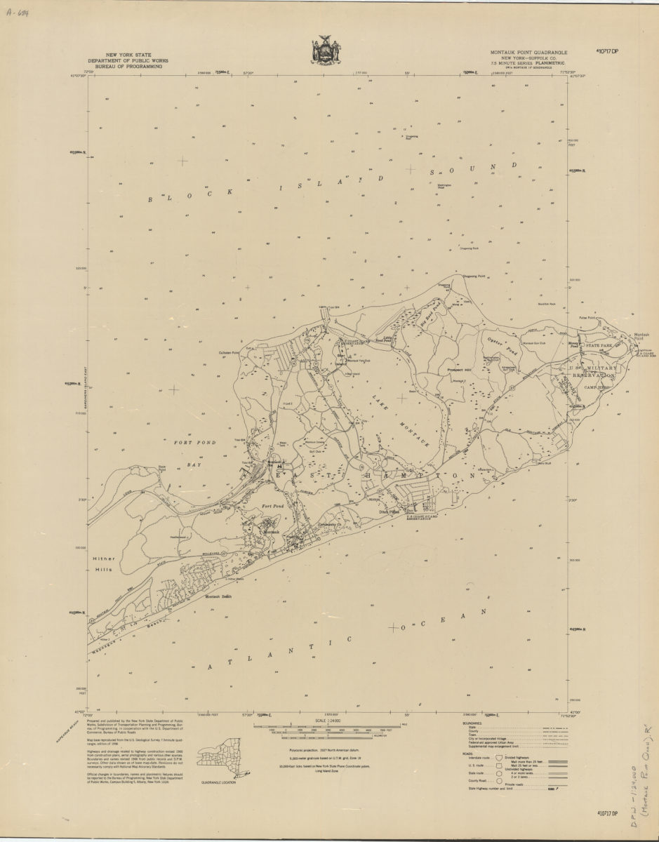
Montauk Point quadrangle, New York–Suffolk Co
Montauk Point quadrangle, New York–Suffolk Co
[1966]
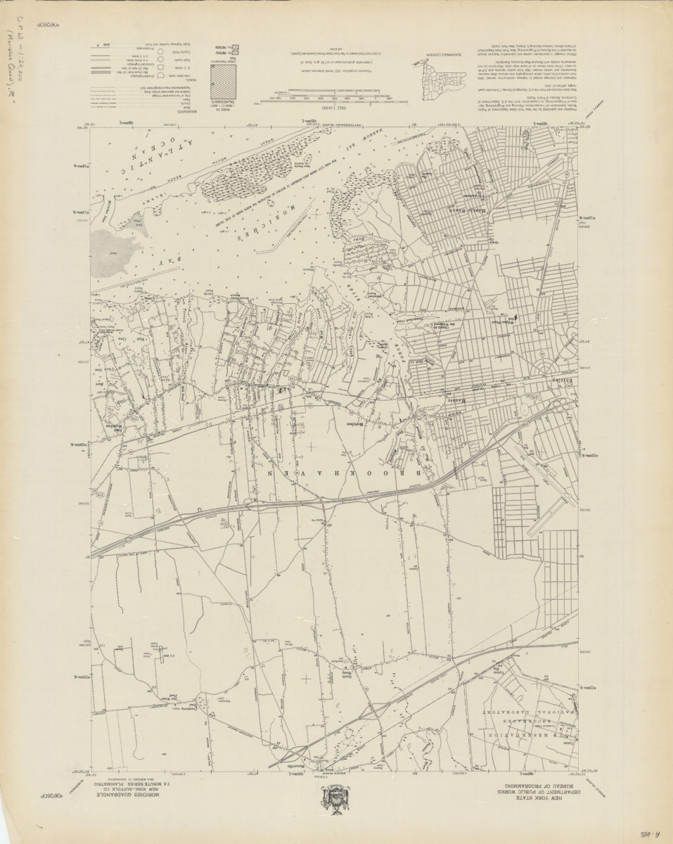
Moriches quadrangle, New York–Suffolk Co
Moriches quadrangle, New York–Suffolk Co
[1966]
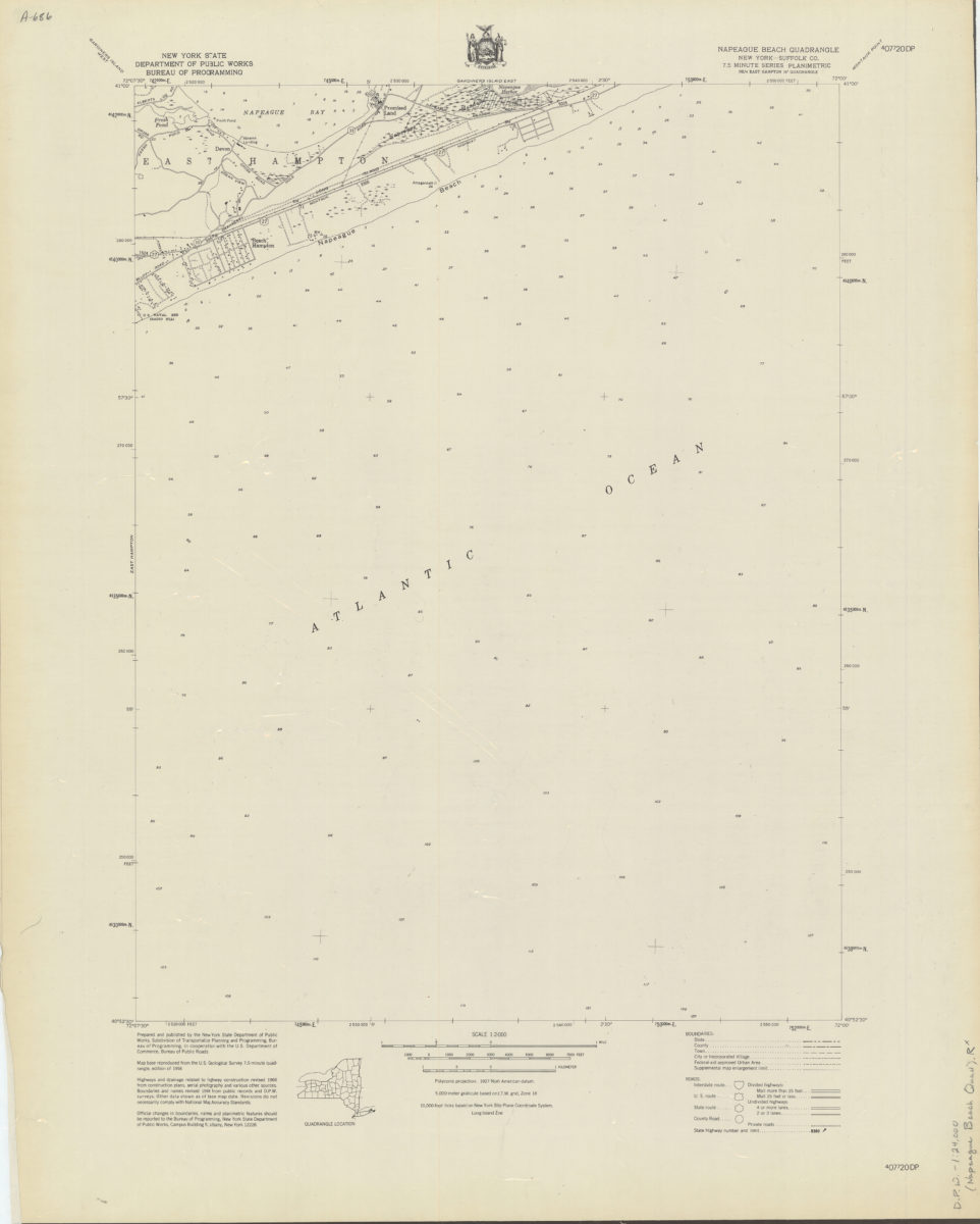
Napeague Beach quadrangle, New York–Suffolk Co
Napeague Beach quadrangle, New York–Suffolk Co
[1966]
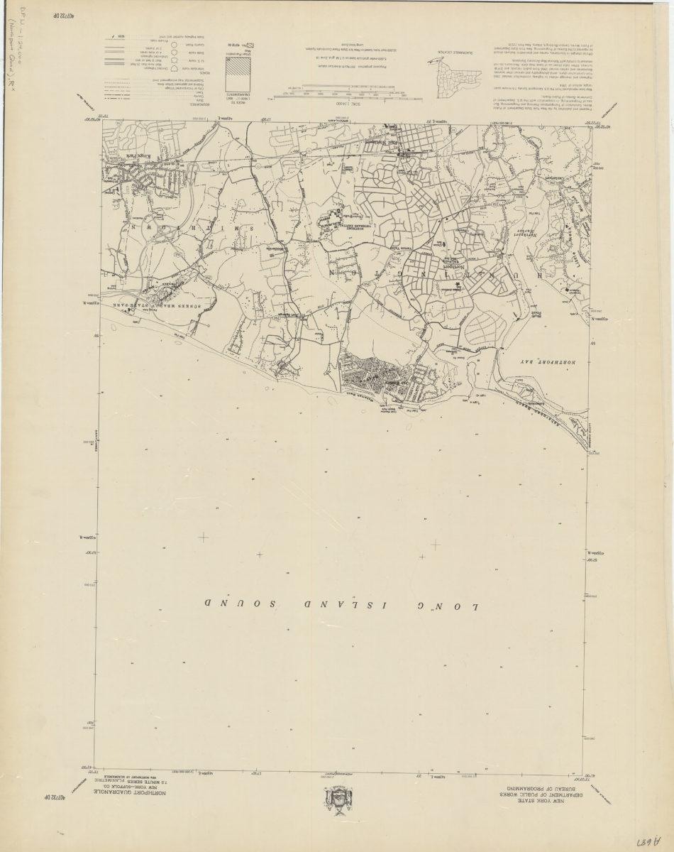
Northport quadrangle, New York–Suffolk Co
Northport quadrangle, New York–Suffolk Co
[1966]
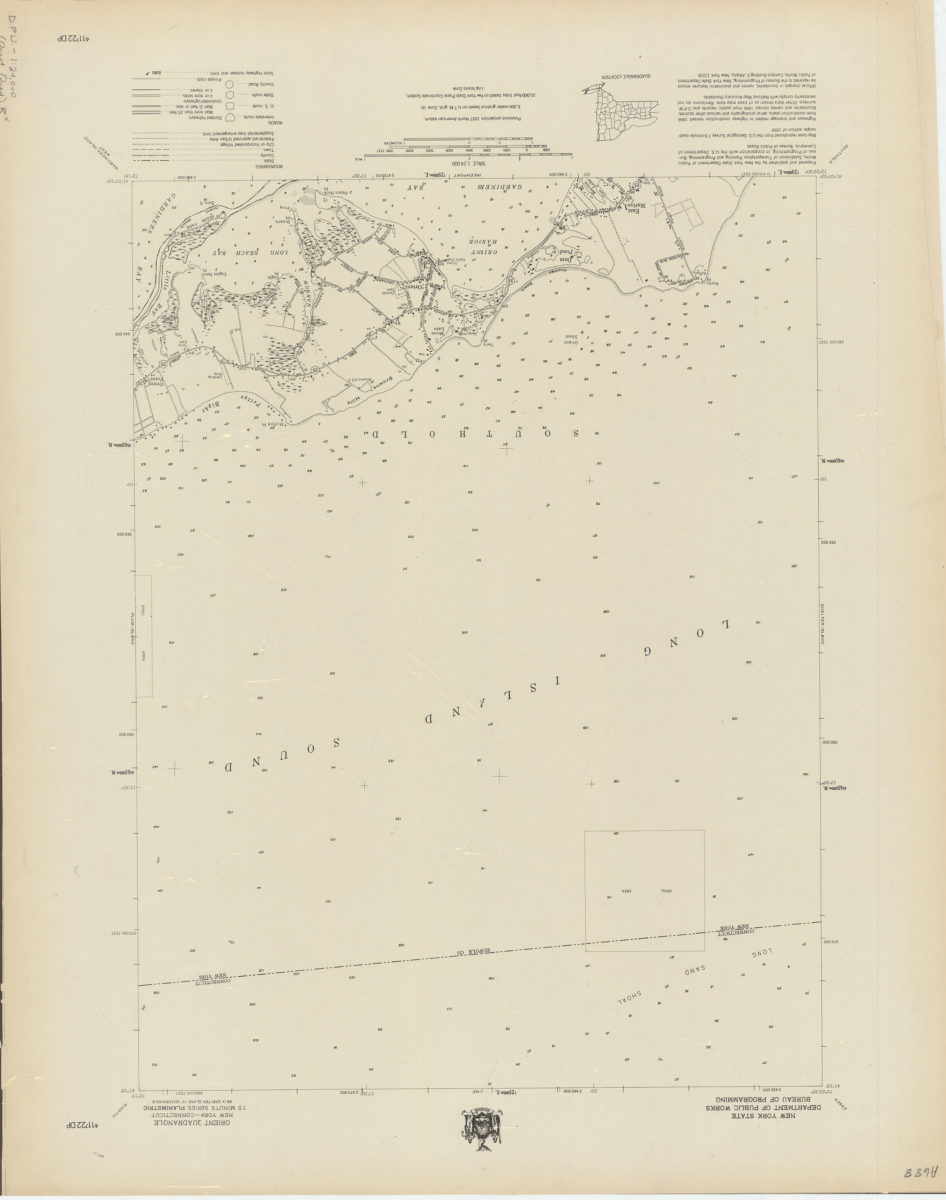
Orient quadrangle, New York–Connecticut
Orient quadrangle, New York–Connecticut
[1966]
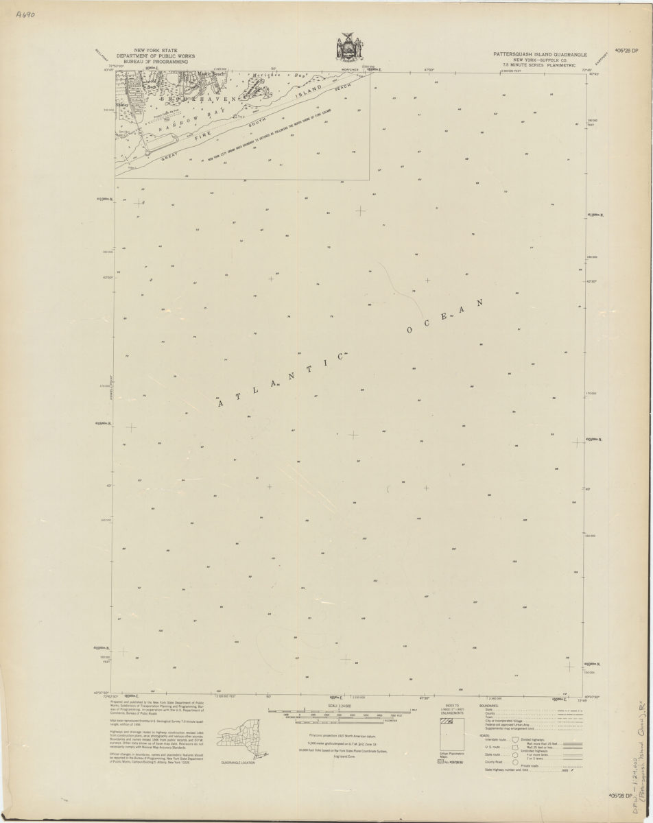
Pattersquash Island quadrangle, New York–Suffolk Co
Pattersquash Island quadrangle, New York–Suffolk Co
[1966]
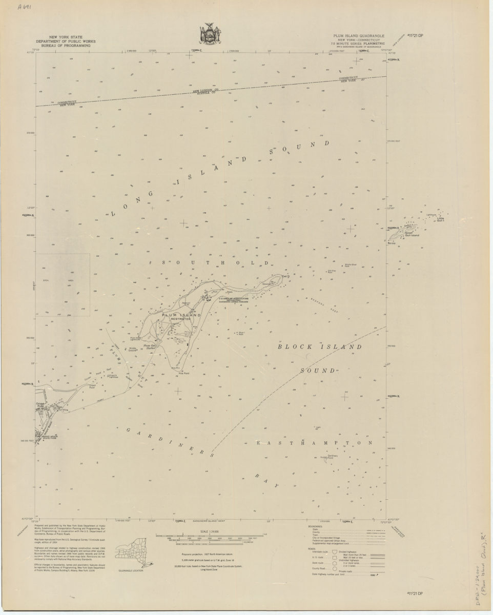
Plum Island quadrangle, New York–Connecticut
Plum Island quadrangle, New York–Connecticut
[1966]
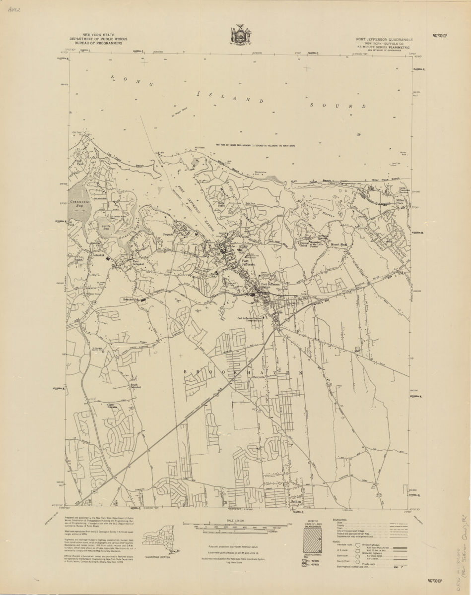
Port Jefferson quadrangle, New York–Suffolk Co
Port Jefferson quadrangle, New York–Suffolk Co
[1966]
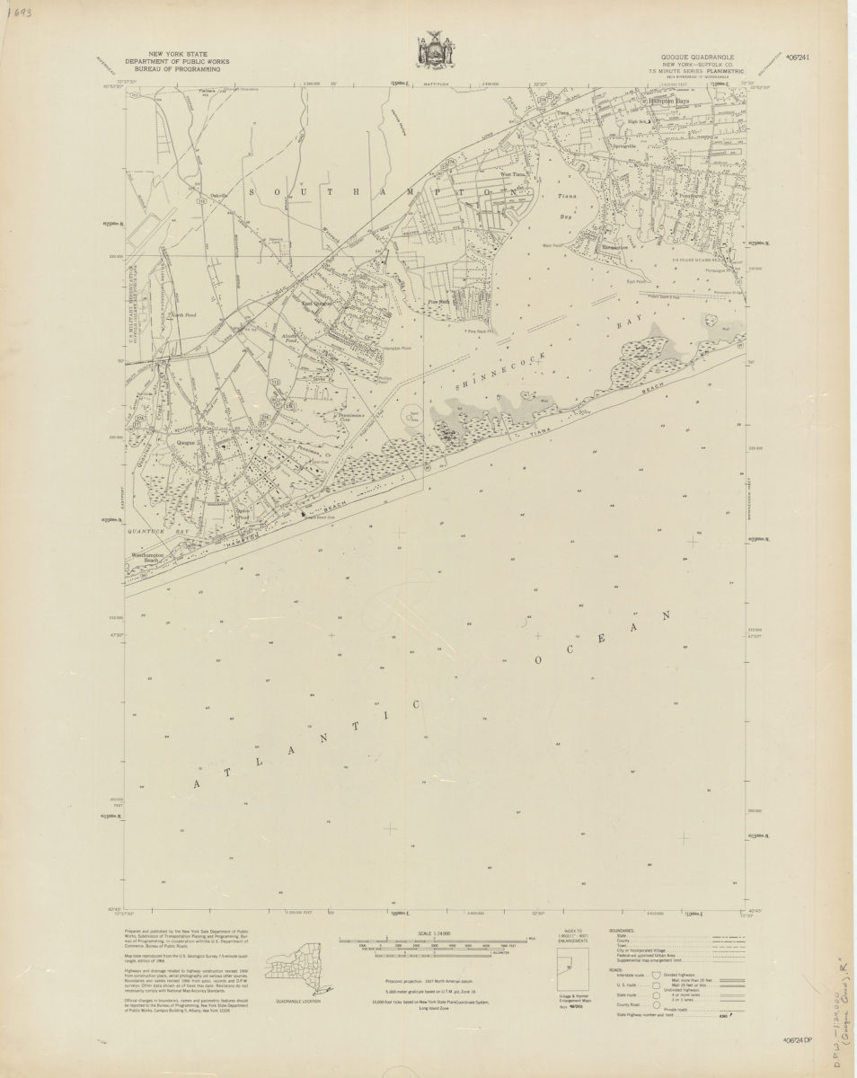
Quogue quadrangle, New York–Suffolk Co
Quogue quadrangle, New York–Suffolk Co
[1966]
Riverhead quadrangle, New York–Suffolk Co
Riverhead quadrangle, New York–Suffolk Co
[1966]
Sayville quadrangle, New York–Suffolk Co
Sayville quadrangle, New York–Suffolk Co
[1966]
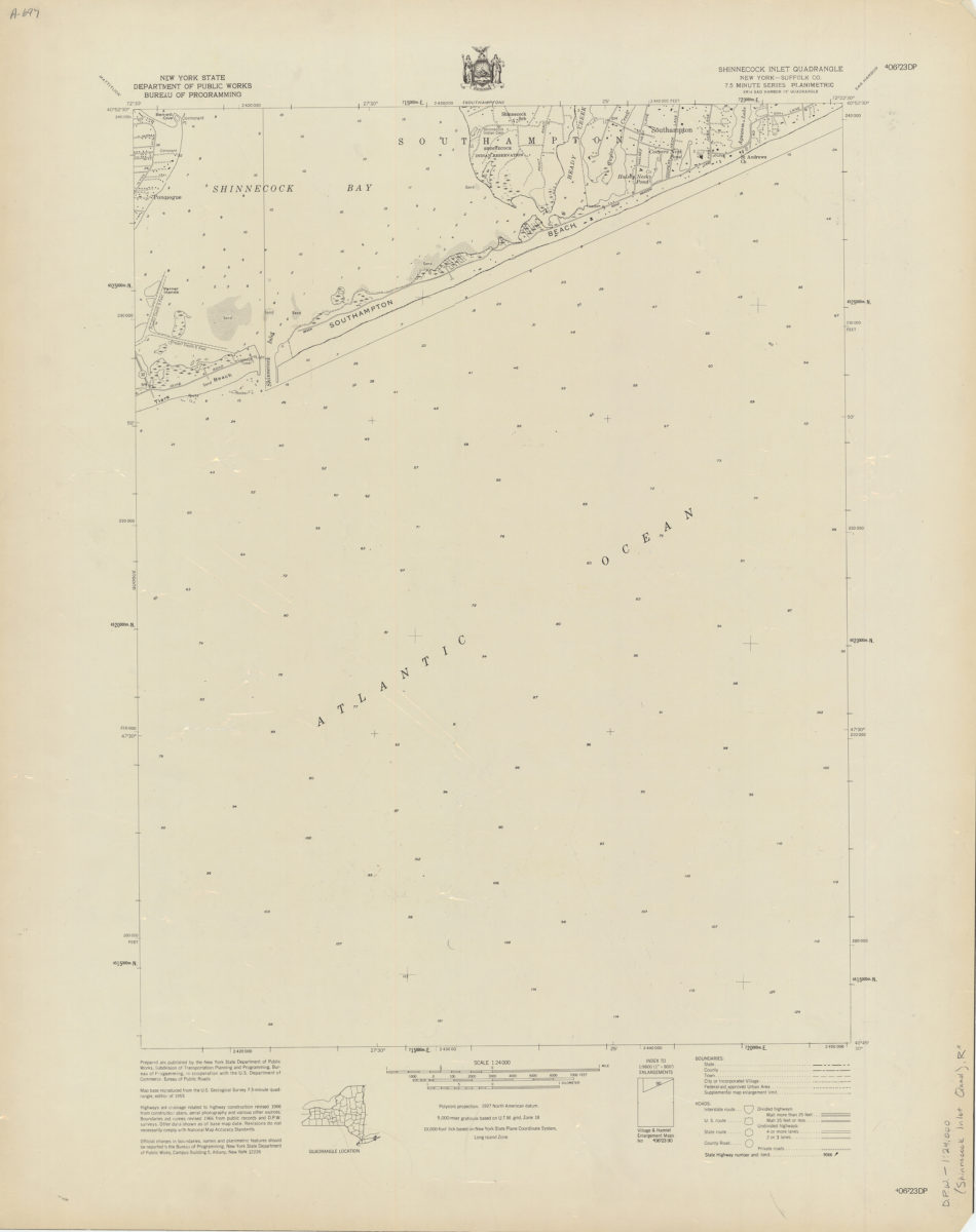
Shinnecock Inlet quadrangle, New York
Shinnecock Inlet quadrangle, New York
[1966]
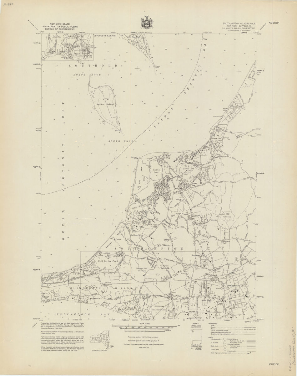
Southampton quadrangle, New York–Suffolk Co
Southampton quadrangle, New York–Suffolk Co
[1966]
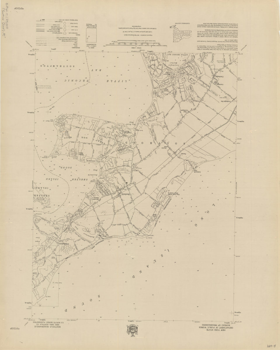
Southold quadrangle, New York–Suffolk Co
Southold quadrangle, New York–Suffolk Co
[1966]
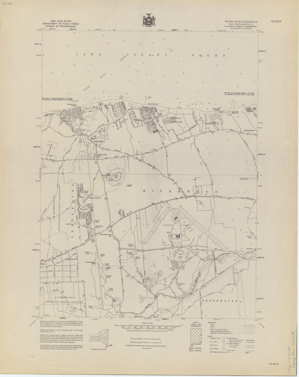
Wading River quadrangle, New York–Suffolk Co
Wading River quadrangle, New York–Suffolk Co
[1966]
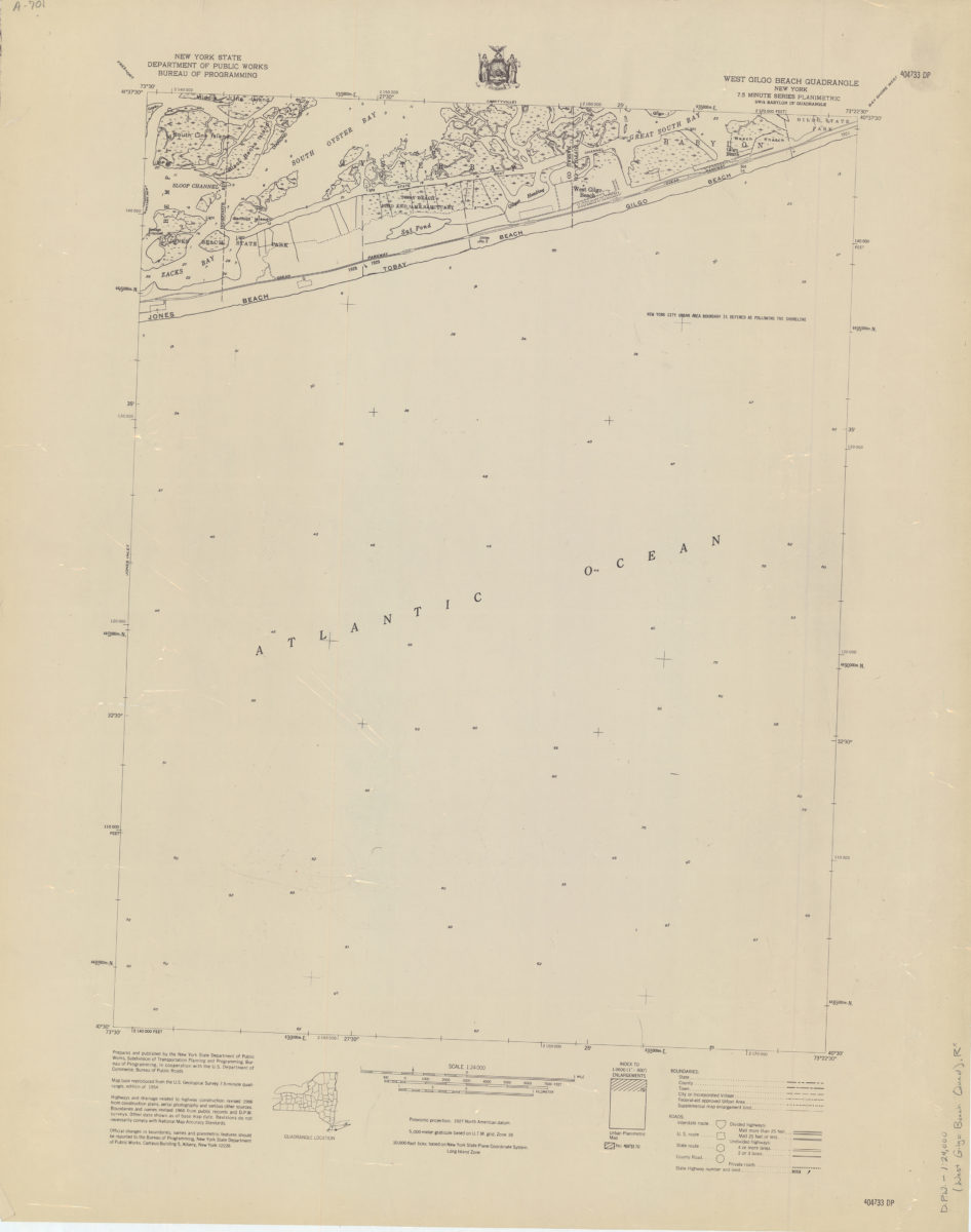
West Gilgo Beach quadrangle, New York
West Gilgo Beach quadrangle, New York
[1966]
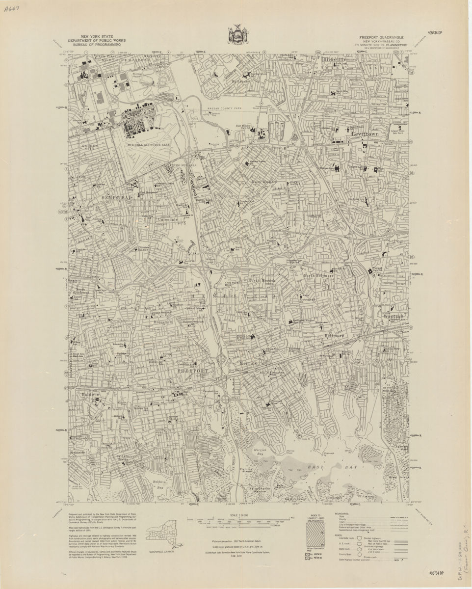
Freeport quadrangle, New York–Nassau Co
Freeport quadrangle, New York–Nassau Co
[1966]
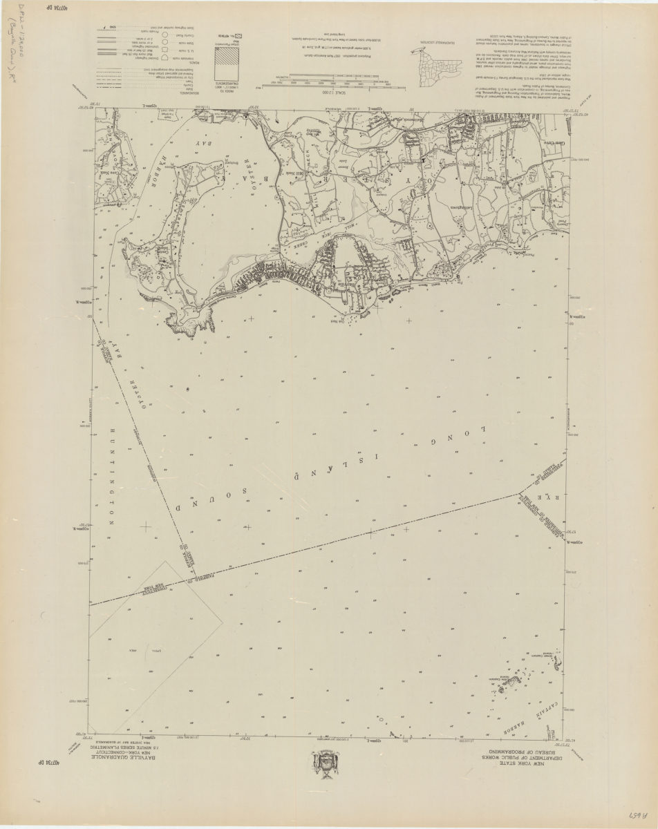
Bayville quadrangle, New York–Connecticut
Bayville quadrangle, New York–Connecticut
[1966]
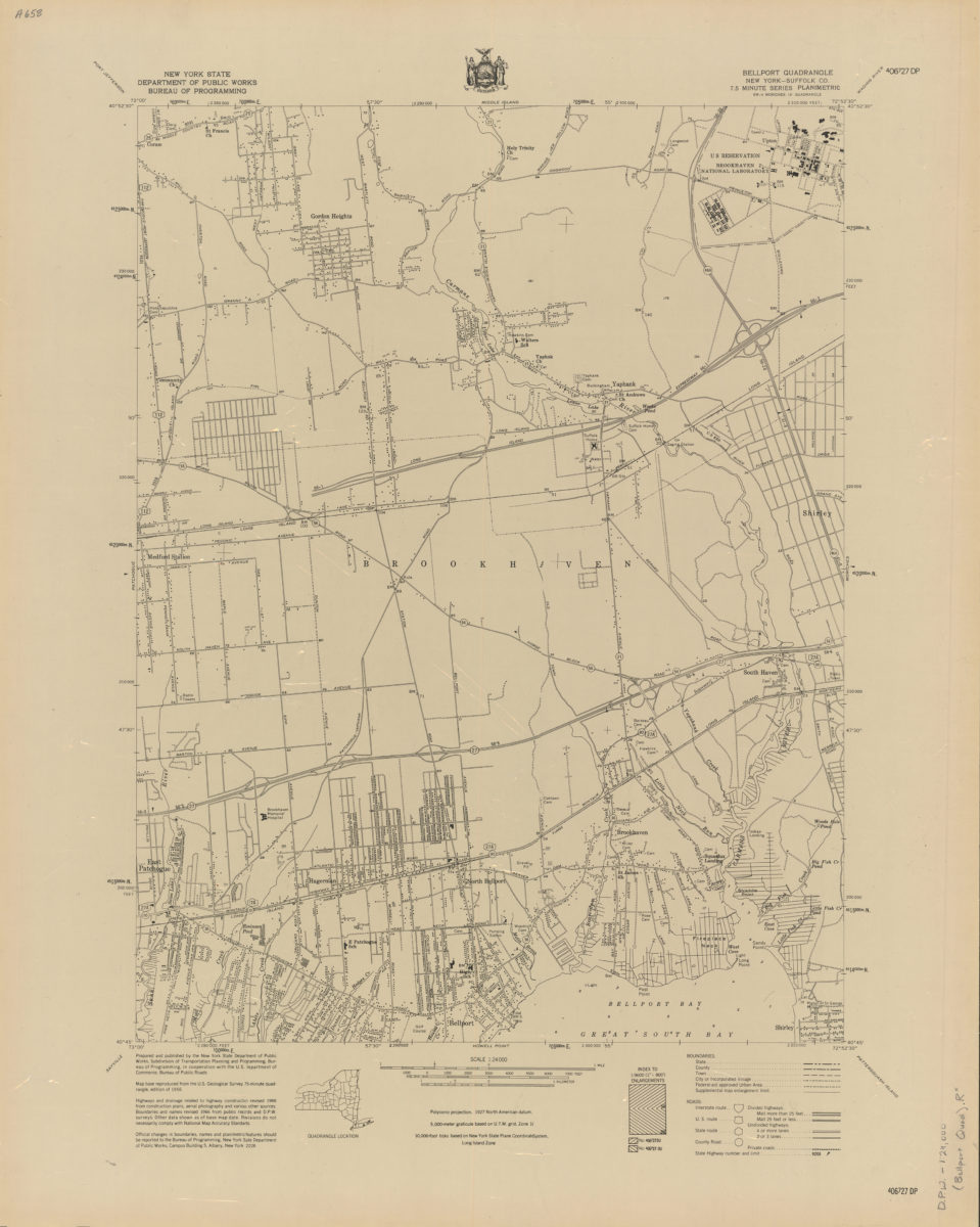
Belleport quadrangle, New York–Suffolk Co
Belleport quadrangle, New York–Suffolk Co
[1966]
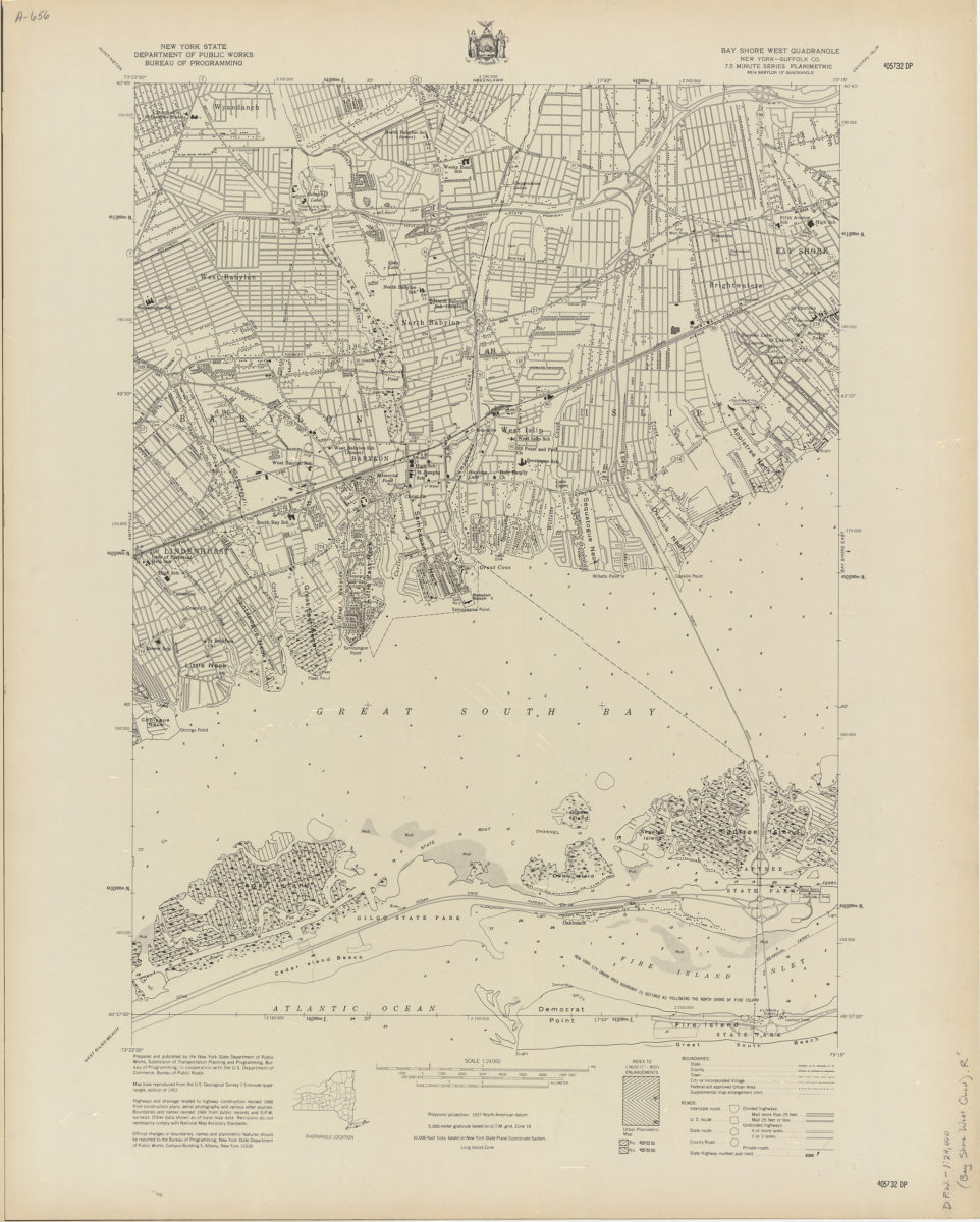
Bay Shore West quadrangle, New York–Suffolk Co
Bay Shore West quadrangle, New York–Suffolk Co
[1966]
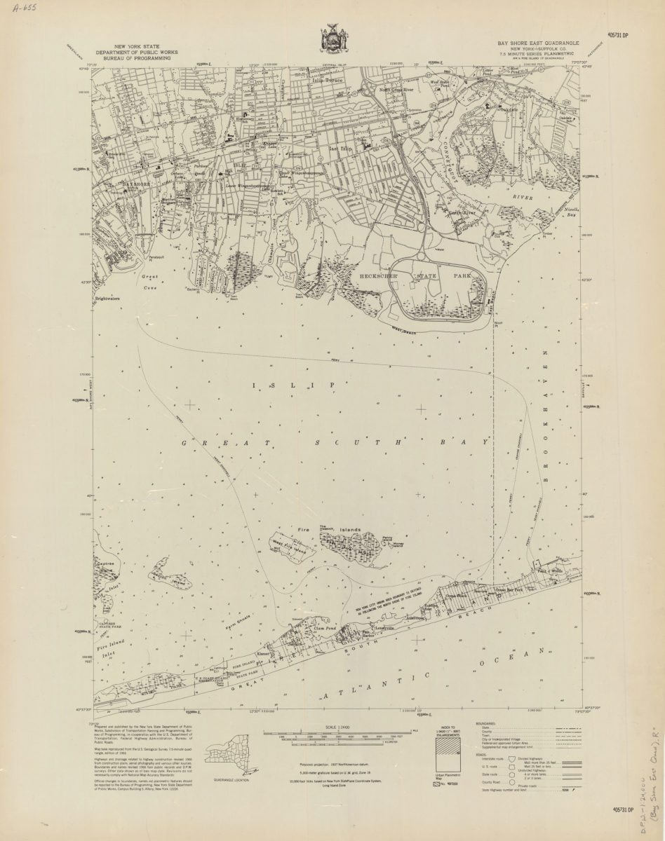
Bay Shore East quadrangle, New York–Suffolk Co
Bay Shore East quadrangle, New York–Suffolk Co
[1966]
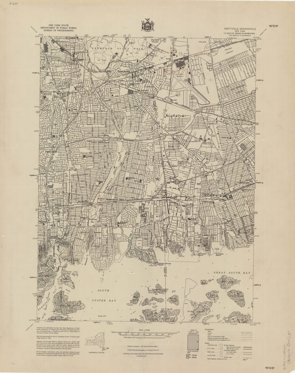
Amityville quadrangle, New York
Amityville quadrangle, New York
[1966]
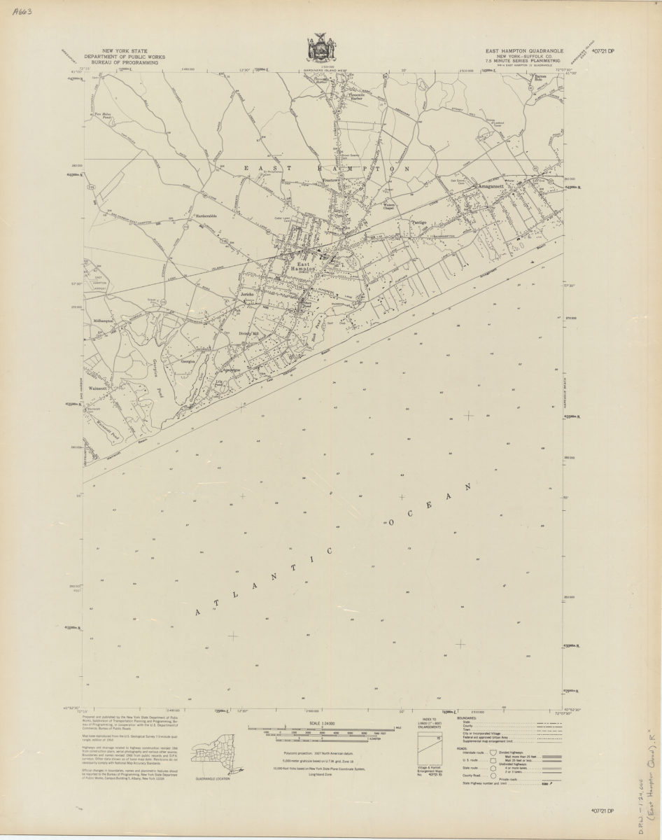
East Hampton quadrangle, New York–Suffolk Co
East Hampton quadrangle, New York–Suffolk Co
[1966]
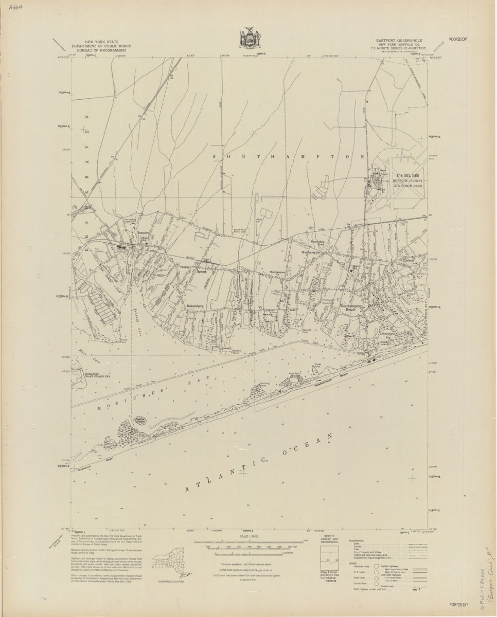
Eastport quadrangle, New York–Suffolk Co
Eastport quadrangle, New York–Suffolk Co
[1966]
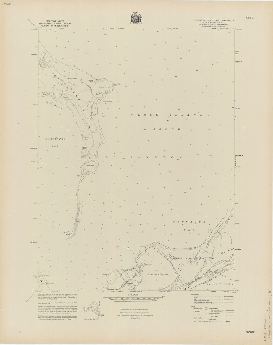
Gardiners Island East quadrangle, New York–Suffolk Co
Gardiners Island East quadrangle, New York–Suffolk Co
[1966]
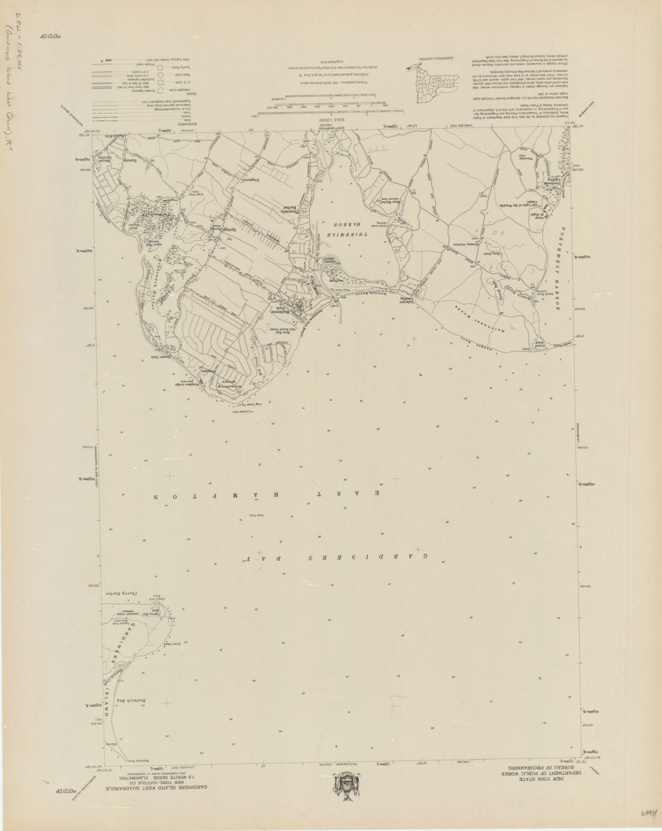
Gardiners Island West quadrangle, New York–Suffolk Co
Gardiners Island West quadrangle, New York–Suffolk Co
[1966]
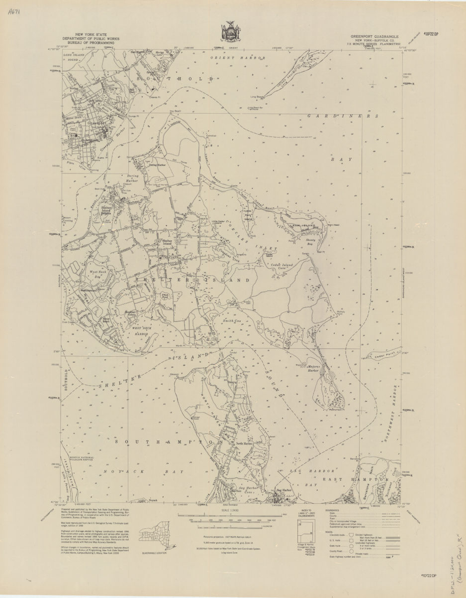
Greenport quadrangle, New York–Suffolk Co
Greenport quadrangle, New York–Suffolk Co
[1966]
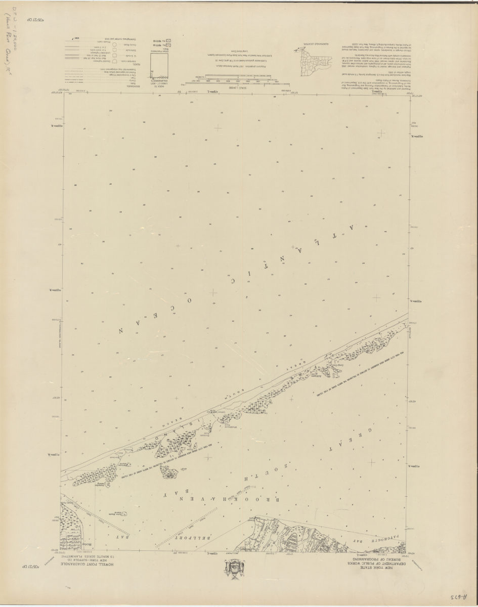
Howell Point quadrangle, New York–Suffolk Co
Howell Point quadrangle, New York–Suffolk Co
[1966]
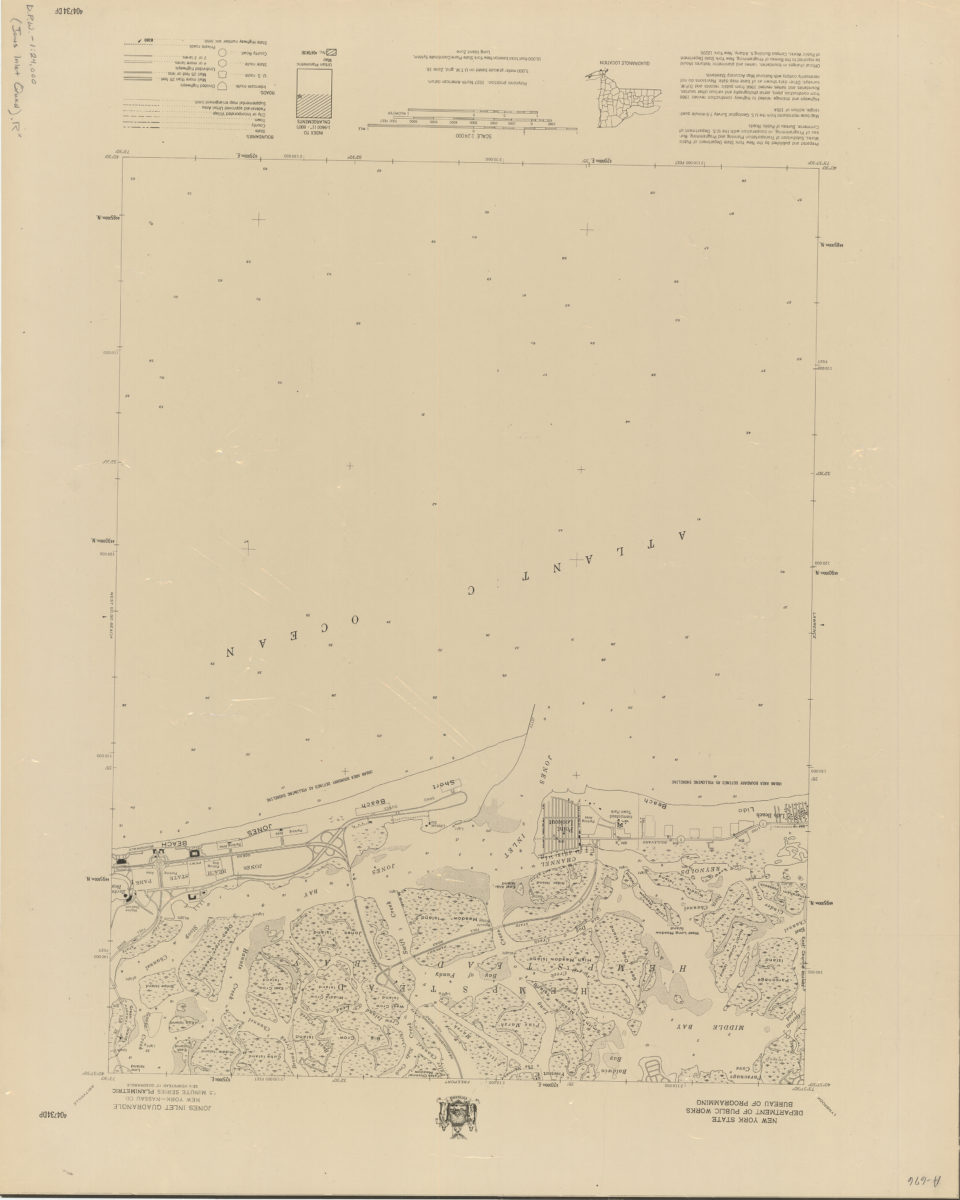
Jones Inlet quadrangle, New York–Nassau Co
Jones Inlet quadrangle, New York–Nassau Co
[1966]
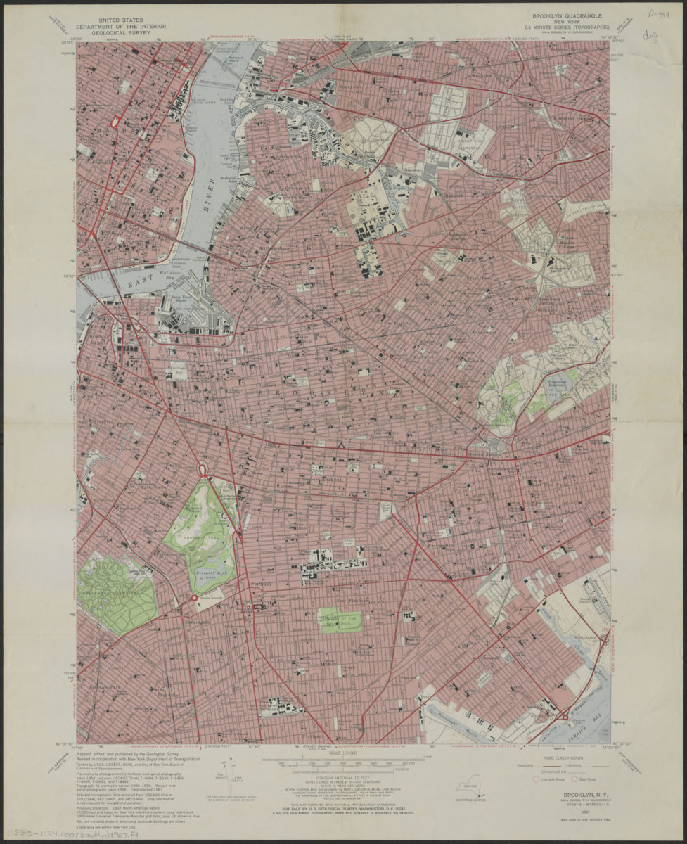
Brooklyn quadrangle, New York
Brooklyn quadrangle, New York
1967
Eaton’s Neck to New York Bay
Eaton’s Neck to New York Bay
[ca. 1968]
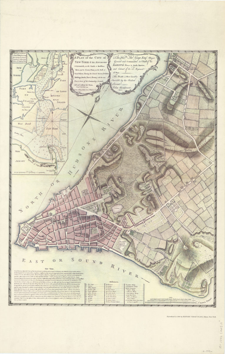
A plan of the city of New-York & its environs: to Greenwich, on the North or Hudsons River, and to Crown Point, on the East or Sound River, shewing [i.e. showing] the several streets, publick [i.e. public] buildings, docks, fort & battery
A plan of the city of New-York & its environs: to Greenwich, on the North or Hudsons River, and to Crown Point, on the East or Sound River, shewing [i.e. showing] the several streets, publick [i.e. public] buildings, docks, fort & battery
1968
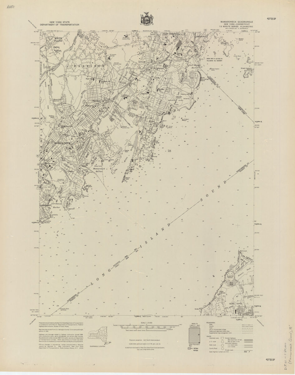
Mamaroneck quadrangle, New York–Connecticut
Mamaroneck quadrangle, New York–Connecticut
[1968]
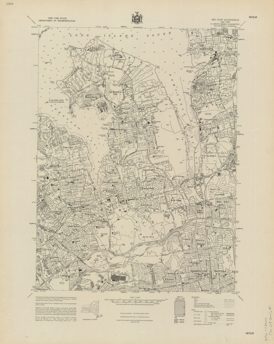
Sea Cliff quadrangle, New York
Sea Cliff quadrangle, New York
[1968]
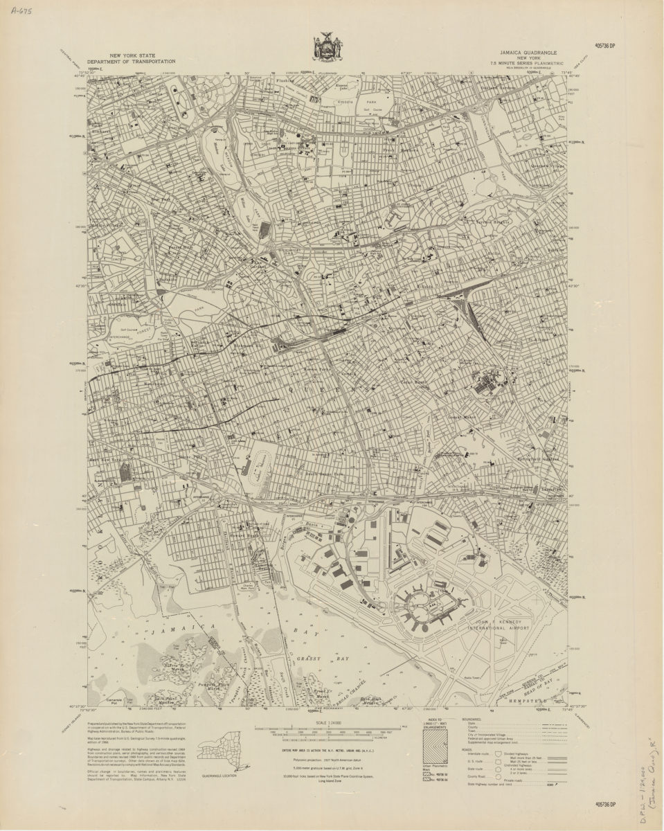
Jamaica quadrangle, New York
Jamaica quadrangle, New York
[1969]
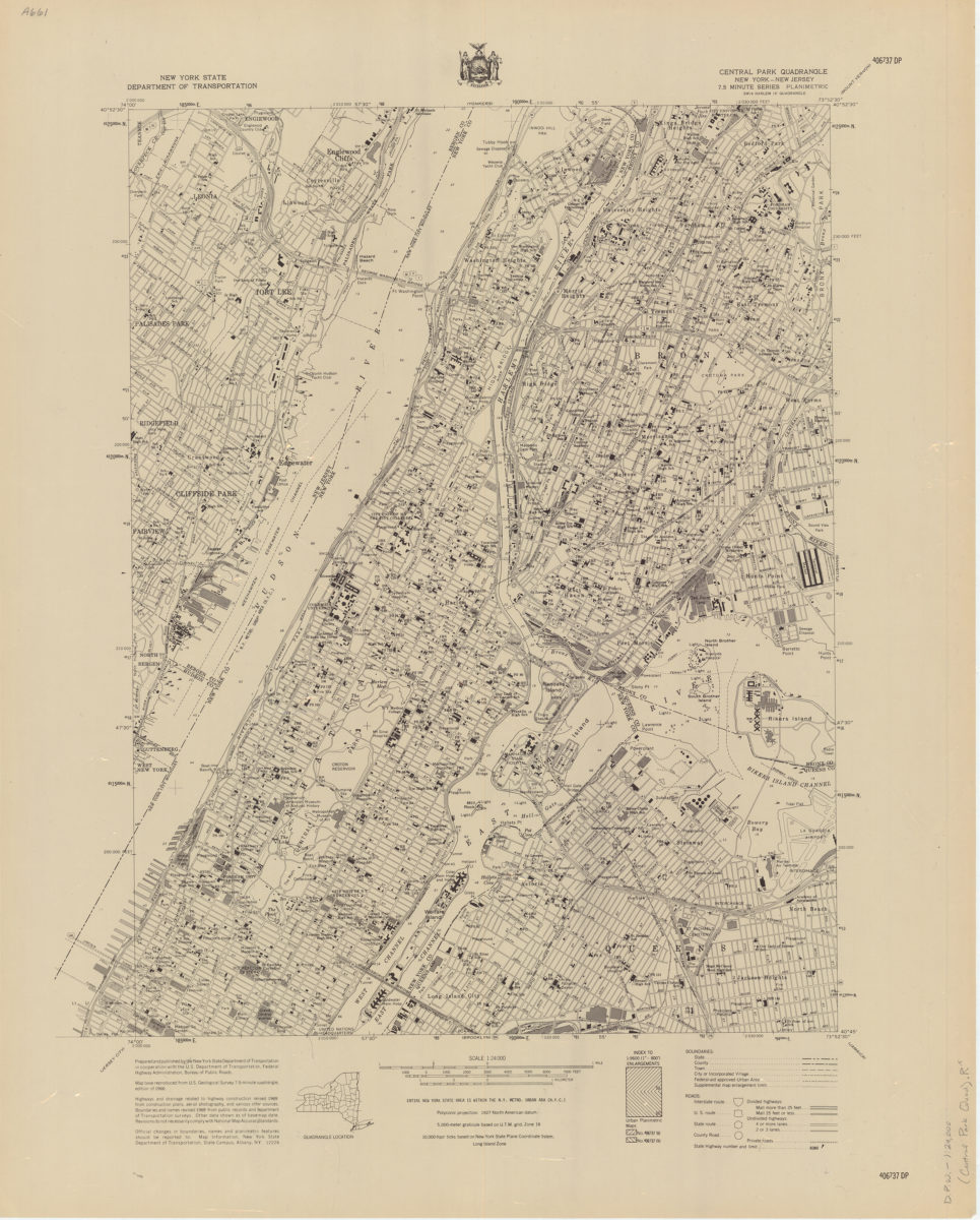
Central Park quadrangle, New York
Central Park quadrangle, New York
[1969]
Coney Island quadrangle, New York–New Jersey
Coney Island quadrangle, New York–New Jersey
[1969]
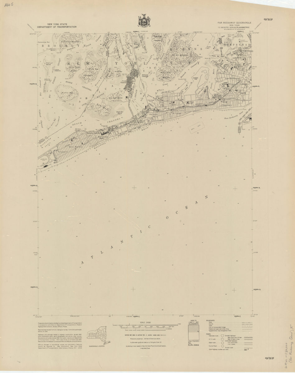
Far Rockaway quadrangle, New York
Far Rockaway quadrangle, New York
[1969]
Flushing quadrangle, New York
Flushing quadrangle, New York
[1969]
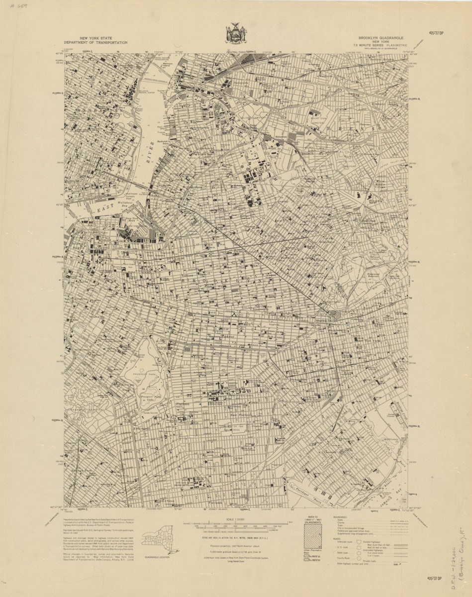
Brooklyn quadrangle, New York
Brooklyn quadrangle, New York
[1969]
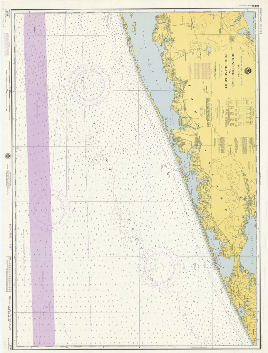
United States–east coast–New York, Shinnecock Light to Fire Island Light: National Ocean Survey
United States–east coast–New York, Shinnecock Light to Fire Island Light: National Ocean Survey
1974
1
2
Next