Center for Brooklyn History
Map Collections
Search
About
Othmer Library & Archives
Submit search query
Refine 197 records
Clear filter
1
Location
Babylon (N.Y. : Town)
2
Block Island (R.I. : Island)
2
Bridgehampton (N.Y.)
1
Brightwaters (N.Y.)
1
Brookhaven (N.Y. : Town)
3
Brookhaven (N.Y.)
2
Brooklyn (New York, N.Y.)
891
Cold Spring Harbor (N.Y.)
1
Connecticut
7
East Hampton (N.Y.)
1
East Patchogue (N.Y.)
1
Elmont (N.Y.)
1
Fairfield County (Conn.)
5
Freeport (N.Y.)
1
Glen Cove (N.Y.)
1
Great Neck (N.Y.)
3
Greenport (N.Y.)
1
Hempstead (N.Y.)
13
Hicksville (N.Y.)
1
Huntington (N.Y.)
7
Islip (N.Y.)
5
Jamaica (New York, N.Y.)
8
Lakeland (N.Y.)
1
Lawrence Beach (N.Y.)
1
Lloyd Harbor (N.Y.)
1
Long Island (N.Y.)
197
Long Island Sound (N.Y. and Conn.)
12
Manhattan (New York, N.Y.)
120
Mattituck (N.Y.)
1
Miller Place (N.Y.)
1
Mineola (N.Y.)
1
Montauk (N.Y.)
4
Napeague Bay (N.Y.)
1
Nassau County (N.Y.)
24
New Jersey
27
New York (N.Y.)
164
New York (State)
95
New York Metropolitan Area
40
North Hempstead (N.Y. : Town)
4
Northport Bay (N.Y. : Bay)
1
Noyack (N.Y.)
1
Ocean Beach (N.Y.)
1
Orient (N.Y.)
1
Oyster Bay (N.Y.)
9
Patchogue (N.Y.)
2
Pearsalls (N.Y.)
1
Port Jefferson (N.Y.)
1
Port Washington (N.Y.)
1
Queens (New York, N.Y.)
83
Quiogue (N.Y.)
1
Riverhead (N.Y.)
3
Rockville Centre (N.Y.)
2
Rosevale (N.Y.)
2
Roslyn (N.Y.)
3
Roslyn Harbor (N.Y.)
1
Roslyn Highlands (N.Y.)
1
Sag Harbor (N.Y.)
2
Saltaire (N.Y.)
1
Sayville (N.Y.)
1
Sea Cliff (N.Y.)
1
Shelter Island (N.Y.)
2
Smithtown (N.Y. : Town)
4
Southampton (N.Y.)
5
Southold (N.Y.)
4
Stony Brook (N.Y.)
1
Suffolk (N.Y.)
1
Suffolk County (N.Y.)
43
United States
10
Westchester County (N.Y.)
11
Westhampton Beach (N.Y.)
1
Woodhaven (New York, N.Y.)
1
Yaphank (N.Y.)
1
Show 52 more
Subject
African Americans
1
Auctions
32
Automobile racing
1
Bays
5
Bicycle trails
17
Canals
15
Coasts
4
Country clubs
1
Election districts
36
Electric railroads
5
ferries
32
Fortification
7
Golf courses
2
Golf resorts
1
Harbors
11
Historic sites
3
Ice sheets
1
Indian land transfers
1
Indians of North America
6
Land titles
1
Landowners
434
Long Island, Battle of, New York, N.Y. , 1776
7
Names, Personal
1
Nautical charts
14
Parishes
1
Railroads
72
Real property
619
Recreation
5
Riparian rights
13
Road maps
2
Roads
117
Steamboat lines
4
Street addresses
11
Streets
46
Submerged lands
17
Trials
1
Waterworks
5
Wells
2
Yacht clubs
1
Zip codes
4
Show 20 more
Date
18th Century
12
19th Century
945
20th Century
469
21th Century
66
or enter range:
from
to
Genres
Advertisements
30
Bathymetric maps
94
Broadsides
33
Cadastral maps
597
Early maps
35
Historical maps
53
History
2
Manuscript maps
365
Map
191
Military maps
23
Nautical charts
30
Pictorial maps
38
Public utility maps
15
Road
1
Road maps
83
Statistical maps
8
Thematic maps
60
Topographic maps
70
Tourist maps
55
Transportation maps
120
Zoning maps
55
Show 1 more
Sort by:
Date (earliest)
Date (most recent)
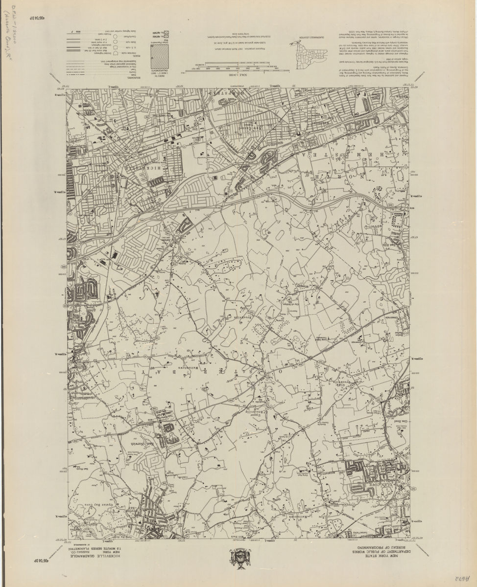
Hicksville quadrangle, New York–Nassau Co
Hicksville quadrangle, New York–Nassau Co
[1966]
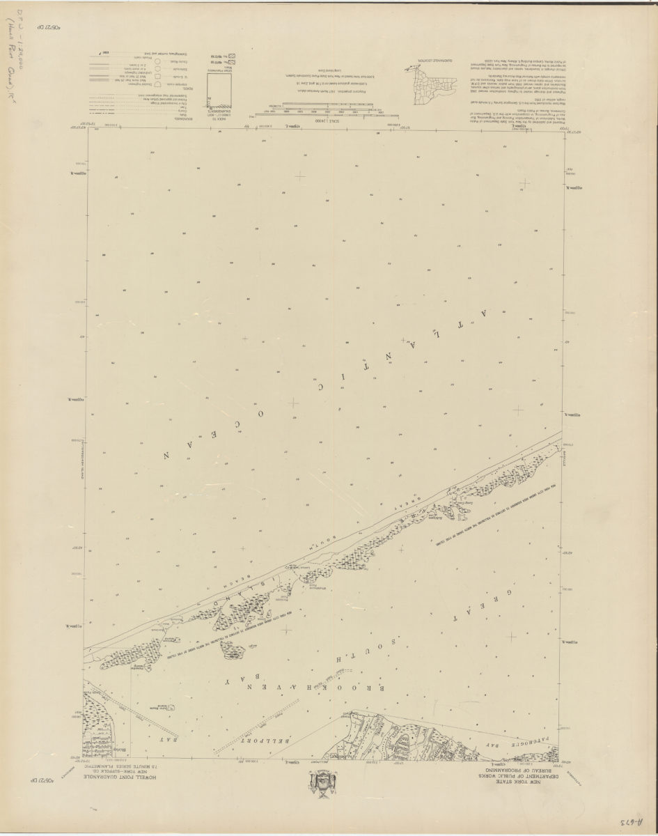
Howell Point quadrangle, New York–Suffolk Co
Howell Point quadrangle, New York–Suffolk Co
[1966]
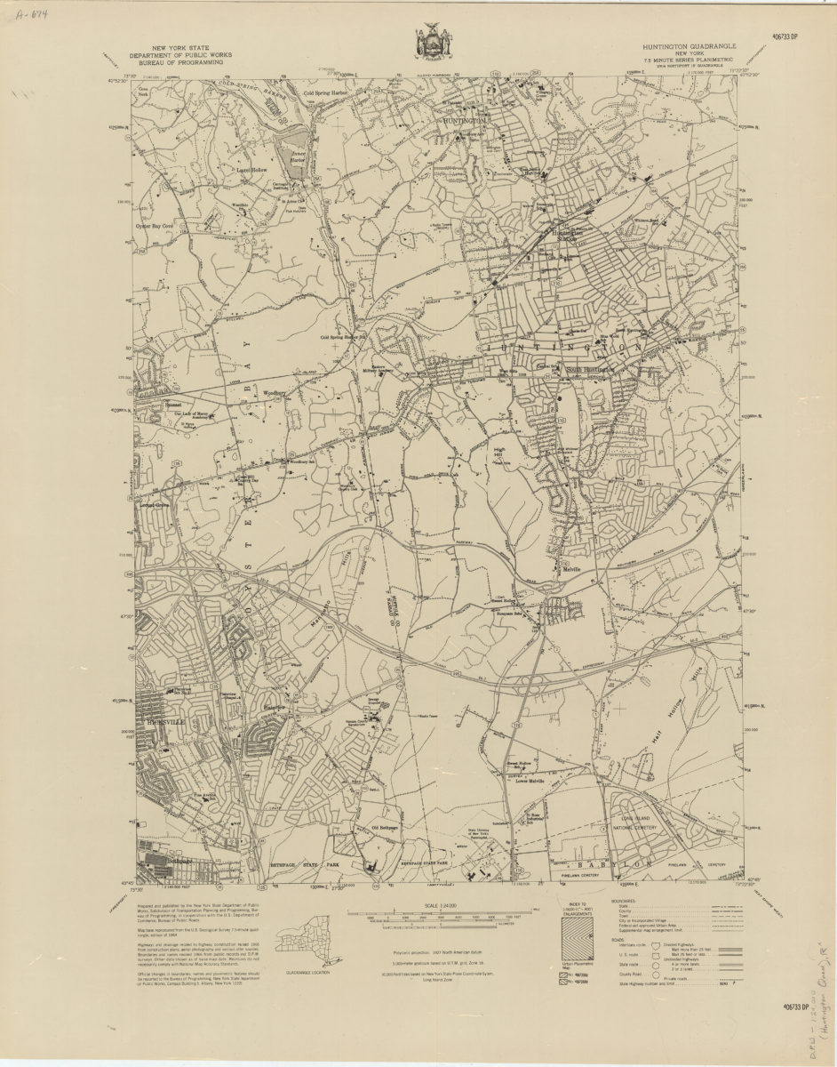
Huntington quadrangle, New York
Huntington quadrangle, New York
[1966]
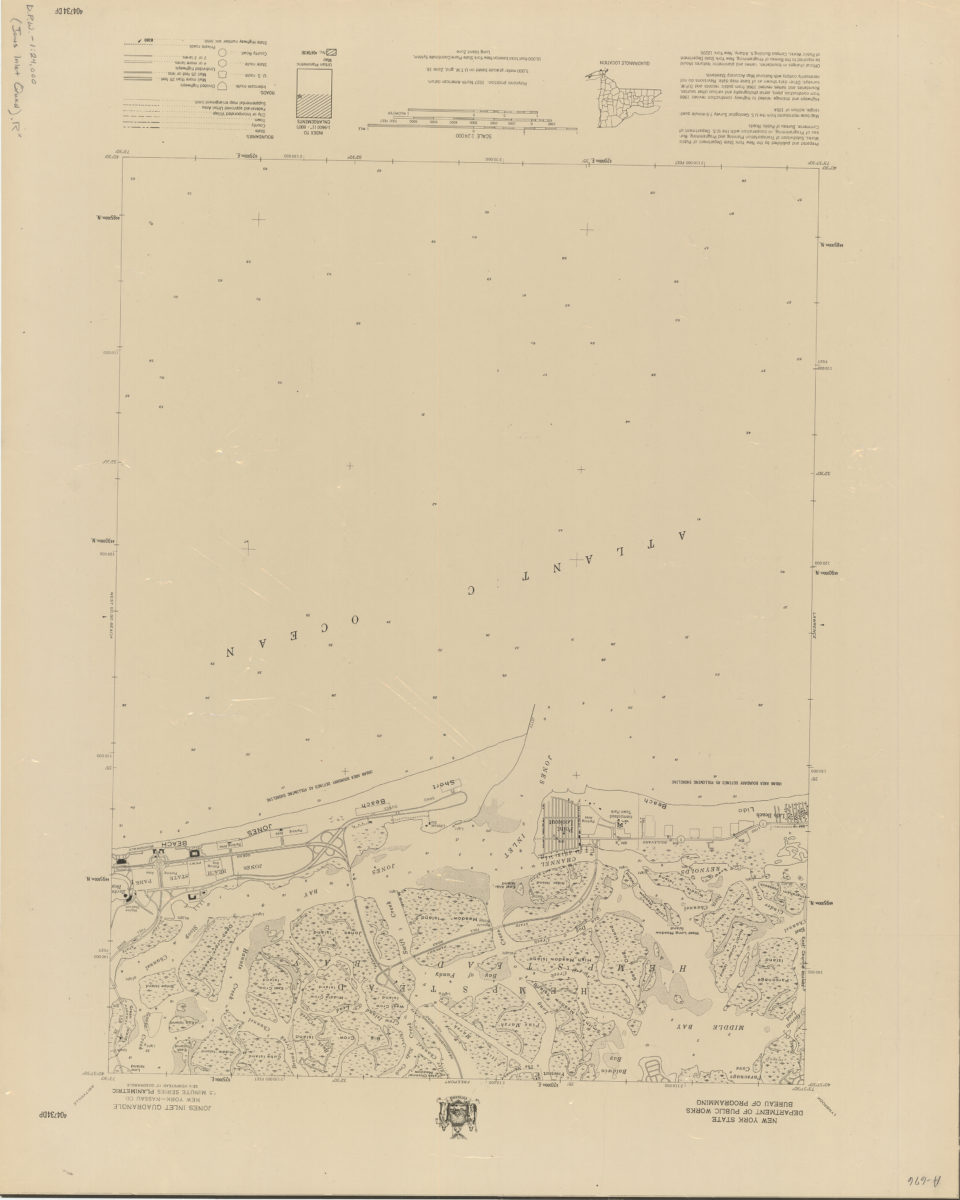
Jones Inlet quadrangle, New York–Nassau Co
Jones Inlet quadrangle, New York–Nassau Co
[1966]
Lawrence quadrangle, New York
Lawrence quadrangle, New York
[1966]
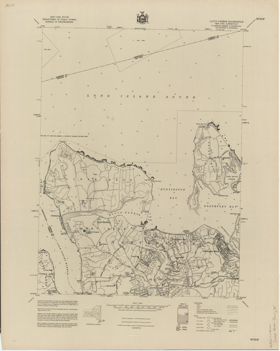
Lloyd Harbor quadrangle, New York–Connecticut
Lloyd Harbor quadrangle, New York–Connecticut
[1966]
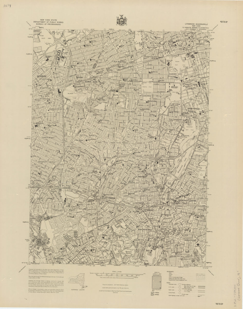
Lynbrook quadrangle, New York
Lynbrook quadrangle, New York
[1966]
Mattituck quadrangle, New York–Suffolk Co
Mattituck quadrangle, New York–Suffolk Co
[1966]
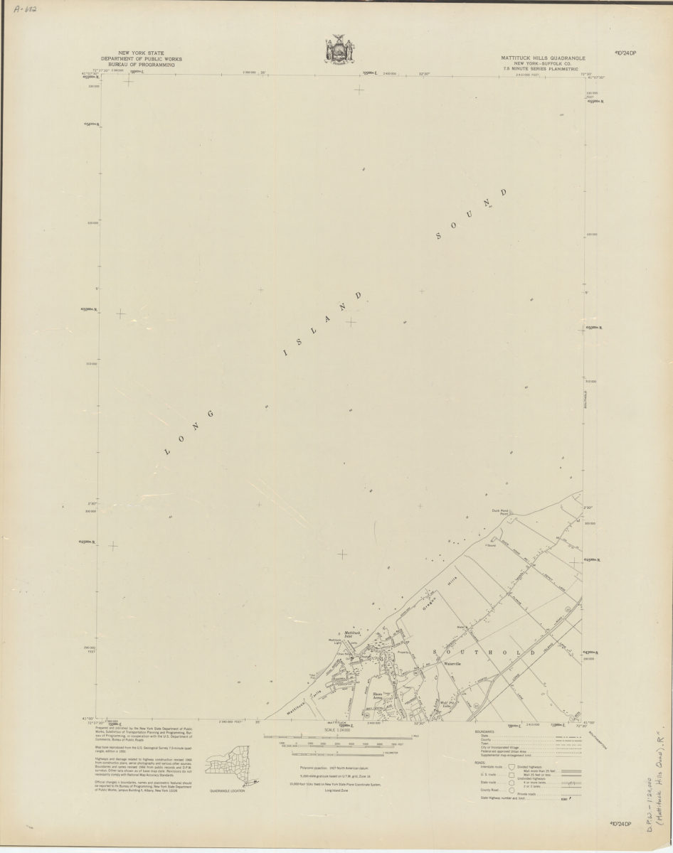
Mattituck Hills quadrangle, New York–Suffolk Co
Mattituck Hills quadrangle, New York–Suffolk Co
[1966]
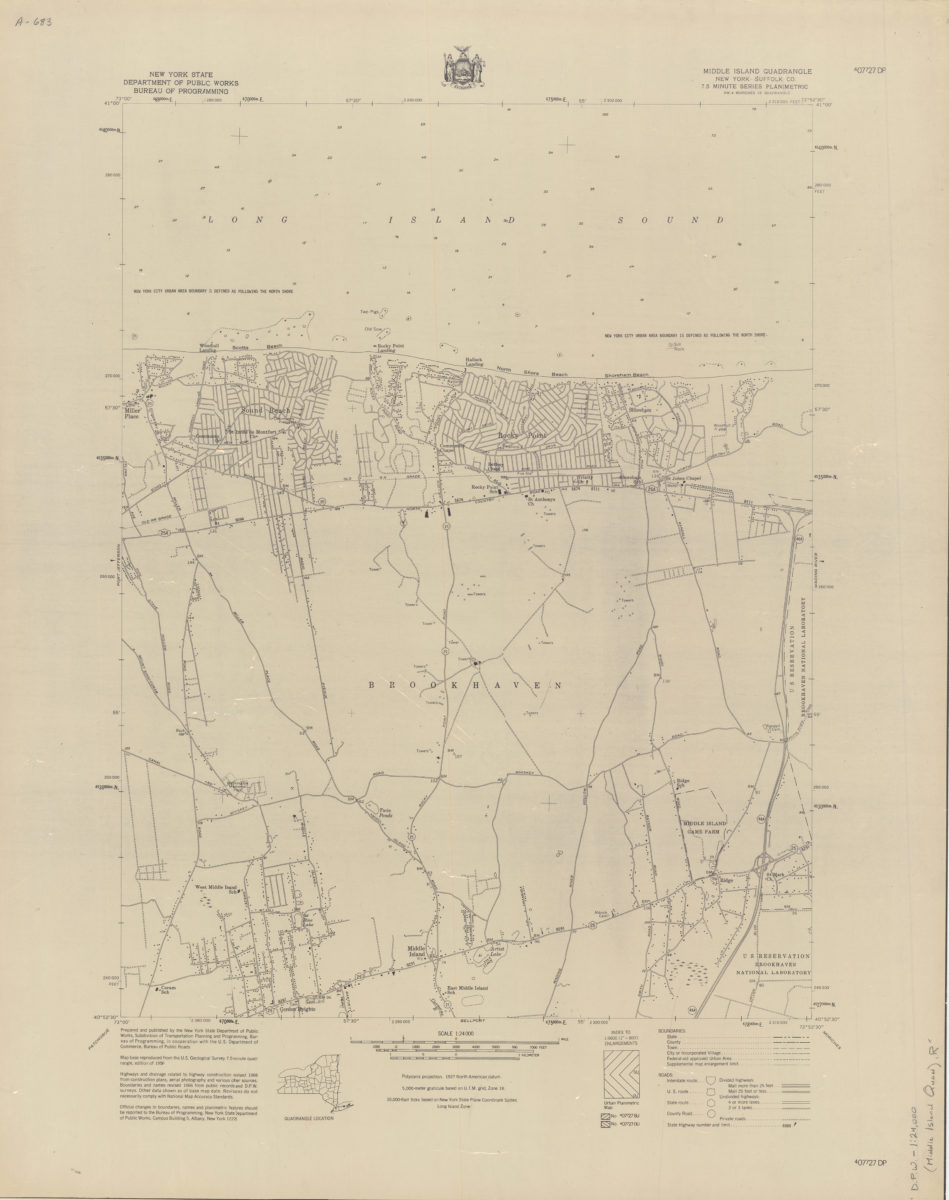
Middle Island quadrangle, New York–Suffolk Co
Middle Island quadrangle, New York–Suffolk Co
[1966]
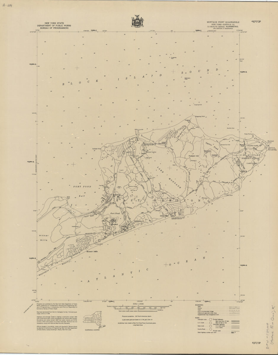
Montauk Point quadrangle, New York–Suffolk Co
Montauk Point quadrangle, New York–Suffolk Co
[1966]
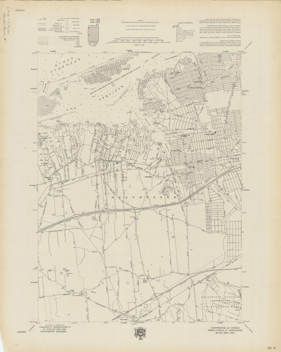
Moriches quadrangle, New York–Suffolk Co
Moriches quadrangle, New York–Suffolk Co
[1966]
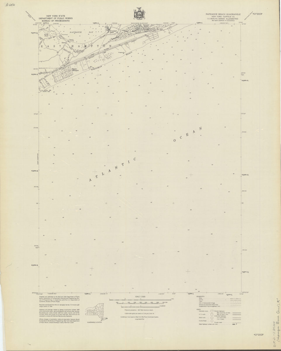
Napeague Beach quadrangle, New York–Suffolk Co
Napeague Beach quadrangle, New York–Suffolk Co
[1966]
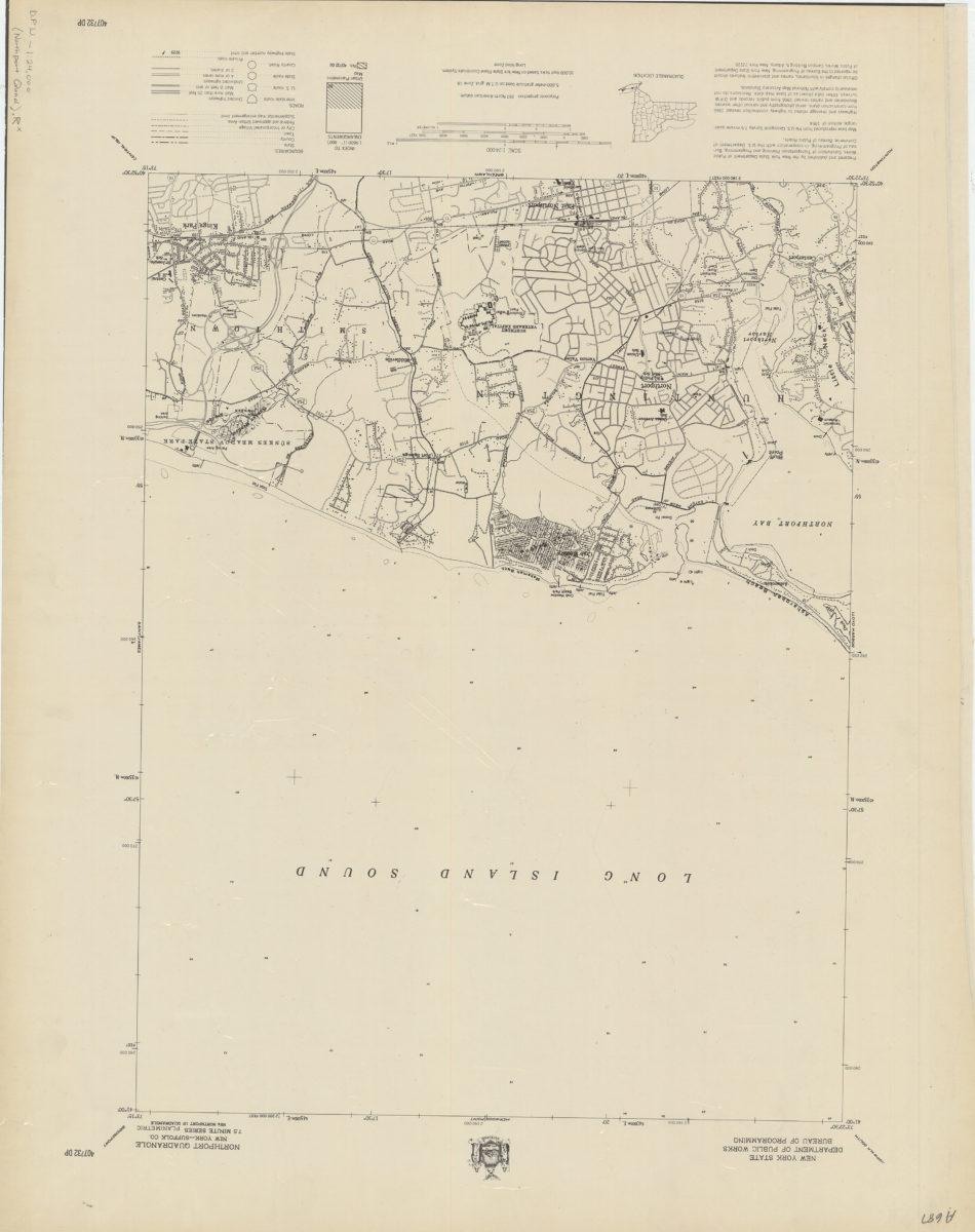
Northport quadrangle, New York–Suffolk Co
Northport quadrangle, New York–Suffolk Co
[1966]
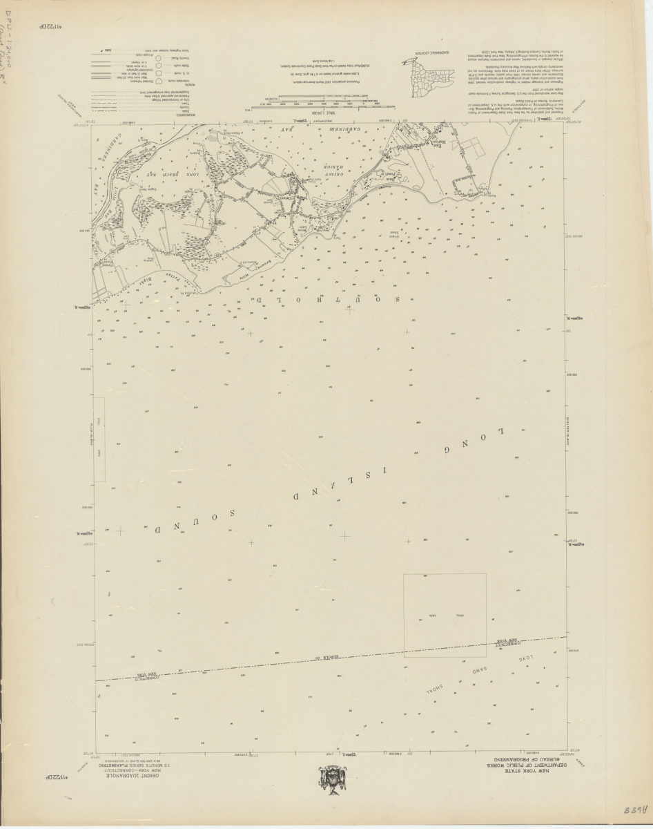
Orient quadrangle, New York–Connecticut
Orient quadrangle, New York–Connecticut
[1966]
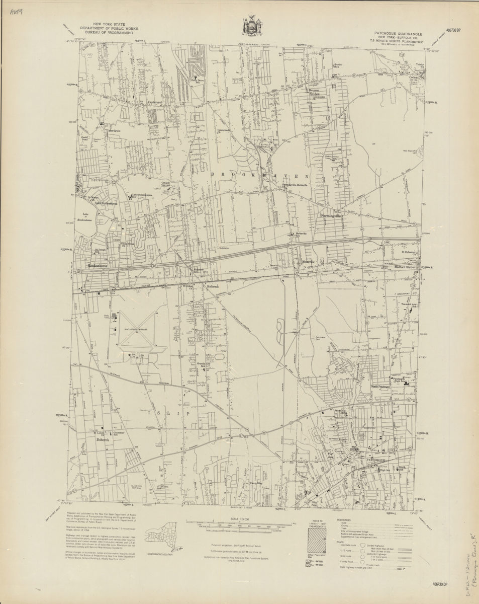
Patchogue quadrangle, New York–Suffolk Co
Patchogue quadrangle, New York–Suffolk Co
[1966]
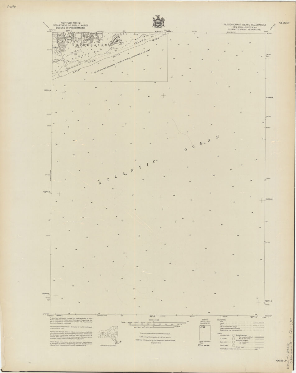
Pattersquash Island quadrangle, New York–Suffolk Co
Pattersquash Island quadrangle, New York–Suffolk Co
[1966]
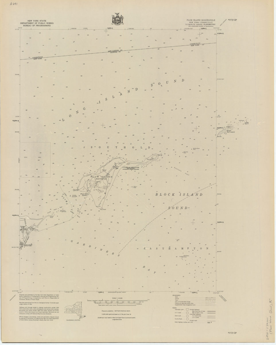
Plum Island quadrangle, New York–Connecticut
Plum Island quadrangle, New York–Connecticut
[1966]
Port Jefferson quadrangle, New York–Suffolk Co
Port Jefferson quadrangle, New York–Suffolk Co
[1966]
Quogue quadrangle, New York–Suffolk Co
Quogue quadrangle, New York–Suffolk Co
[1966]
Riverhead quadrangle, New York–Suffolk Co
Riverhead quadrangle, New York–Suffolk Co
[1966]
Sayville quadrangle, New York–Suffolk Co
Sayville quadrangle, New York–Suffolk Co
[1966]
Southampton quadrangle, New York–Suffolk Co
Southampton quadrangle, New York–Suffolk Co
[1966]
Southold quadrangle, New York–Suffolk Co
Southold quadrangle, New York–Suffolk Co
[1966]
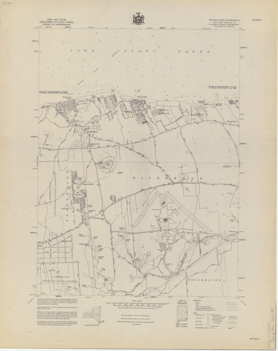
Wading River quadrangle, New York–Suffolk Co
Wading River quadrangle, New York–Suffolk Co
[1966]
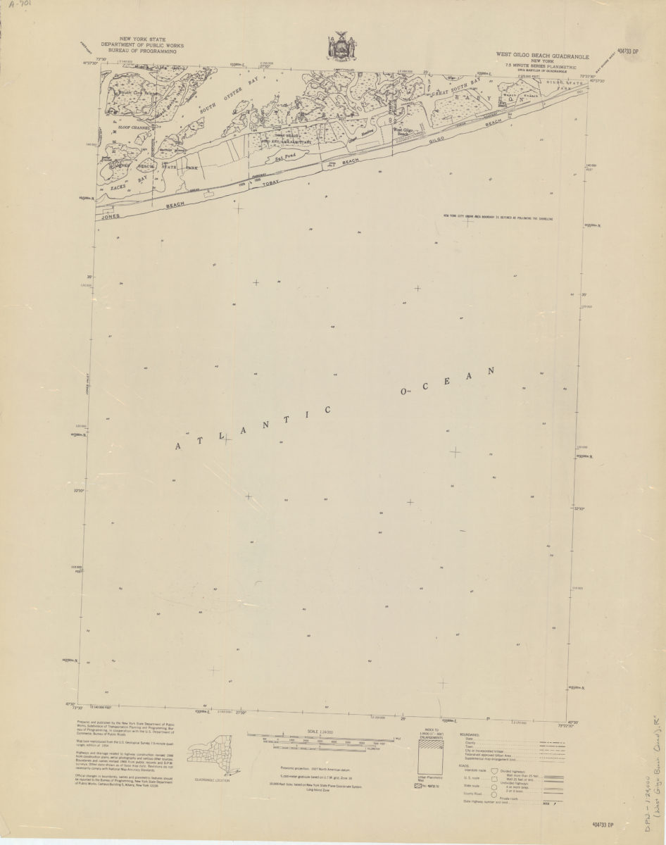
West Gilgo Beach quadrangle, New York
West Gilgo Beach quadrangle, New York
[1966]
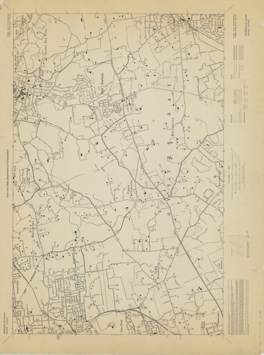
Hicksville (north)-Nassau County: New York State Department of Transportation
Hicksville (north)-Nassau County: New York State Department of Transportation
[1966]
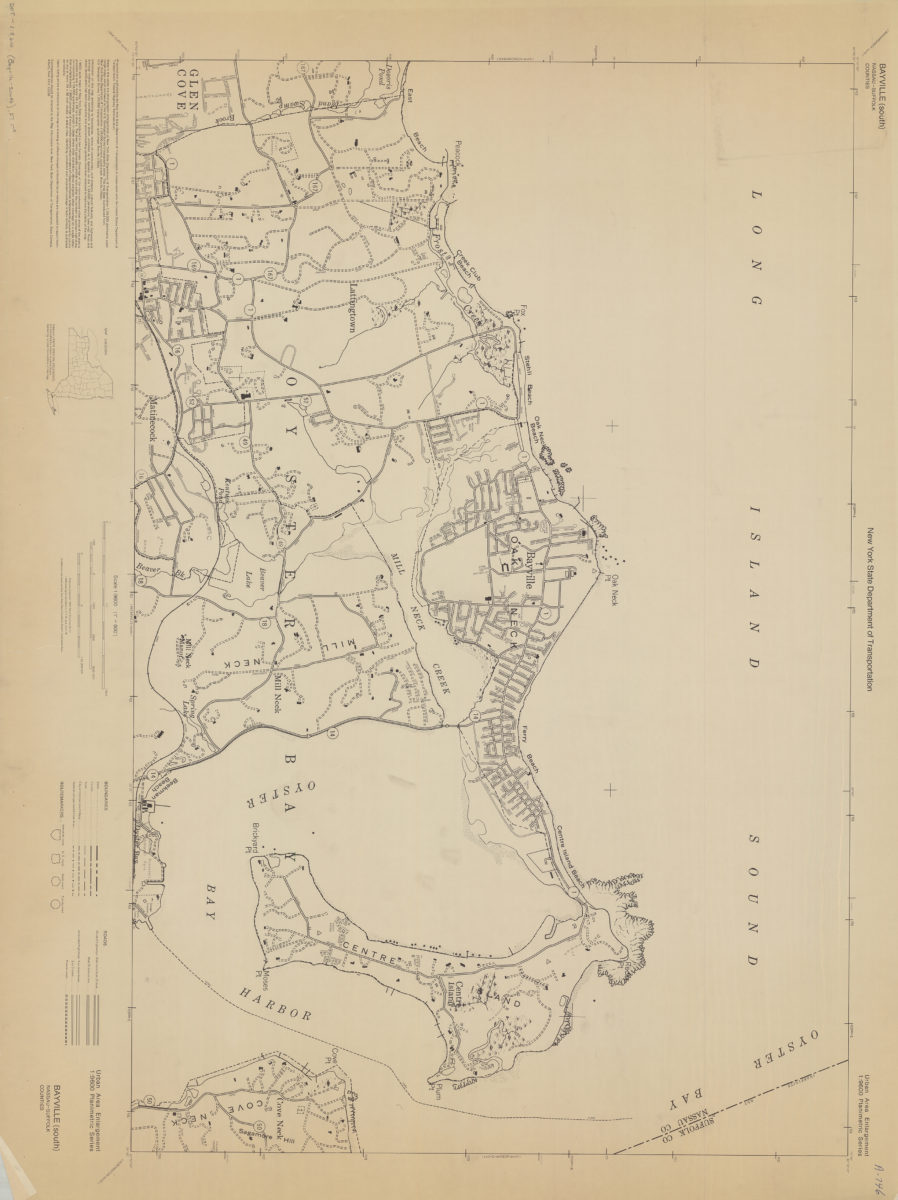
Bayville (south)-Nassau-Suffolk Counties: New York State Department of Transportation
Bayville (south)-Nassau-Suffolk Counties: New York State Department of Transportation
[1966]
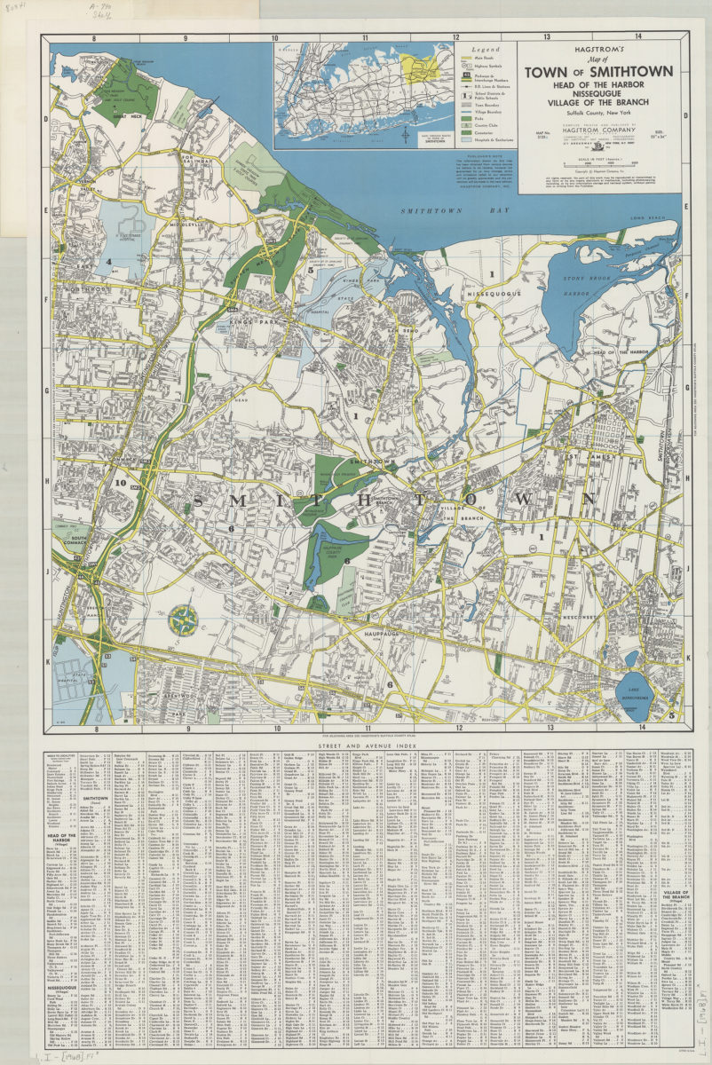
Hagstrom’s map of town of Smithtown, Head of the Harbor, Nissequgue [sic], Village of the Branch, Suffolk County, New York: compiled, printed, and published by Hagstrom Company Incorporated
Hagstrom’s map of town of Smithtown, Head of the Harbor, Nissequgue [sic], Village of the Branch, Suffolk County, New York: compiled, printed, and published by Hagstrom Company Incorporated
[1968]
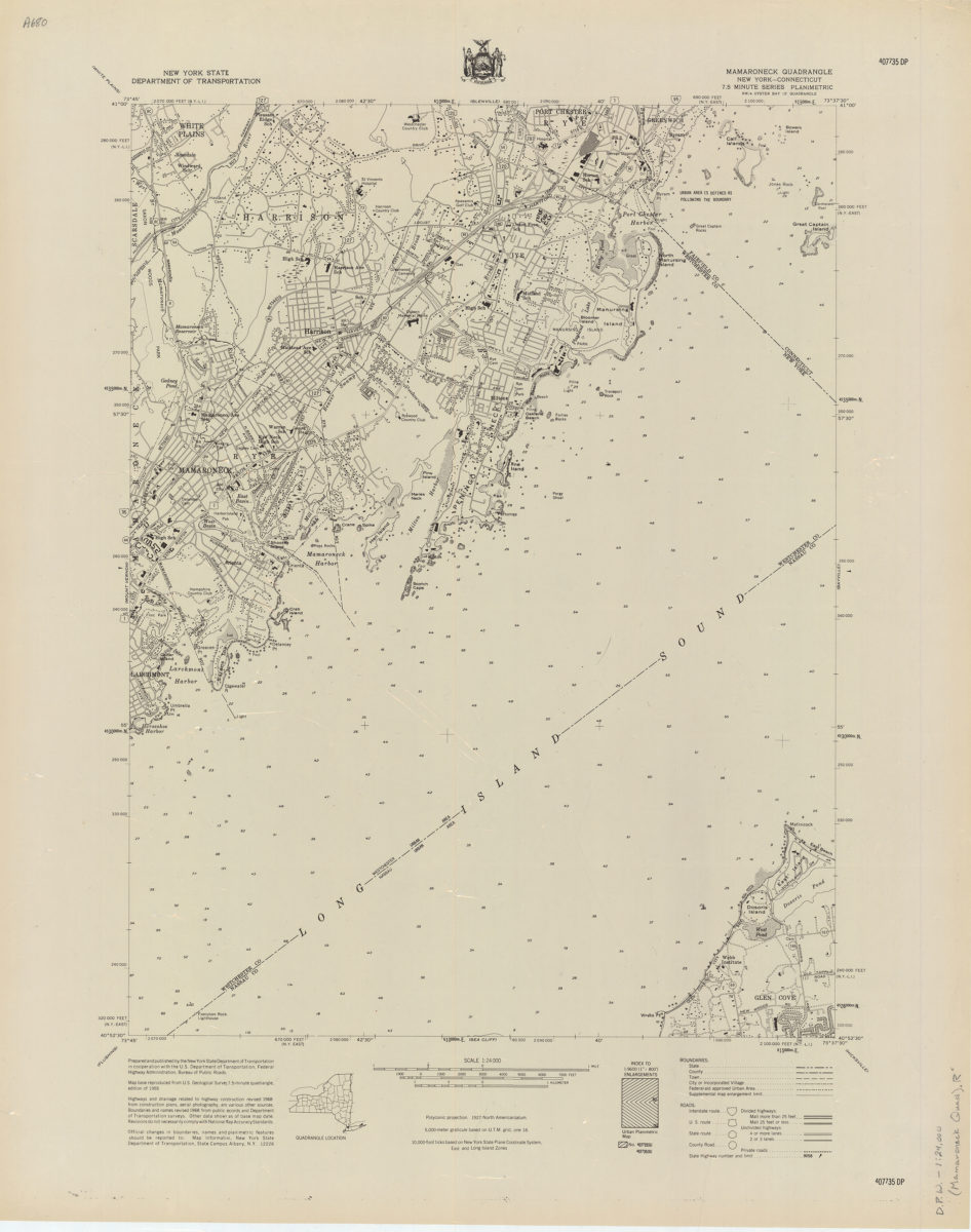
Mamaroneck quadrangle, New York–Connecticut
Mamaroneck quadrangle, New York–Connecticut
[1968]
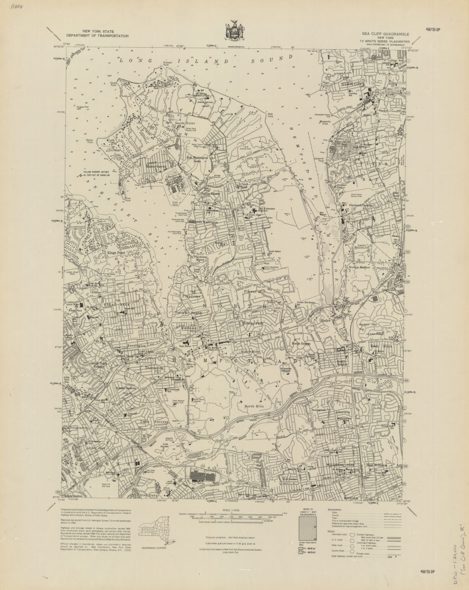
Sea Cliff quadrangle, New York
Sea Cliff quadrangle, New York
[1968]
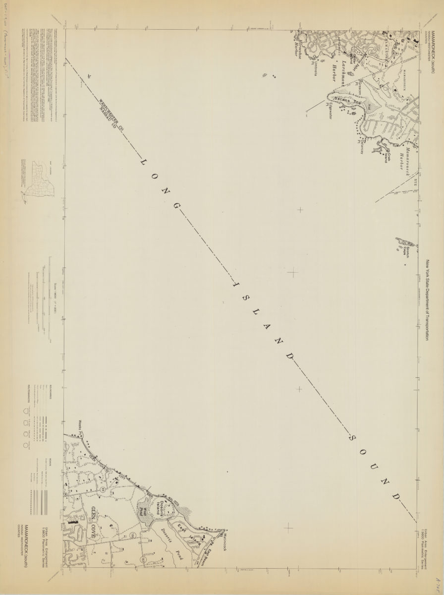
Mamaroneck (south)-Nassau/Westchester Counties: New York State Department of Transportation
Mamaroneck (south)-Nassau/Westchester Counties: New York State Department of Transportation
[1968]
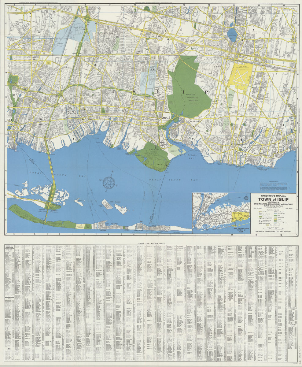
Hagstrom’s map of the Town of Islip: with the villages of Brightwaters, Ocean Beach and Saltaire, Suffolk County, New York
Hagstrom’s map of the Town of Islip: with the villages of Brightwaters, Ocean Beach and Saltaire, Suffolk County, New York
1968
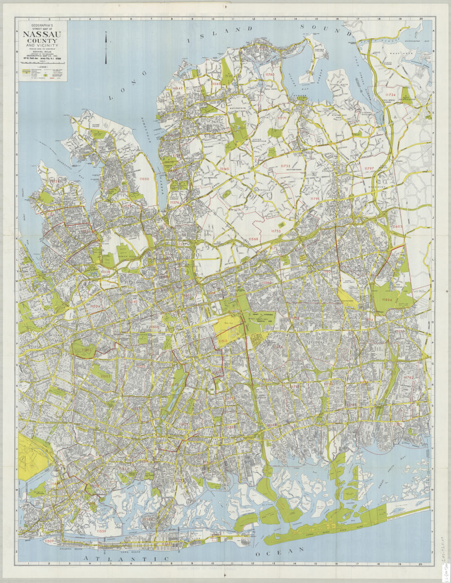
Geographia’s street map of Nassau County and vicinity: produced under the direction of Emanuel Polak
Geographia’s street map of Nassau County and vicinity: produced under the direction of Emanuel Polak
[197?]
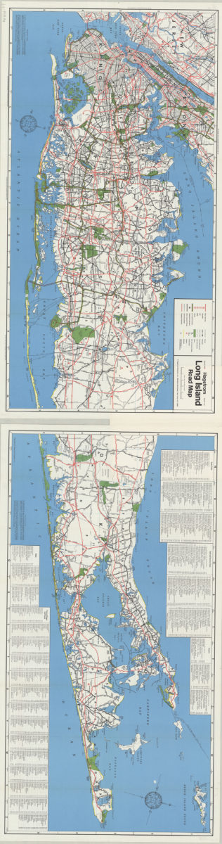
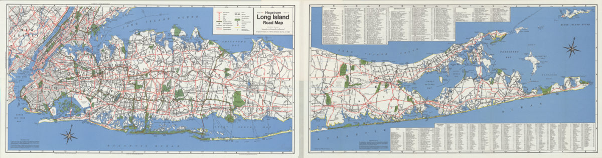
Hagstrom Long Island road map
Hagstrom Long Island road map
[1971]
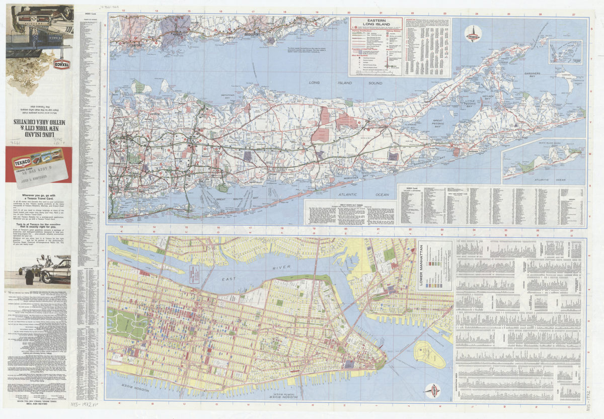
Long Island, New York City & metro area counties
Long Island, New York City & metro area counties
[1972]
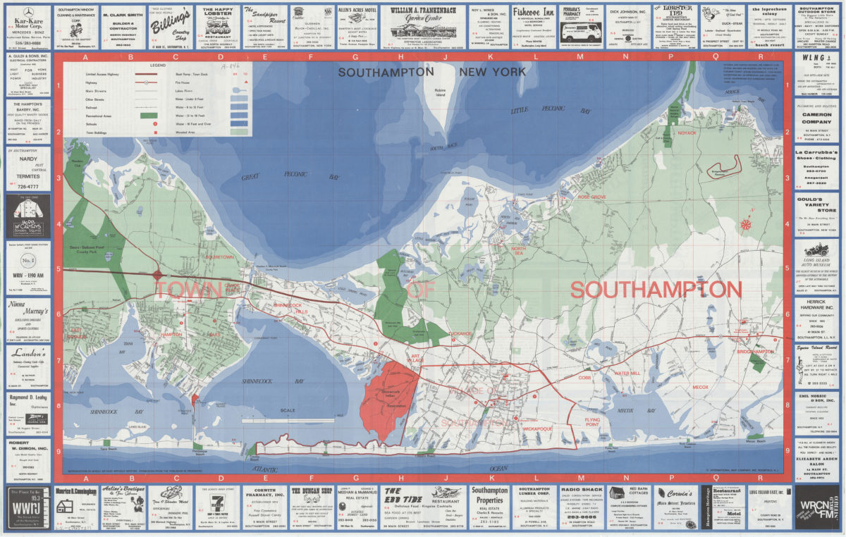
Southampton, New York
Southampton, New York
[1973]
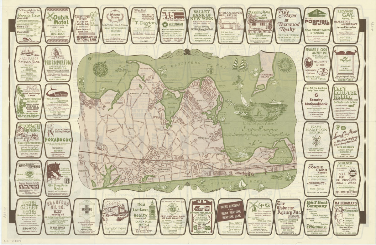
Historical guide and map to East Hampton: Springs, Amagansett, Sag Harbor
Historical guide and map to East Hampton: Springs, Amagansett, Sag Harbor
[ca. 1973]
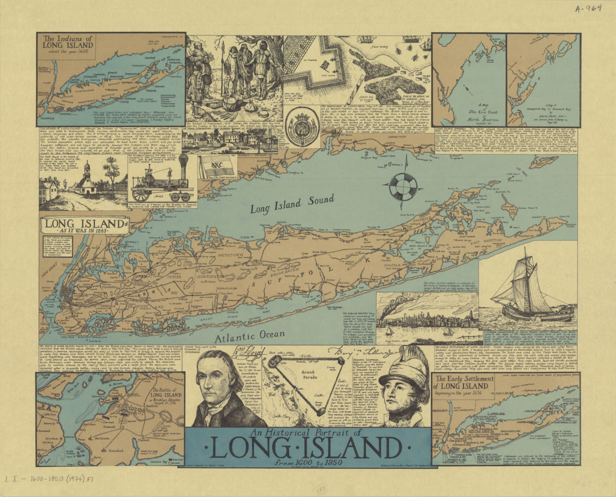
An historical portrait of Long Island from 1600 to 1850: drawn & engraved by Ronald Toelke
An historical portrait of Long Island from 1600 to 1850: drawn & engraved by Ronald Toelke
[ca. 1974]
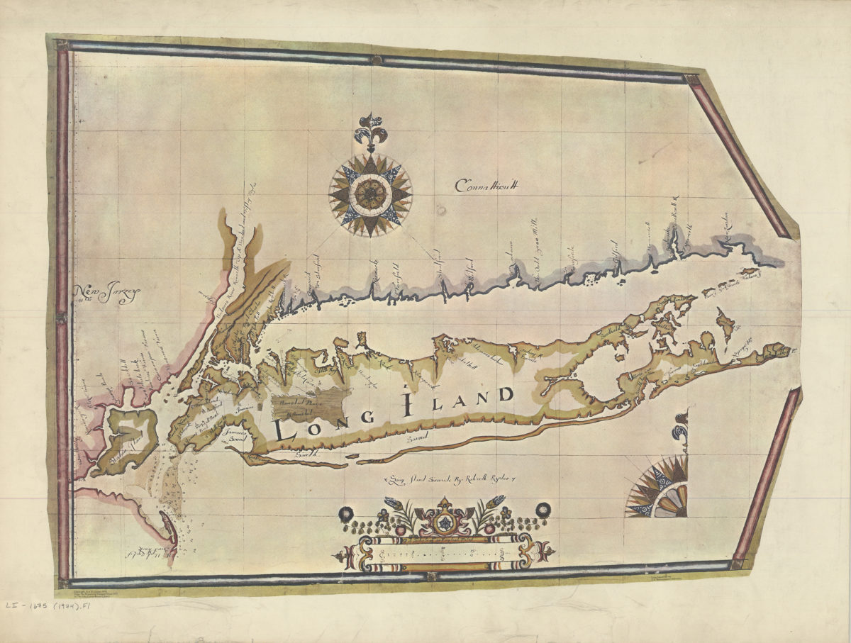
Long Island sirvaide: by Robartt Ryder
Long Island sirvaide: by Robartt Ryder
[ca. 1974]
Hagstrom Long Island road map
Hagstrom Long Island road map
[1974]
Long Island, New York City & metro area counties: [prepared for] Texaco
Long Island, New York City & metro area counties: [prepared for] Texaco
1975
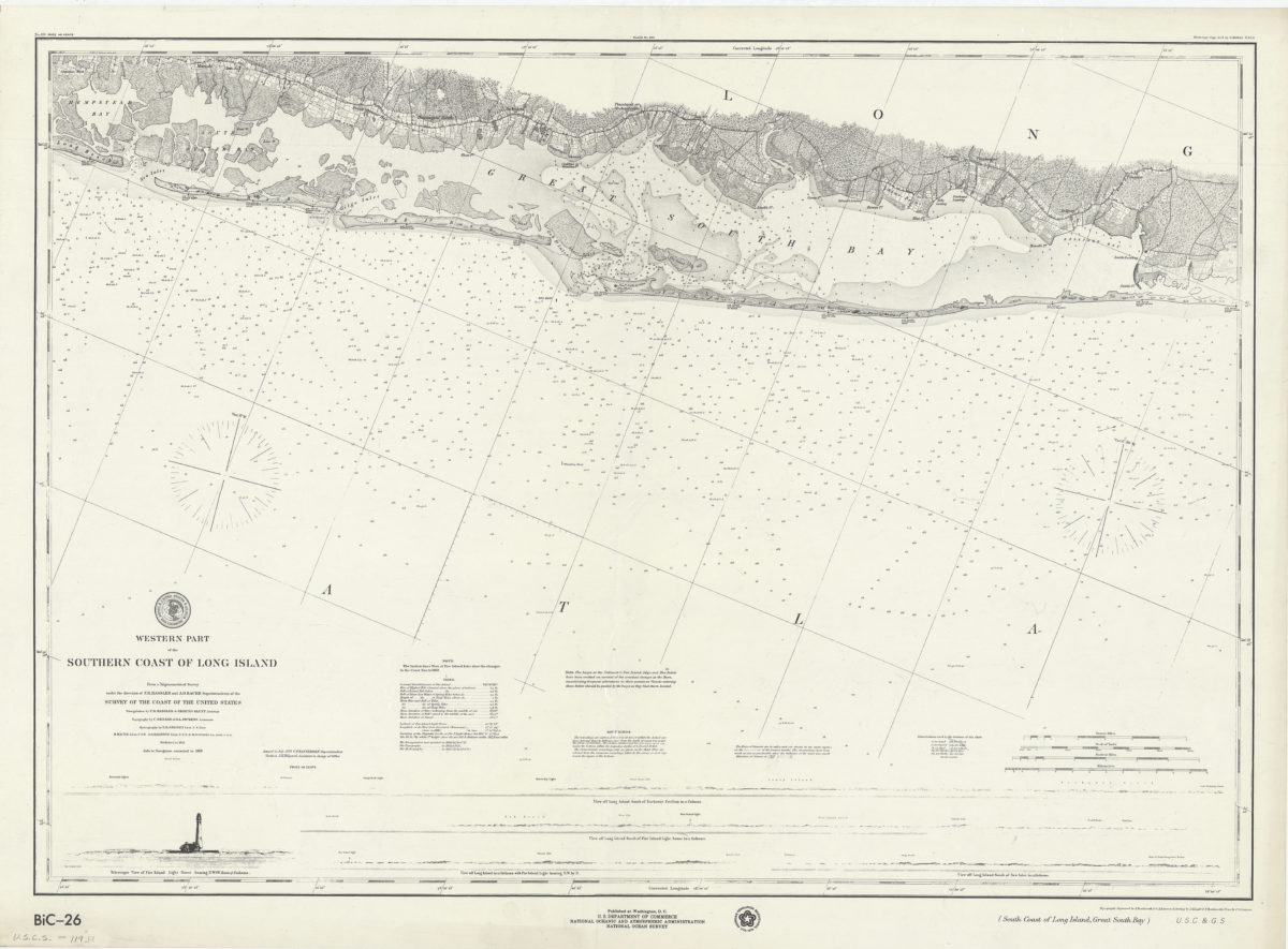
Western part of the southern coast of Long Island: from a trigonometrical survey under the direction of F.R. Hassler and A.D. Bache, superintendents of the Survey of the Coast of the United States
Western part of the southern coast of Long Island: from a trigonometrical survey under the direction of F.R. Hassler and A.D. Bache, superintendents of the Survey of the Coast of the United States
[1976]
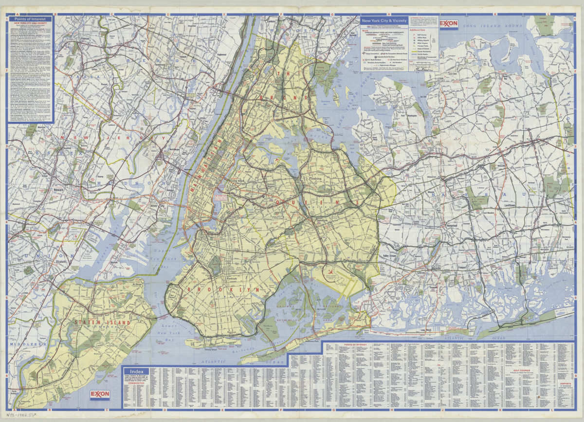
New York City and Long Island: featuring complete index, special area maps, recreation areas, points of interest text: Exxon
New York City and Long Island: featuring complete index, special area maps, recreation areas, points of interest text: Exxon
[ca. 1982]
Long Island road map: Hagstrom
Long Island road map: Hagstrom
[ca. 1987]
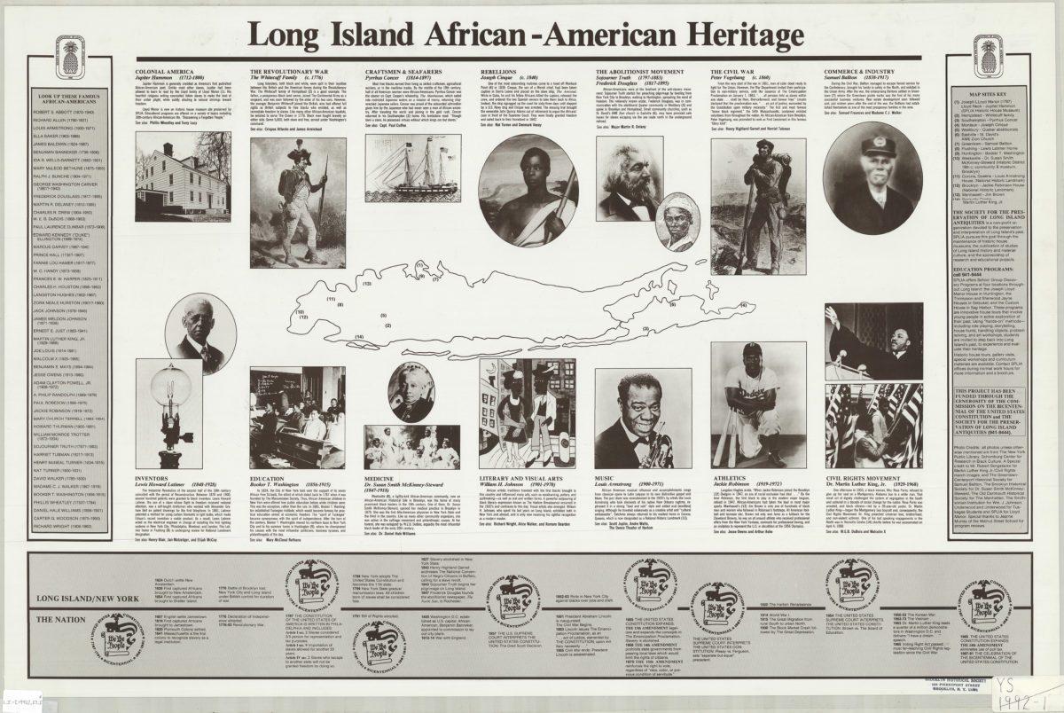
Long Island African-American heritage
Long Island African-American heritage
[1992?]
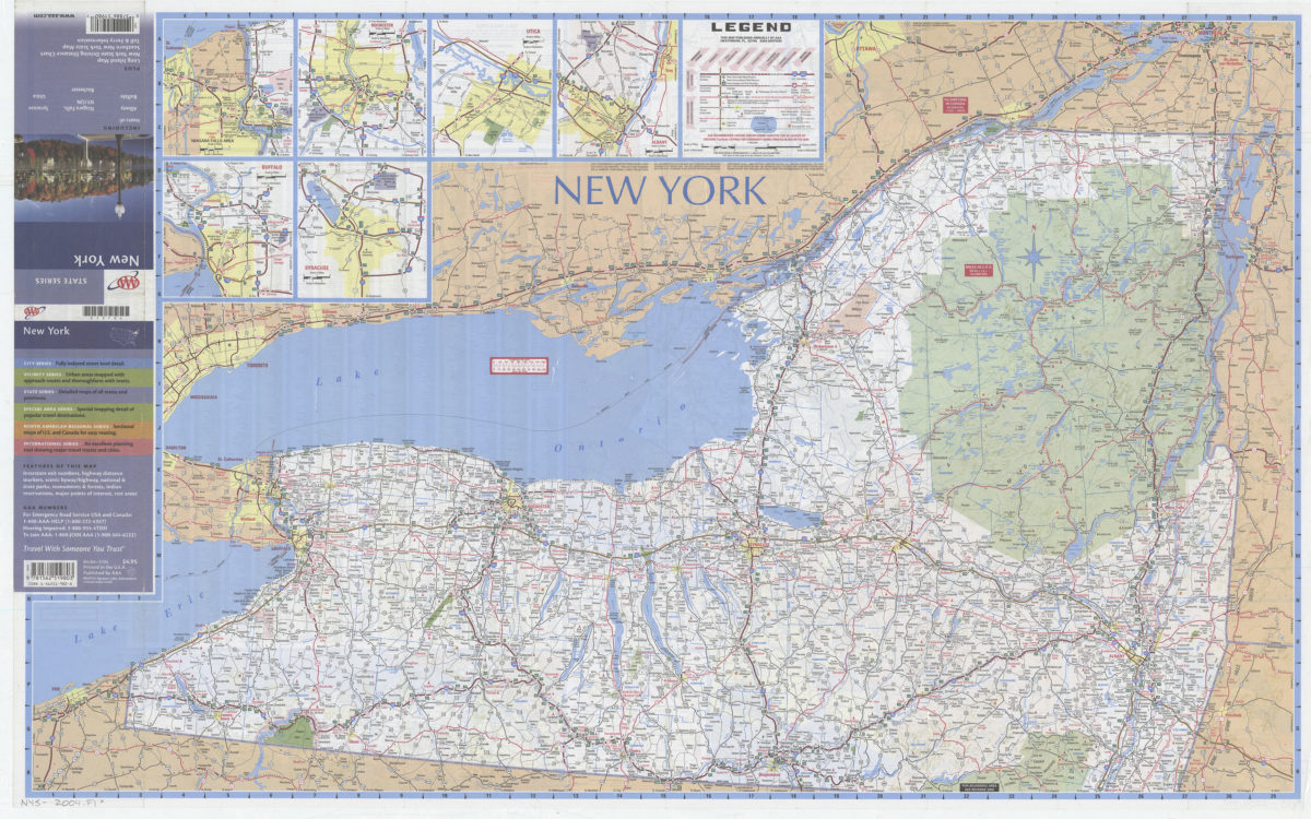
New York: including insets of Albany, Buffalo, Niagara Falls NY-ON, Rochester, Syracuse, Utica, plus Long Island map … toll & ferry information: AAA
New York: including insets of Albany, Buffalo, Niagara Falls NY-ON, Rochester, Syracuse, Utica, plus Long Island map … toll & ferry information: AAA
[2004]
Previous
1
2
3
4