Center for Brooklyn History
Map Collections
Search
About
Othmer Library & Archives
Submit search query
Refine 119 records
Clear filters
2
Location
Brightwaters (N.Y.)
1
Brookhaven (N.Y.)
2
Brooklyn (New York, N.Y.)
891
Cold Spring Harbor (N.Y.)
1
East Hampton (N.Y.)
1
Elmont (N.Y.)
1
Fairfield County (Conn.)
5
Great Neck (N.Y.)
3
Hempstead (N.Y.)
13
Islip (N.Y.)
5
Lloyd Harbor (N.Y.)
1
Long Island (N.Y.)
197
Long Island Sound (N.Y. and Conn.)
12
Manhattan (New York, N.Y.)
120
Montauk (N.Y.)
4
Nassau County (N.Y.)
24
New Jersey
27
New York (N.Y.)
164
New York (State)
95
New York Metropolitan Area
40
North Hempstead (N.Y. : Town)
4
Noyack (N.Y.)
1
Ocean Beach (N.Y.)
1
Orient (N.Y.)
1
Oyster Bay (N.Y.)
9
Patchogue (N.Y.)
2
Port Washington (N.Y.)
1
Queens (New York, N.Y.)
83
Riverhead (N.Y.)
3
Rockville Centre (N.Y.)
2
Sag Harbor (N.Y.)
2
Saltaire (N.Y.)
1
Shelter Island (N.Y.)
2
Smithtown (N.Y. : Town)
4
Southampton (N.Y.)
5
Suffolk County (N.Y.)
43
Westchester County (N.Y.)
11
Show 17 more
Subject
African Americans
1
Automobile racing
1
Bicycle trails
17
Canals
15
Coasts
4
Country clubs
1
Electric railroads
5
ferries
32
Golf courses
2
Golf resorts
1
Harbors
11
Historic sites
3
Indian land transfers
1
Indians of North America
6
Landowners
434
Names, Personal
1
Nautical charts
14
Railroads
72
Real property
619
Recreation
5
Roads
117
Steamboat lines
4
Street addresses
11
Streets
46
Waterworks
5
Wells
2
Yacht clubs
1
Zip codes
4
Show 8 more
Date
20th Century
469
or enter range:
from
to
Genres
Bathymetric maps
94
Cadastral maps
597
Historical maps
53
History
2
Manuscript maps
365
Map
191
Nautical charts
30
Pictorial maps
38
Public utility maps
15
Road
1
Road maps
83
Statistical maps
8
Thematic maps
60
Topographic maps
70
Tourist maps
55
Transportation maps
120
Zoning maps
55
Sort by:
Date (earliest)
Date (most recent)
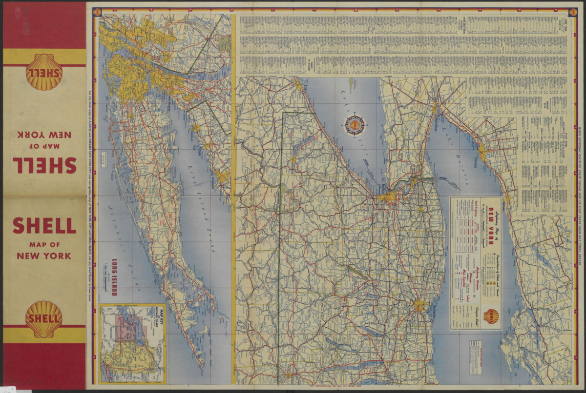
Highway map of New York
Highway map of New York
[1953]
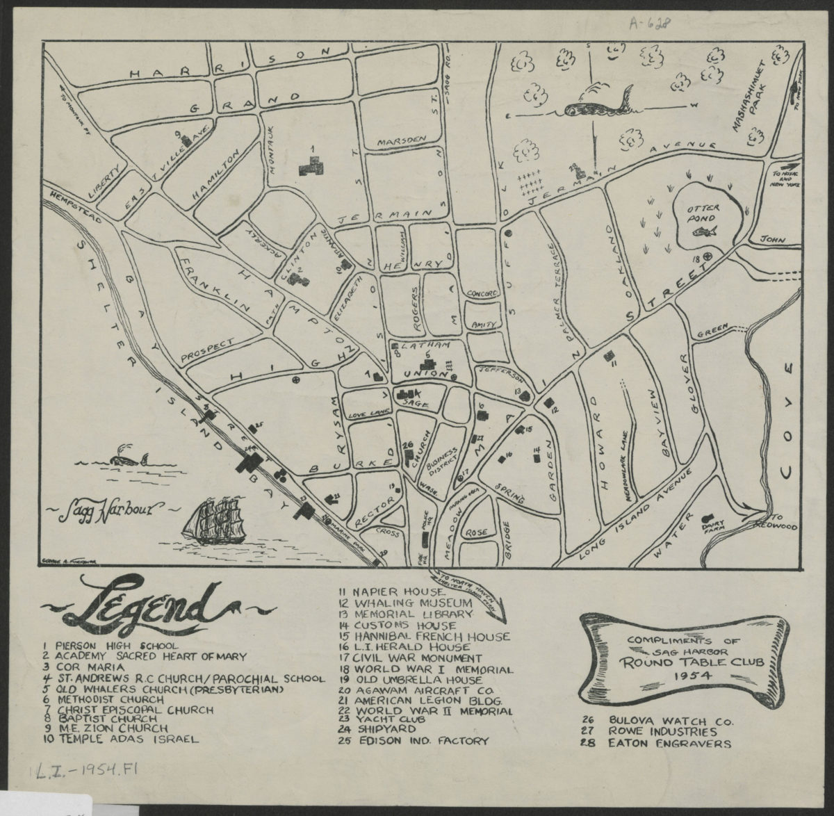
[Map of village of Sag Harbor]
[Map of village of Sag Harbor]
1954
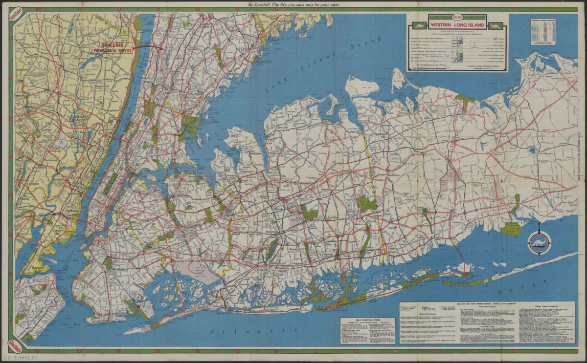
Long Island, Metropolitan New York, Westchester County
Long Island, Metropolitan New York, Westchester County
[1957]
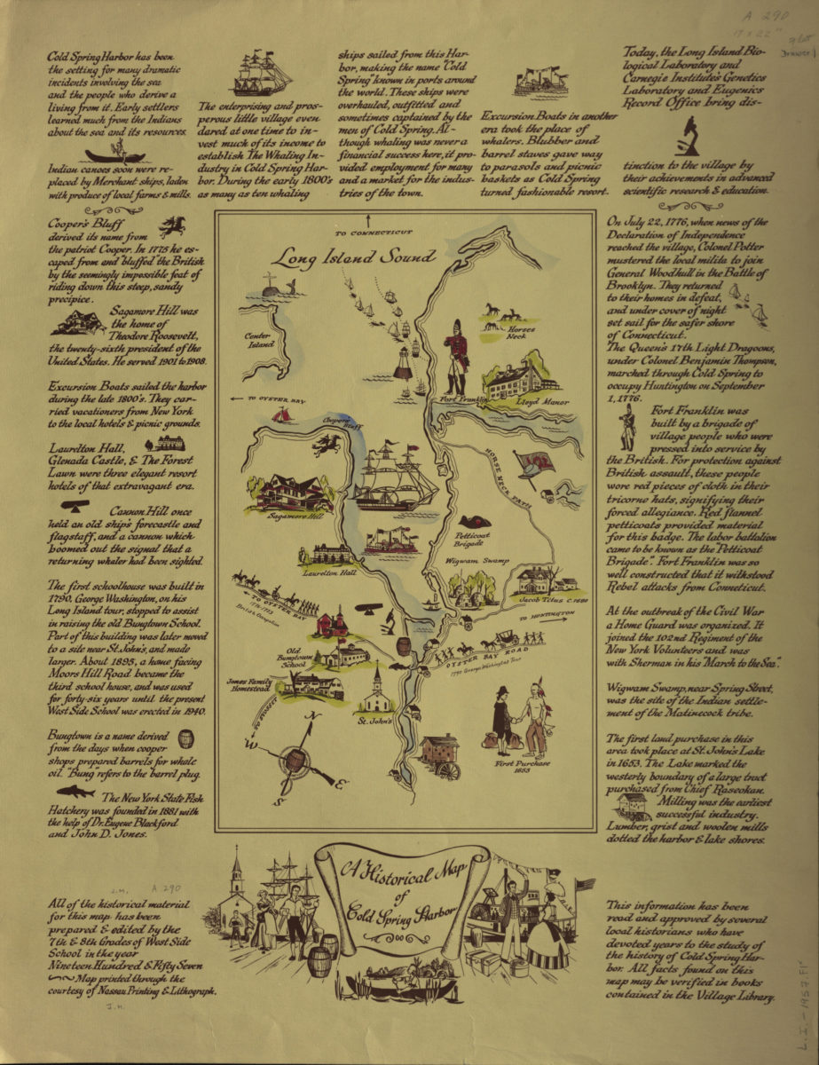
A historical map of Cold Spring Harbor
A historical map of Cold Spring Harbor
1957
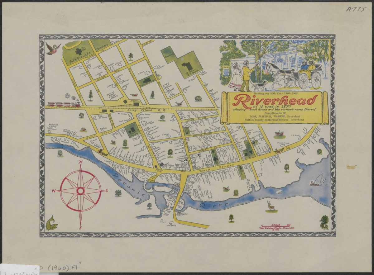
Riverhead as it was in 1870: showing each house and the owner’s name thereof
Riverhead as it was in 1870: showing each house and the owner’s name thereof
[ca. 1960]
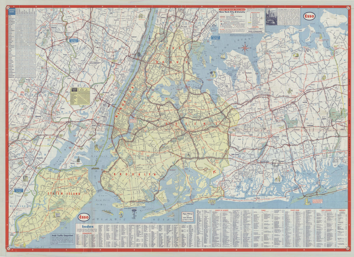
New York City & vicinity,1960: General Drafting Company ; [prepared for] Esso Standard
New York City & vicinity,1960: General Drafting Company ; [prepared for] Esso Standard
1960
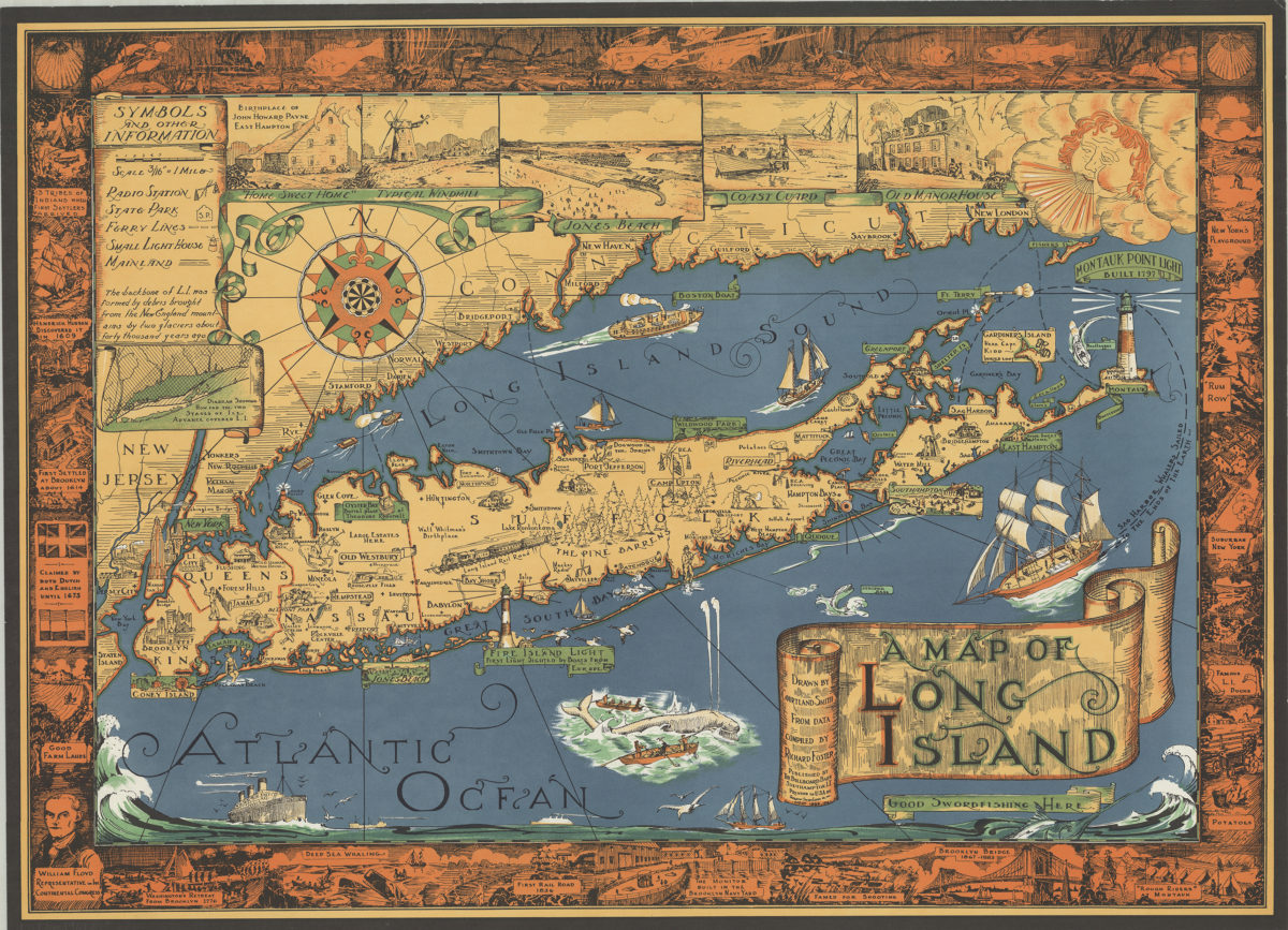
A map of Long Island: drawn by Courtland Smith, from data compiled by Richard Foster
A map of Long Island: drawn by Courtland Smith, from data compiled by Richard Foster
[ca. 1961]
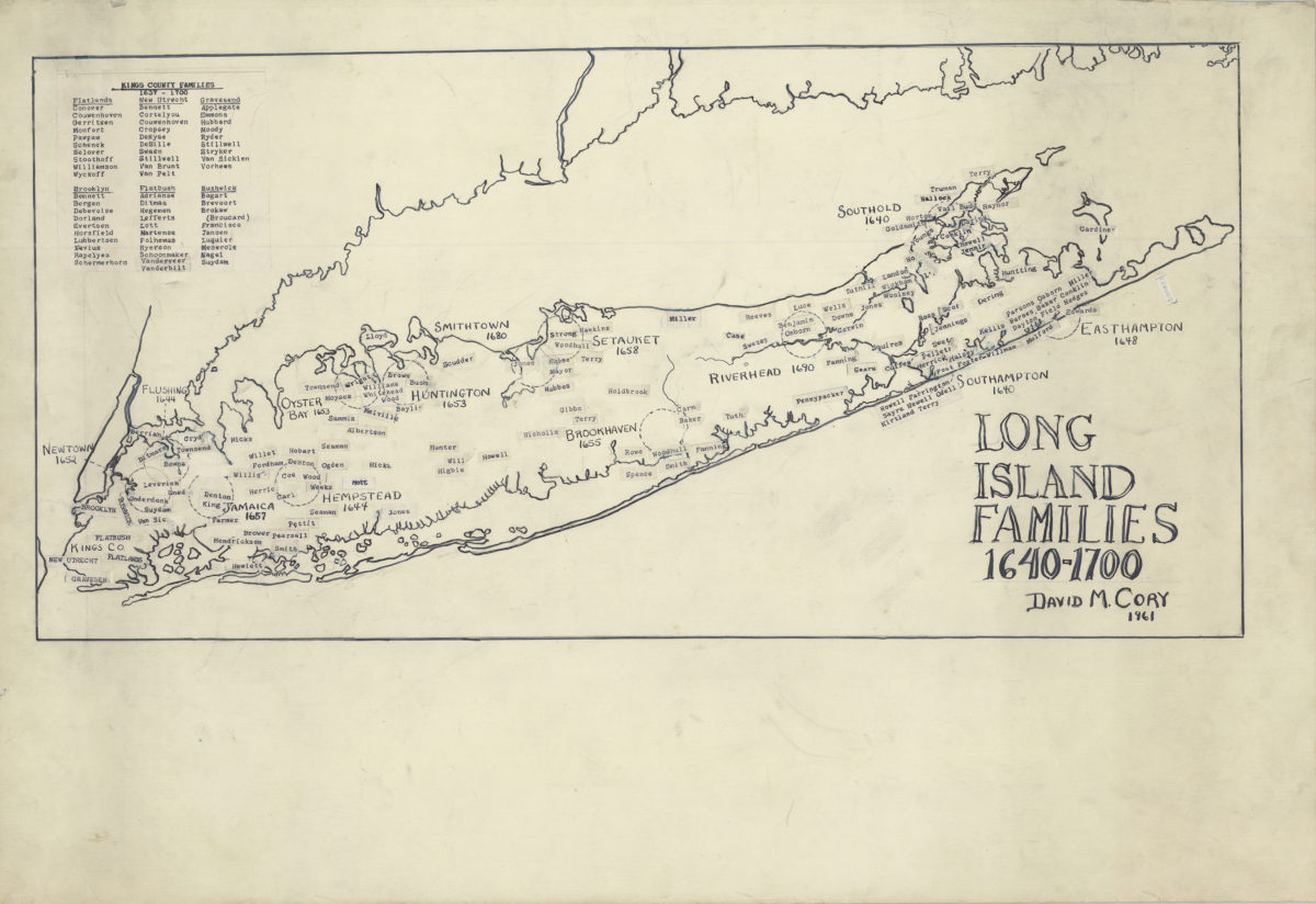
Long Island families, 1640-1700
Long Island families, 1640-1700
1961
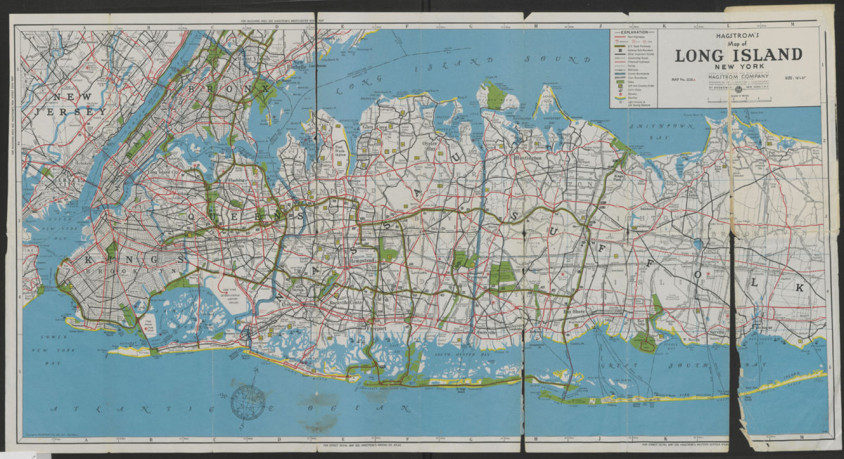
Hagstrom’s map of Long Island, New York
Hagstrom’s map of Long Island, New York
[1962]
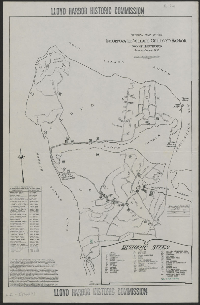
Official map of the Incorporated Village of Lloyd Harbor, Town of Huntington, Suffolk County, N.Y.
Official map of the Incorporated Village of Lloyd Harbor, Town of Huntington, Suffolk County, N.Y.
[1962]
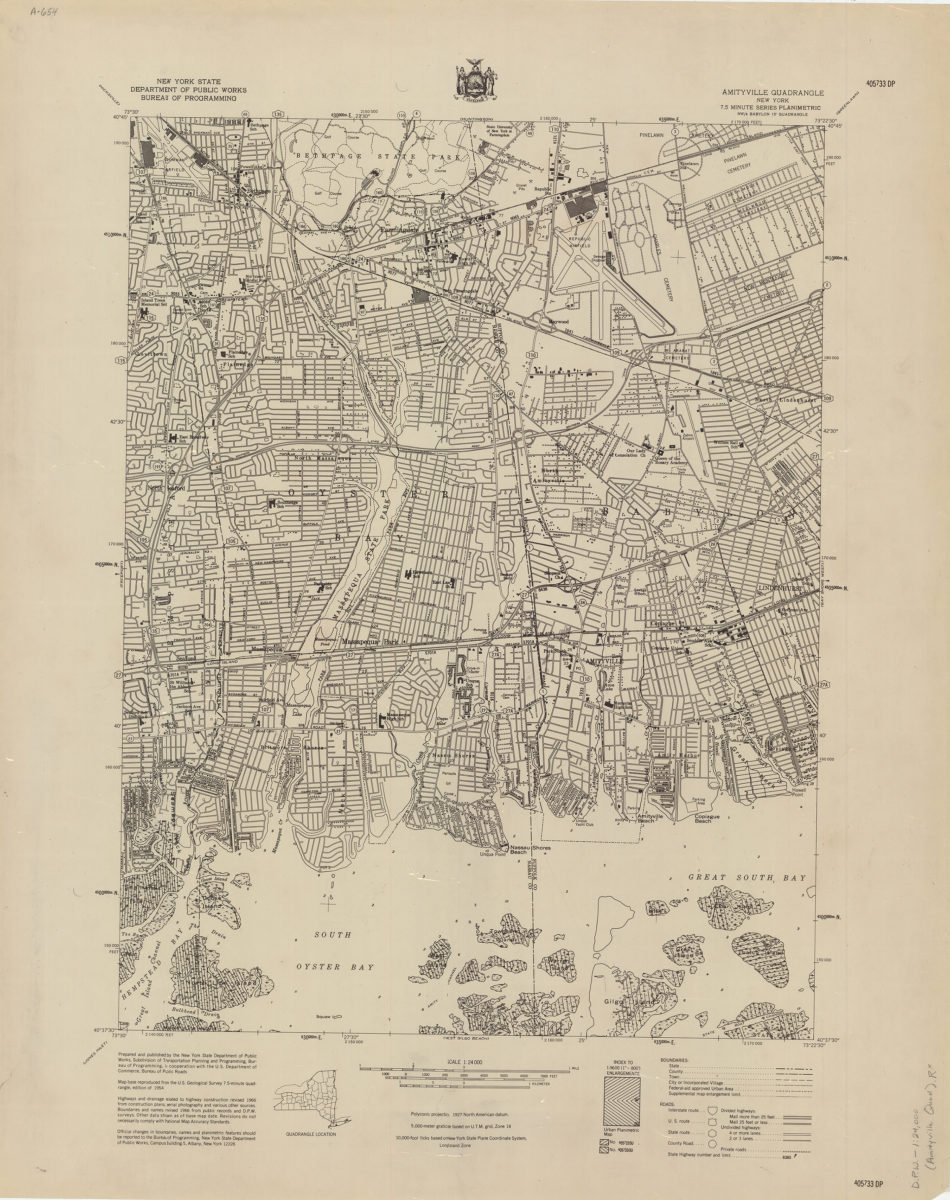
Amityville quadrangle, New York
Amityville quadrangle, New York
[1966]
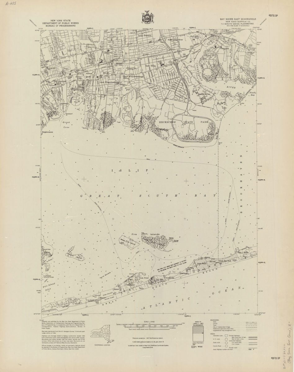
Bay Shore East quadrangle, New York–Suffolk Co
Bay Shore East quadrangle, New York–Suffolk Co
[1966]
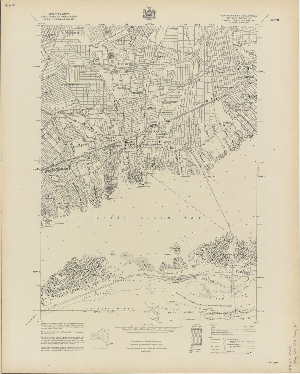
Bay Shore West quadrangle, New York–Suffolk Co
Bay Shore West quadrangle, New York–Suffolk Co
[1966]
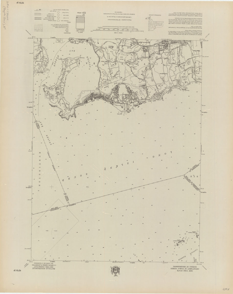
Bayville quadrangle, New York–Connecticut
Bayville quadrangle, New York–Connecticut
[1966]
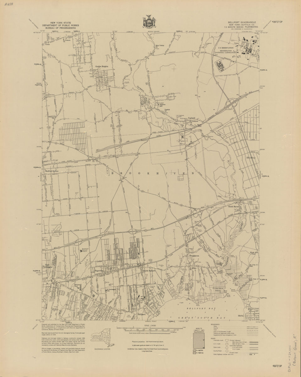
Belleport quadrangle, New York–Suffolk Co
Belleport quadrangle, New York–Suffolk Co
[1966]
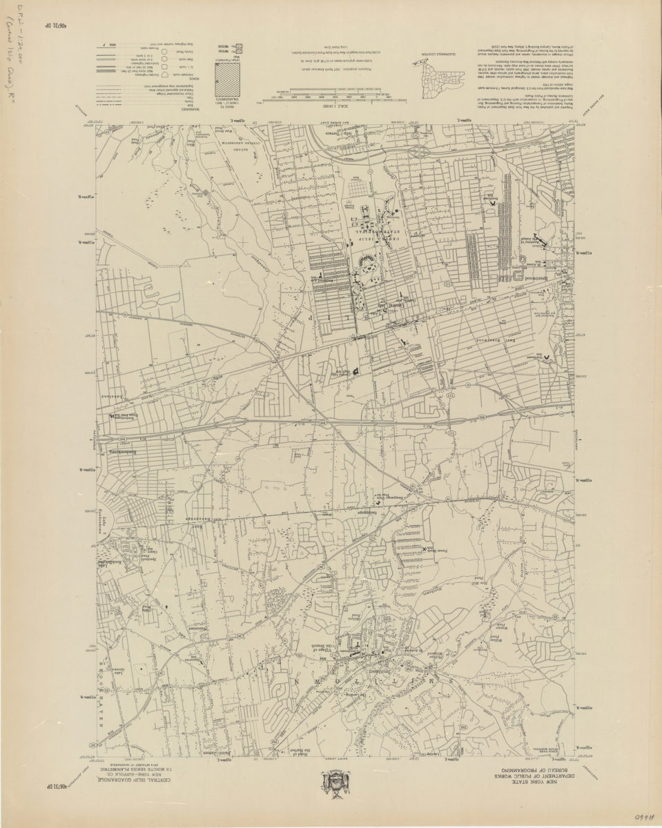
Central Islip quadrangle, New York–Suffolk Co
Central Islip quadrangle, New York–Suffolk Co
[1966]
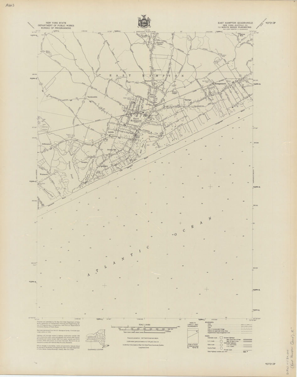
East Hampton quadrangle, New York–Suffolk Co
East Hampton quadrangle, New York–Suffolk Co
[1966]
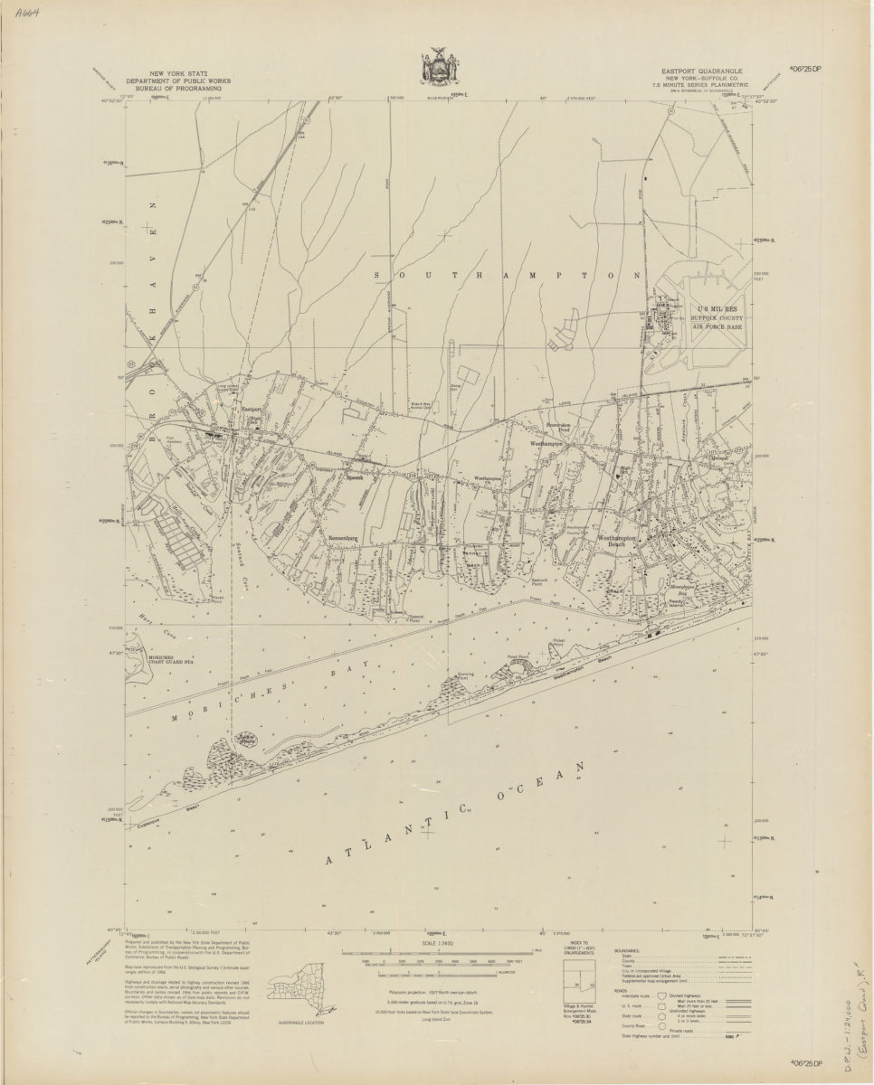
Eastport quadrangle, New York–Suffolk Co
Eastport quadrangle, New York–Suffolk Co
[1966]
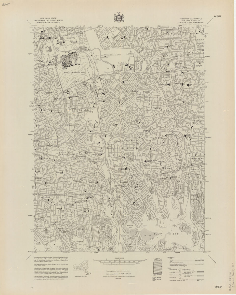
Freeport quadrangle, New York–Nassau Co
Freeport quadrangle, New York–Nassau Co
[1966]
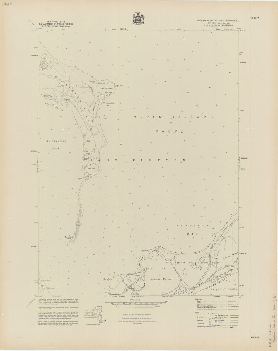
Gardiners Island East quadrangle, New York–Suffolk Co
Gardiners Island East quadrangle, New York–Suffolk Co
[1966]
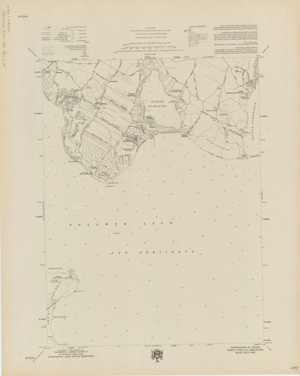
Gardiners Island West quadrangle, New York–Suffolk Co
Gardiners Island West quadrangle, New York–Suffolk Co
[1966]
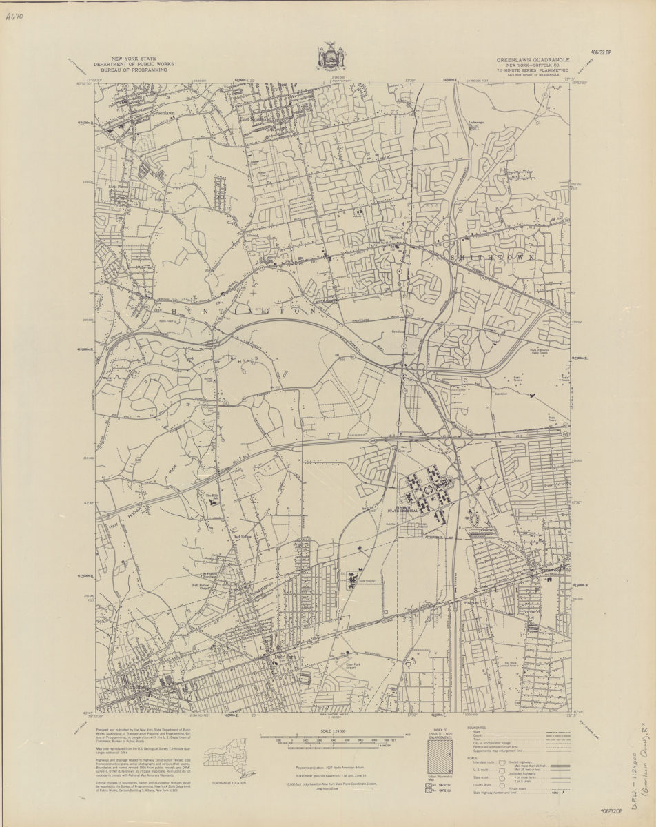
Greenlawn quadrangle, New York–Suffolk Co
Greenlawn quadrangle, New York–Suffolk Co
[1966]
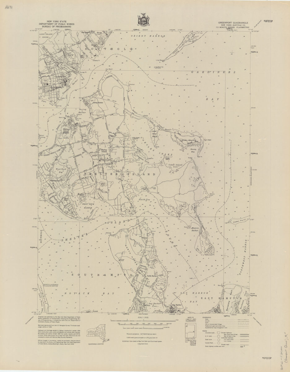
Greenport quadrangle, New York–Suffolk Co
Greenport quadrangle, New York–Suffolk Co
[1966]
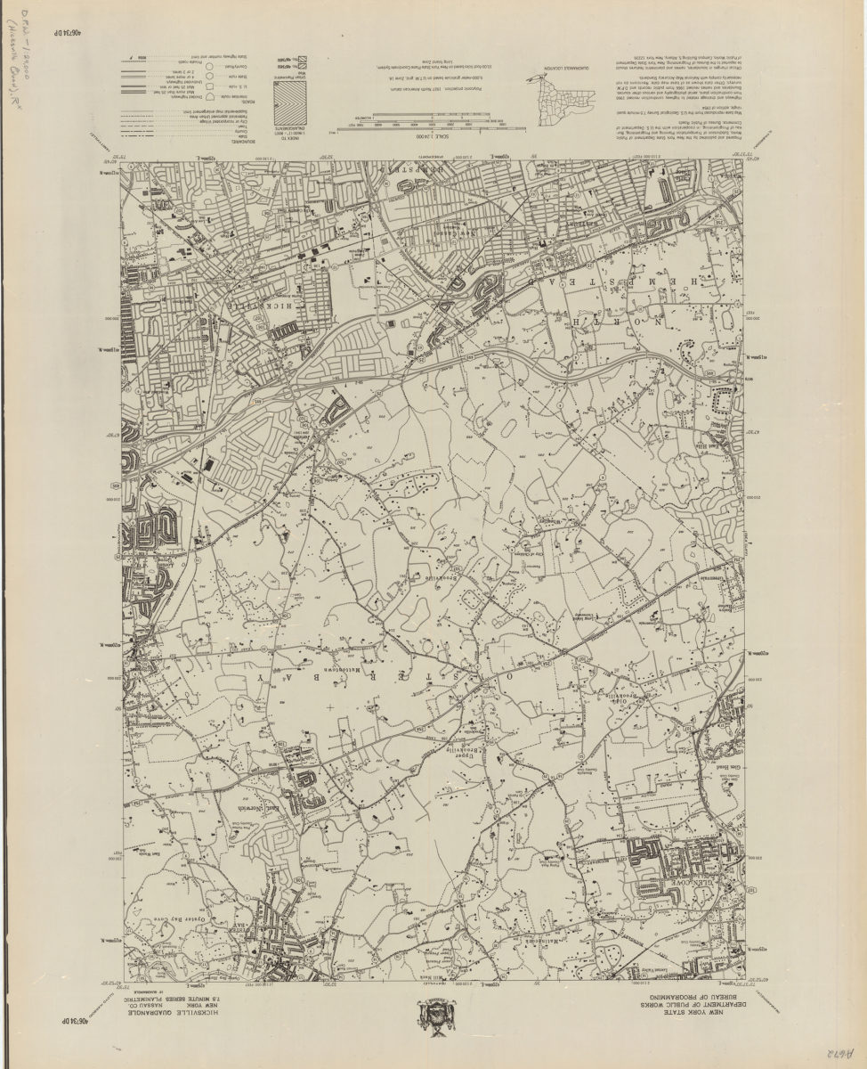
Hicksville quadrangle, New York–Nassau Co
Hicksville quadrangle, New York–Nassau Co
[1966]
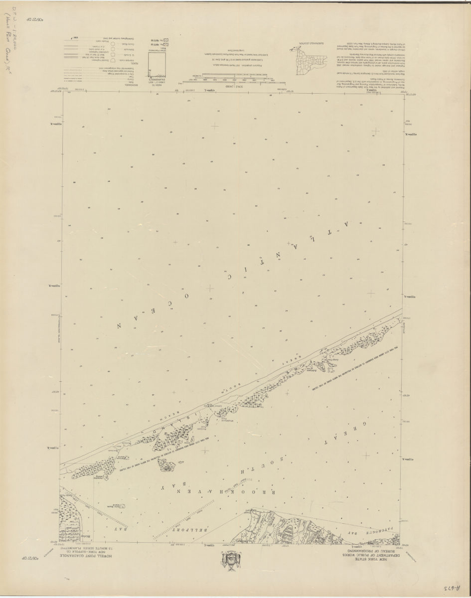
Howell Point quadrangle, New York–Suffolk Co
Howell Point quadrangle, New York–Suffolk Co
[1966]
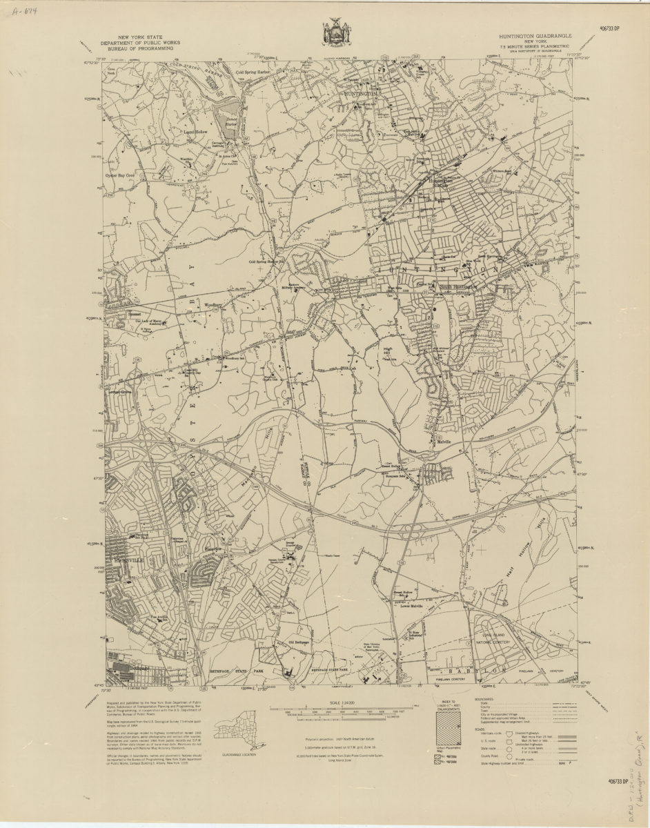
Huntington quadrangle, New York
Huntington quadrangle, New York
[1966]
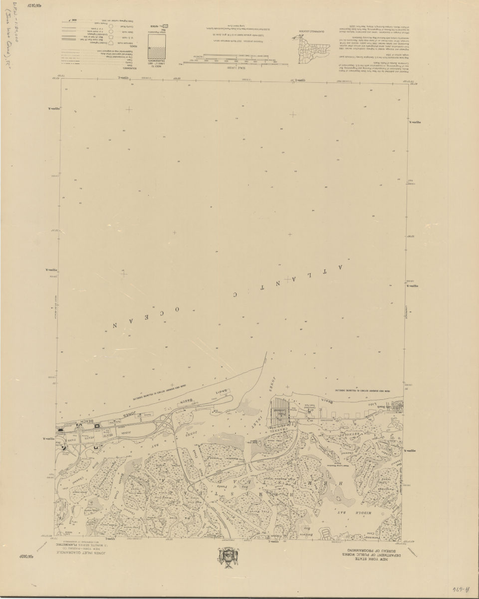
Jones Inlet quadrangle, New York–Nassau Co
Jones Inlet quadrangle, New York–Nassau Co
[1966]
Lawrence quadrangle, New York
Lawrence quadrangle, New York
[1966]
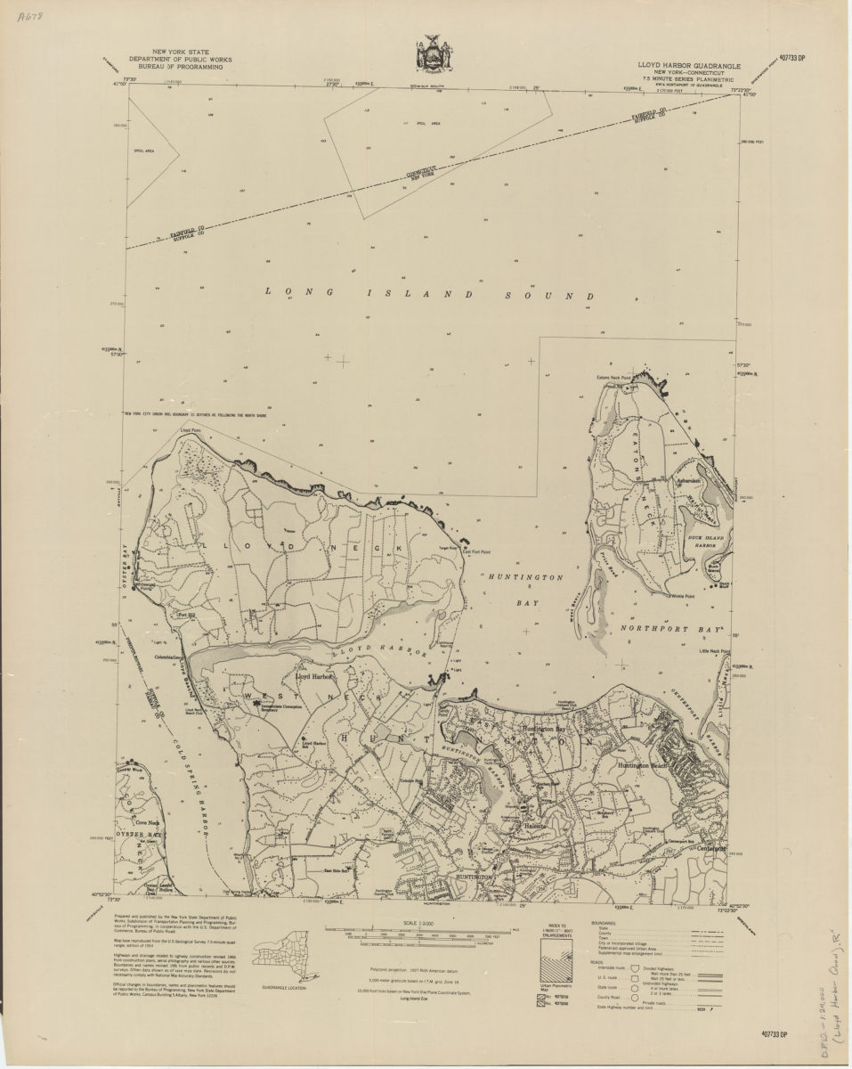
Lloyd Harbor quadrangle, New York–Connecticut
Lloyd Harbor quadrangle, New York–Connecticut
[1966]
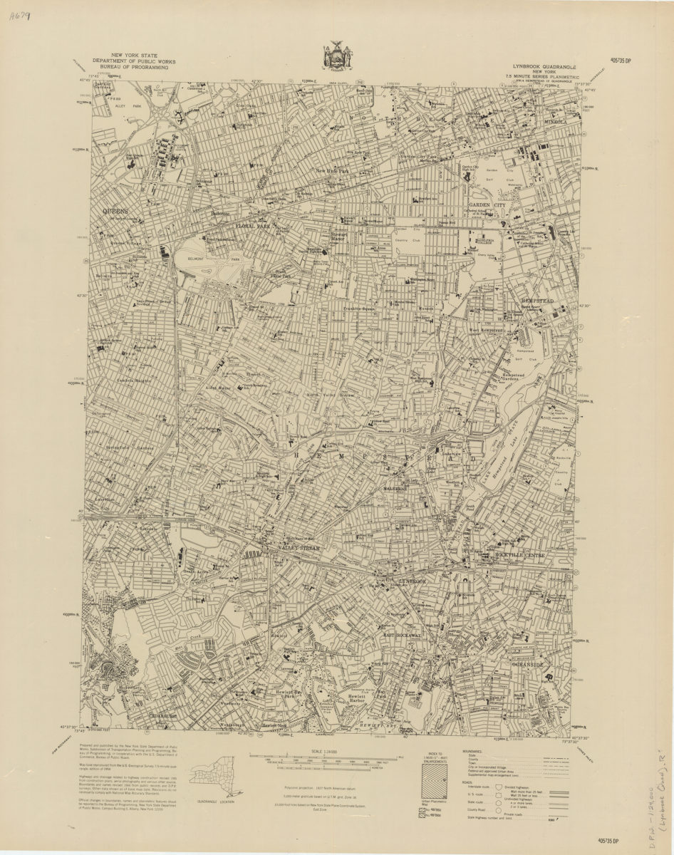
Lynbrook quadrangle, New York
Lynbrook quadrangle, New York
[1966]
Mattituck quadrangle, New York–Suffolk Co
Mattituck quadrangle, New York–Suffolk Co
[1966]
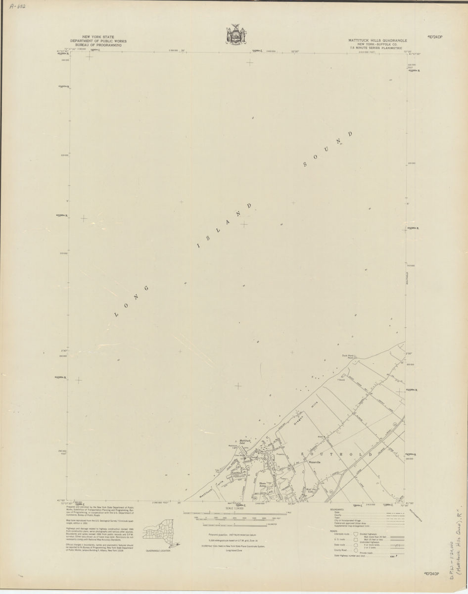
Mattituck Hills quadrangle, New York–Suffolk Co
Mattituck Hills quadrangle, New York–Suffolk Co
[1966]
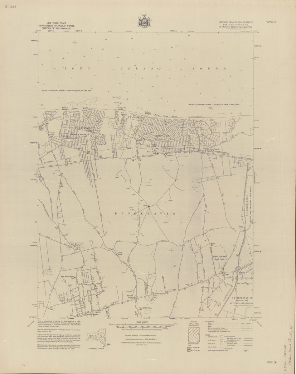
Middle Island quadrangle, New York–Suffolk Co
Middle Island quadrangle, New York–Suffolk Co
[1966]
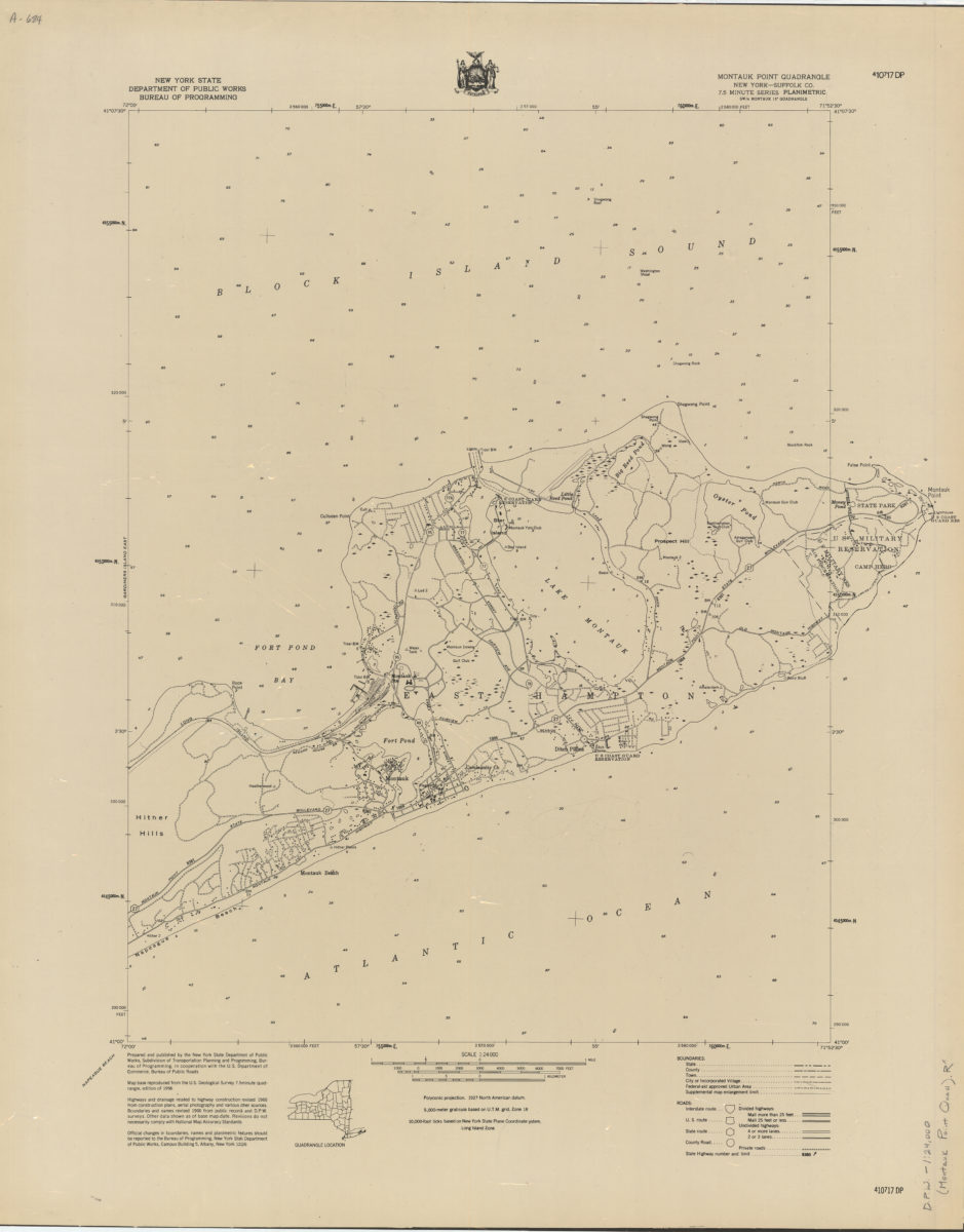
Montauk Point quadrangle, New York–Suffolk Co
Montauk Point quadrangle, New York–Suffolk Co
[1966]
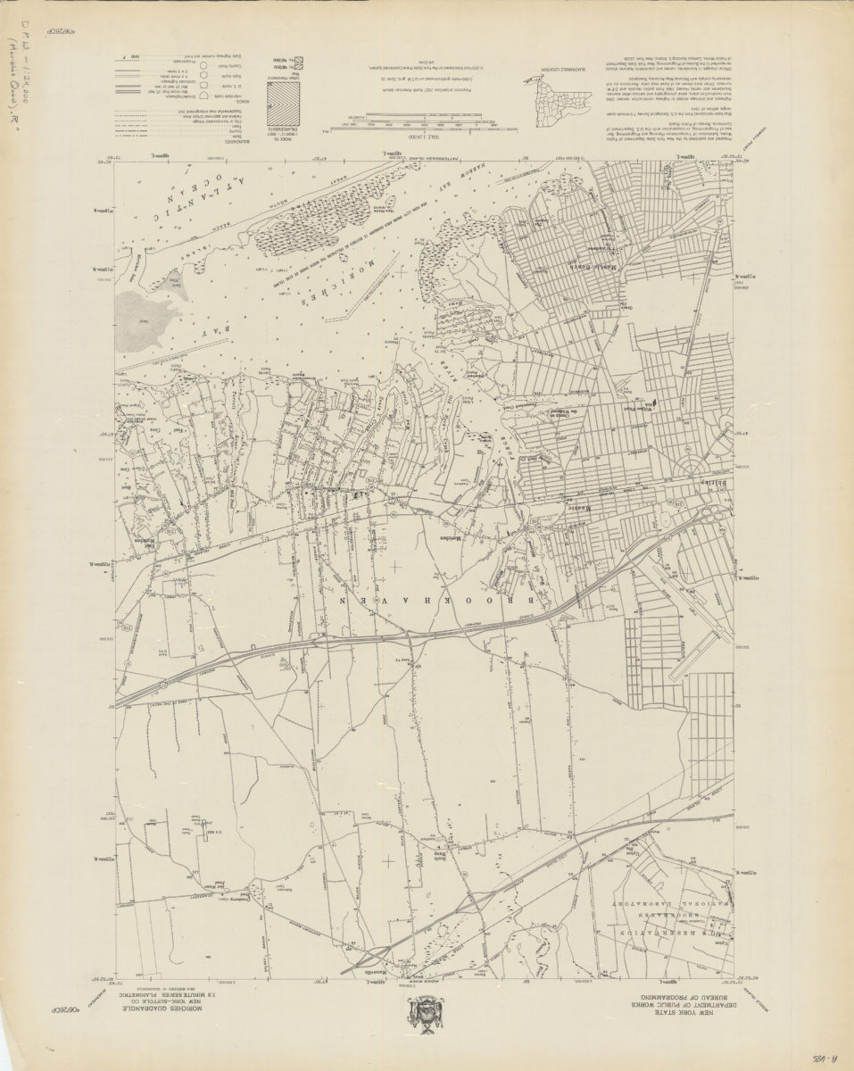
Moriches quadrangle, New York–Suffolk Co
Moriches quadrangle, New York–Suffolk Co
[1966]
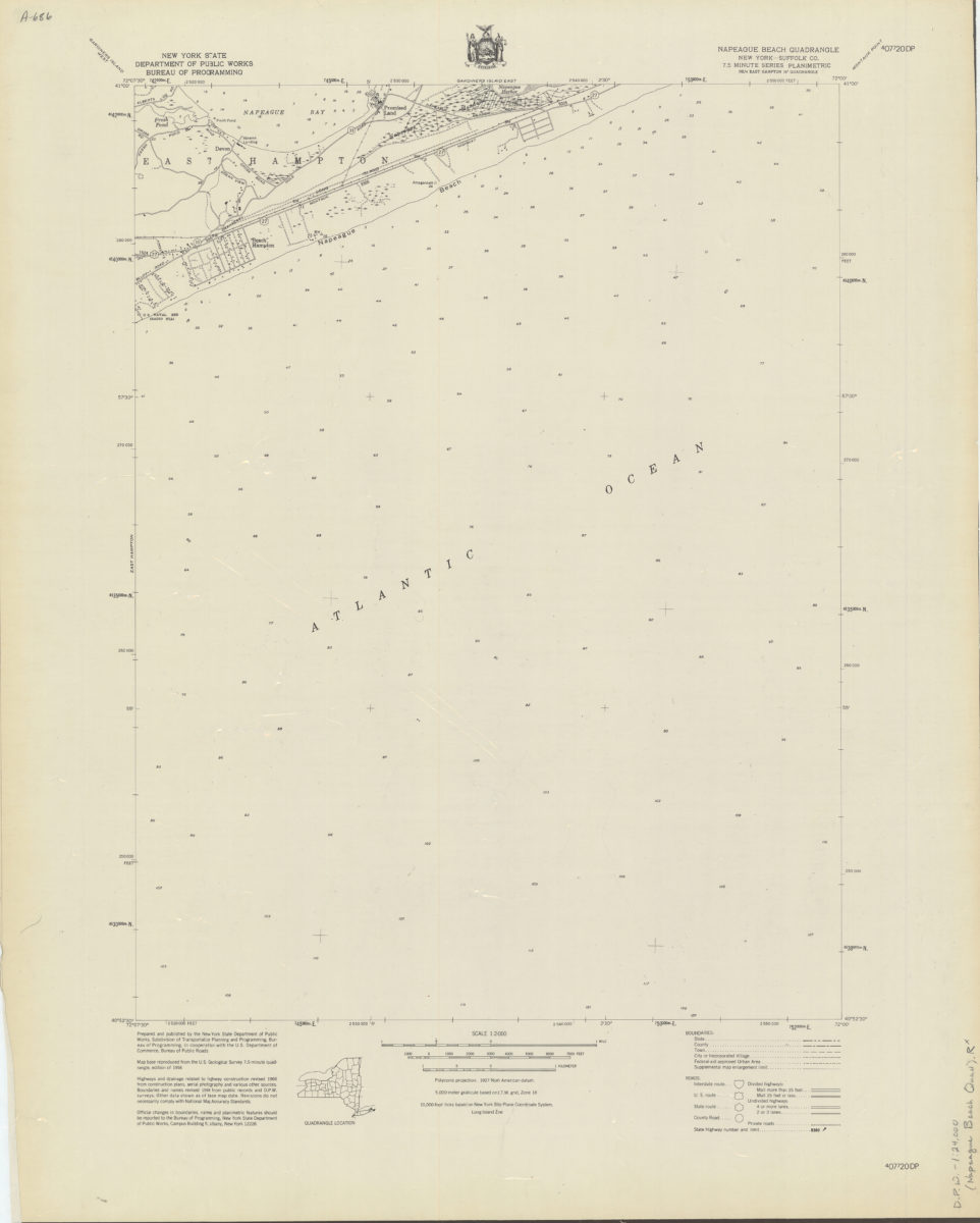
Napeague Beach quadrangle, New York–Suffolk Co
Napeague Beach quadrangle, New York–Suffolk Co
[1966]
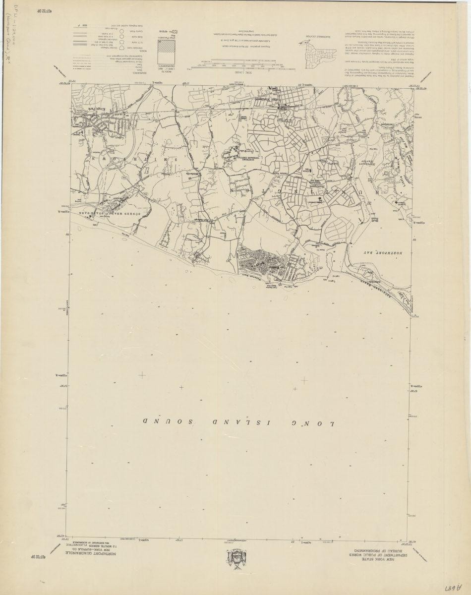
Northport quadrangle, New York–Suffolk Co
Northport quadrangle, New York–Suffolk Co
[1966]
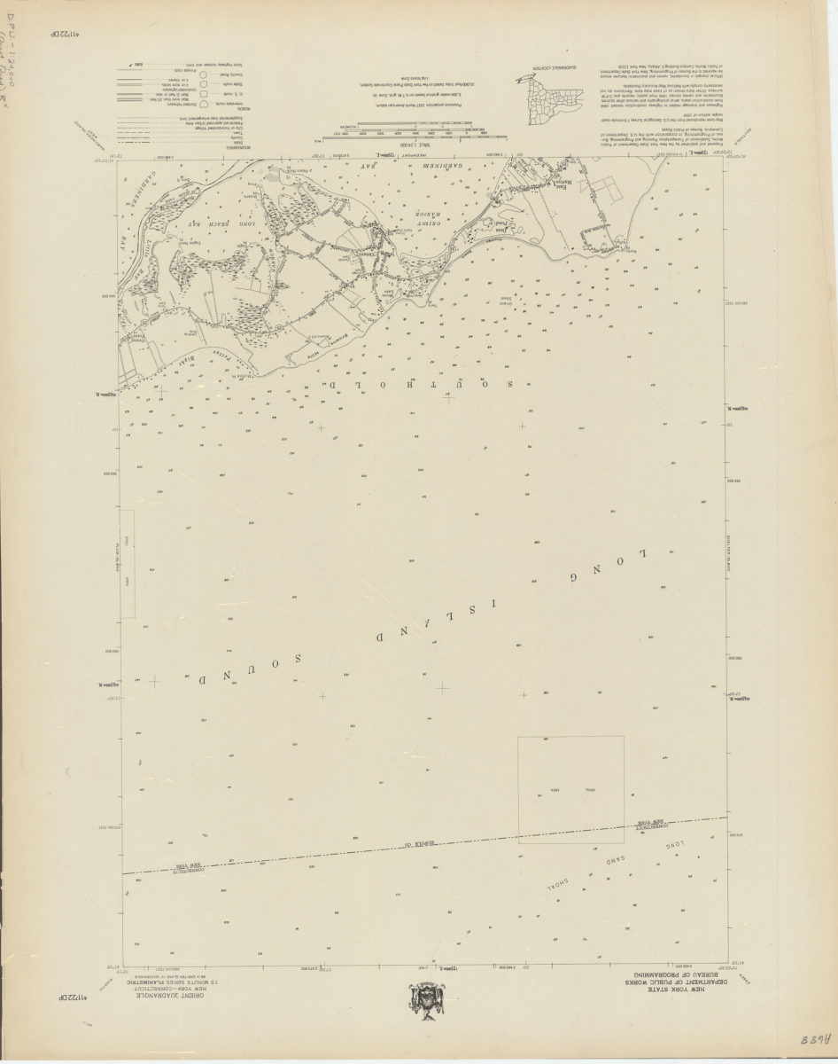
Orient quadrangle, New York–Connecticut
Orient quadrangle, New York–Connecticut
[1966]
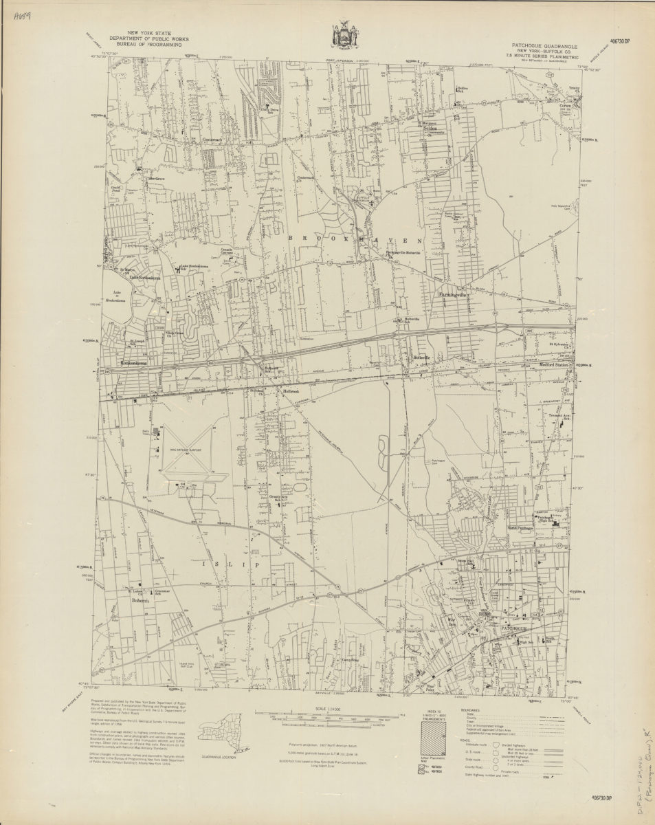
Patchogue quadrangle, New York–Suffolk Co
Patchogue quadrangle, New York–Suffolk Co
[1966]
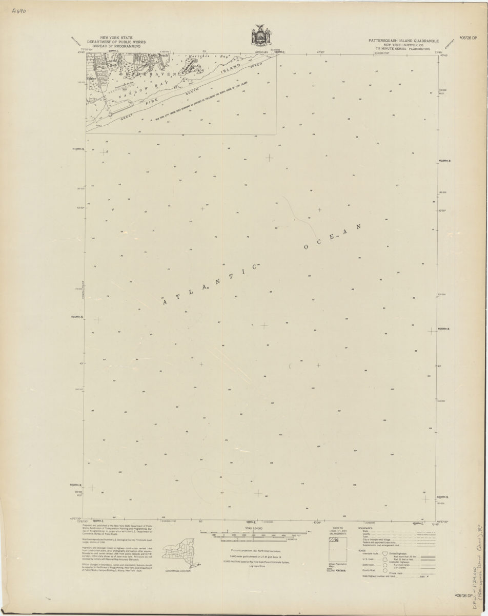
Pattersquash Island quadrangle, New York–Suffolk Co
Pattersquash Island quadrangle, New York–Suffolk Co
[1966]
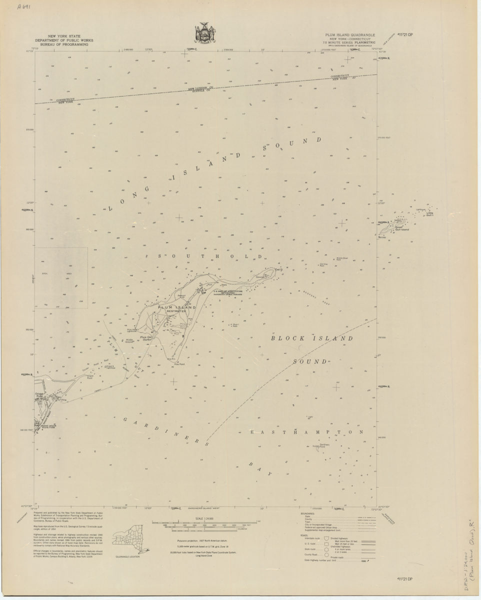
Plum Island quadrangle, New York–Connecticut
Plum Island quadrangle, New York–Connecticut
[1966]
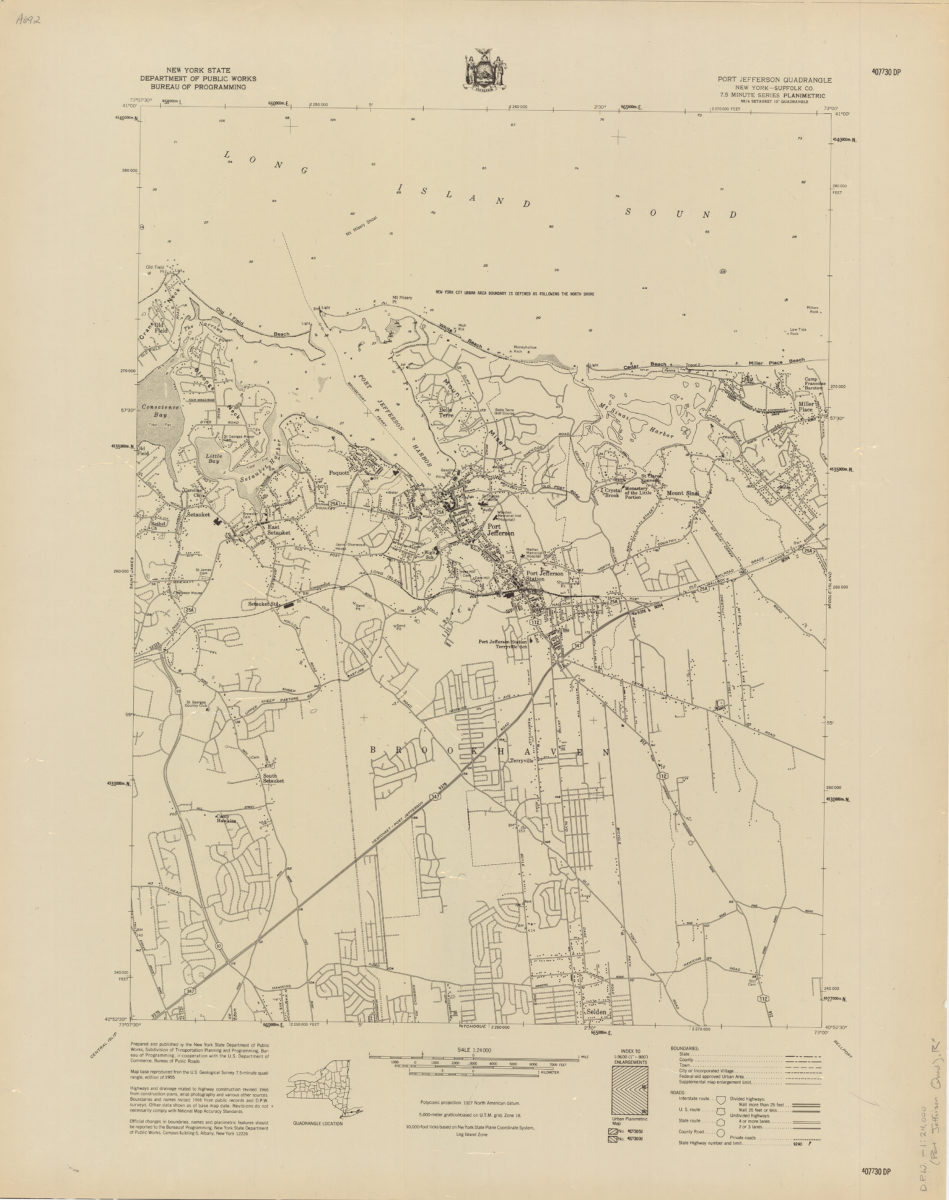
Port Jefferson quadrangle, New York–Suffolk Co
Port Jefferson quadrangle, New York–Suffolk Co
[1966]
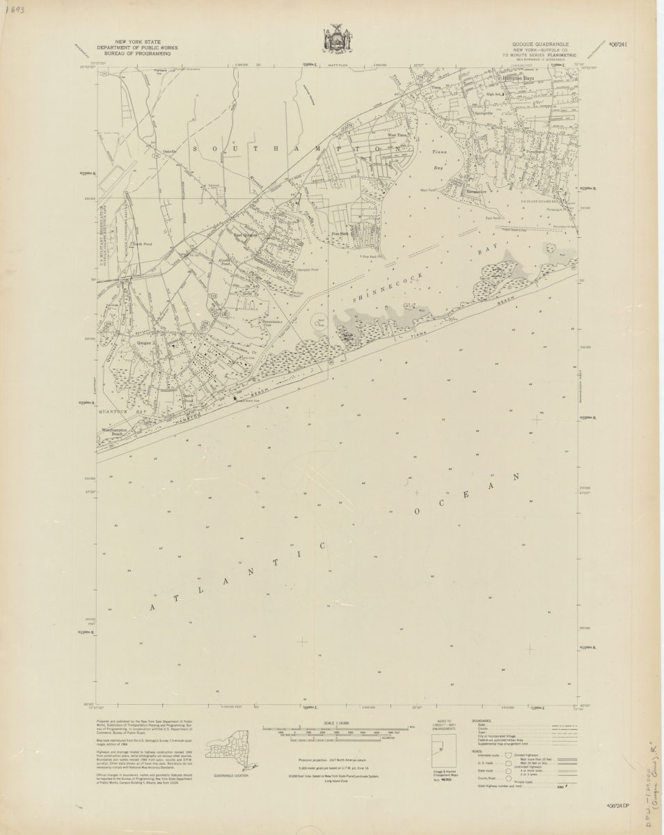
Quogue quadrangle, New York–Suffolk Co
Quogue quadrangle, New York–Suffolk Co
[1966]
Riverhead quadrangle, New York–Suffolk Co
Riverhead quadrangle, New York–Suffolk Co
[1966]
Sayville quadrangle, New York–Suffolk Co
Sayville quadrangle, New York–Suffolk Co
[1966]
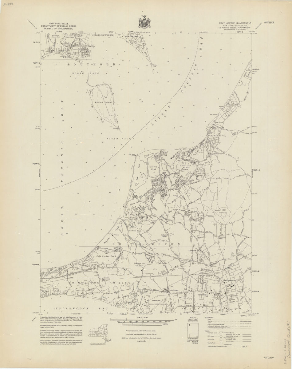
Southampton quadrangle, New York–Suffolk Co
Southampton quadrangle, New York–Suffolk Co
[1966]
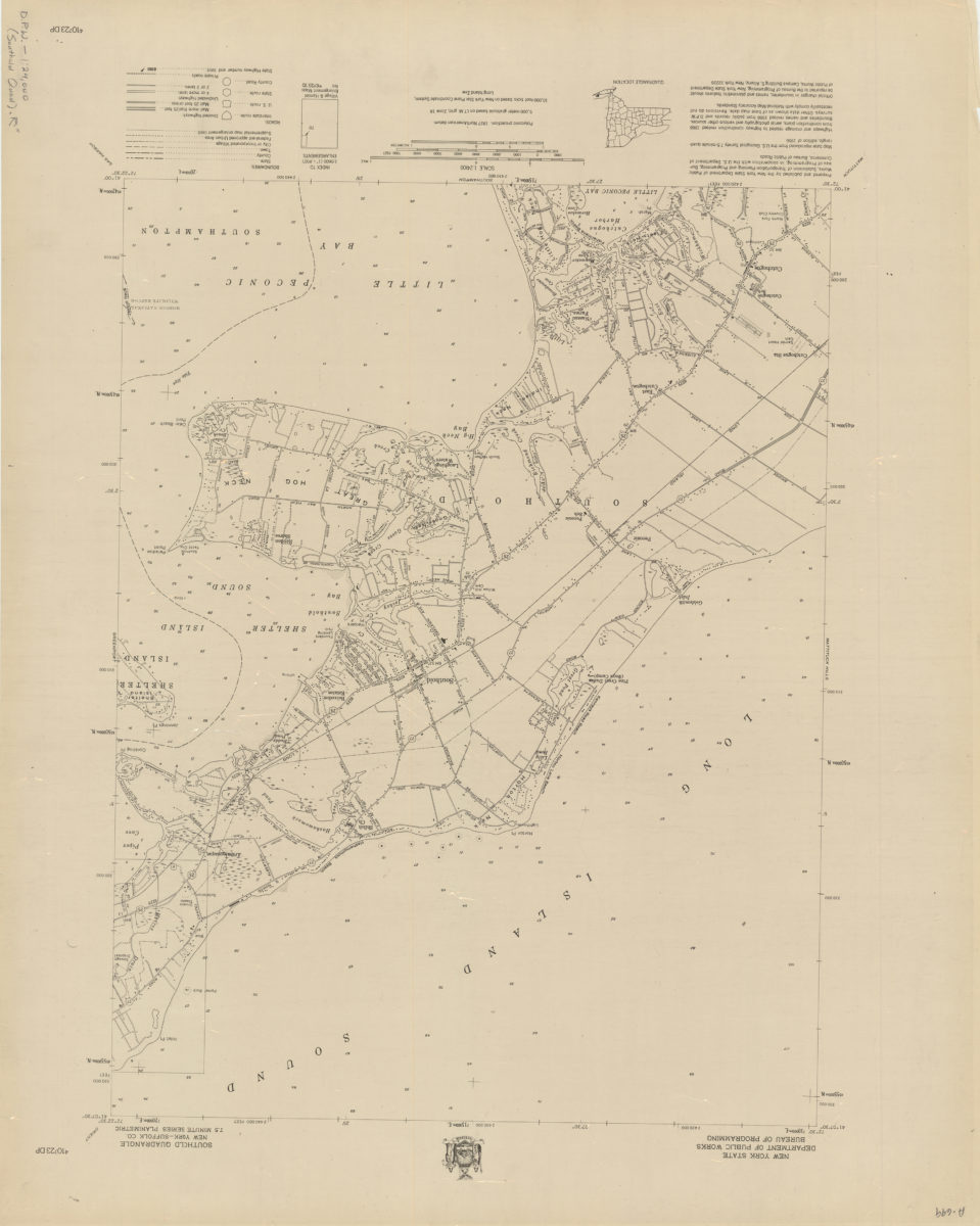
Southold quadrangle, New York–Suffolk Co
Southold quadrangle, New York–Suffolk Co
[1966]
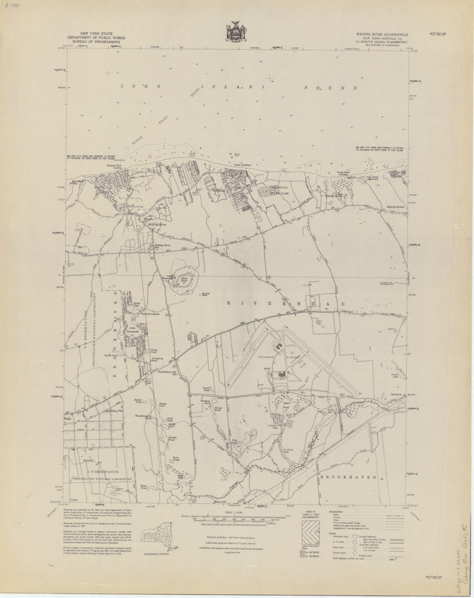
Wading River quadrangle, New York–Suffolk Co
Wading River quadrangle, New York–Suffolk Co
[1966]
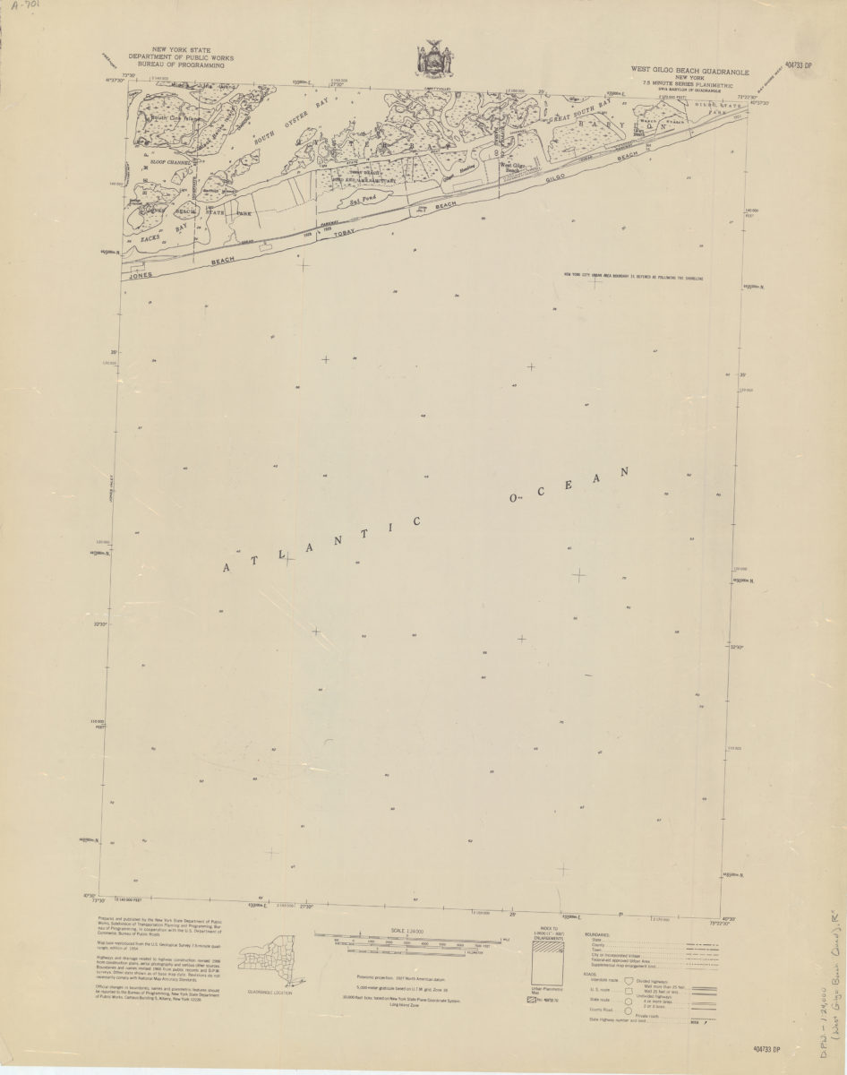
West Gilgo Beach quadrangle, New York
West Gilgo Beach quadrangle, New York
[1966]
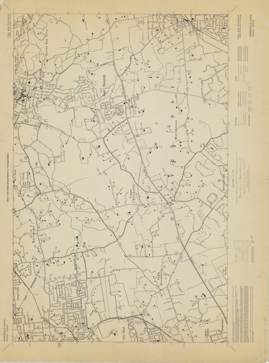
Hicksville (north)-Nassau County: New York State Department of Transportation
Hicksville (north)-Nassau County: New York State Department of Transportation
[1966]
Previous
1
2
3
Next