Center for Brooklyn History
Map Collections
Search
About
Othmer Library & Archives
Submit search query
Refine 120 records
Clear filter
1
Location
Abingdon Square (New York, N.Y.)
1
Battery Park (New York, N.Y.)
3
Bergen County (N.J.)
6
Bronx (New York, N.Y.)
10
Brooklyn (New York, N.Y.)
891
Brooklyn Heights (New York, N.Y.)
76
Buffalo (N.Y.)
3
Central Park (New York, N.Y.)
3
City Hall Park (New York, N.Y.)
1
Columbus Park (New York, N.Y.)
1
Croton Aqueduct (N.Y.)
3
Duane Street Park (New York, N.Y.)
1
East Harlem (New York, N.Y.)
1
East River (N.Y.)
3
ferries
1
Flatiron District (New York, N.Y.)
1
Fort Washington (New York, N.Y.)
2
Gramercy Park (New York, N.Y.)
1
Harlem (New York, N.Y.)
1
Hudson County (N.J.)
3
Inwood (New York, N.Y.)
1
Jamaica Bay (N.Y.)
5
Jersey City (N.J.)
4
Long Island (N.Y.)
197
Madison Square Park (New York, N.Y.)
1
Manhattan (New York, N.Y.)
120
New Jersey
27
New York (N.Y.)
164
New York (State)
95
New York Metropolitan Area
40
Queens (New York, N.Y.)
83
Staten Island (N.Y.)
10
Stuyvesant Square (New York, N.Y.)
1
Tompkins Square (New York, N.Y.)
1
Union Square (New York, N.Y.)
1
United States
10
Upper East Side (New York, N.Y.)
1
Upper West Side (New York, N.Y.)
2
Washington Heights (New York, N.Y.)
2
Washington Square (New York, N.Y.)
1
Westchester County (N.Y.)
11
Williamsburg (New York, N.Y.)
36
Show 22 more
Subject
Advertising
4
Airports
2
Aqueducts
3
Bicycle stores
12
Bicycle trails
17
Buildings
12
Bus lines
20
Bus travel
22
Canals
15
Central business districts
10
Cycling
12
Ethnic neighborhoods
2
Ethnology
3
Exhibitions
5
ferries
32
Ferry routes
3
Fills (Earthwork)
4
Fire protection districts
2
Fires
1
Fortification
7
Harlem Heights, Battle of, N.Y.
1
Housing
4
Landforms
15
Landowners
434
Local transit
63
Manuscript Maps
2
Market surveys
4
Minorities
2
New York (N.Y.)
1
Parks
35
Piers
25
Ponds
6
Postal codes
4
Railroads
72
Railroads, Elevated
24
Real property
619
Rent
4
Reservoirs
2
Rivers
16
Roads
117
Shorelines
3
Street addresses
11
Street railroads
8
Streets
46
Subways
55
Swamps
2
Wetlands
6
Show 27 more
Date
19th Century
945
20th Century
469
21th Century
66
or enter range:
from
to
Genres
Aerial views
15
Bathymetric maps
94
Cadastral maps
597
Early maps
35
Early works
3
Facsimiles
1
Historical maps
53
Manuscript maps
365
Map
191
Military maps
23
Physical maps
4
Pictorial maps
38
Pictorial works
1
Population maps
6
Road maps
83
Thematic maps
60
Topographic maps
70
Tourist maps
55
Transportation maps
120
Zoning maps
55
Sort by:
Date (earliest)
Date (most recent)
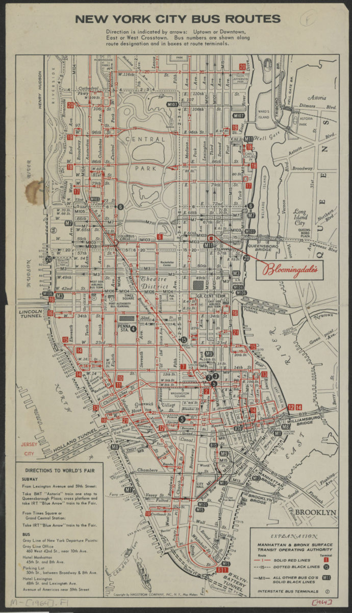
New York City bus routes
New York City bus routes
[1964]
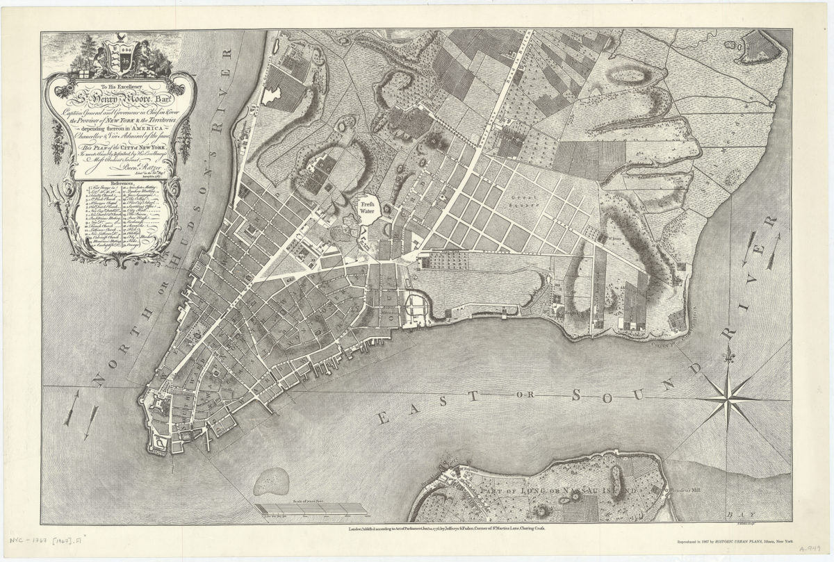
To His Excellency Sr. Henry Moore, Bart. … this plan of the city of New York, is most humbly inscribed: by … Bernd. Ratzer
To His Excellency Sr. Henry Moore, Bart. … this plan of the city of New York, is most humbly inscribed: by … Bernd. Ratzer
1967
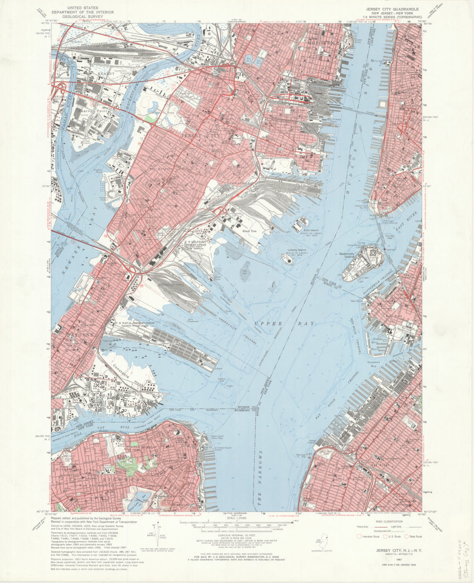
Jersey City quadrangle, New Jersey – New York: mapped, edited, and published by the Geological Survey ; revised in cooperation with New York Dept. of Transportation
Jersey City quadrangle, New Jersey – New York: mapped, edited, and published by the Geological Survey ; revised in cooperation with New York Dept. of Transportation
1967
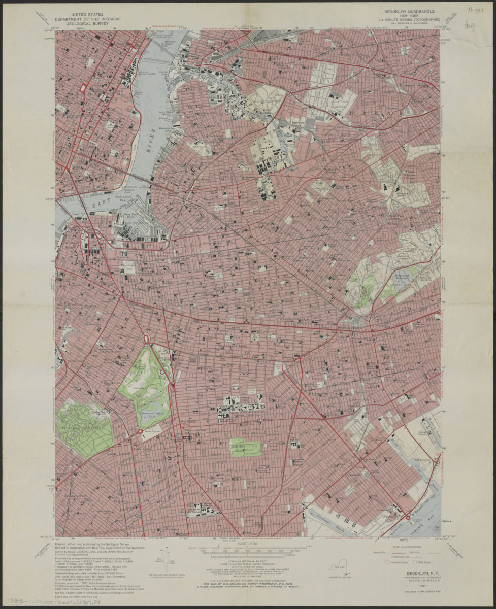
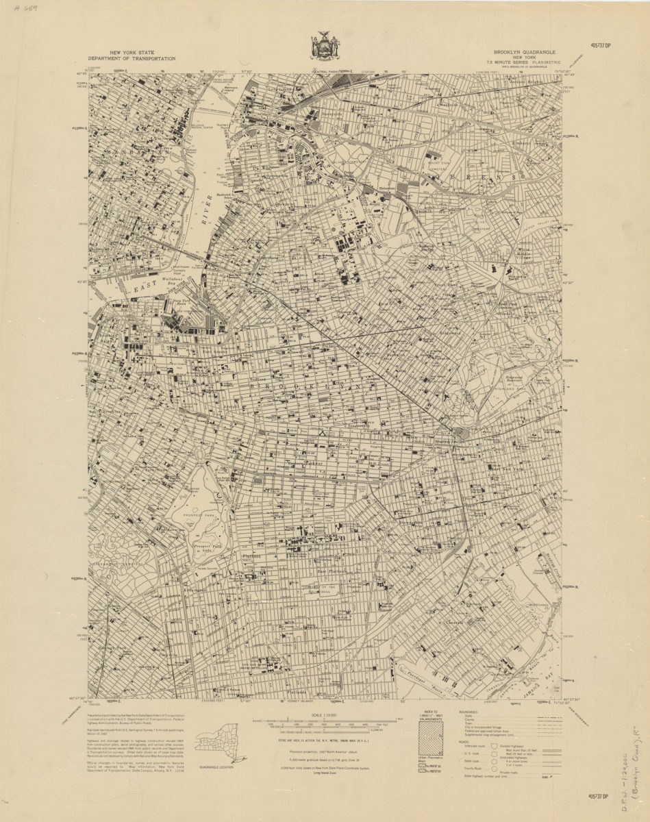
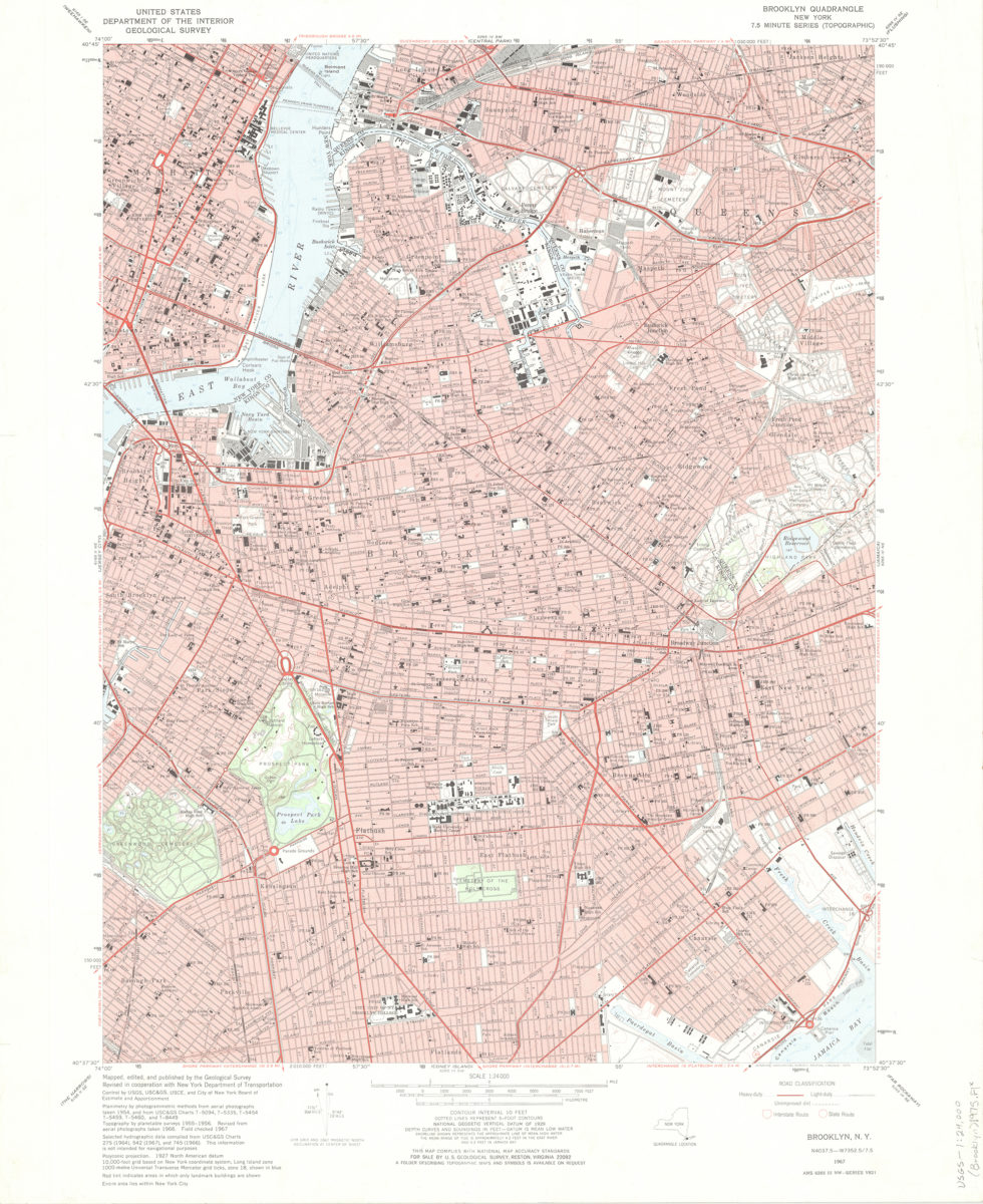
Brooklyn quadrangle, New York
Brooklyn quadrangle, New York
1967
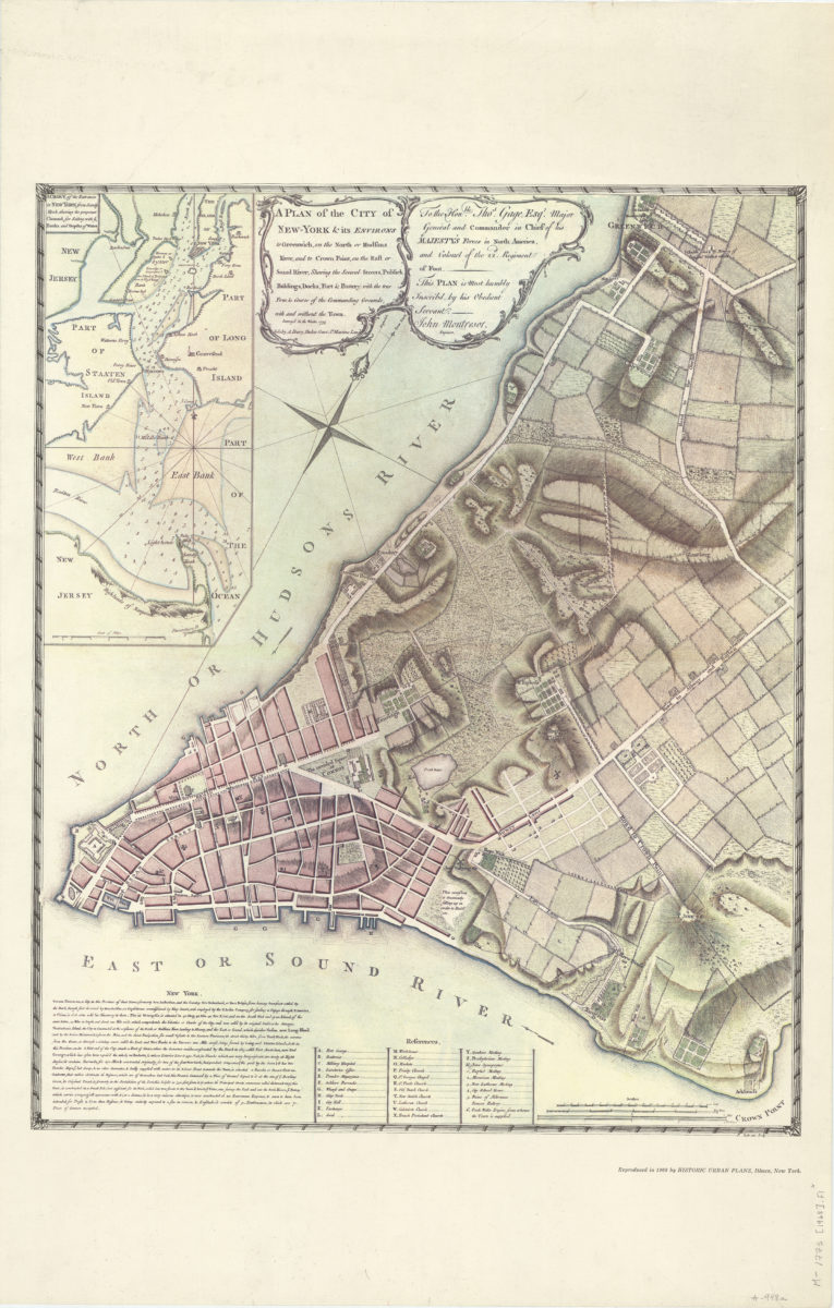
A plan of the city of New-York & its environs: to Greenwich, on the North or Hudsons River, and to Crown Point, on the East or Sound River, shewing [i.e. showing] the several streets, publick [i.e. public] buildings, docks, fort & battery
A plan of the city of New-York & its environs: to Greenwich, on the North or Hudsons River, and to Crown Point, on the East or Sound River, shewing [i.e. showing] the several streets, publick [i.e. public] buildings, docks, fort & battery
1968
Brooklyn quadrangle, New York
Brooklyn quadrangle, New York
[1969]
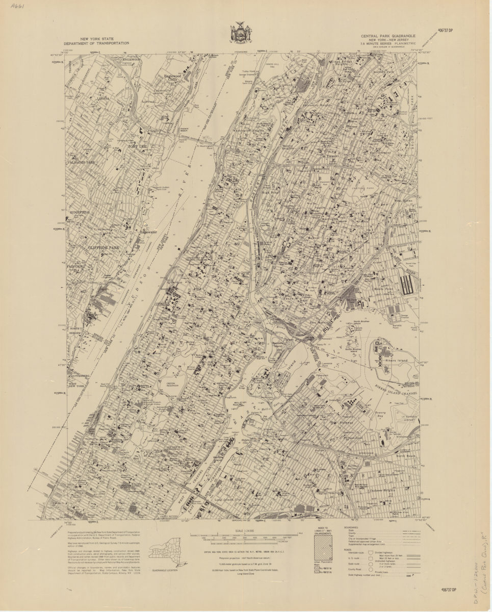
Central Park quadrangle, New York
Central Park quadrangle, New York
[1969]
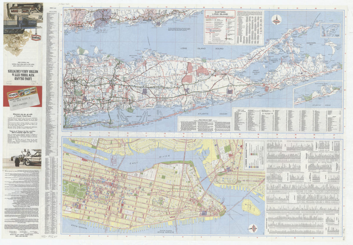
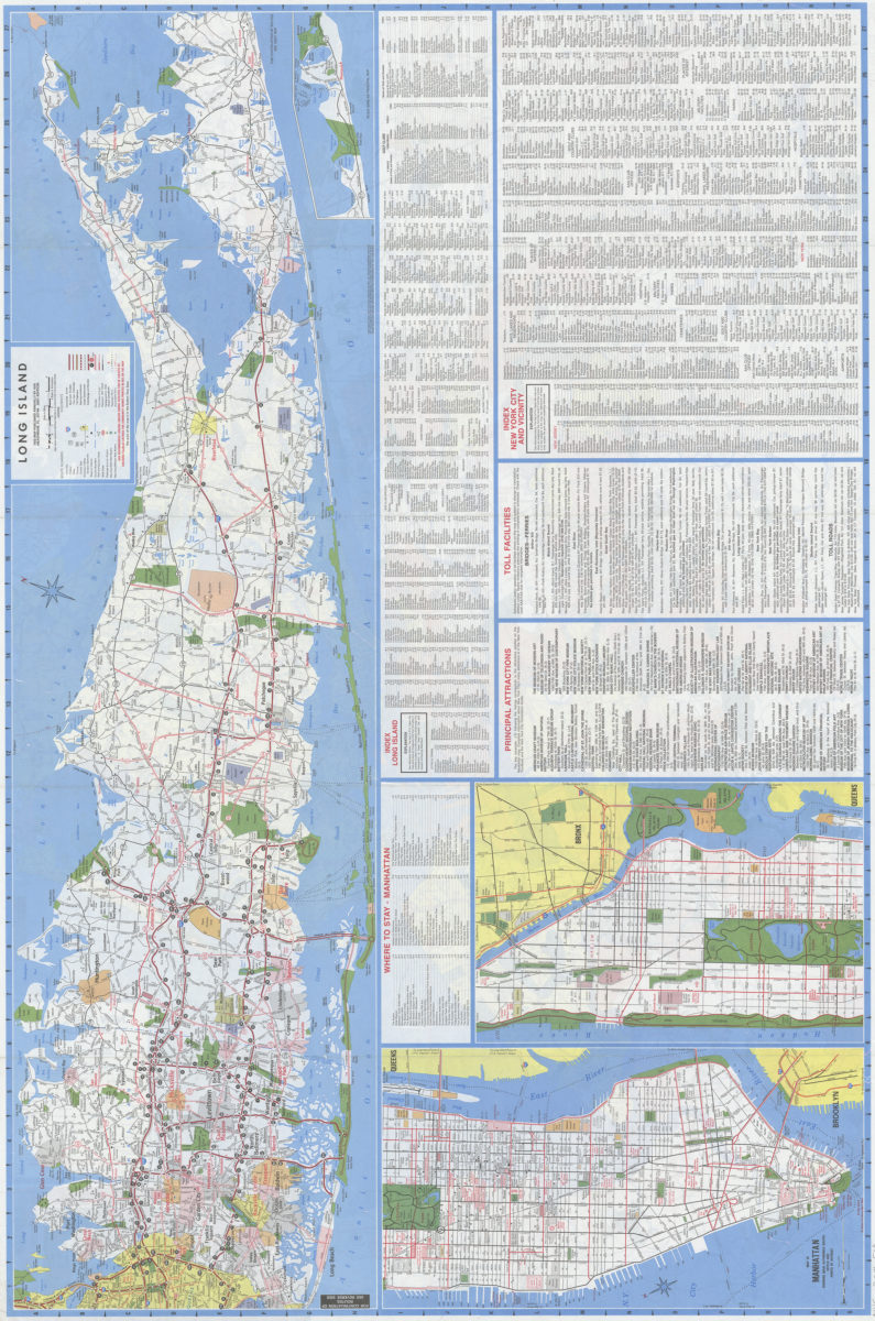
Long Island, New York City & metro area counties
Long Island, New York City & metro area counties
[1972]
Brooklyn quadrangle, New York: mapped, edited, and published by the Geological Survey ; revised in cooperation with New York Department of Transportation
Brooklyn quadrangle, New York: mapped, edited, and published by the Geological Survey ; revised in cooperation with New York Department of Transportation
1975
Long Island, New York City & metro area counties: [prepared for] Texaco
Long Island, New York City & metro area counties: [prepared for] Texaco
1975
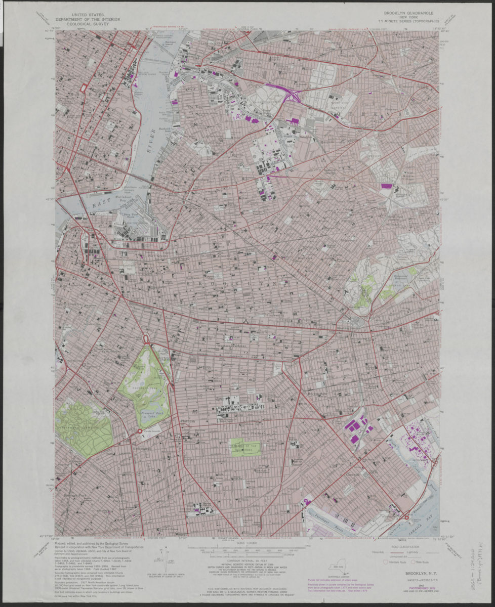
Brooklyn quadrangle, New York: mapped, edited, and published by the Geological Survey ; revised in cooperation with New York Department of Transportation
Brooklyn quadrangle, New York: mapped, edited, and published by the Geological Survey ; revised in cooperation with New York Department of Transportation
1979
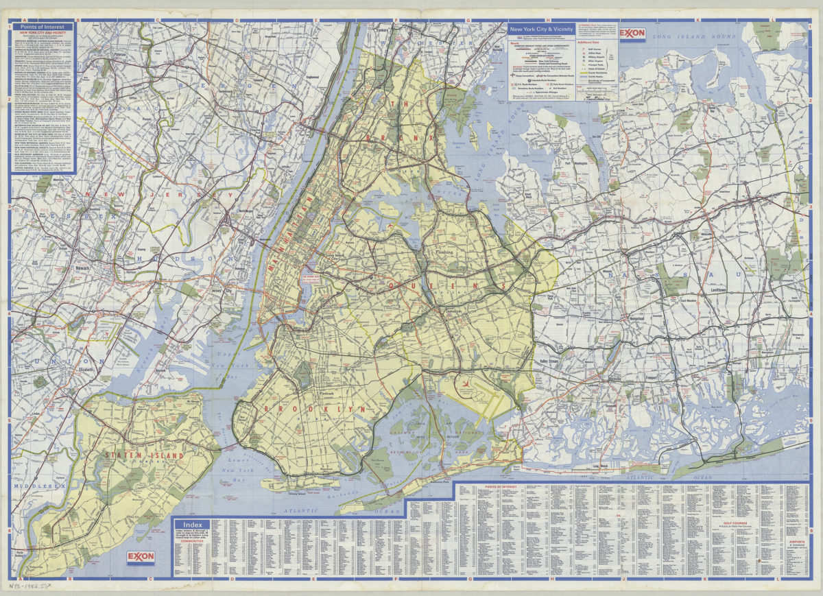
New York City and Long Island: featuring complete index, special area maps, recreation areas, points of interest text: Exxon
New York City and Long Island: featuring complete index, special area maps, recreation areas, points of interest text: Exxon
[ca. 1982]
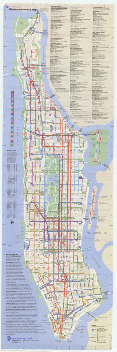
Manhattan bus map: September 2000, free: MTA New York City Transit
Manhattan bus map: September 2000, free: MTA New York City Transit
[ca. 2000]
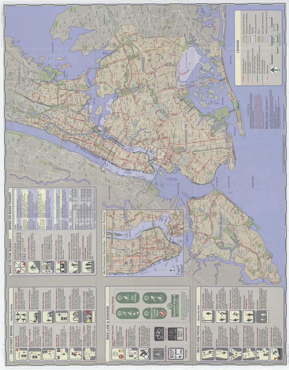
NYC cycling map, Manhattan, 2001: double-sided map featuring Manhattan bicycle routes and major citywide bicycle routes: … designed by in-agency staff at the New York City Department of City Planning and Department of Transportation Bicycle Program
NYC cycling map, Manhattan, 2001: double-sided map featuring Manhattan bicycle routes and major citywide bicycle routes: … designed by in-agency staff at the New York City Department of City Planning and Department of Transportation Bicycle Program
[2001]
New York City, New York, including Long Island: Downtown & vicinity: AAA
New York City, New York, including Long Island: Downtown & vicinity: AAA
[2001]
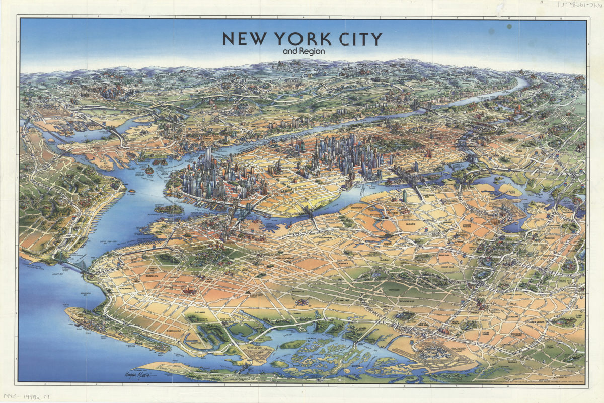
New York City and region: produced and published by Unique Media Incorporated
New York City and region: produced and published by Unique Media Incorporated
[ca. 2008]
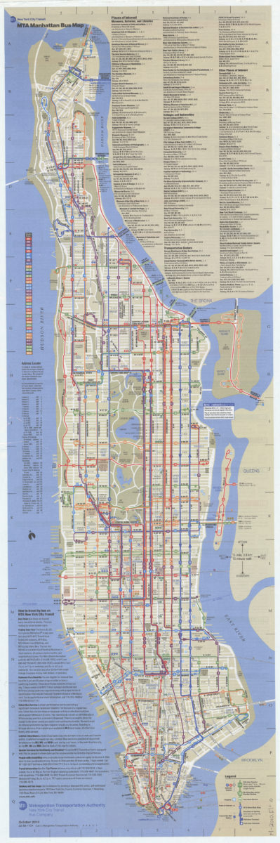
Manhattan bus map: October 2010: MTA
Manhattan bus map: October 2010: MTA
[2010; 2010]
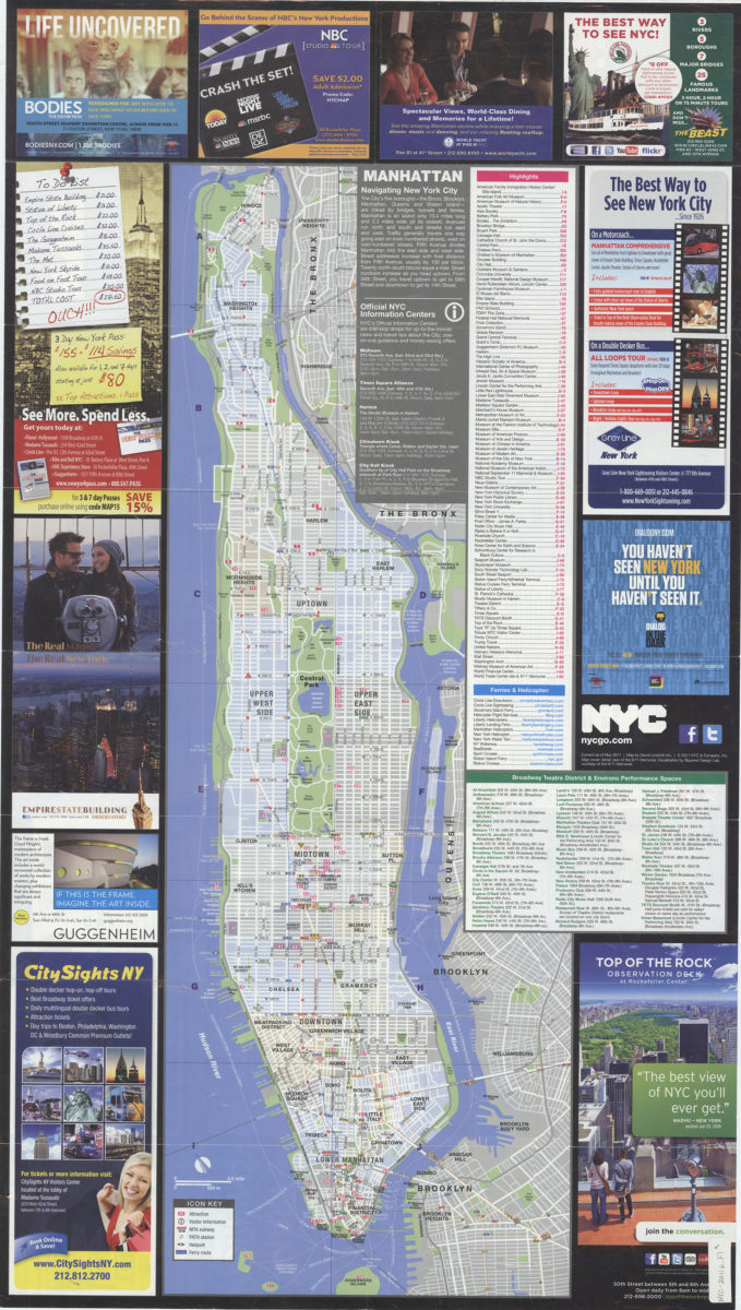
NYC official visitor map 2011: map by David Lindroth Inc
NYC official visitor map 2011: map by David Lindroth Inc
[ca. 2011]
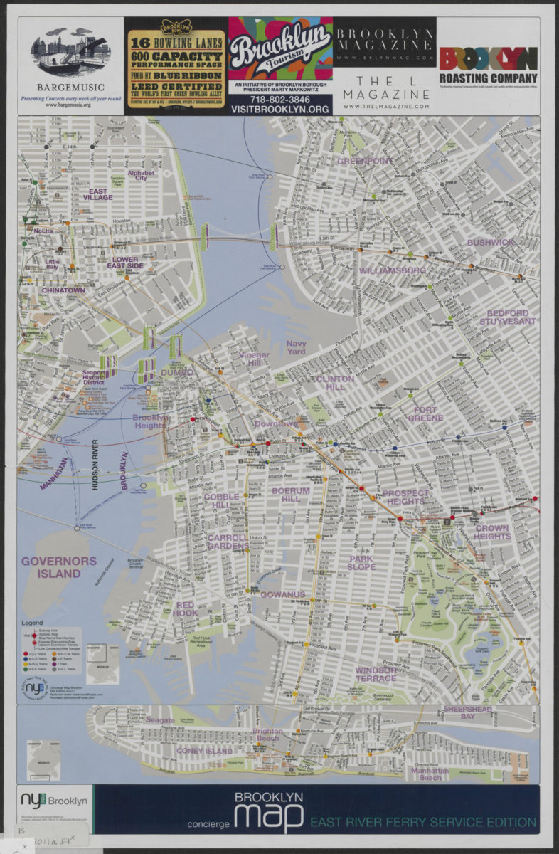
Concierge Brooklyn map: East River Ferry service edition
Concierge Brooklyn map: East River Ferry service edition
[2011; 2011]
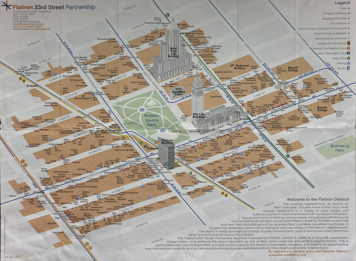
Discover Flatiron map: Flatiron 23rd Street Partnership
Discover Flatiron map: Flatiron 23rd Street Partnership
[2011]
Previous
1
2
3