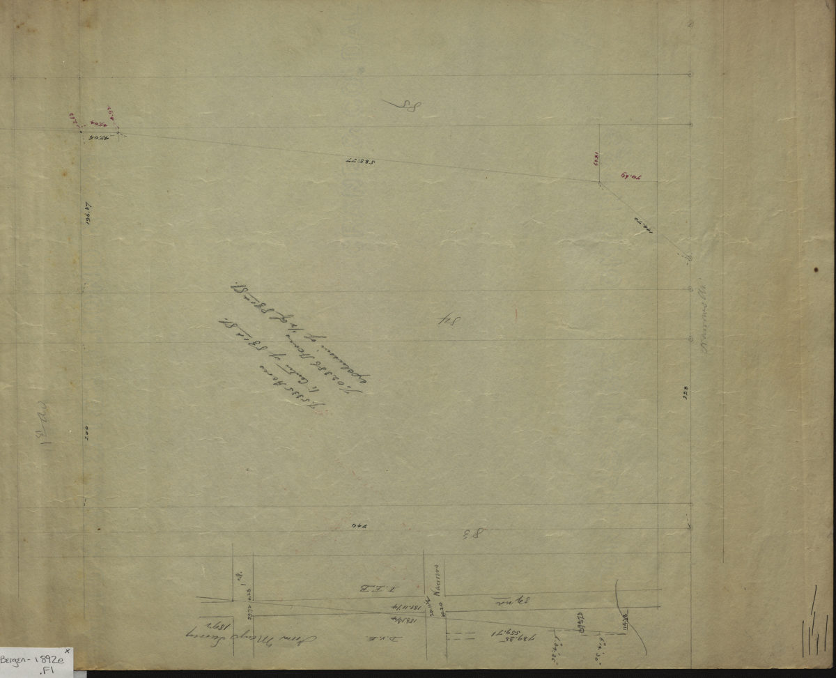
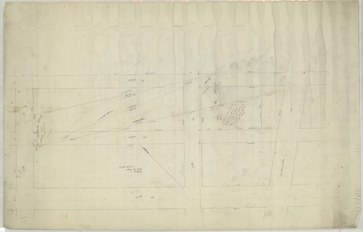
[Map of area bounded by 8th Ave., 65th St., Fort Hamilton Ave., and 63rd St.]: V.B.B. [Van Brunt Bergen]
August 19, 1893
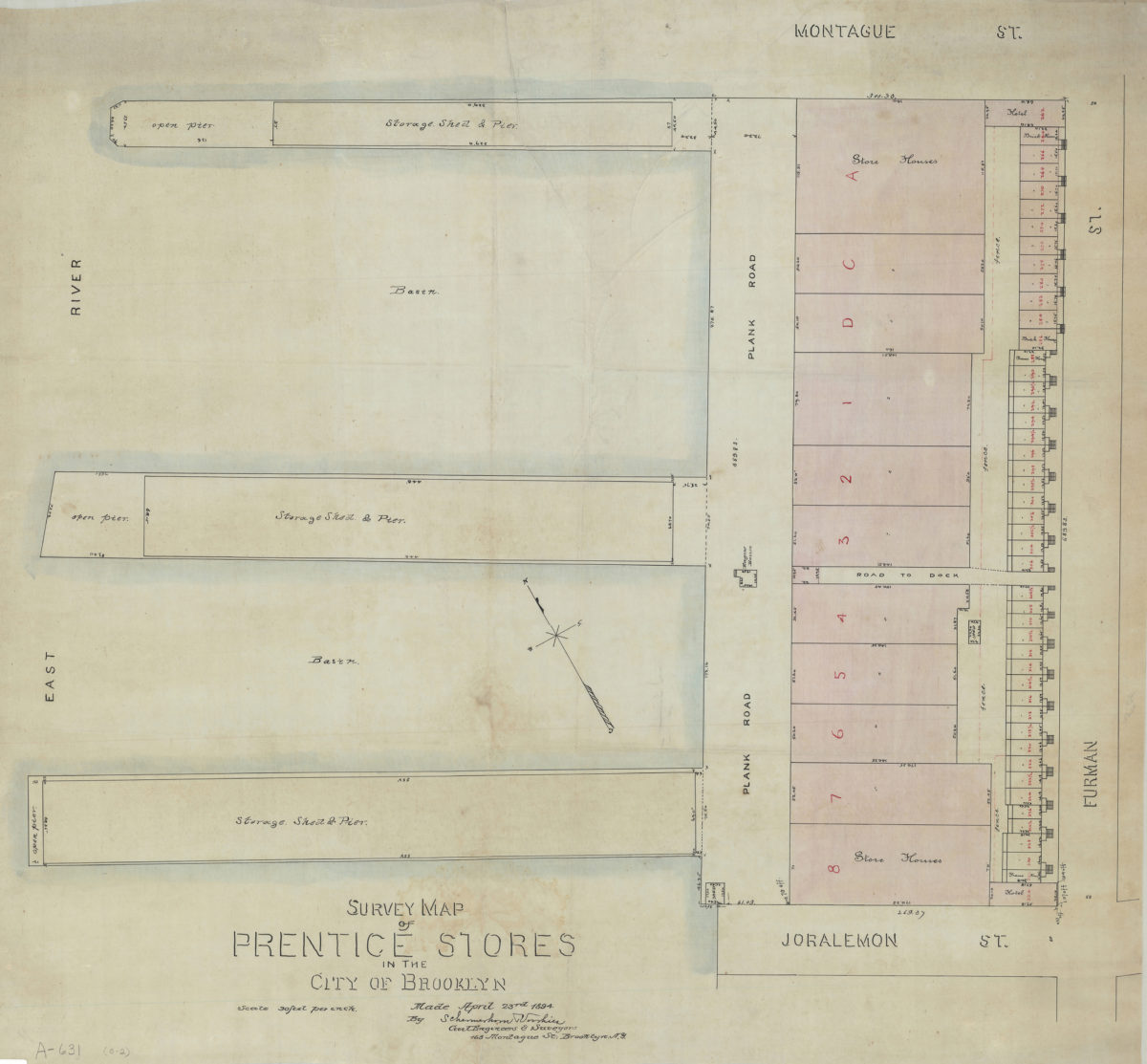
Survey map of Prentice Stores in the city of Brooklyn: by Schermerhorn [and] Voorhies, civil engineers & surveyors
April 23, 1894
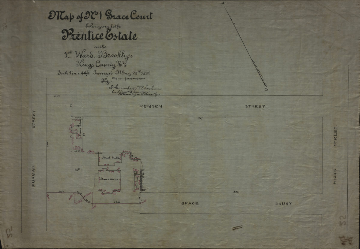
[Map of properties at Montague Pl. and Furman St.]: surveyed by Ludlam & Stuchfield, city surveyors
December 4, 1894
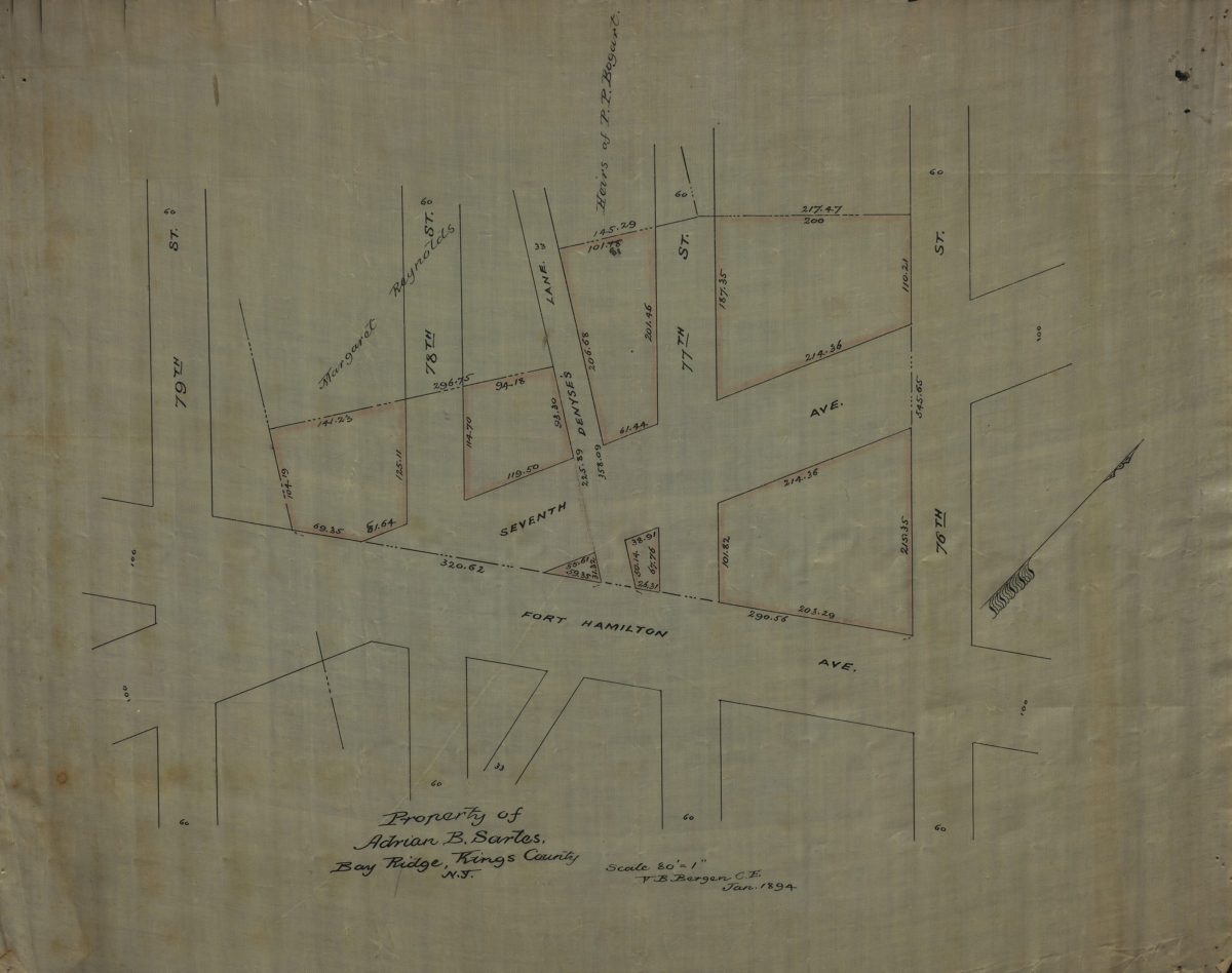
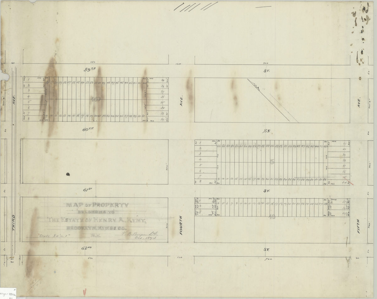
Map of property belonging to Henry A. Kent, Brooklyn, Kings Co., N.Y.: V.B. Bergen, C.E.
October 1894
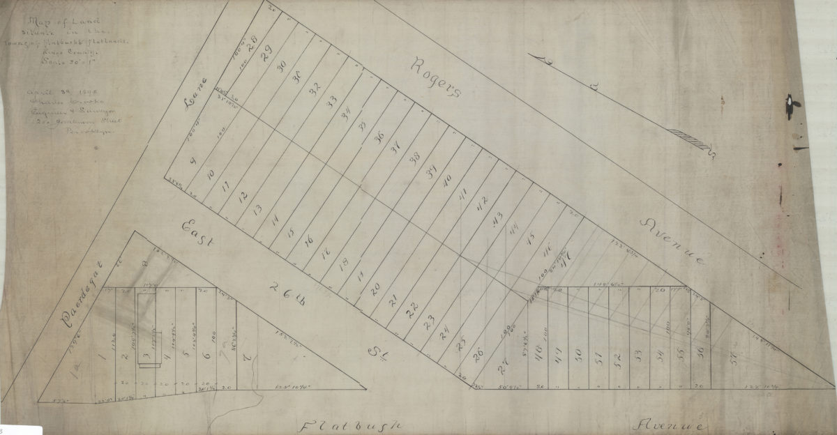
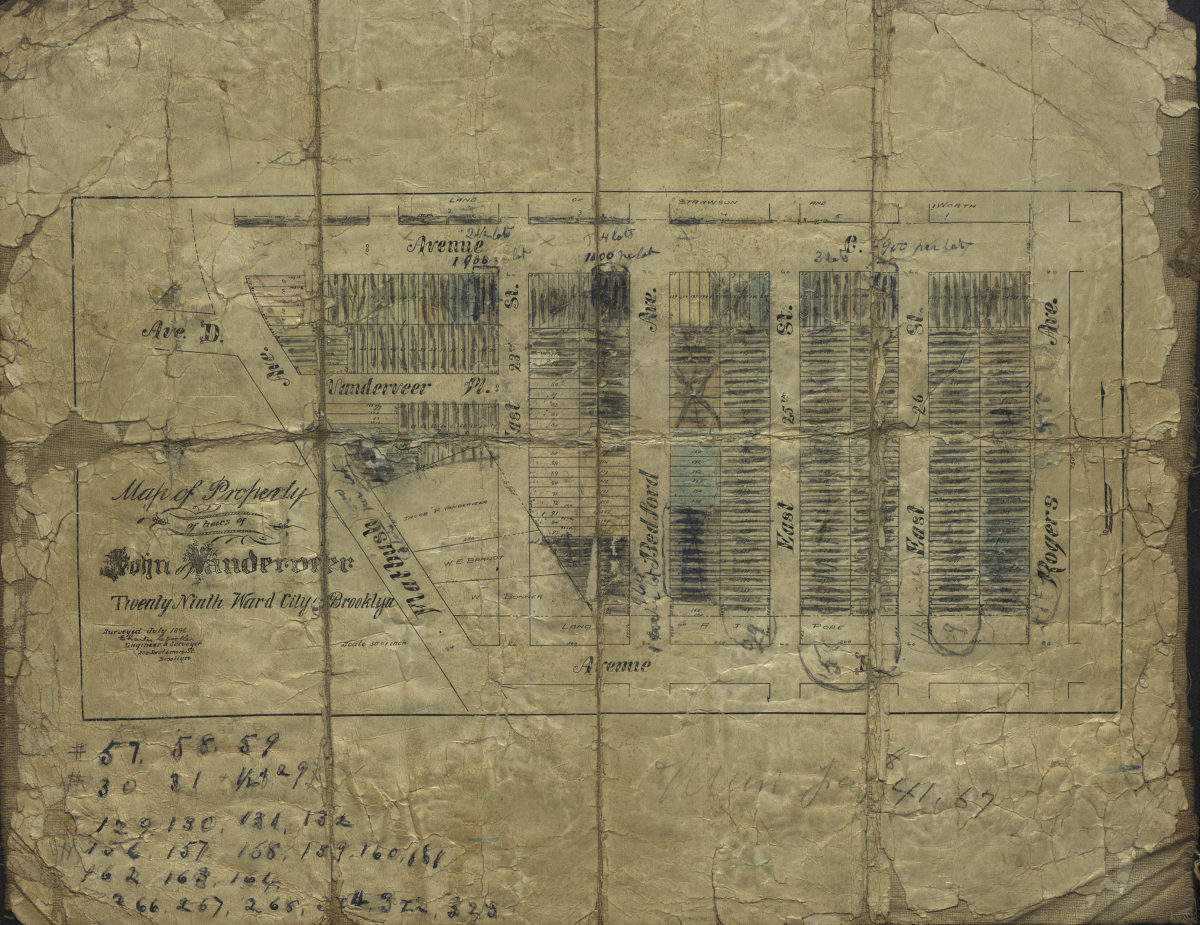
Map of land situate[d] in the towns of Flatbush & Flatlands, Kings County: Charles Crooke, engineer & surveyor
April 8, 1895
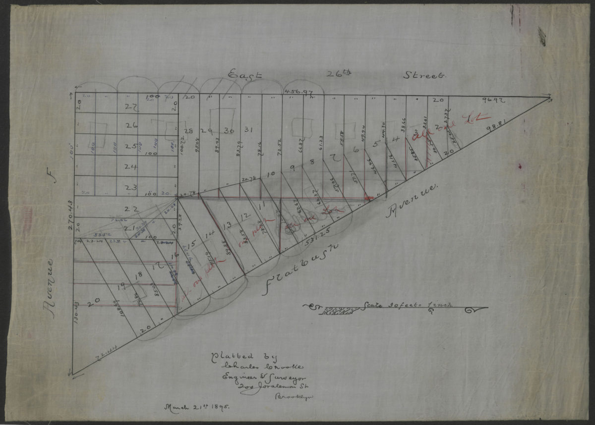
[Map of area bounded by Flatbush Ave., E. 26th St., and Ave. F]: platted by Charles Crooke, engineer & surveyor
March 21, 1895
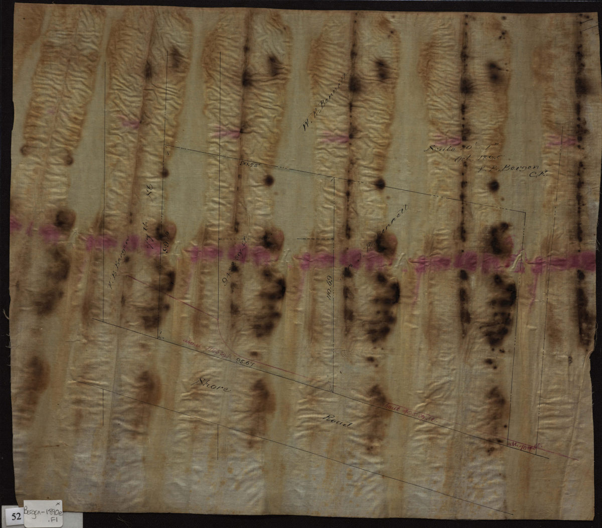
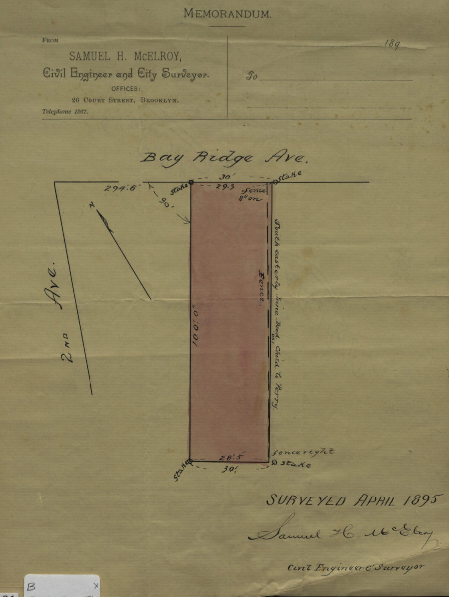
[Map of Bay Ridge Ave. at 2nd Ave.]: surveyed … [by] Samuel H. McElroy, civil engineer & surveyor
April 1895
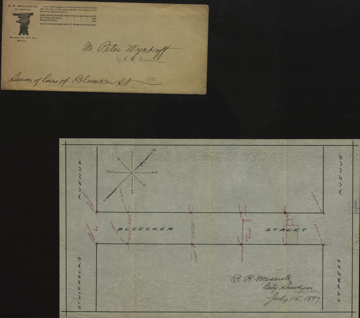
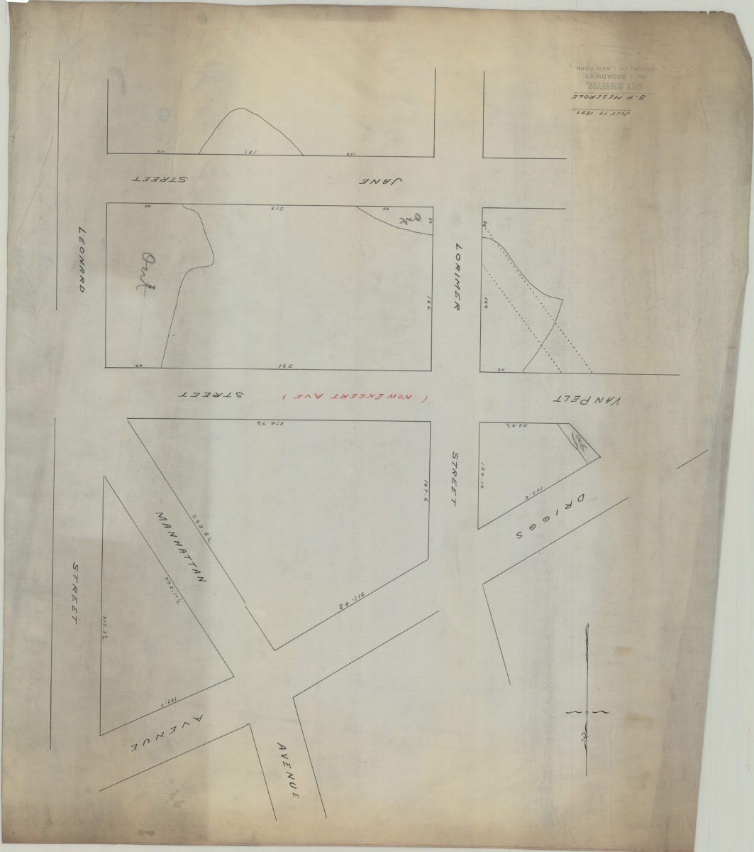
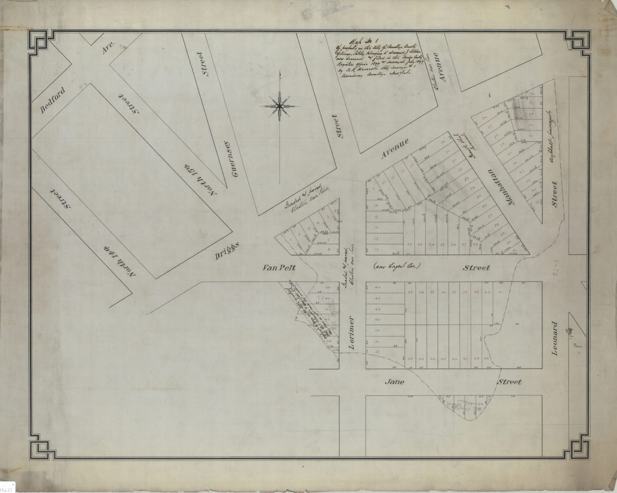
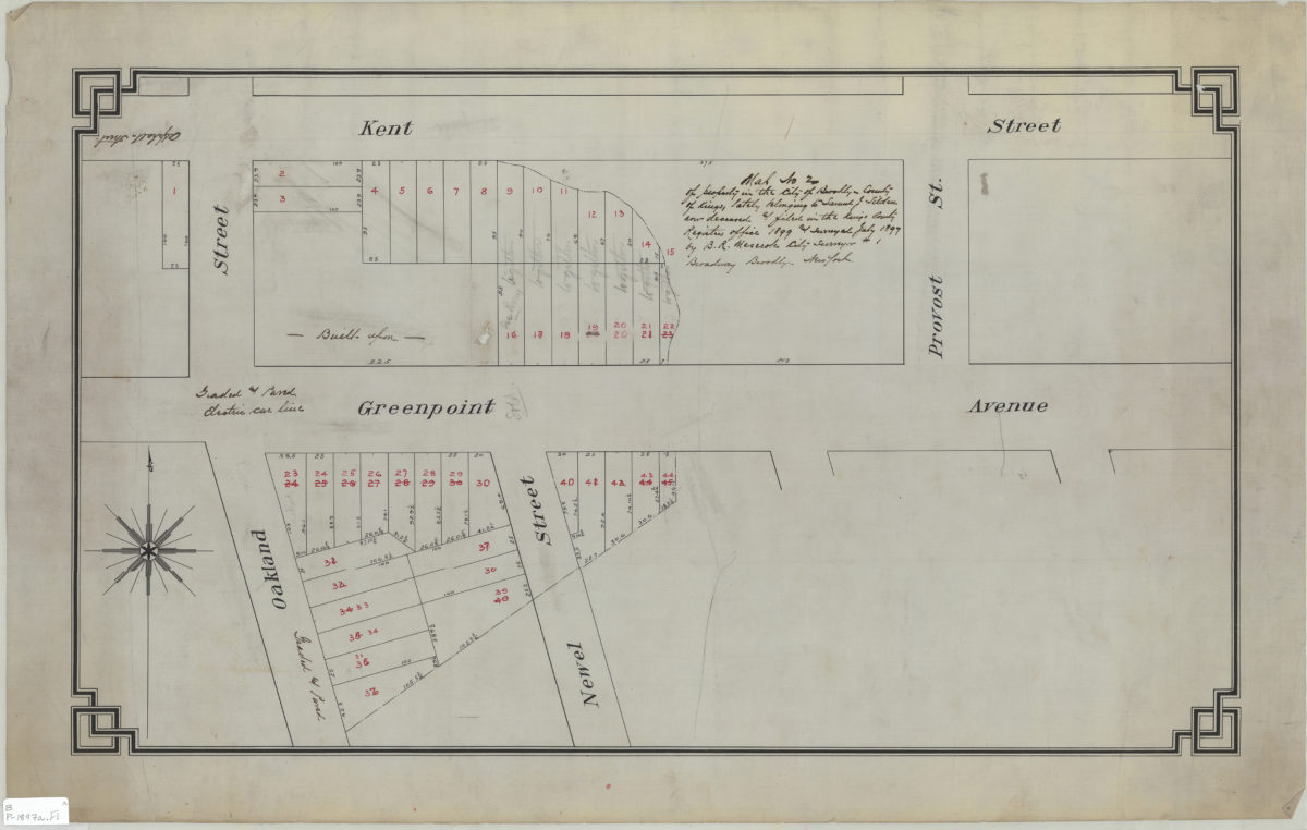
[Map of area bounded by Lorimer St., Jane St., Leonard St., and Driggs Ave.]: B.R. Meserole
July 17, 1897