[Map of area bounded by Joralemon St., Clinton St., Livingston St., and Sidney Pl.]: surveyed by Silas Ludlam, city surveyor
December 1837
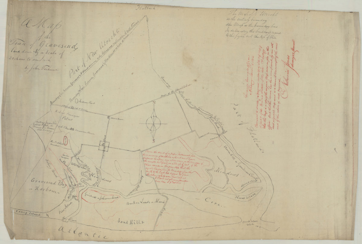
A map of the town of Gravesend: by John Terhune
March 14, 1842

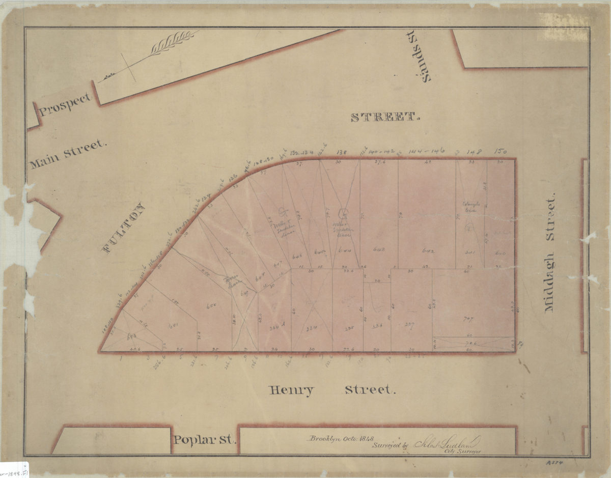
[Map of area bounded by Fulton St., Henry St., and Middagh St.]: surveyed by Silas Ludlam, city surveyor
October 1848
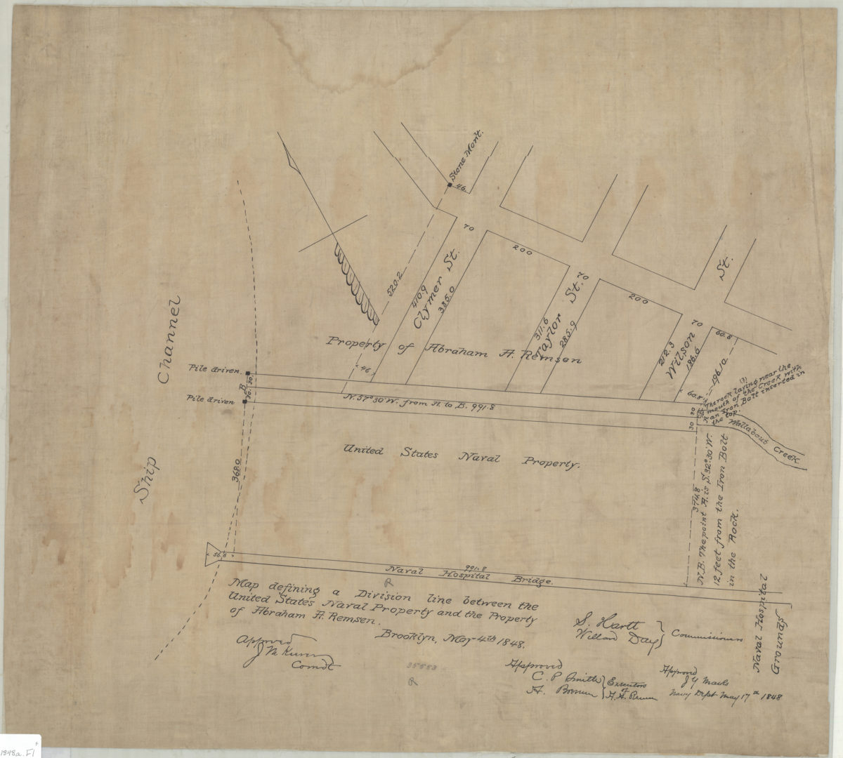
Map defining a division line between the United States Naval Property and the property of Abraham A. Remsen
May 4, 1848