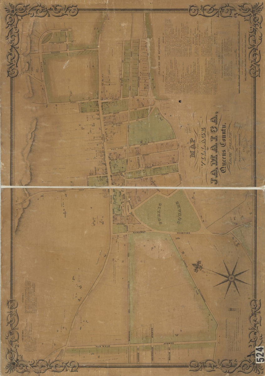
Map of the village of Jamaica, Queens County, Long Island: surveyed and drawn by Martin G. Johnson
1842
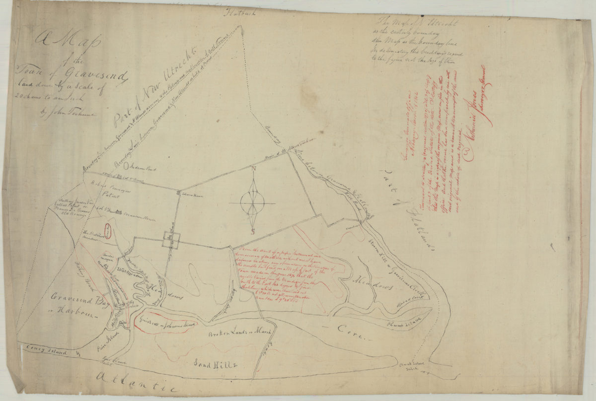
A map of the town of Gravesend: by John Terhune
March 14, 1842
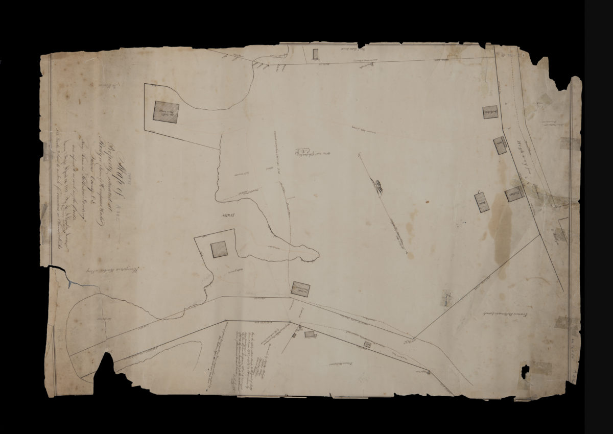
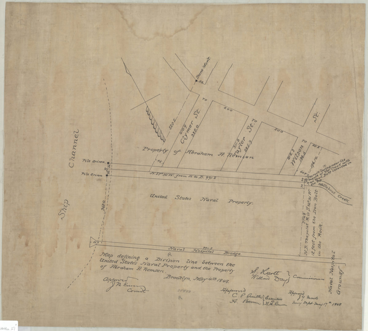
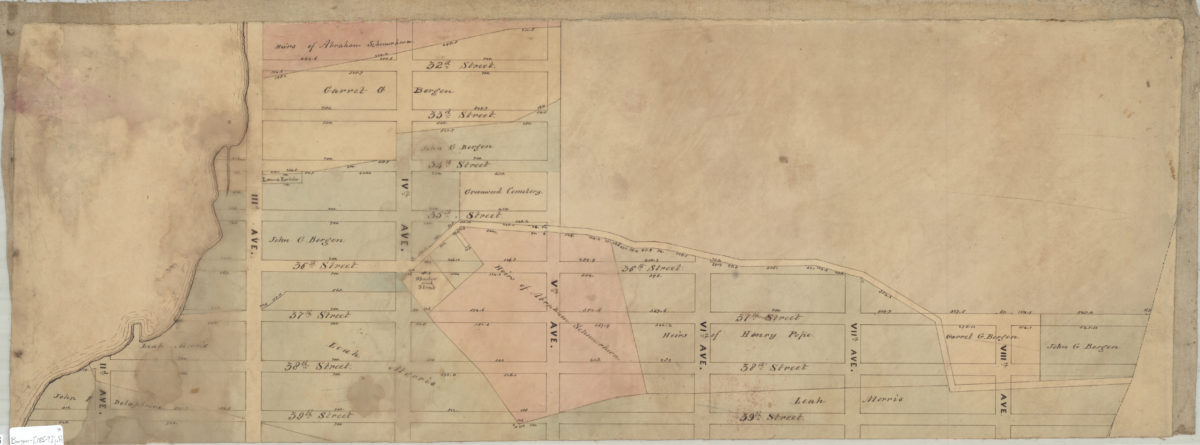
Map defining a division line between the United States Naval Property and the property of Abraham A. Remsen
May 4, 1848

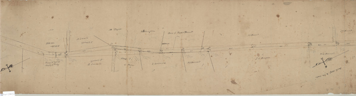
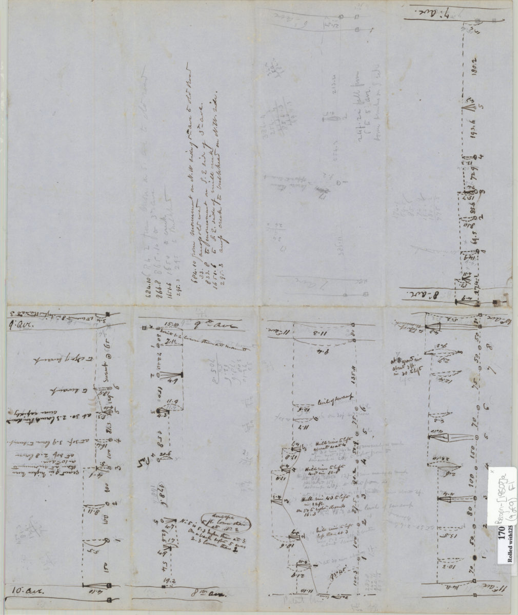
[Brooklyn & Coney Island Plank Road surveys]
[ca. 1850]