
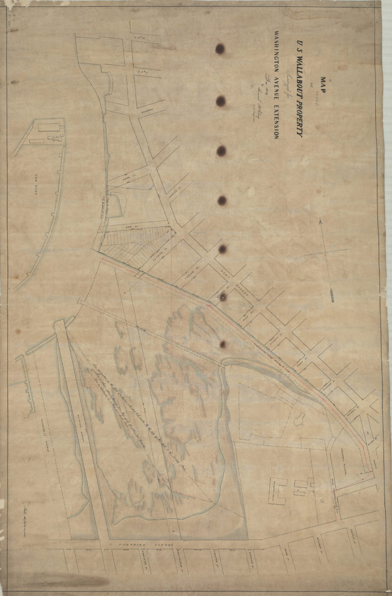
Map of U.S. Wallabout property: surveyed for Washington Avenue extension, Dec. 1859: by Samuel McElroy, civil engineer
December 1859
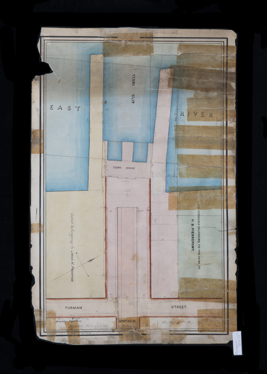
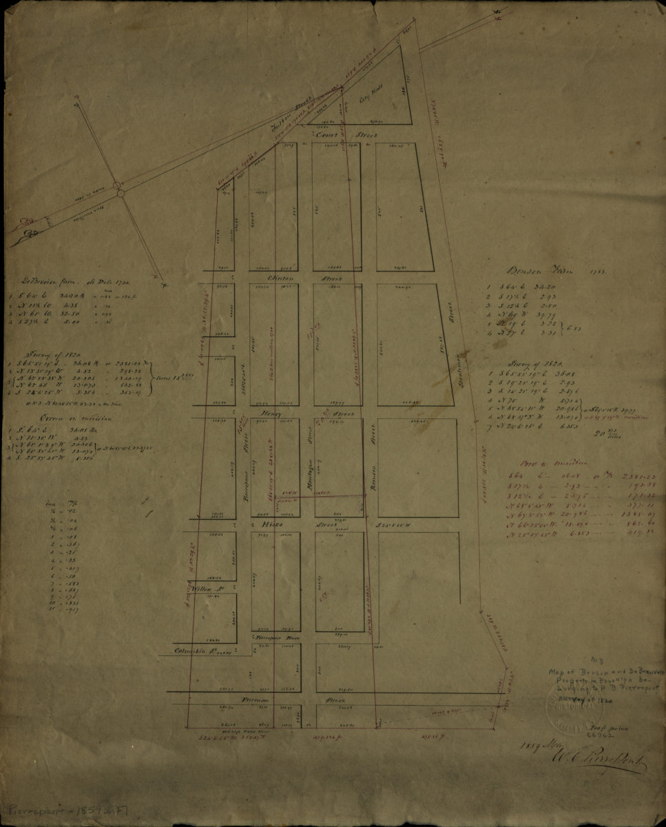
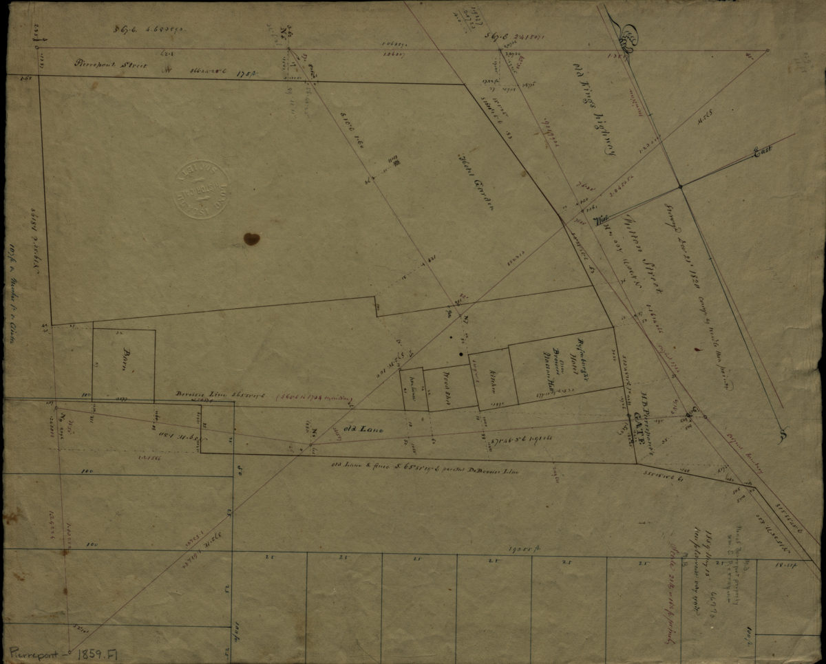
[Map of area bounded by Joralemon St., Fulton St., Pierrepont St., and Furman St.]: W.C. Pierrepont
May 1859
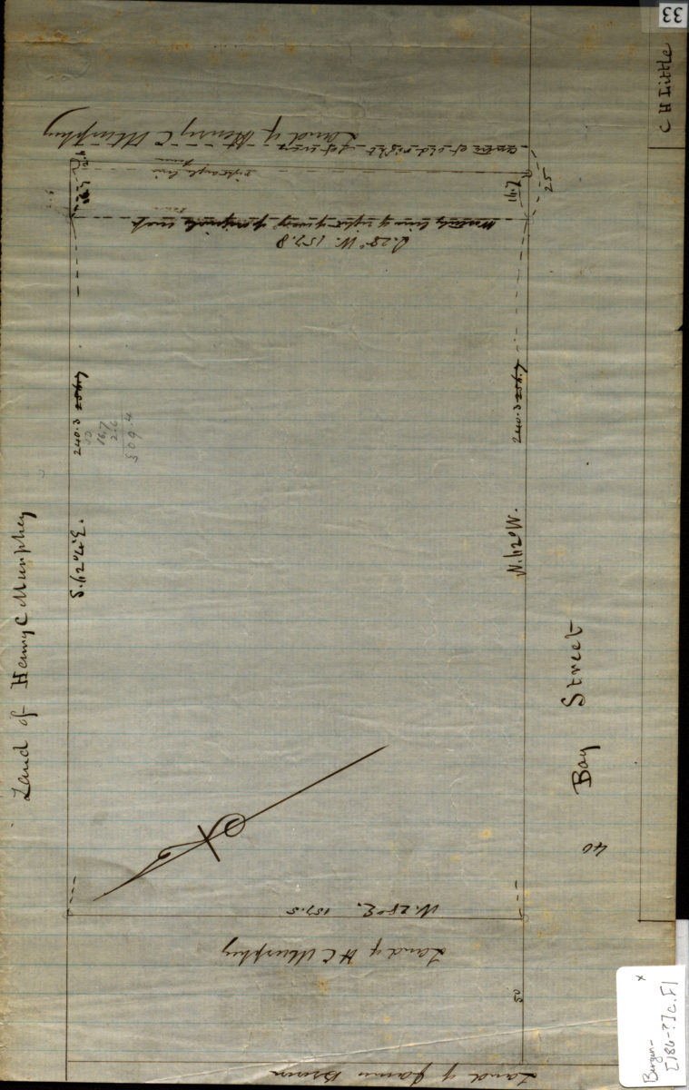
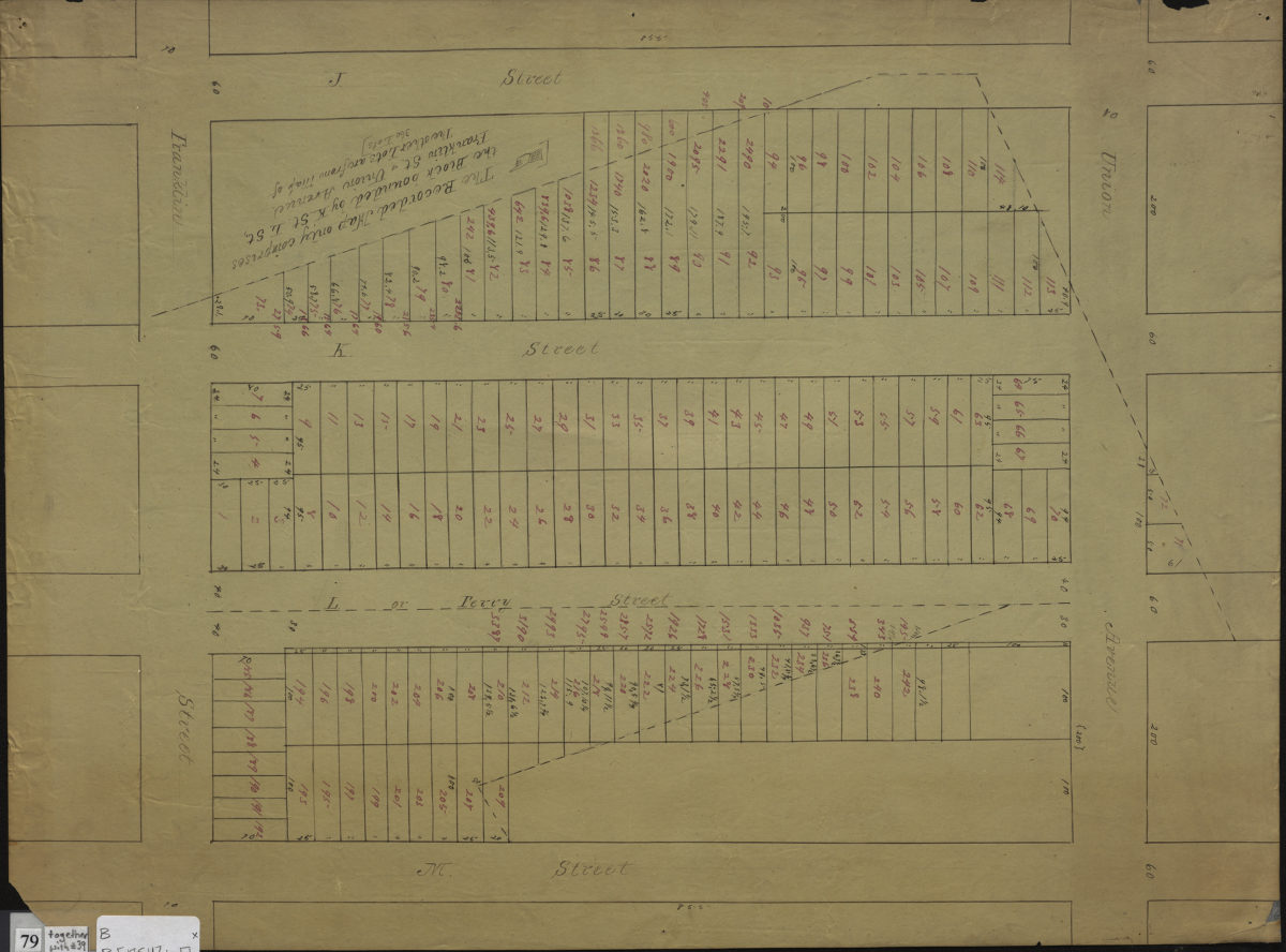
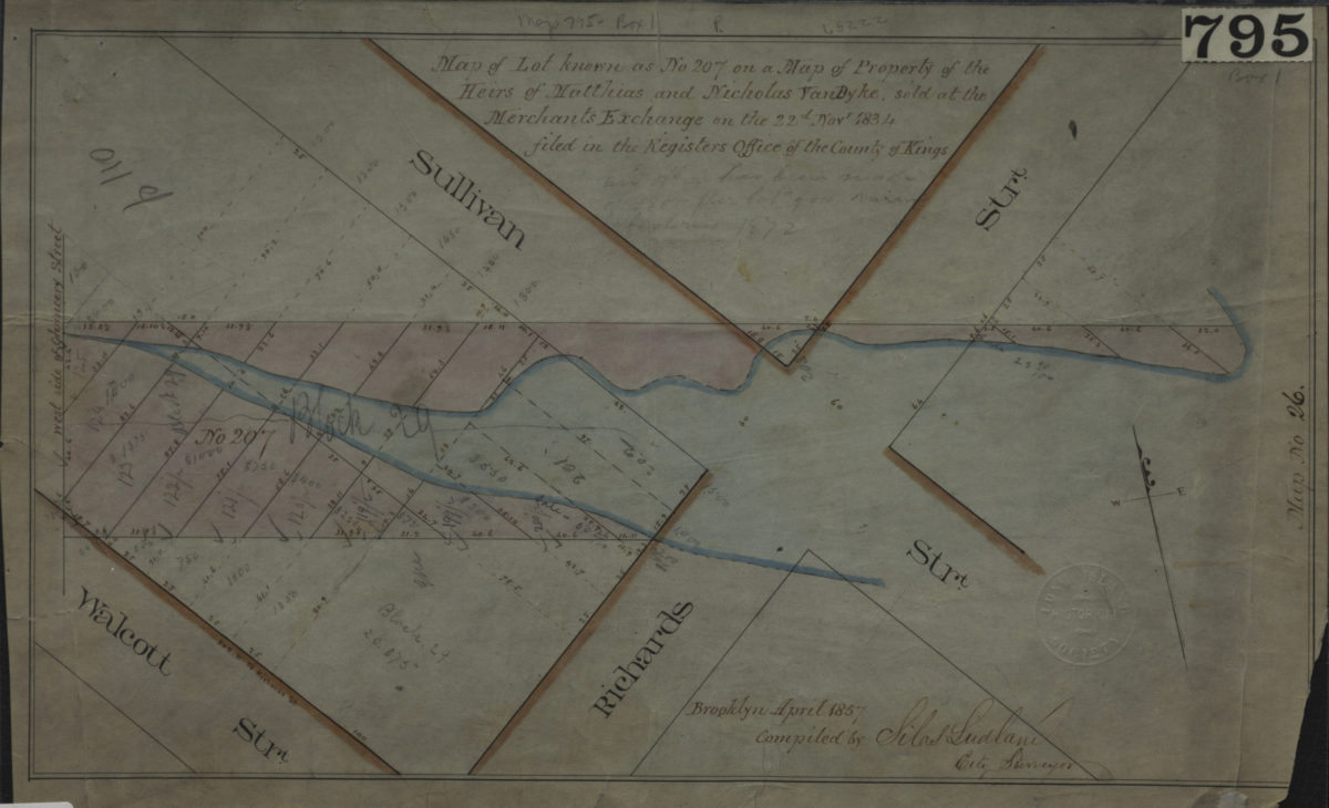
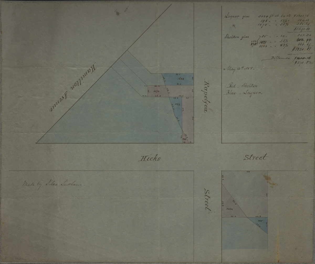
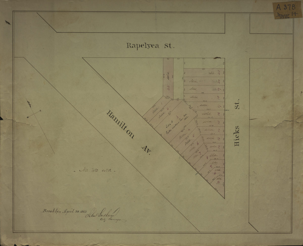
[Map of area bounded by Rapelyea St., Hamilton Ave., and Hicks St.]: Silas Ludlam, city surveyor
April 29, 1863
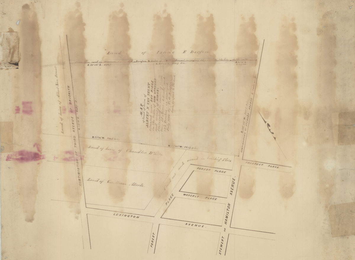
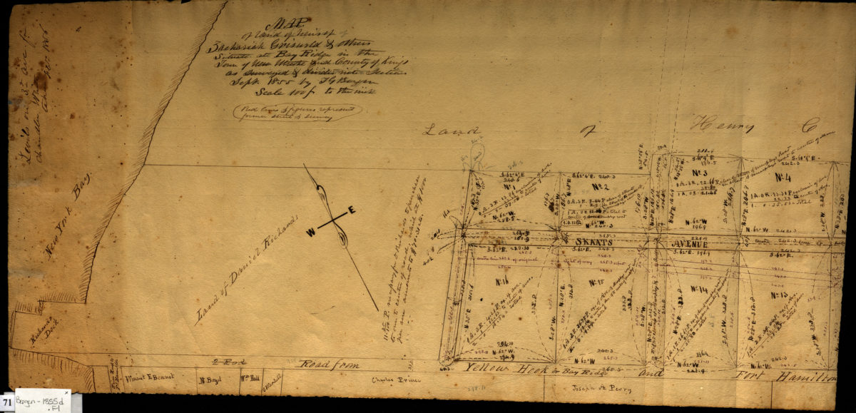
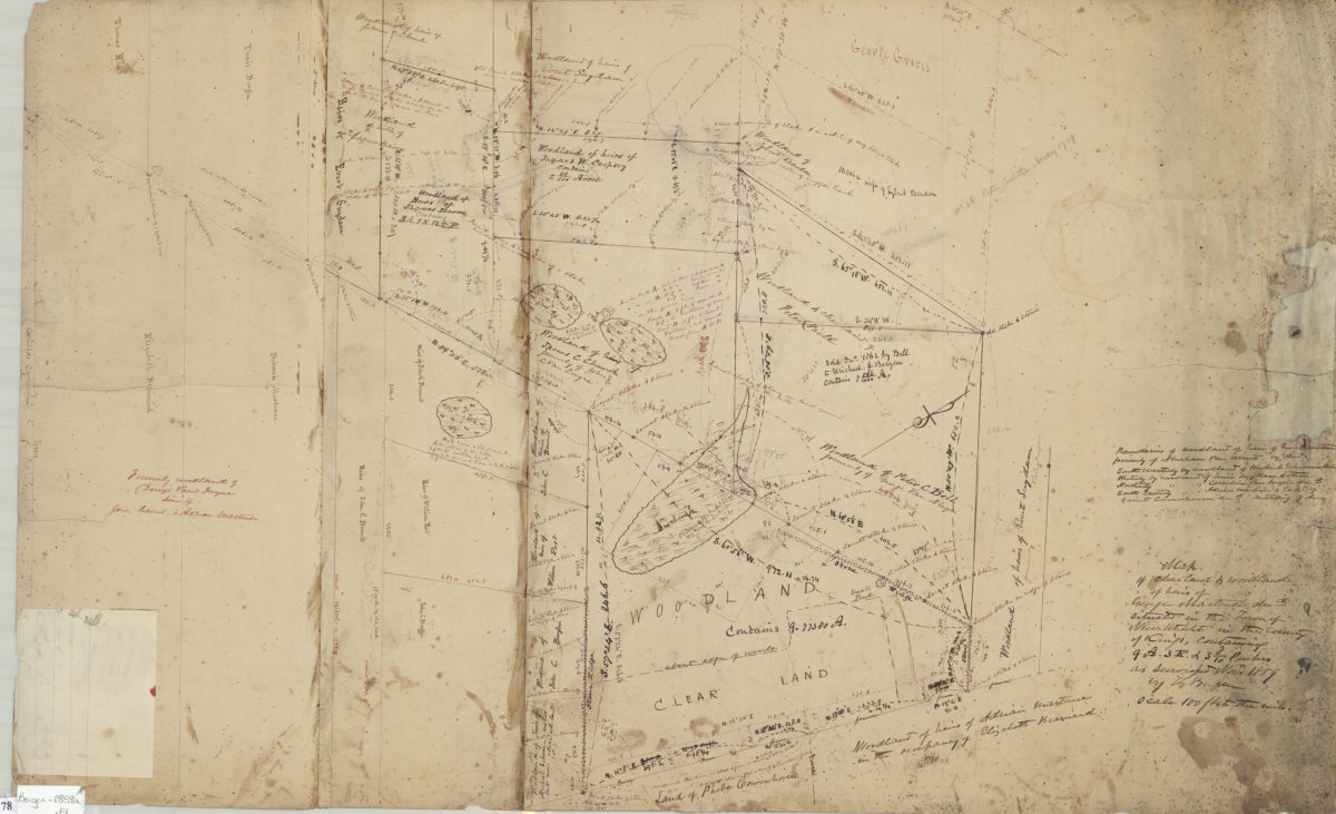
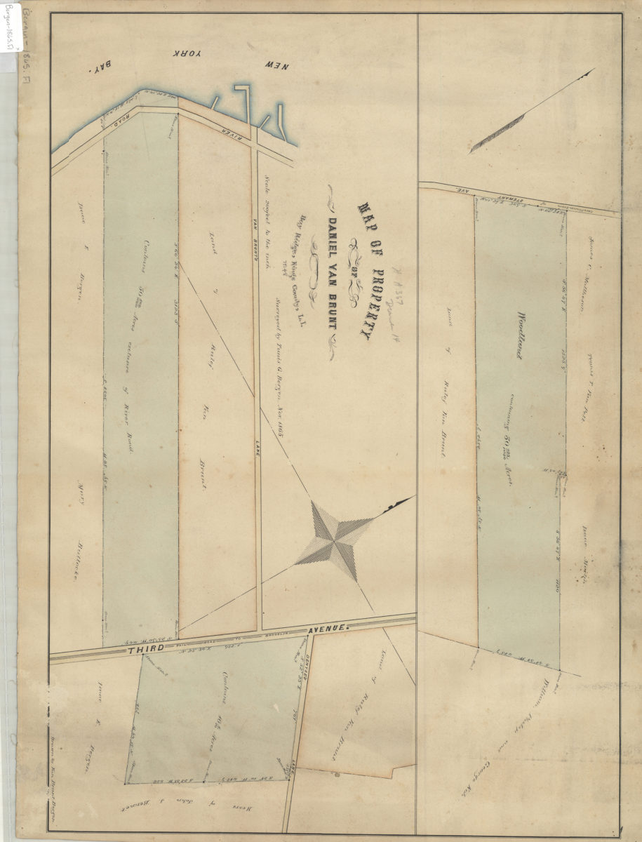
Map of property of Daniel Van Brunt: Bay Ridge, Kings County, L.I.: surveyed by Tunis G. Bergen ; drawn by Van Brunt Bergen
November 1865
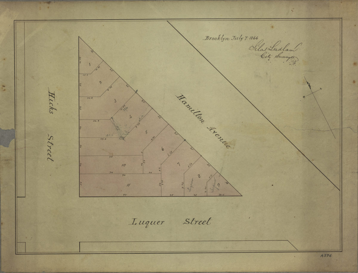
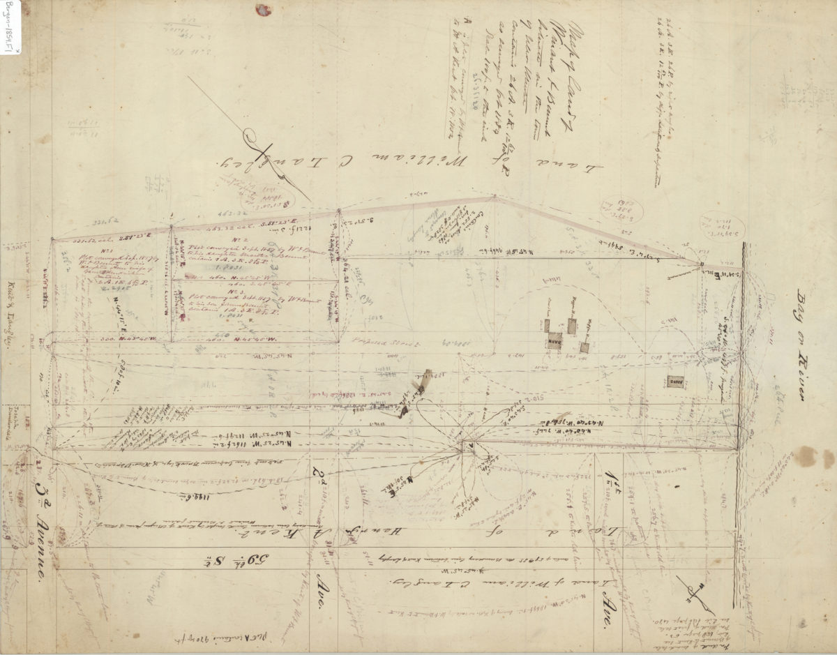
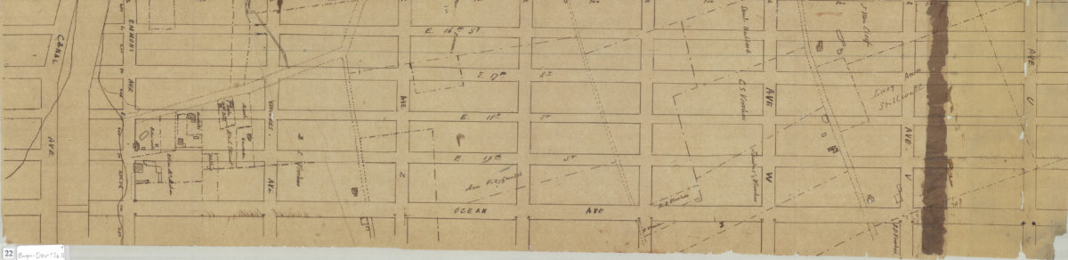
[Map of area bounded by Hicks St., Luquer St., and Hamilton Ave.]: surveyed by Silas Ludlam, city surveyor
July 7, 1866