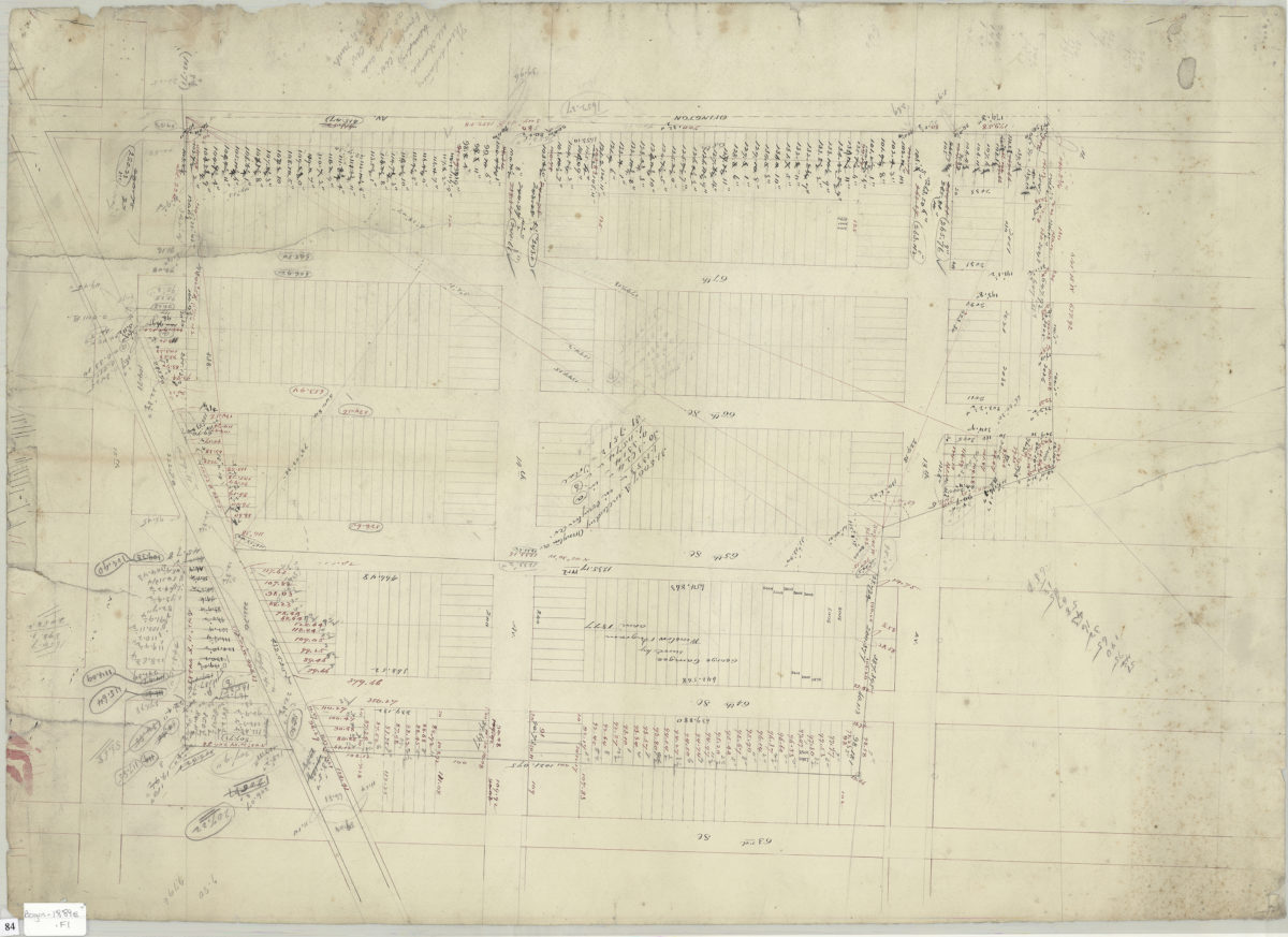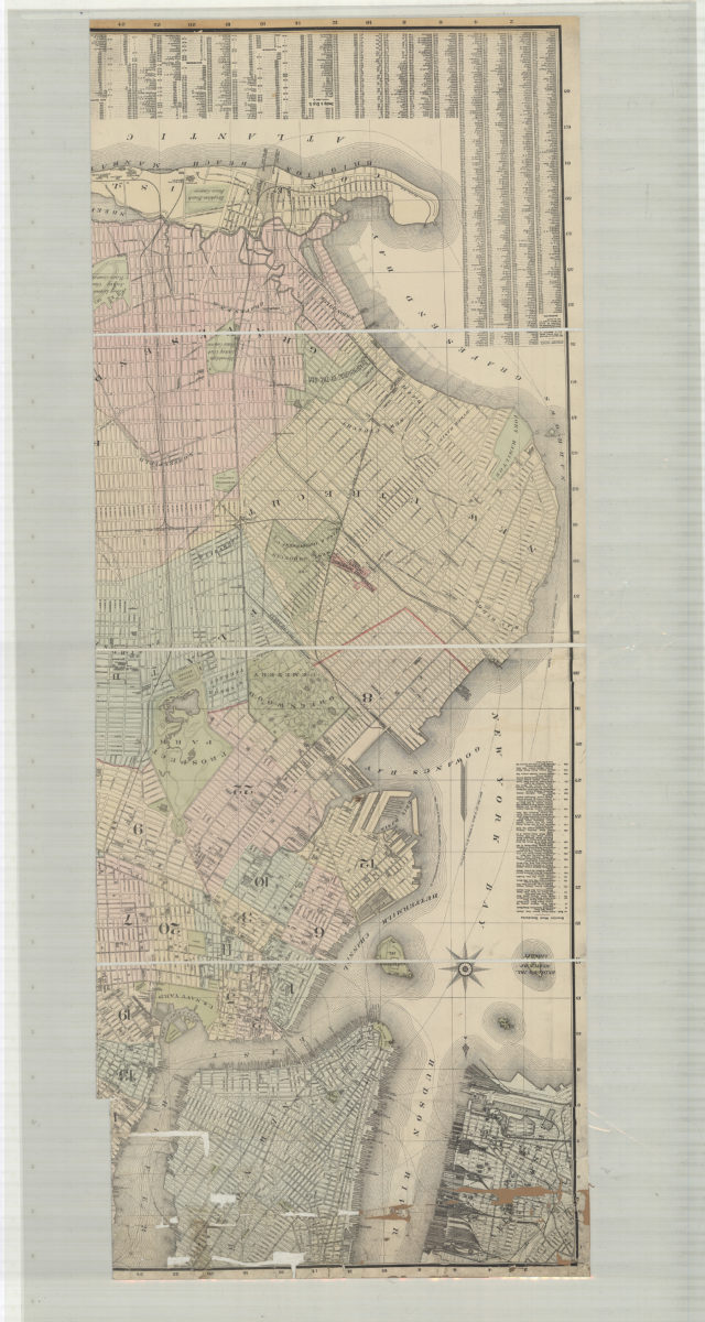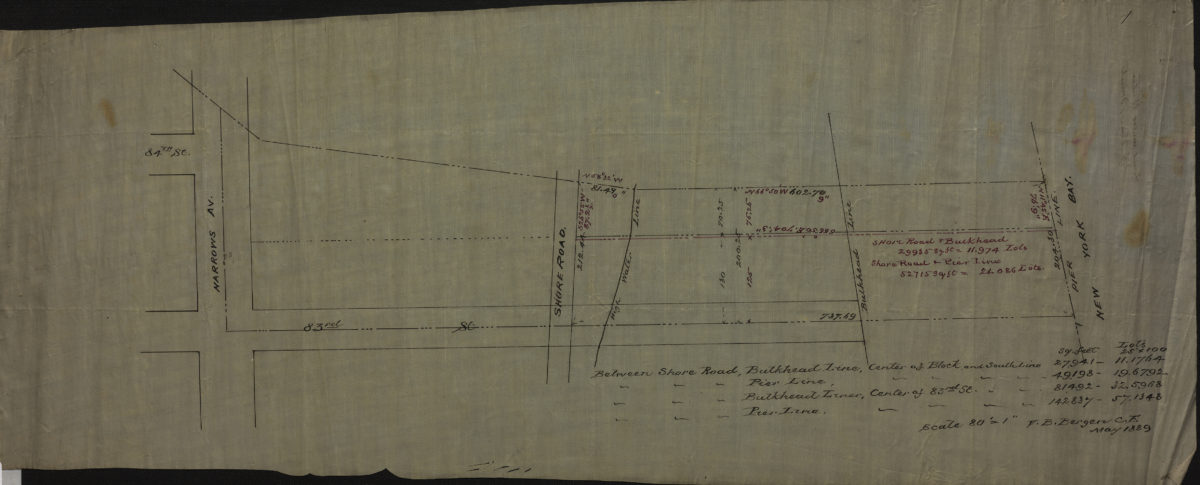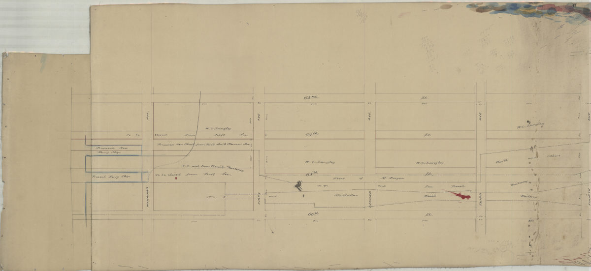
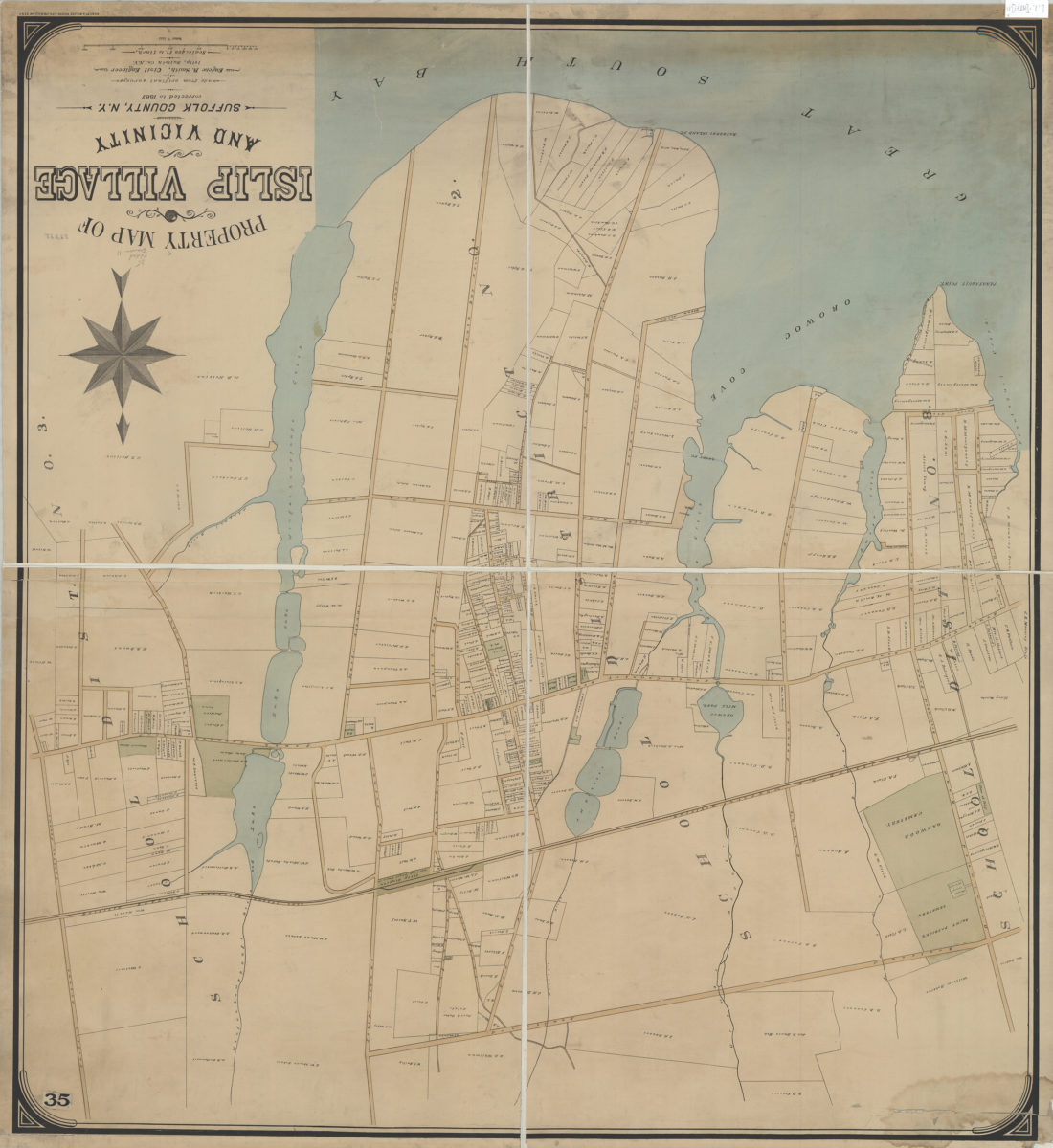
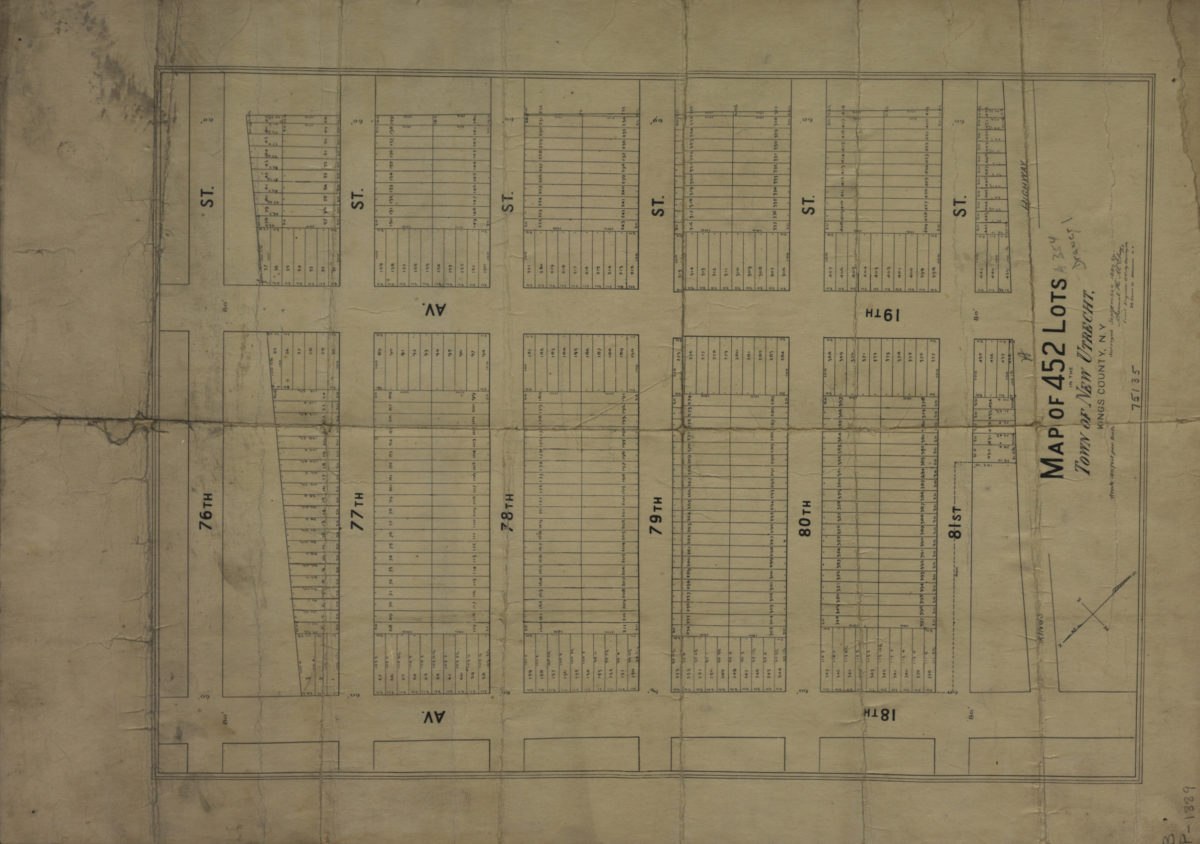
[Map of area north from Senator St. to Latting Pl. and east from New York Bay to 2nd Ave.]: V.B. Bergen, C.E.
July 30, 1888
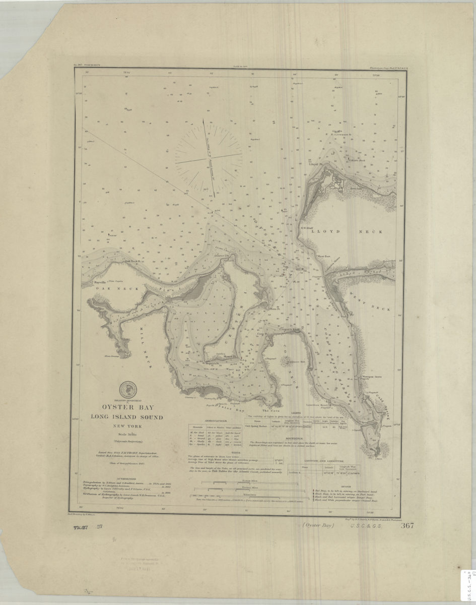
Oyster Bay, Long Island Sound, New York: U.S. Coast and Geodetic Survey ; red. drawing by E. Molkow
1889
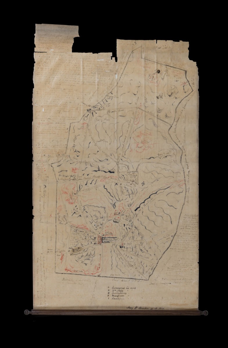
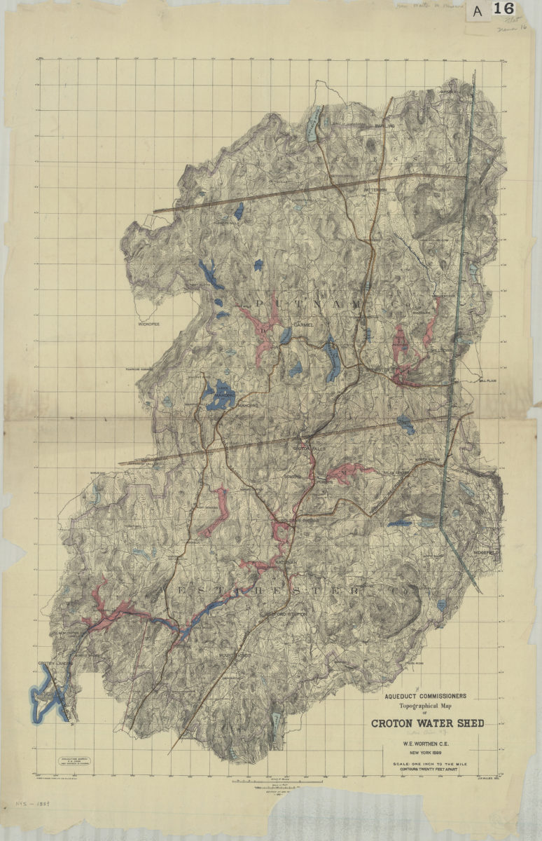
Aqueduct Commissioners topographical map of Croton Water Shed: W.E. Worthen C.E. ; J.A. Valles, del
1889
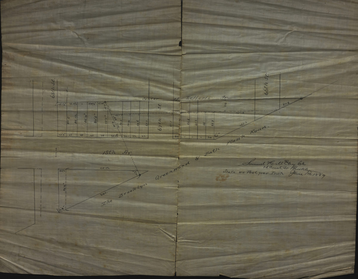
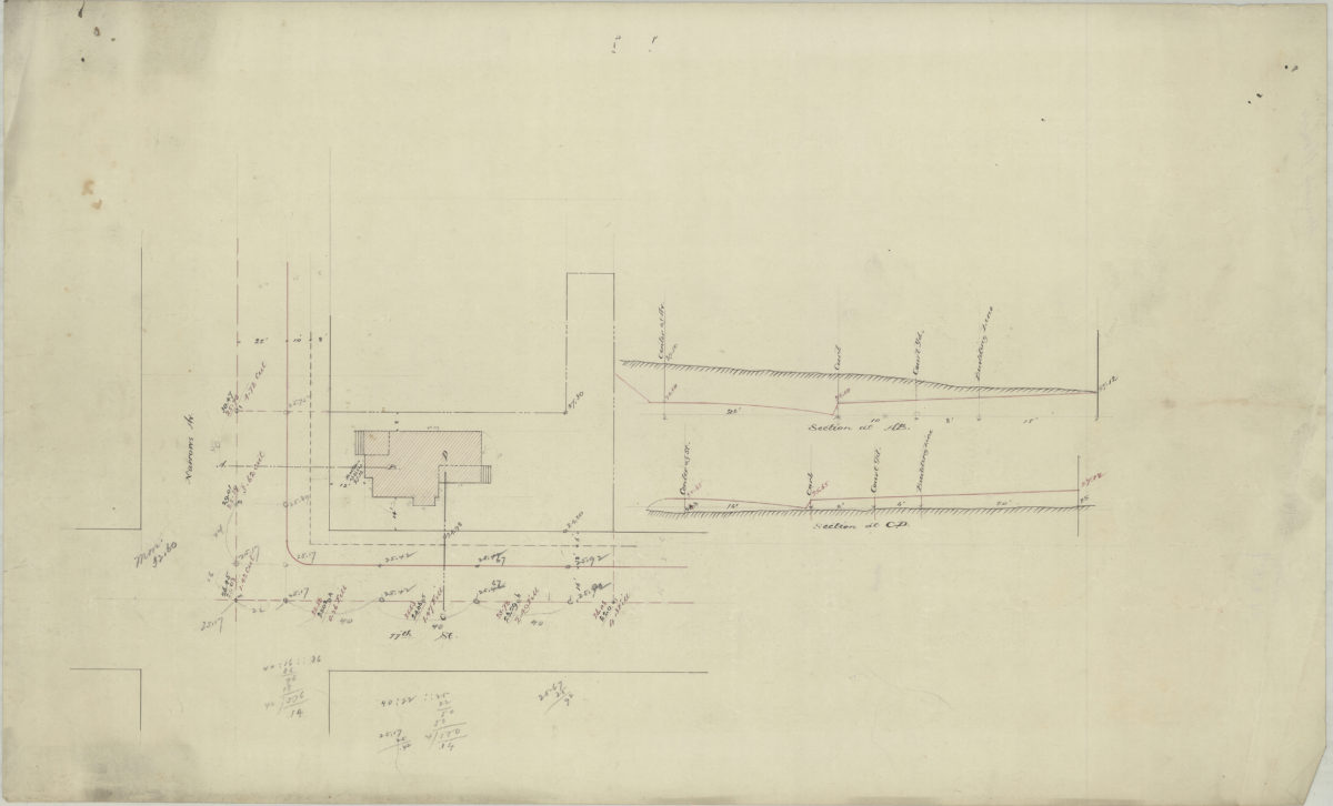
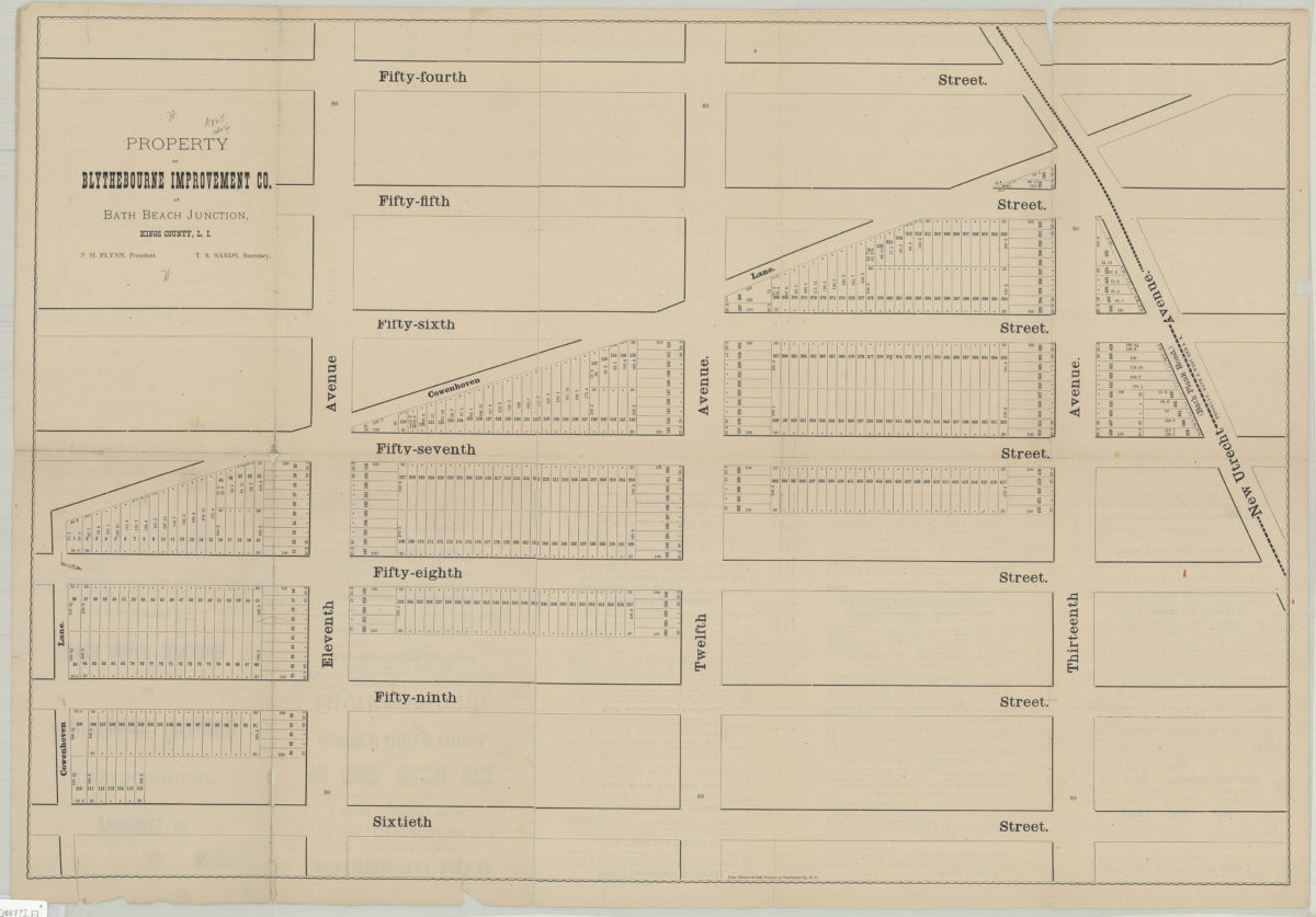
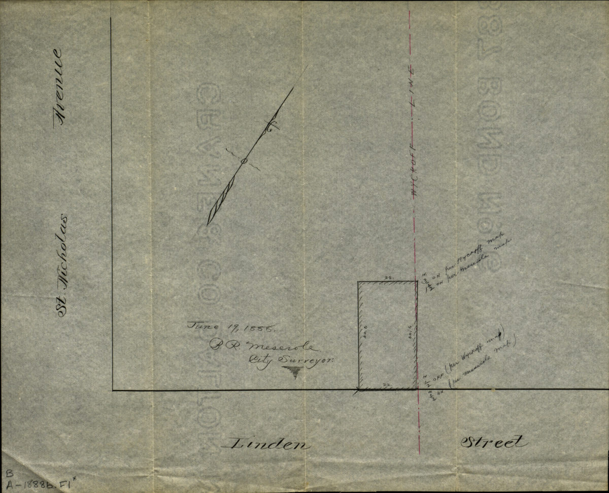
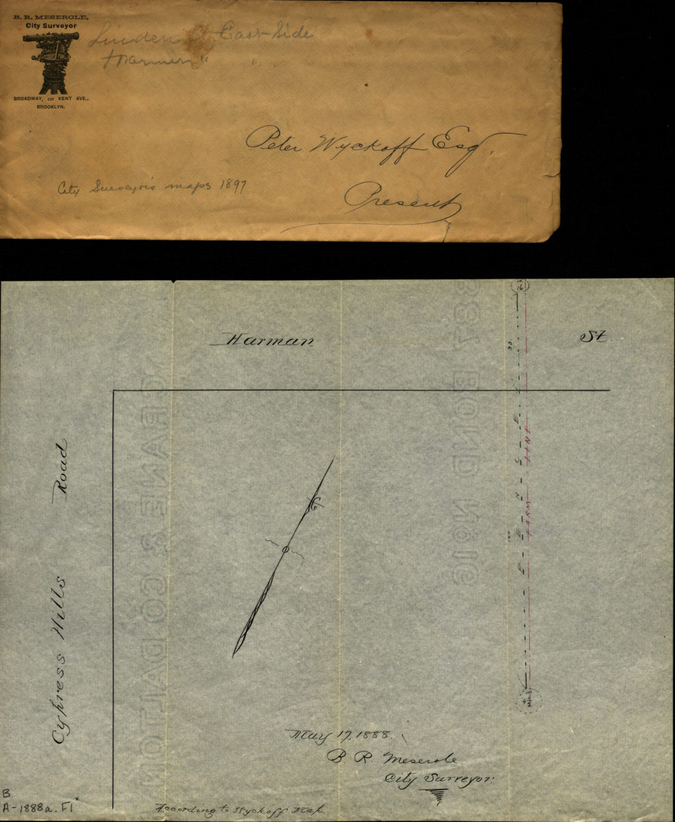
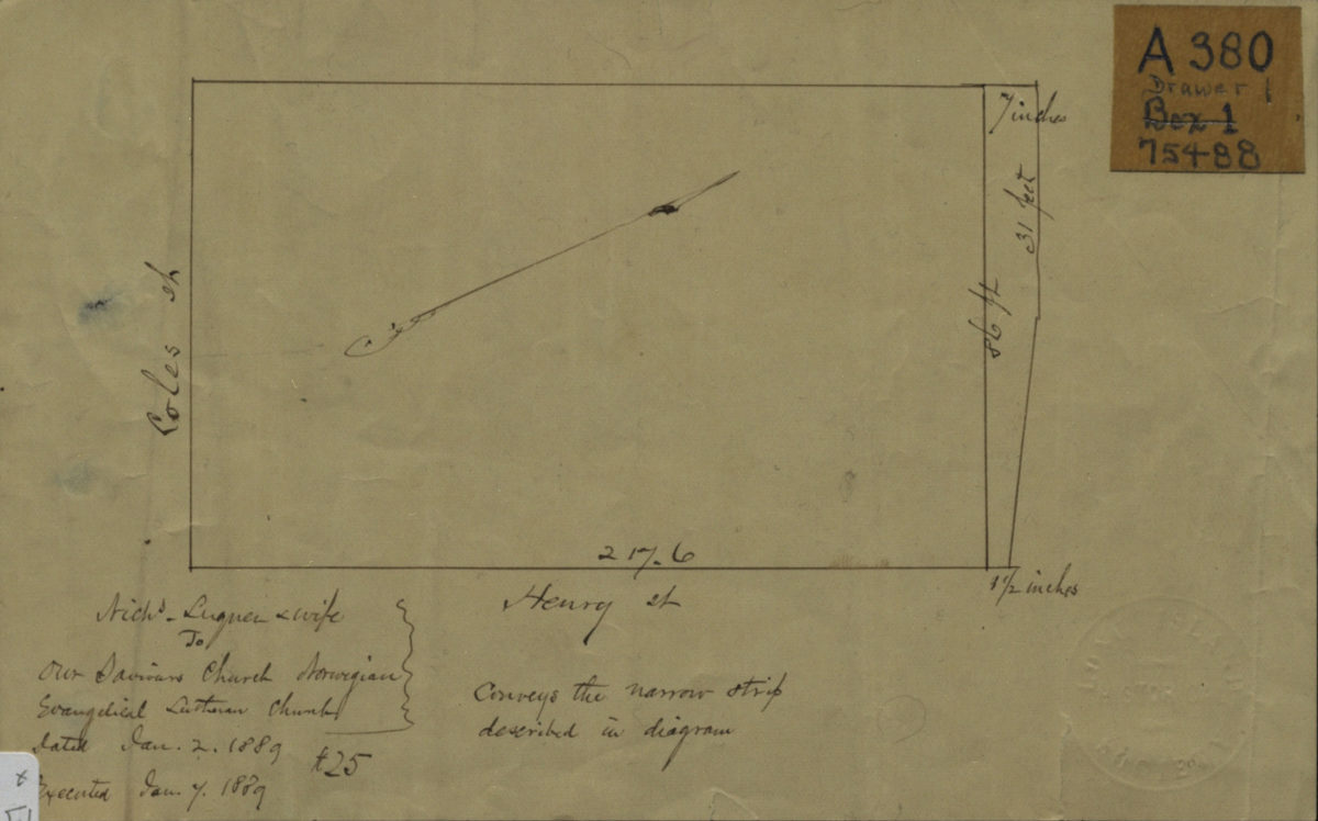
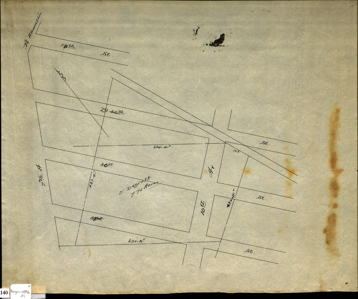
[Diagram of Luquer property at Coles St. and Henry St.].
January 2, 1889
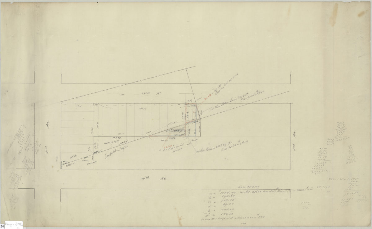
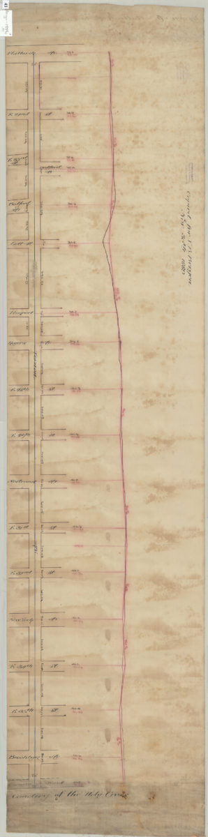
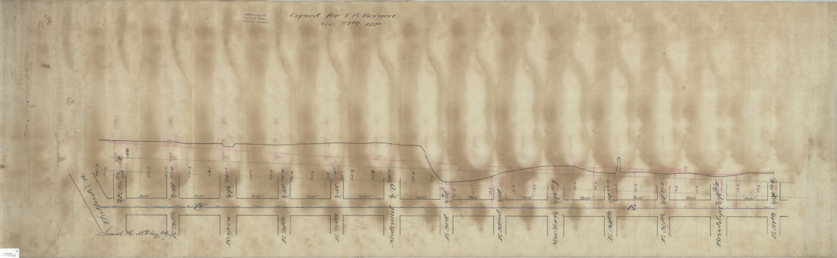
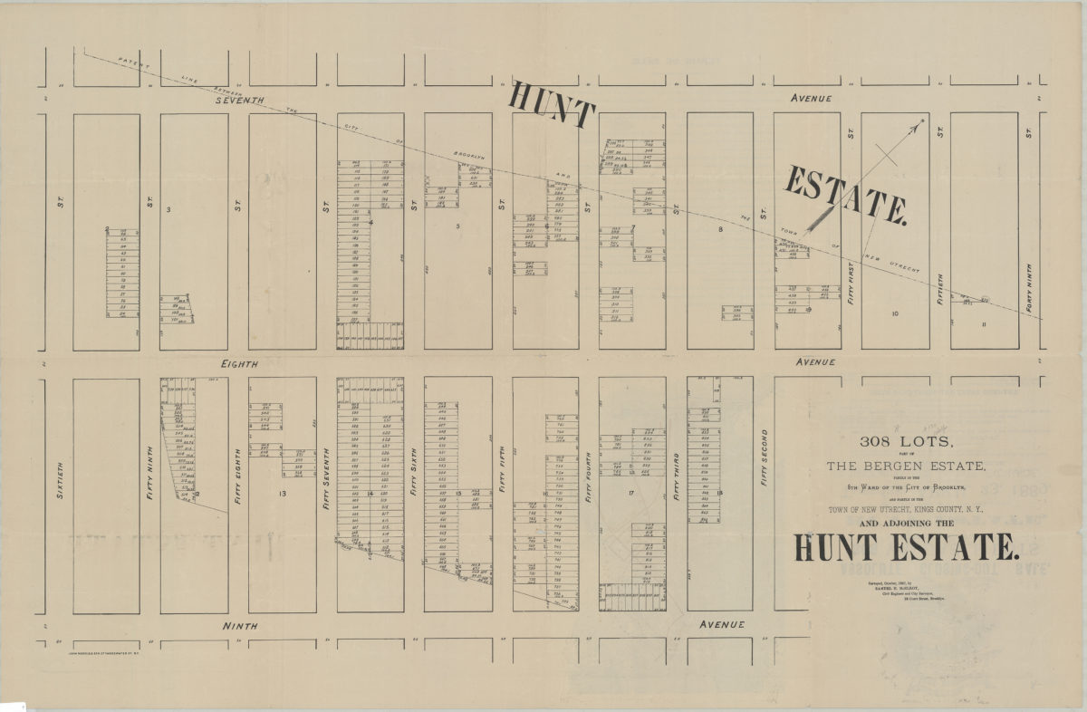
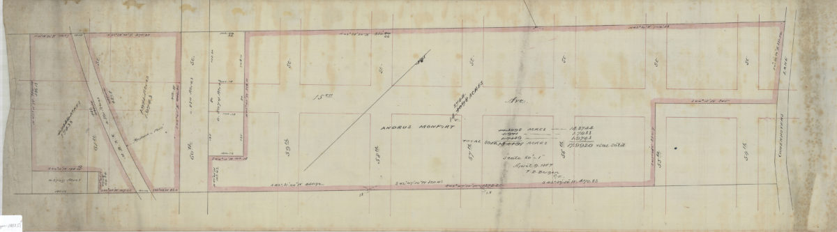
[Plan and profile of Avenue E from Flatbush Avenue to East 37th Street]: Samuel H. McElroy, C.E.
1889