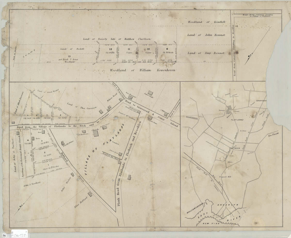
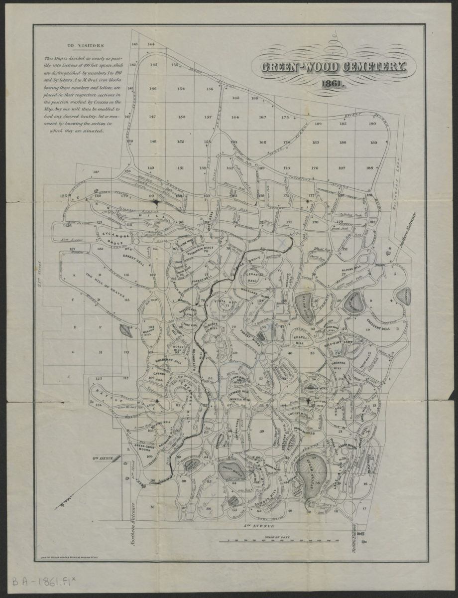
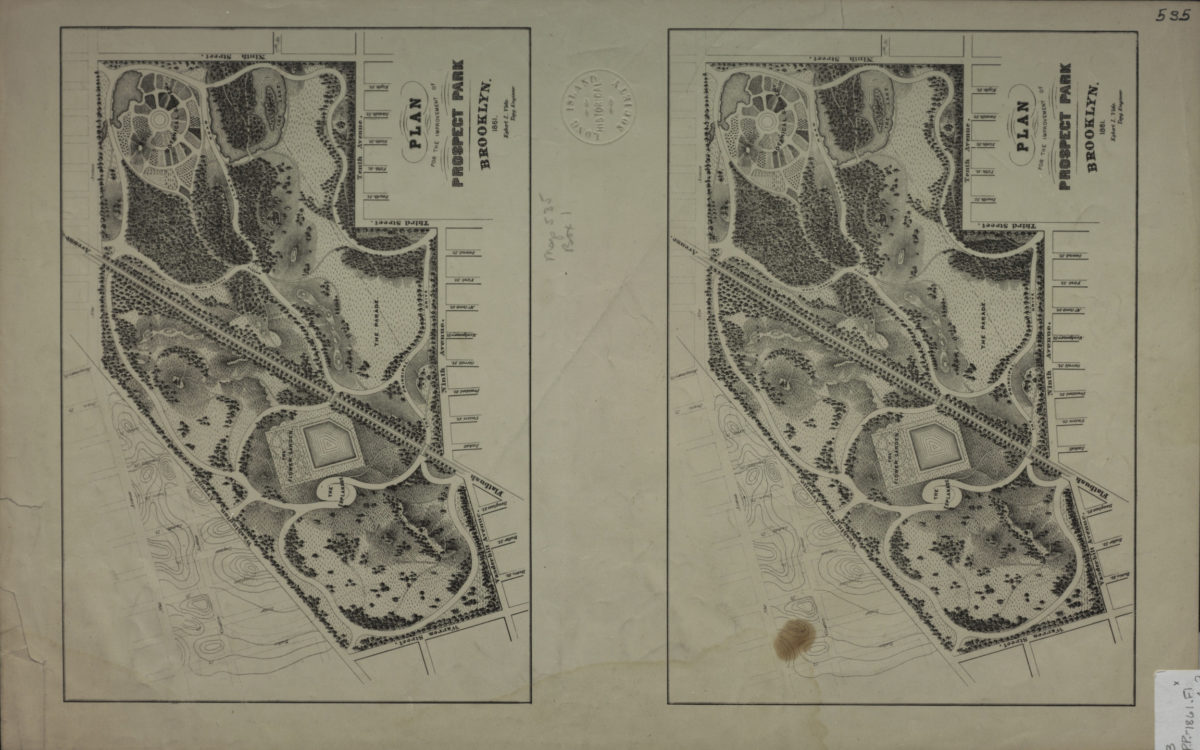
University Park, Brooklyn, N.Y.: general improvement plan: J. Weidenmann, landscape architect
[186?]
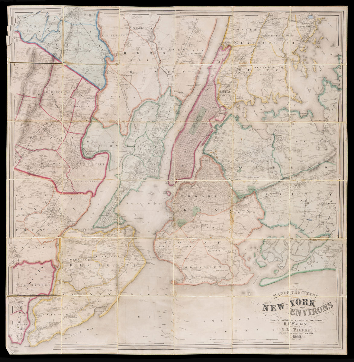
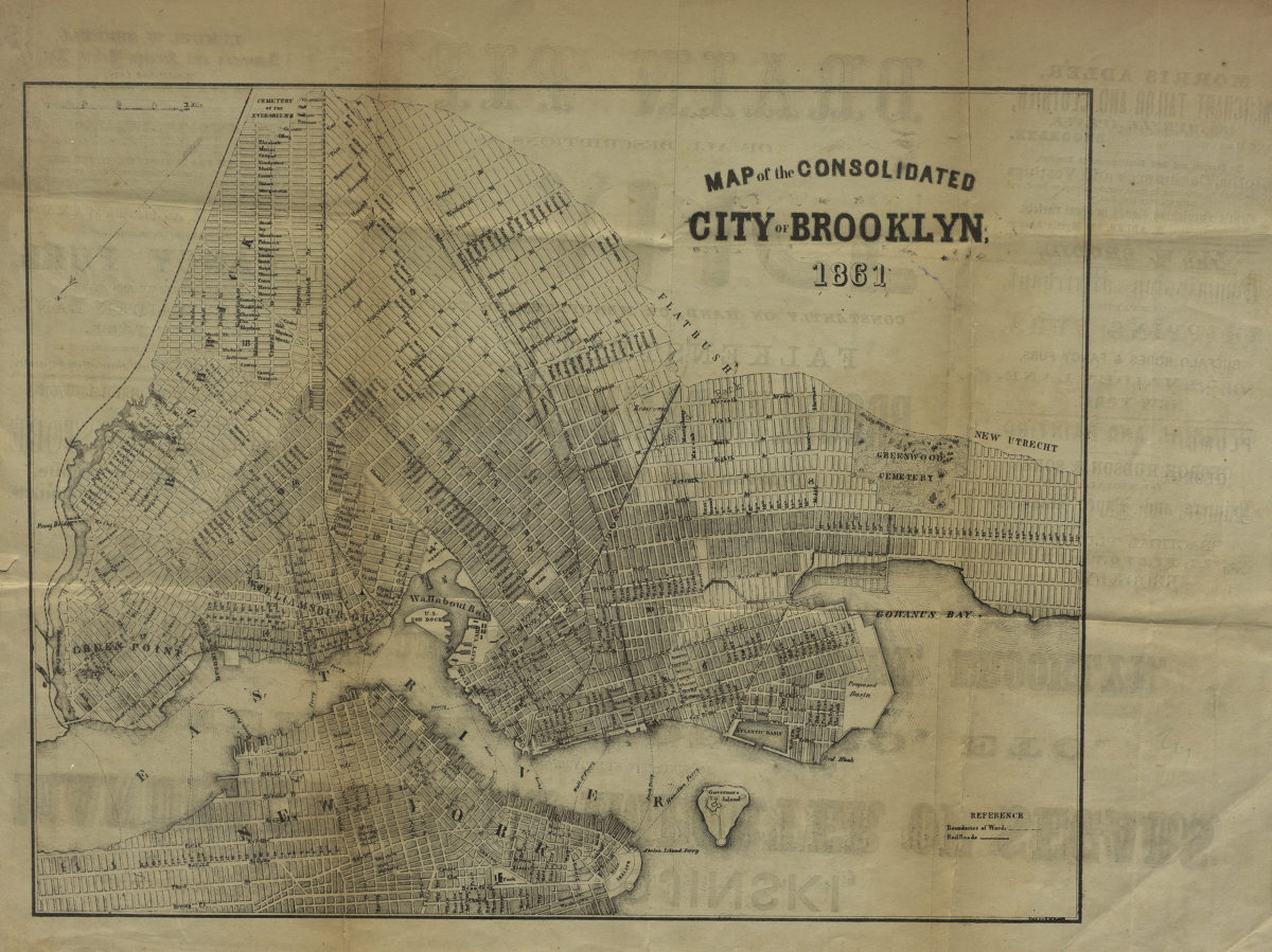
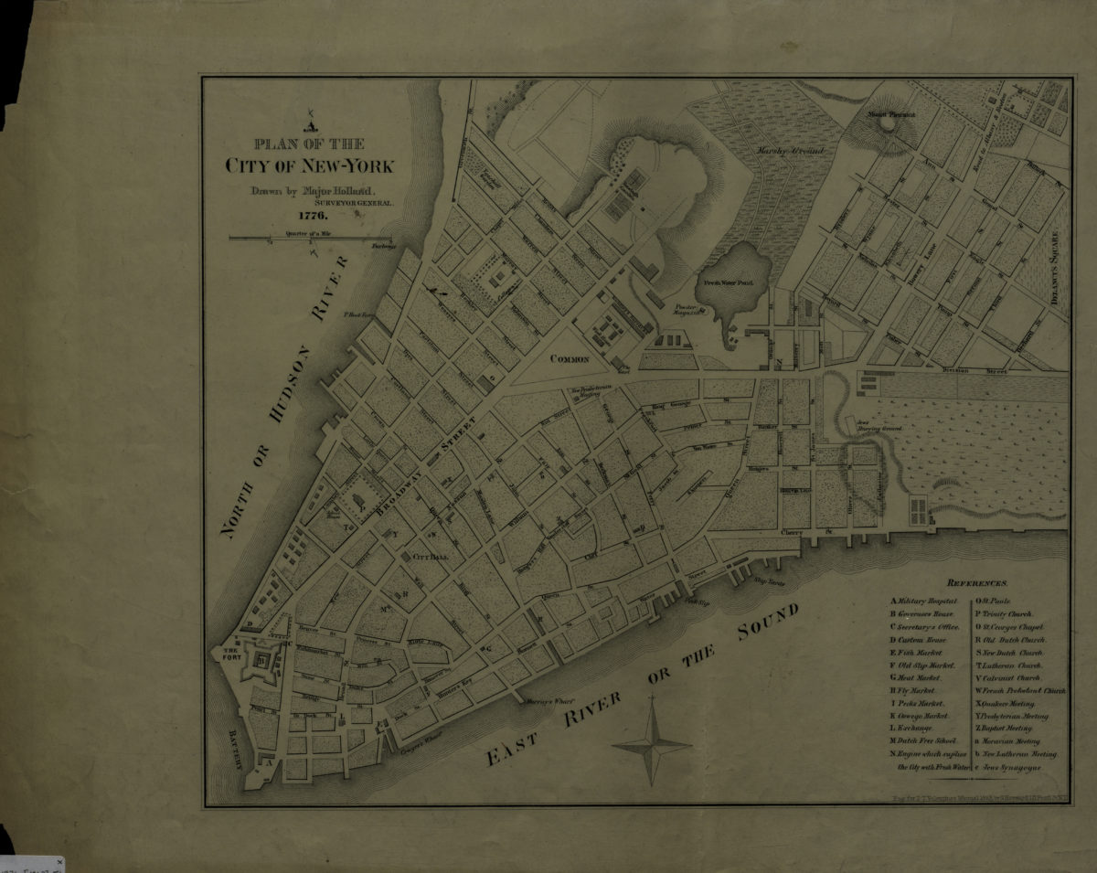
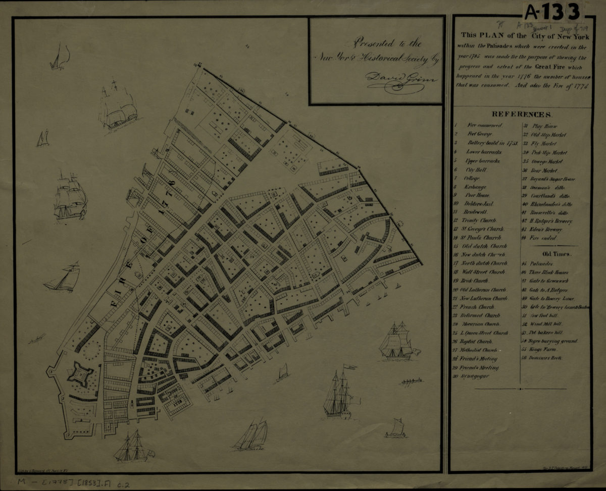
Map of the city & county of New York: engraved for D.T. Valentine’s Manual for 1860 by Geo. Hayward
1860
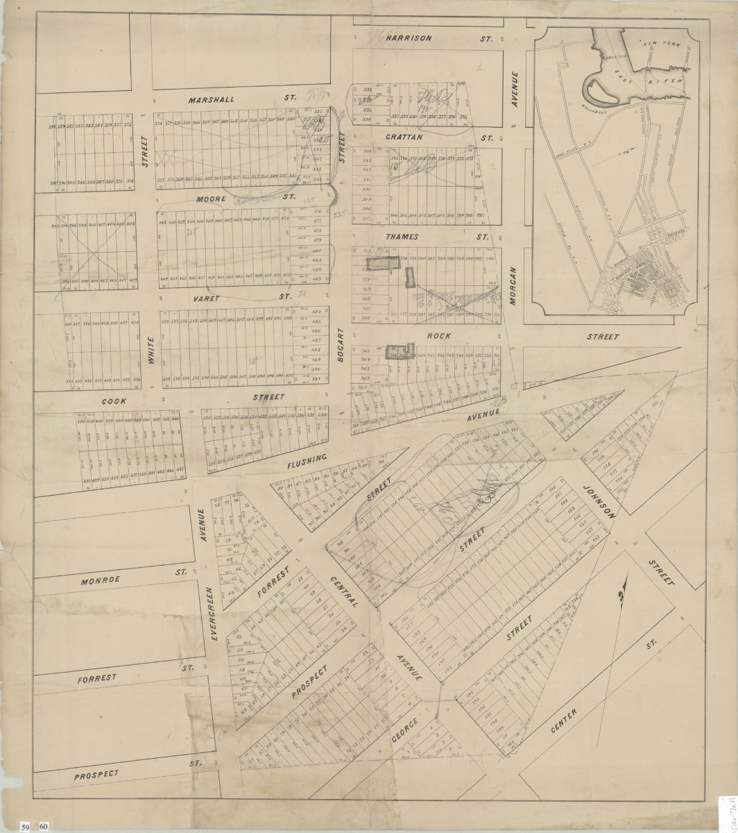
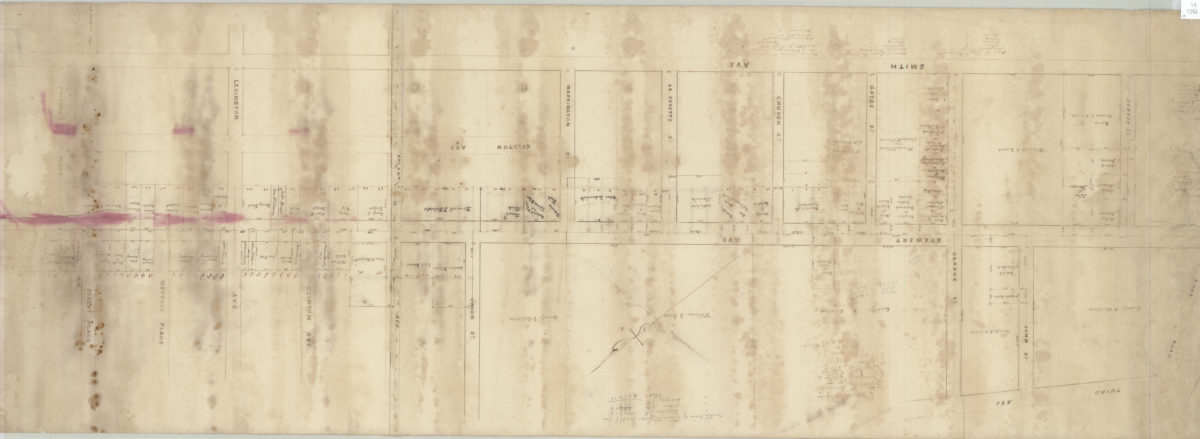
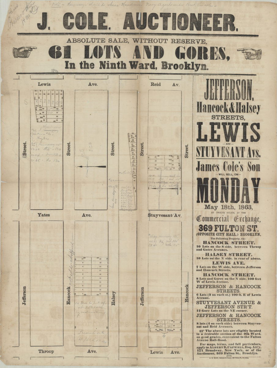
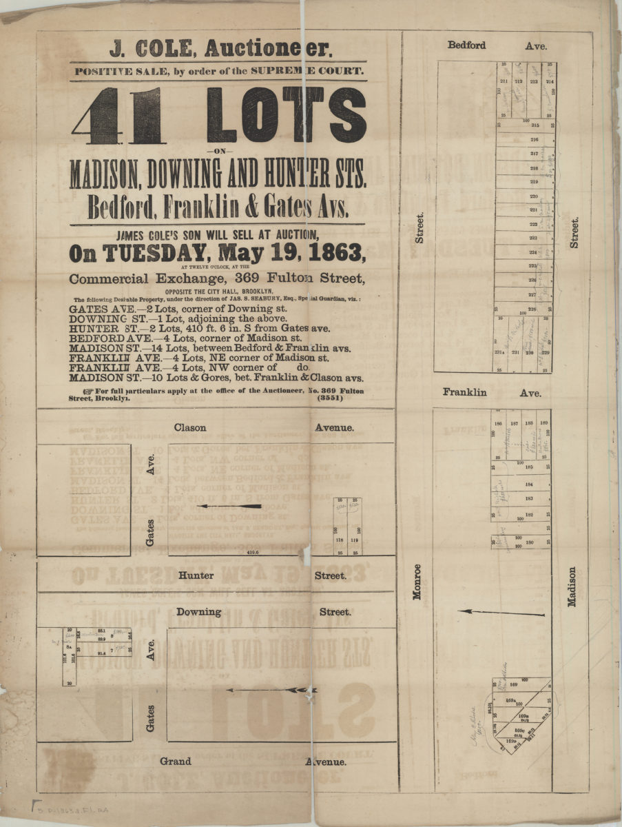
[Map covering area north from Prospect St. to Harrison St. and east from White St. to Morgan Ave.].
[186?]
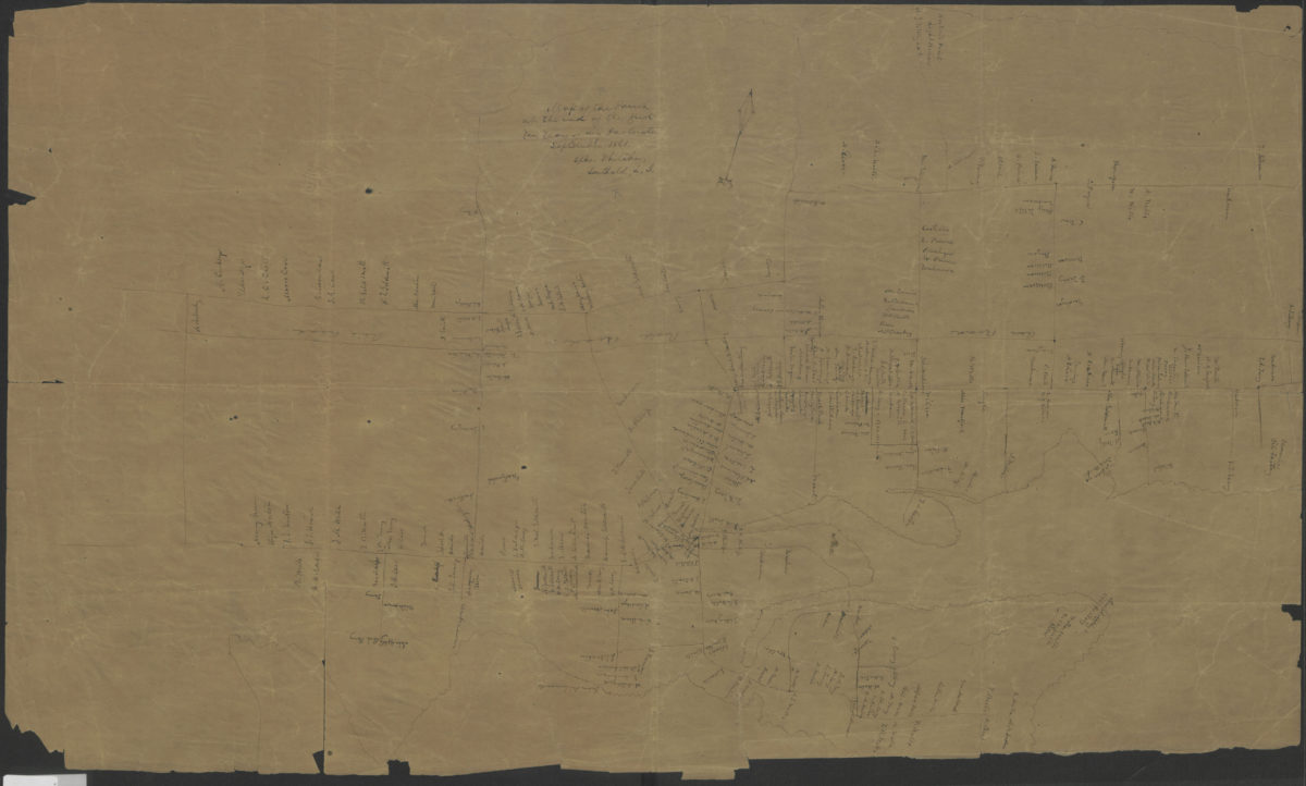
Map of the parish at the end of the first ten years of my pastorate: Epher Whitaker, Southold, L.I.
September 1861
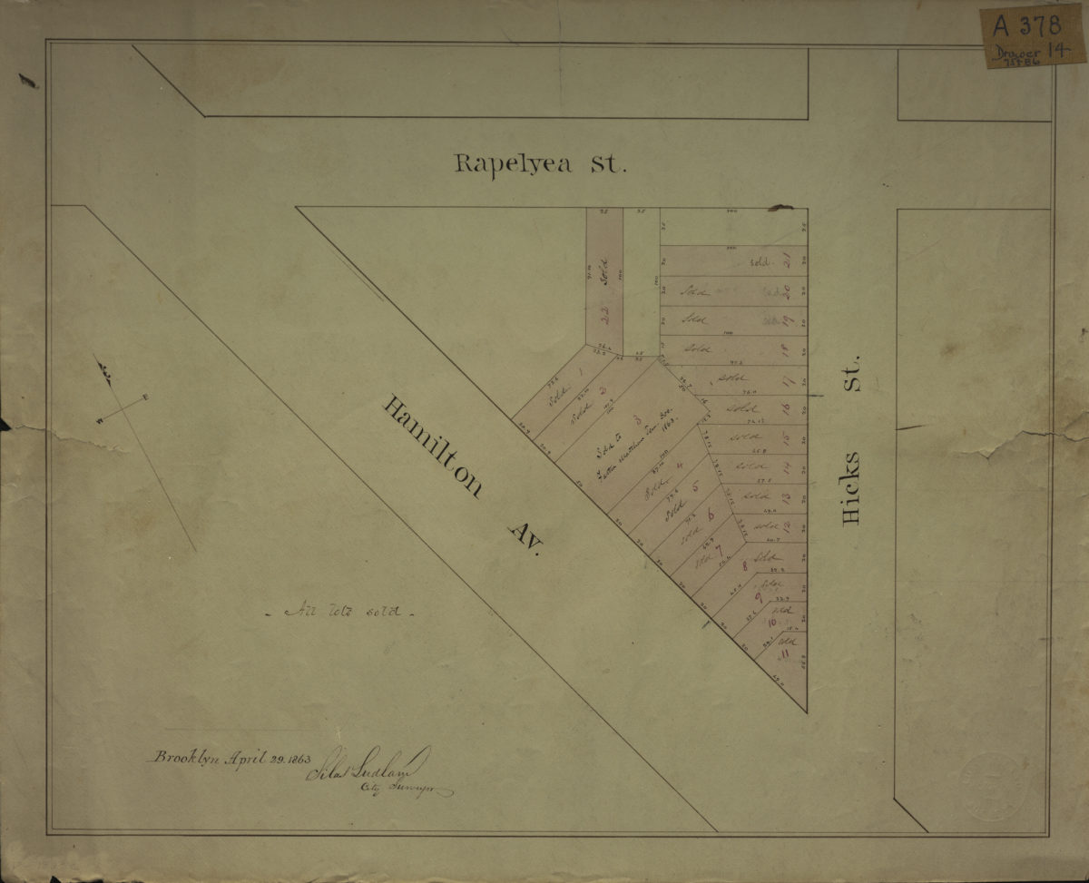
[Map of area bounded by Rapelyea St., Hamilton Ave., and Hicks St.]: Silas Ludlam, city surveyor
April 29, 1863